The best road cycling routes around Lozoya
4.7
(30)
5,051
riders
32
rides
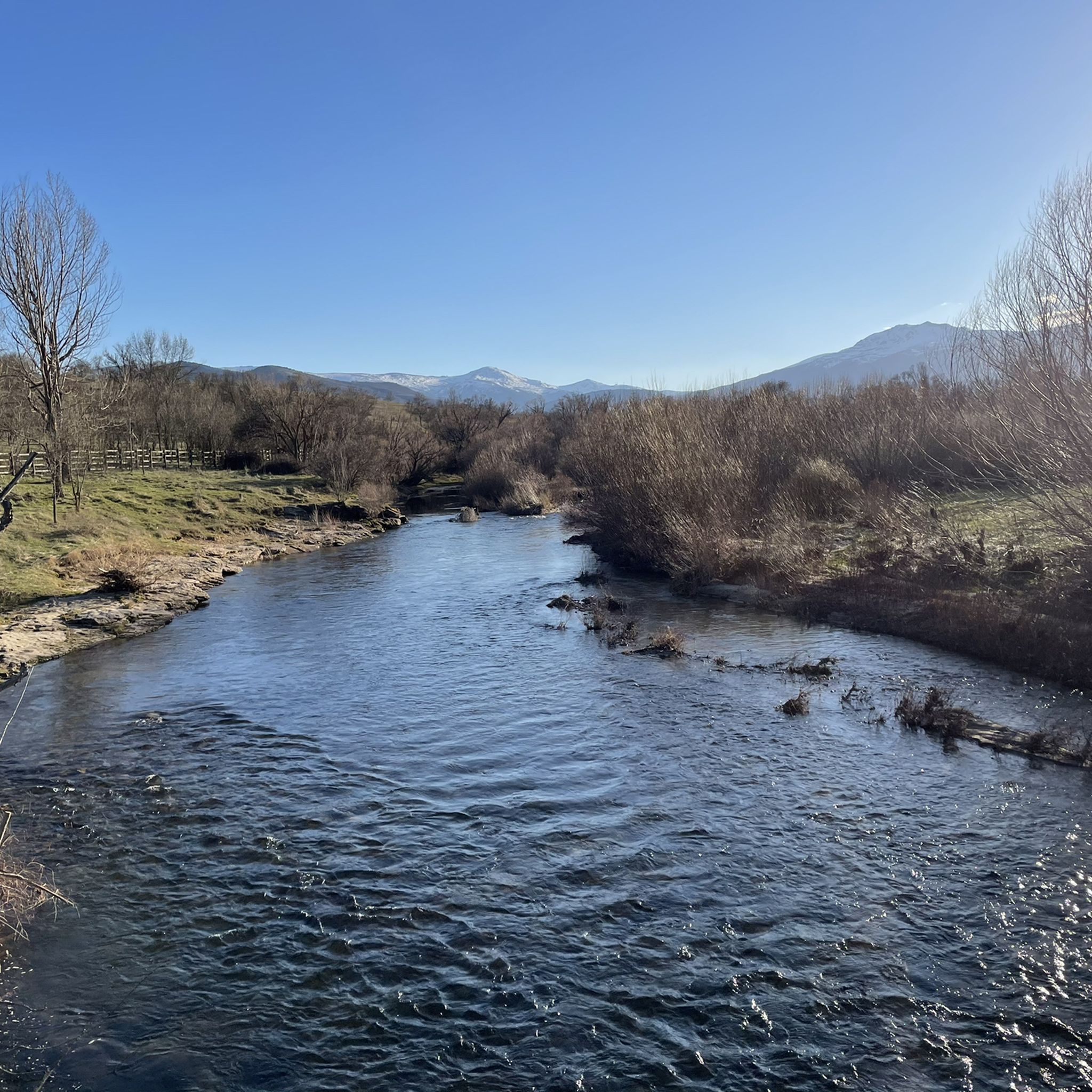
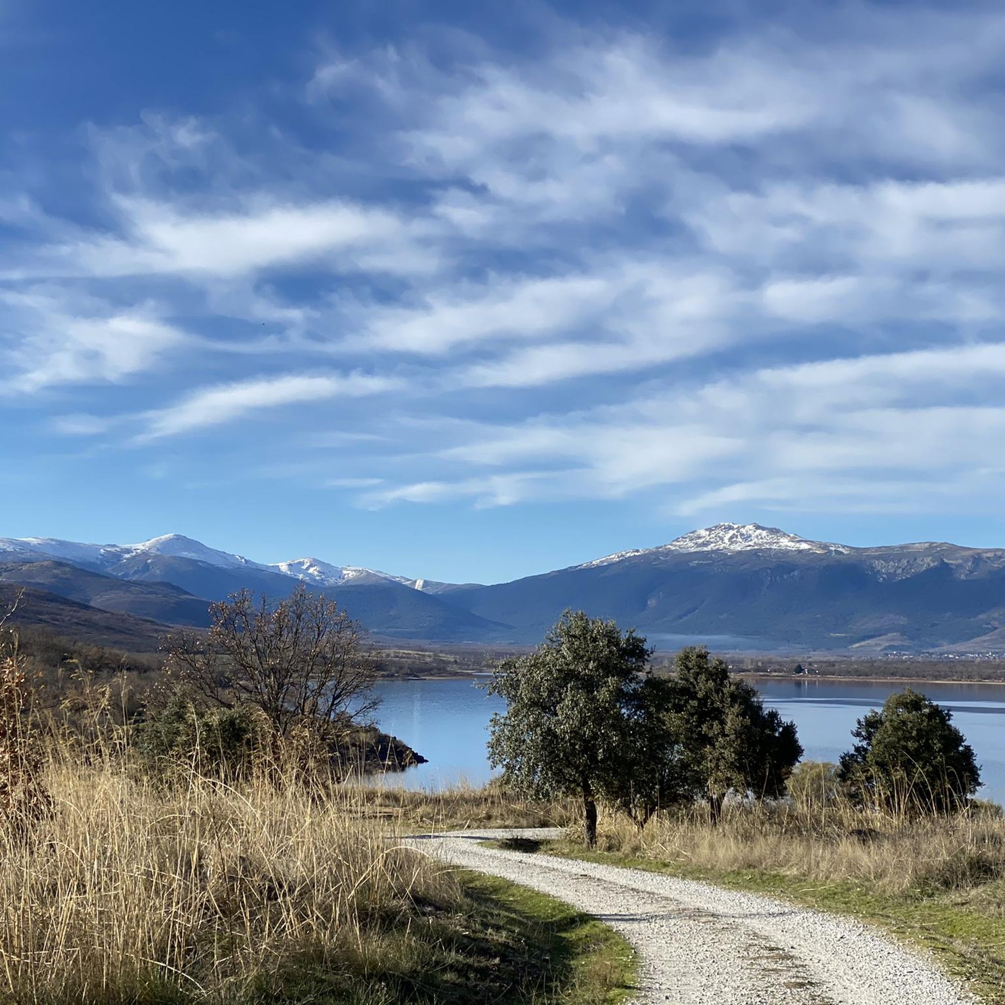
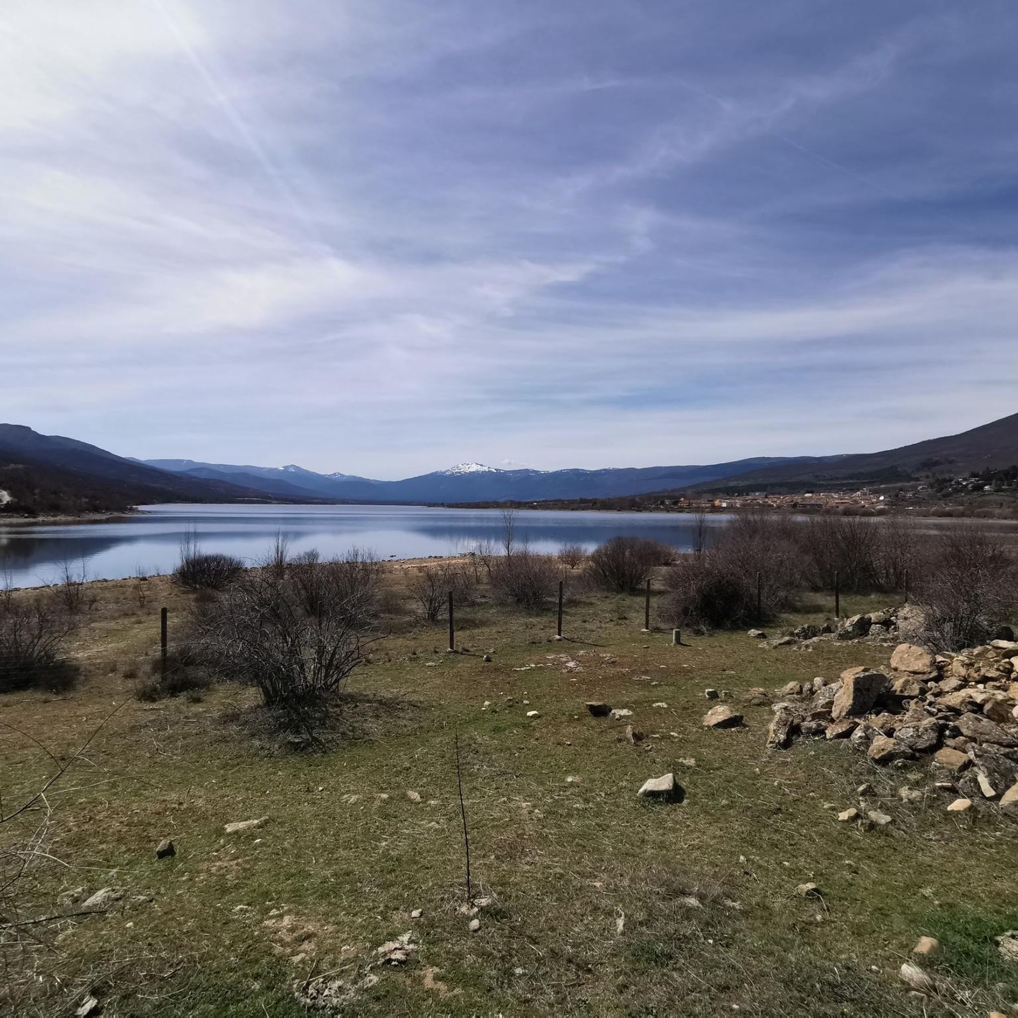
Road cycling routes around Lozoya are set within the Sierra de Guadarrama mountains, offering a diverse serrano landscape. The region is characterized by its mountainous encirclement, including the Montes Carpetanos to the north and the Cuerda Larga to the south. Cyclists encounter varied terrain, from the Lozoya River valley with its lush riverbank vegetation and extensive oak and pine forests, to high mountain meadows at altitudes above 1,100 meters. The modern Lozoya reservoir is a prominent feature, reflecting the surrounding…
Last updated: May 24, 2026
27
riders
Moderate road ride. Good fitness required. Mostly well-paved surfaces and easy to ride.
25
riders
Moderate road ride. Good fitness required. Mostly well-paved surfaces and easy to ride.

Sign up for free
30
riders
Hard road ride. Very good fitness required. Some segments of this route may be unpaved and difficult to ride.
5.0
(1)
31
riders
23.2km
01:26
660m
660m
Moderate road ride. Good fitness required. Mostly well-paved surfaces and easy to ride.
5.0
(1)
25
riders
43.0km
02:16
790m
790m
Moderate road ride. Good fitness required. Mostly well-paved surfaces and easy to ride.
Get access to more routes and recommendations from other explorers.
Sign up for free
Already have an account?
Our route recommendations are based on thousands of hikes, rides, and runs completed by other people on komoot.
Start today with a free account
Your next adventure awaits.
Login or Signup

Tips from the Community

Good water and the place is beautiful. A bit crowded if you're right next to it.
1
0

The Castle and Walls of Buitrago del Lozoya, one of the most important medieval sites in the Community of Madrid: The town has pre-Roman roots and was mentioned by Livy as a Celtiberian fortress (Litabrum). Muslim Fortification: Between the 8th and 11th centuries, the Muslims built the wall to protect the territory. Reconquest: Alfonso VI conquered it in 1085, and it passed into Christian hands. Current Castle: Built in the 15th century by the Mendoza family, during the reign of John II of Castile. Historical Uses: Noble residence, defensive stronghold, and setting for events such as the imprisonment of Juana la Beltraneja.
3
0

The **Centennial Yew of Canencia** is a unique tree of great botanical and landscape value in the Sierra de Guadarrama, in the Community of Madrid. It is not just a specimen, but part of a small population of yews that has survived in an exceptional setting, the Canencia Birch Forest. ### Characteristics and Location * **Species:** *Taxus baccata* (common yew). * **Age:** The most notable specimen is estimated to be between **400 and 500 years old**. Its longevity is one of the most fascinating characteristics of this species. * **Dimensions:** It has a trunk of considerable girth (around 4.10 meters) and a wide crown about 15 meters in diameter, which demonstrates its advanced age and health. * **Location:** It is located in the **Canencia Birch Forest** area, very close to the Canencia Pass. It is often included in the popular hiking trail known as "The Birch Forest Path" or the "Mojonavalle Waterfall Path." It is located near the Sestil del Maíllo stream. * **Environment:** The yew coexists with other unique species such as birch, holly, and Scots pines. This humid and protected microclimate has allowed the survival of these trees, which are relics of colder, wetter times. ### Importance and Uniqueness * **Botanical Value:** Yews are extremely slow-growing trees and are considered almost immortal. In Spain, they are a protected species, and finding such ancient specimens is a rarity. * **Landscape Value:** The Canencia yew stands out for its majestic appearance in the midst of a very picturesque forest, attracting numerous hikers and nature lovers. * **History and legend:** Like many ancient yew trees, it is steeped in legend. In many European cultures, they were considered sacred trees for their longevity and the toxicity of their parts (except for the pulp of their fruit). ### Access and routes To visit the yew, the most common route is the **Birch Forest Path**, which starts from the Canencia Pass itself. The path is signposted. You walk along a forest track to a detour that leads directly to the Chorrera de Mojonavalle, and a little further on, you will find the yew tree. Despite its age, the tree is increasingly visible and accessible, but it is essential to be respectful and not damage its surroundings to preserve this natural monument.
0
0

Fountain that you will find in the Puerto de Canencia.
0
0
Beautiful walled town located in the mountains north of Madrid.
0
0


Port suitable for beginners who want to get in shape
0
0
Frequently Asked Questions
How many road cycling routes are available in Lozoya?
Lozoya offers a wide selection of road cycling routes, with over 30 options available. These routes cater to various fitness levels, from easy rides to challenging climbs, allowing cyclists to explore the diverse landscapes of the Sierra de Guadarrama mountains.
Are there road cycling routes suitable for beginners in Lozoya?
Yes, Lozoya provides several road cycling routes ideal for beginners. There are at least 4 easy routes, many of which offer pleasant, flat rides along the reservoir's edge, perfect for those looking for a less demanding experience while enjoying the scenic beauty.
What are some of the more challenging road cycling climbs in the Lozoya region?
For experienced cyclists seeking a challenge, Lozoya features demanding climbs such as the Puerto de Canencia and the Navafría Pass. The Canencia Pass – Puerto de Canencia climb loop from Lozoya is a popular difficult route, known for its good road surfaces and incredible scenery. Another challenging option is the Plaza de España, Rascafría – Cotos Pass loop from Estación Gargantilla-Lozoya, which includes significant elevation gain through mountainous terrain.
What kind of landscapes can I expect to see while road cycling in Lozoya?
Road cycling in Lozoya offers a diverse range of landscapes. You'll encounter the striking serrano landscape of the Sierra de Guadarrama, lush riverbank vegetation along the Lozoya River, extensive oak and pine forests, and high mountain meadows. The modern Lozoya reservoir is a prominent feature, reflecting the surrounding mountains and adding to the scenic beauty of many routes.
Are there circular road cycling routes available in Lozoya?
Yes, many of the road cycling routes in Lozoya are designed as loops, allowing you to start and finish at the same point. Examples include the Canencia Pass – Puerto de Canencia climb loop from Lozoya and the Pinilla Reservoir Viewpoint – Navafría Pass loop from El Tomillar, which provide varied terrain and scenic views.
What are the typical distances of road cycling routes around Lozoya?
The road cycling routes around Lozoya vary significantly in distance. You can find shorter routes, such as the Pinilla Reservoir Viewpoint – Navafría Pass loop from El Tomillar at approximately 37.6 km (23.3 miles), to longer, more demanding rides like the Plaza de España, Rascafría – Cotos Pass loop from Estación Gargantilla-Lozoya, which covers about 67.6 km (42.0 miles).
What attractions or points of interest can I visit along road cycling routes in Lozoya?
Beyond the natural beauty, Lozoya offers several cultural and natural attractions. You might encounter the historic Monastery of El Paular or the unique walled town of Buitrago del Lozoya. For natural sights, consider visiting highlights such as the Purgatory Waterfall or the Nevero Peak, which are part of the region's natural monuments.
What do other cyclists say about road cycling in Lozoya?
The road cycling routes in Lozoya are highly rated by the komoot community, with an average score of 4.6 stars from over 30 reviews. Cyclists often praise the diverse terrain, from flat reservoir-side paths to challenging mountain passes, and the stunning natural beauty of the Sierra de Guadarrama.
When is the best time of year for road cycling in Lozoya?
The Lozoya region is generally excellent for road cycling during spring, summer, and autumn. These seasons offer pleasant temperatures and stable weather conditions, ideal for enjoying the diverse landscapes and mountain passes. Spring brings lush greenery, while autumn showcases vibrant fall colors.
Is it possible to road cycle in Lozoya during winter?
While road cycling is possible in Lozoya during winter, conditions can be challenging, especially at higher altitudes. Areas like Peñalara and Pico del Nevero can have snow lingering into the summer, and mountain passes may be affected by ice or snow. It's advisable to check weather and road conditions carefully and be prepared for colder temperatures if cycling in winter.
Are there options for parking near the road cycling routes in Lozoya?
Yes, many road cycling routes in Lozoya start from towns and villages that offer parking facilities. For instance, routes often begin near Lozoya, El Tomillar, or Estación Gargantilla-Lozoya, where you can typically find places to park your vehicle before starting your ride.
How accessible are the road cycling routes in Lozoya by public transport?
The Lozoya Valley, being part of the Community of Madrid, has some public transport connections, primarily bus services, that can bring you to the starting points of various routes. However, direct access to all trailheads by public transport might be limited, so planning your journey in advance is recommended.
Are there less crowded road bike trails in Lozoya for a more peaceful ride?
While popular climbs like Puerto de Canencia are well-known, many routes in Lozoya, particularly those traversing through extensive forests or less frequented areas, can offer a more peaceful cycling experience with lower traffic. The region's vastness allows for finding quieter paths away from the main tourist hubs.
Most popular attractions around Lozoya

Get inspired with the komoot mobile app


Explore more
Browse the best Road cycling routes in other regions.
