The best walks and hikes around La Granadella
4.6
(30)
181
hikers
19
hikes
Hiking around La Granadella offers varied terrain characterized by dramatic coastal cliffs and dense pine forests. The region, located in the south of Xàbia, Spain, features a "green lung" in the La Granadella Forest Park, designated a Special Protection Area for Birds. Trails traverse diverse flora, including low scrublands and unique endemic species, with views of the Mediterranean Sea.
Best hiking trails around La Granadella
- The most popular hiking route is Racó del Teix – La Cogulla Summit loop from…
Last updated: June 25, 2026
5.0
(2)
8
hikers
17.8km
06:15
790m
790m
Hard hike. Very good fitness required. Mostly accessible paths. Sure-footedness required.
4.3
(4)
14
hikers
8.61km
02:20
120m
120m
Moderate hike. Good fitness required. Easily-accessible paths. Suitable for all skill levels.

Sign up for free
5.0
(1)
6
hikers
9.56km
03:23
550m
550m
Moderate hike. Good fitness required. Easily-accessible paths. Suitable for all skill levels.
4.0
(1)
7
hikers
13.5km
04:11
510m
510m
Hard hike. Good fitness required. Sure-footedness, sturdy shoes and alpine experience required.
4.5
(2)
4
hikers
14.6km
05:01
740m
740m
Hard hike. Very good fitness required. Easily-accessible paths. Suitable for all skill levels.
Get access to more routes and recommendations from other explorers.
Sign up for free
Already have an account?
Our route recommendations are based on thousands of hikes, rides, and runs completed by other people on komoot.
Start today with a free account
Your next adventure awaits.
Login or Signup
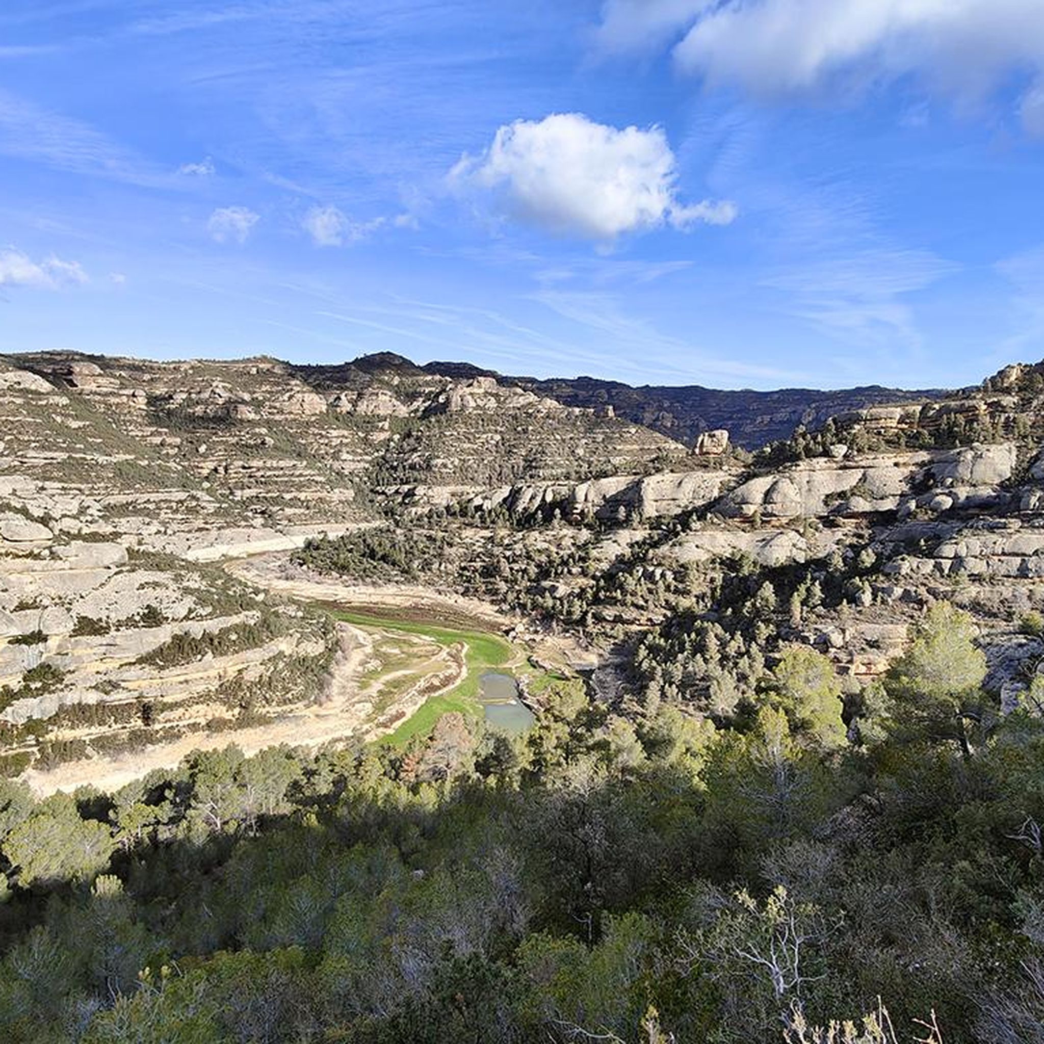
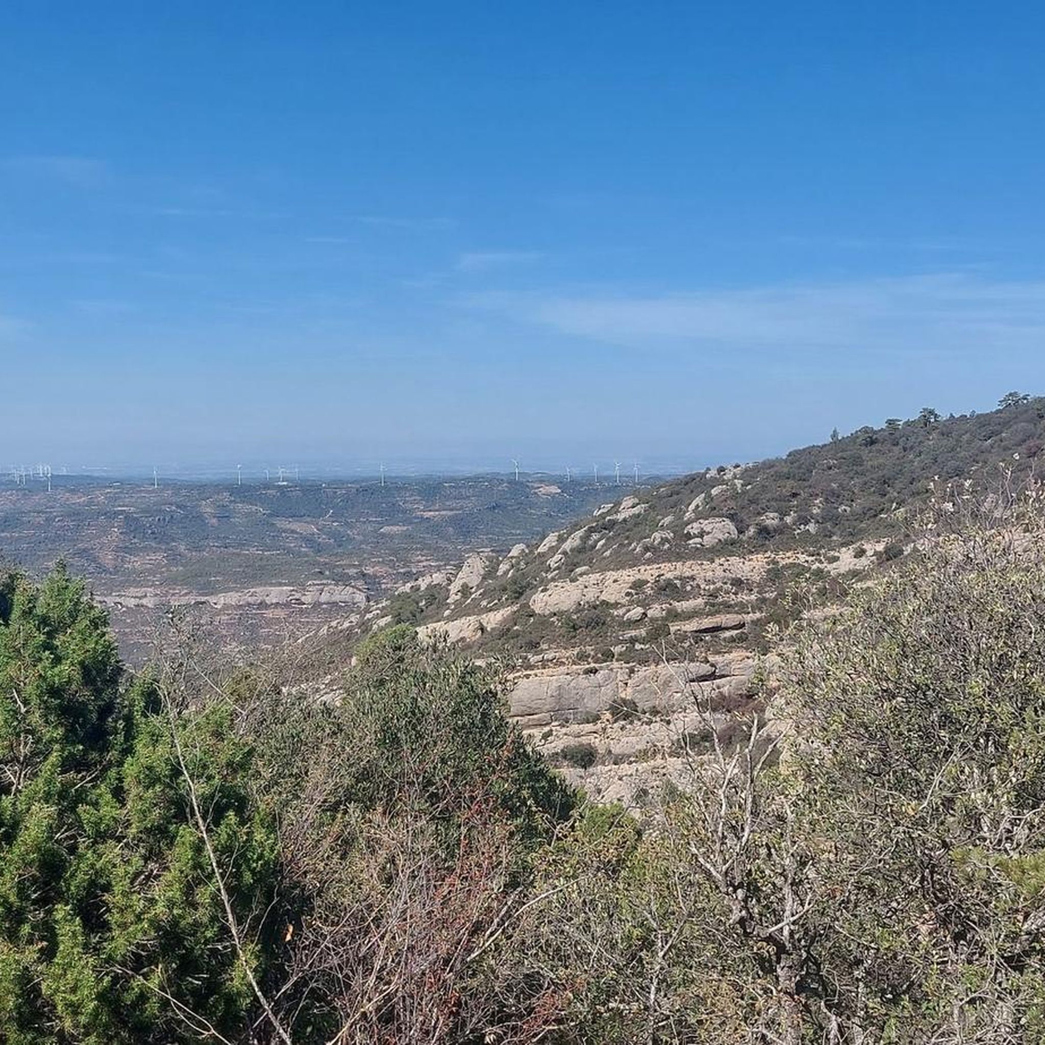
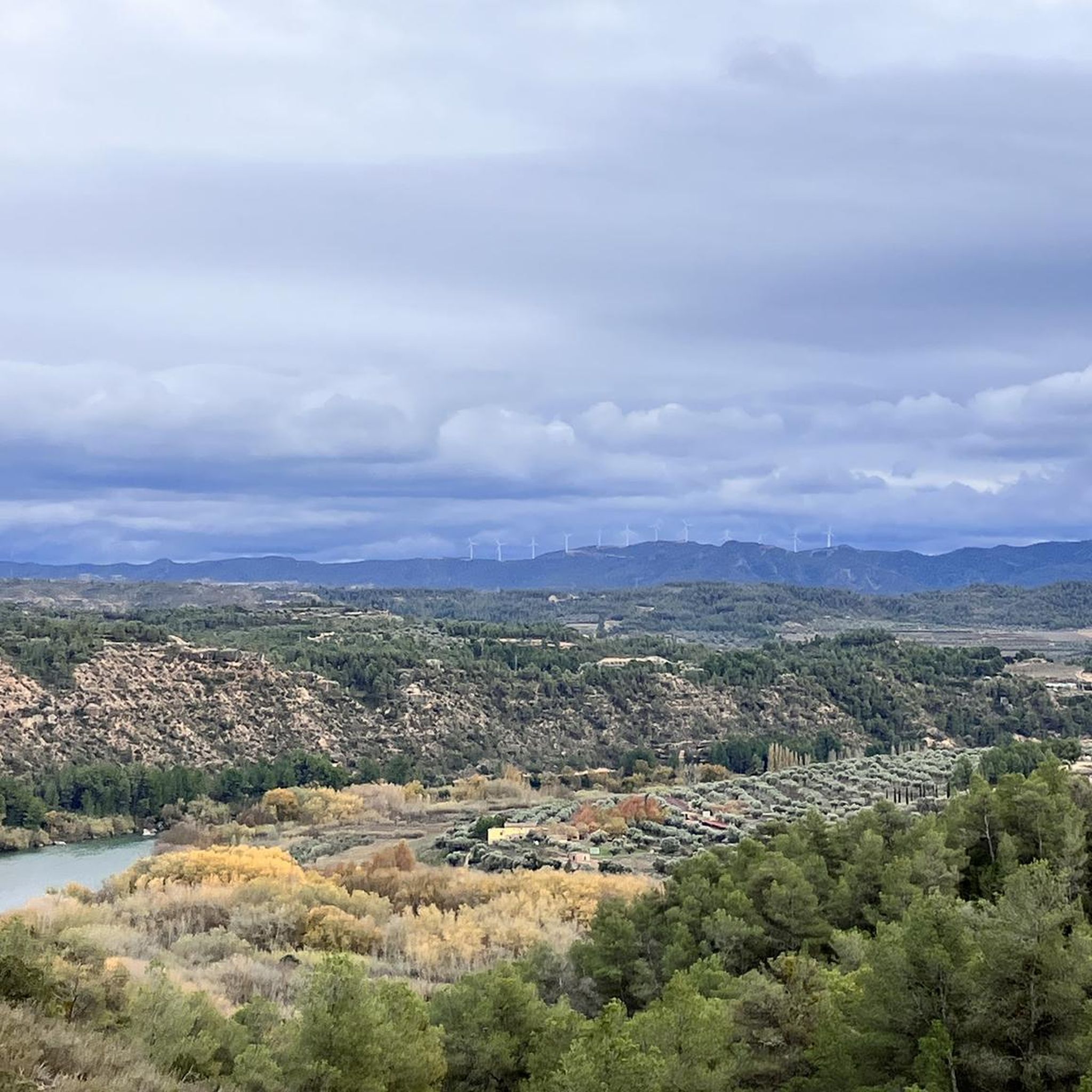
Tips from the Community

Another of the spectacular corners that the Serra del Montsant offers us
0
0
Nice corner that invites you to silence and meditation
0
0

Baroque church built in the 18th century. The building has an attached bell tower on the left side. Inside there are some decorative paintings.
2
0
Small hermitage very characteristic for being built under the rocks of the Sierra del Montsant. Adjacent to the hermitage is the former hermit's house. The space also has a large picnic area with stone tables and barbecues.
2
0

This corner of Montsant is one of the emblematic places of the Natural Park. It is located in the heart of the mountains and can be reached from La Morera de Montsant, either by the Grau de Salfores, or by the Grau de la Grallera towards the Piló dels Senyalets, and from both points to the Pi del Cugat , where you have to take a path that goes down to the Clot. It is an oasis of greenery in the middle of the arid Serra Major, as there is usually water all year round. Contrary to many people's beliefs, in the middle of nowhere, there is a walnut tree, not a cherry tree. The cherry tree that gave the place its name died years ago and a walnut tree was planted in its place. In the past, shepherds used to bring their flocks to drink, and the drinking troughs they prepared for their flocks are still preserved.
0
0
Frequently Asked Questions
How many hiking trails are available in La Granadella?
La Granadella offers over a dozen hiking routes, catering to various skill levels. You'll find a mix of easy strolls, moderate treks, and more challenging paths through its diverse landscapes.
Are there any easy hiking routes suitable for beginners or families?
Yes, La Granadella has several easy routes perfect for beginners or families. For a pleasant and accessible walk, consider the Serra Major – lo Planassot loop from Font de Sant Salvador, which is about 4.4 kilometers long and takes around 1 hour 37 minutes to complete.
What kind of terrain can I expect on the hiking trails in La Granadella?
The terrain in La Granadella is quite varied, characterized by dramatic coastal cliffs, dense pine forests, and diverse scrublands. You'll encounter paths winding through calcareous zones with French lavender, and marly limestone areas featuring species like Anthyllis cytisoides and white rosemary, offering a mosaic of colors and textures.
Are there any circular hiking routes in La Granadella?
Yes, many routes in La Granadella are designed as loops. For example, the Racó del Teix – La Cogulla Summit loop from La Presa is a popular moderate option, covering about 9.8 kilometers. Another great choice is the Lo Planassot – Punta del Bep loop from Margalef, also around 9.8 kilometers, offering varied terrain and coastal vistas.
What are some notable natural features or viewpoints to look out for on the trails?
La Granadella is rich in natural beauty and stunning viewpoints. You can expect breathtaking panoramic views of the Mediterranean Sea from various points along the coastal cliffs. Specific viewpoints like Mirador Granadella, Castell de la Granadella, and Ambolo offer spectacular vistas. The region is also home to unique flora, including rare orchids, and dramatic rock formations.
Are there any historical sites or landmarks to explore while hiking?
Absolutely. The trails often lead past fascinating historical and cultural sites. You can discover ancient secrets like Ocher Mines, traditional lime kilns, and 'Les Pesqueres' – unique traditional fishing spots on the cliffs. The ruins of the 18th-century Castell de la Granadella, a horseshoe-shaped fort, offer panoramic views and a glimpse into the area's past. You might also encounter the Mas de Melons Nature Reserve Information Point.
What do other hikers enjoy most about hiking in La Granadella?
The hiking experience in La Granadella is highly rated by the komoot community, with an average score of 4.7 stars. Hikers frequently praise the stunning coastal views, the diverse natural landscapes, and the well-maintained paths that offer a rewarding outdoor adventure.
Is La Granadella suitable for dog-friendly hikes?
While specific regulations can vary, many natural areas in Spain are generally welcoming to dogs on trails, especially if kept on a leash. It's always advisable to check local signage or park rules for the specific trail you plan to hike to ensure it's dog-friendly.
What is the best time of year to go hiking in La Granadella?
The best time for hiking in La Granadella is typically during the spring (March to May) and autumn (September to November) months. During these periods, the weather is milder and more pleasant, avoiding the intense heat of summer and offering comfortable conditions for exploring the trails and enjoying the vibrant flora.
Are there any waterfalls in the La Granadella area?
Yes, there is a notable waterfall in the broader region. You can find the Cadolla dels Forats Waterfall, which can be an interesting natural feature to explore.
Are there any caves accessible along the hiking routes?
Yes, the region features some interesting caves. The Santa Llúcia Hospital Cave is one such highlight. Additionally, the Cova del Llop Marí is notable for snorkeling and exploration, and the Elephant Cave can be found along the Route of the Faro de la Nao.
Are there any longer, more challenging hikes available?
For those seeking a greater challenge, La Granadella offers more difficult routes. The Mas del Serrador Ruins loop from Margalef is an 8.4-mile (13.4 km) trail that takes about 4 hours 10 minutes, leading through forested areas and past historical ruins. Another demanding option is the Clot del Cirer – Racó del Teix loop from Margalef, a difficult 17.7-kilometer route.
Most popular attractions around La Granadella

Get inspired with the komoot mobile app


Explore more
Browse the best Hikes in other regions.
