The best cycling routes around Breitenau am Hochlantsch
4.6
(778)
8,435
riders
121
rides
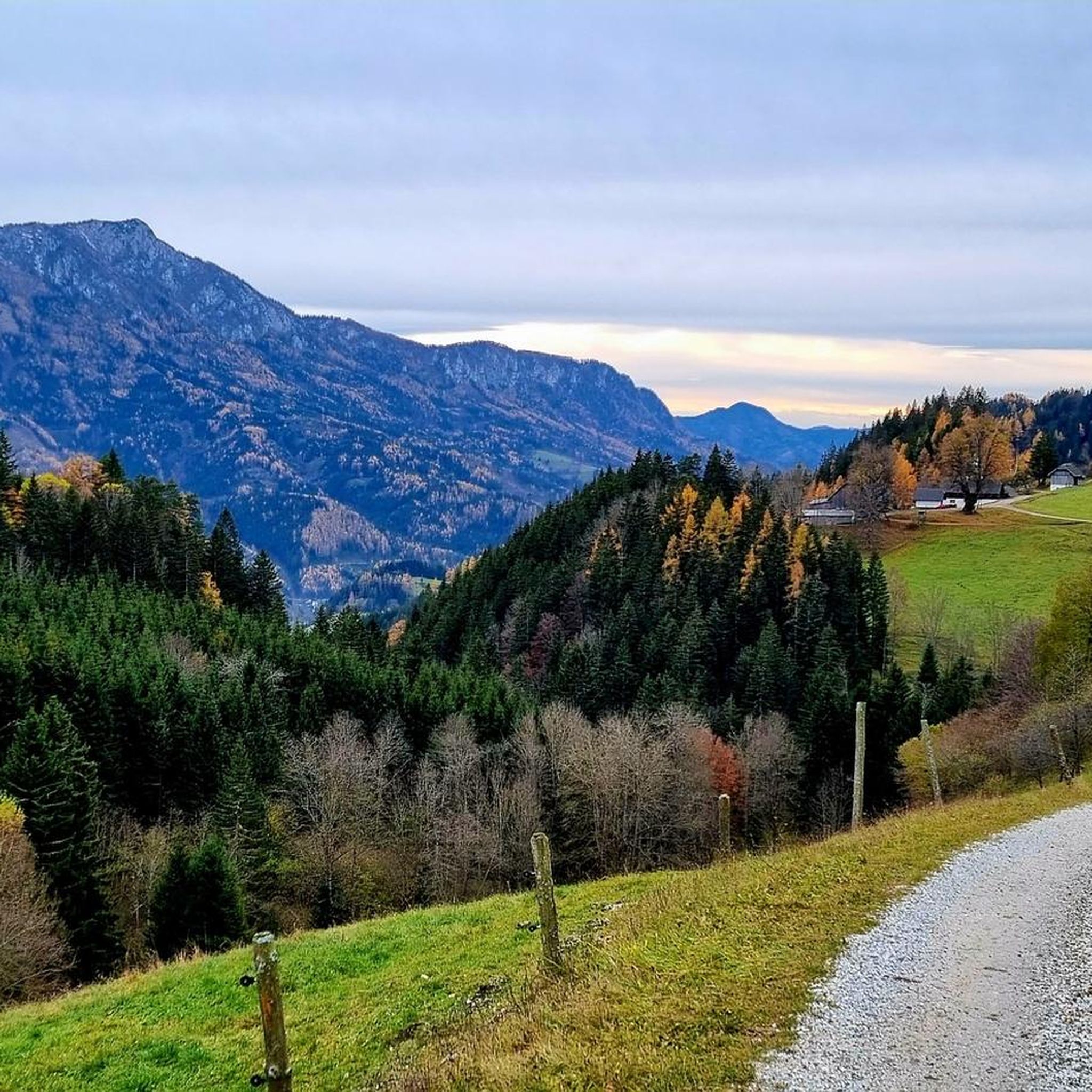
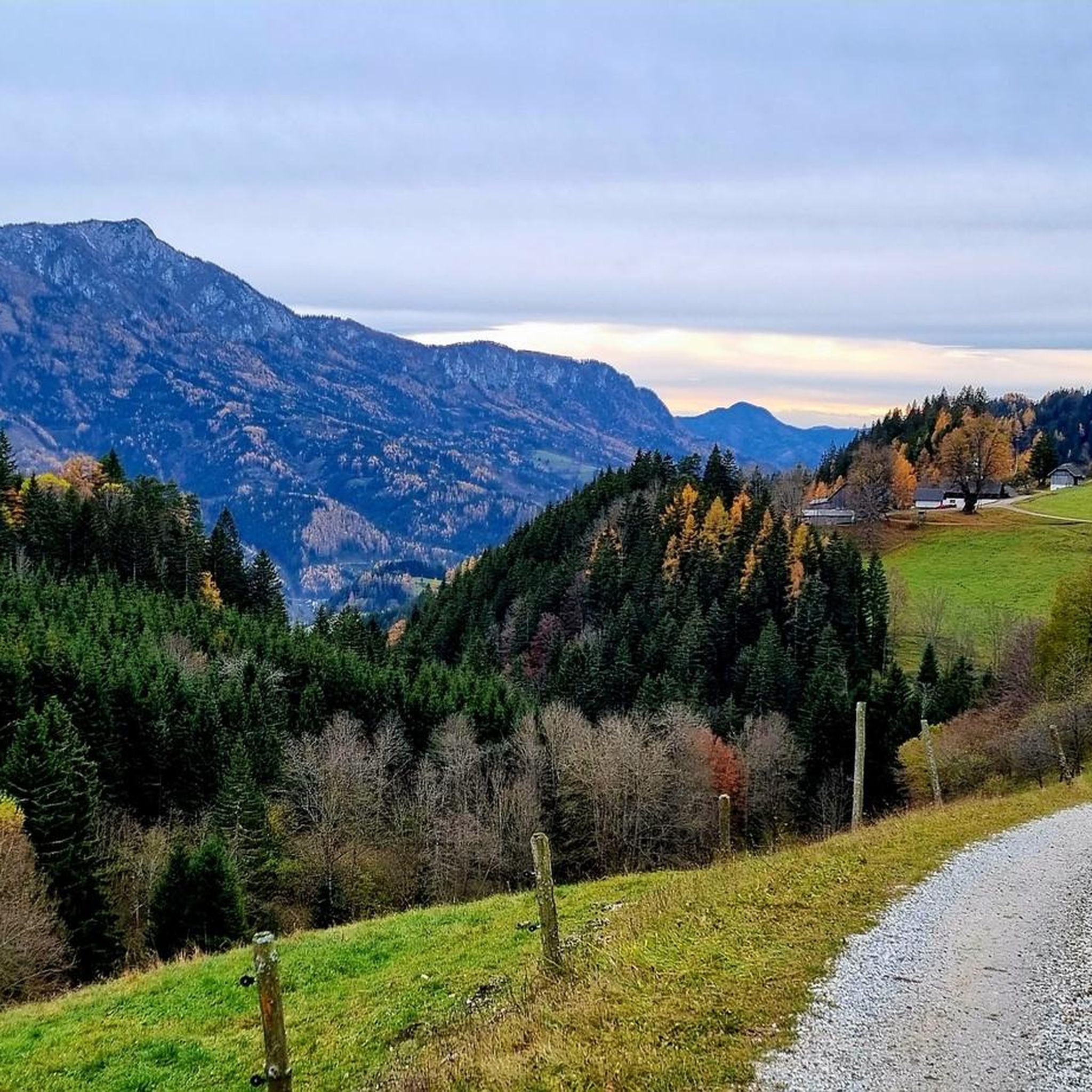
Touring cycling around Breitenau am Hochlantsch offers routes through the Almenland Nature Park, characterized by alpine pastures, rolling hills, and mountain formations. The landscape includes the prominent Hochlantsch mountain and serene lakes like Teichalmsee. This region provides a diverse backdrop for cycling, with varied terrain from paved roads to unpaved sections.
Best touring cycling routes around Breitenau am Hochlantsch
- The most popular touring cycling route is Wooden Ox at Teichalmsee – Lake Teichalm loop from Latschen-Hochmoor, a 28.3 miles…
Last updated: September 29, 2026
4.3
(11)
71
riders
26.2km
01:48
430m
430m
Moderate bike ride. Good fitness required. Mostly paved surfaces. Suitable for all skill levels.
4.5
(6)
56
riders
57.5km
04:33
1,170m
1,170m
Hard bike ride. Very good fitness required. Mostly paved surfaces. Suitable for all skill levels.

4.5
(4)
47
riders
32.8km
03:05
1,080m
1,080m
Hard bike ride. Very good fitness required. Mostly paved surfaces. Suitable for all skill levels.
5.0
(1)
14
riders
24.3km
02:02
680m
680m
Hard bike ride. Very good fitness required. Mostly paved surfaces. Suitable for all skill levels.
5.0
(1)
12
riders
25.9km
02:05
740m
740m
Hard bike ride. Very good fitness required. Mostly paved surfaces. Suitable for all skill levels.
Get access to more routes and recommendations from other explorers.
Already have an account?
Our route recommendations are based on thousands of hikes, rides, and runs completed by other people on komoot.
Start today with a free account
Your next adventure awaits.
Popular around Breitenau am Hochlantsch

Central Alps Trail Eastern Section – Discover Austria
The Styrian Mariazell Way – a pilgrim's hike through southeastern Austria

Discover Styria in Austria on foot – ‘From Glacier to Wine’ North Route
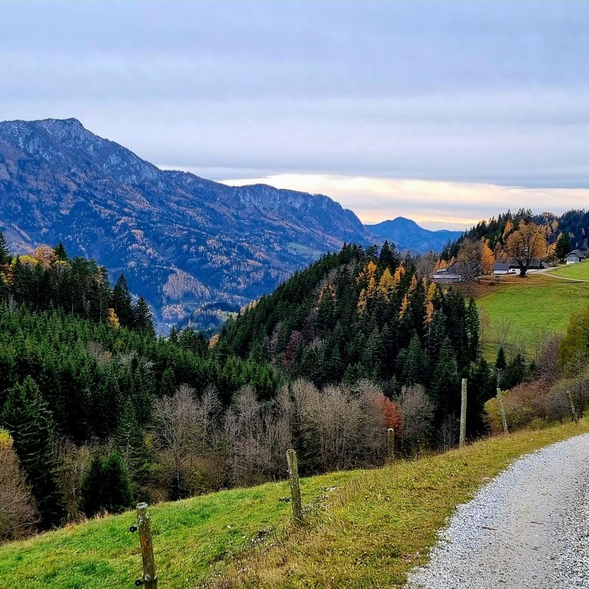
Hiking around Breitenau am Hochlantsch
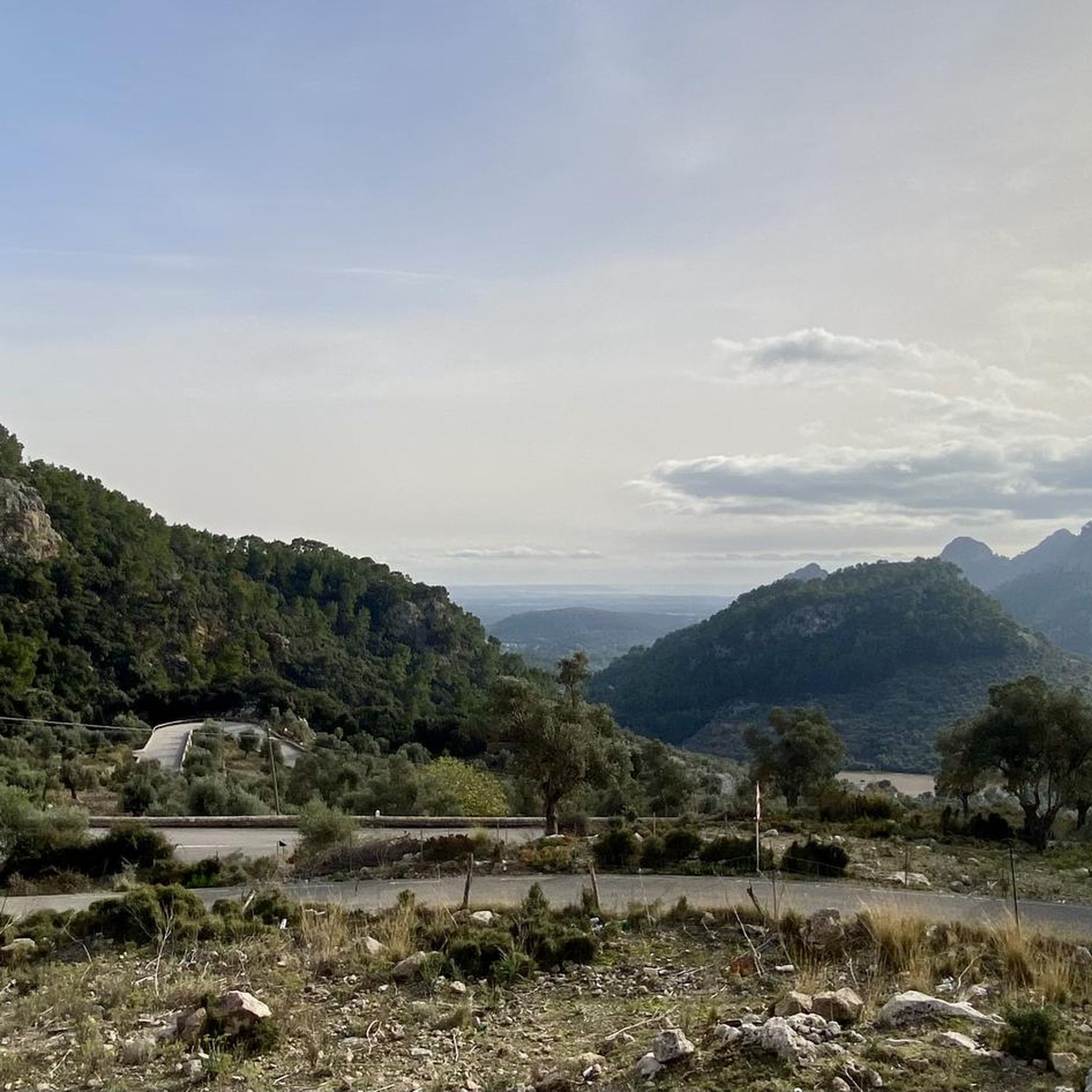
Mountain Hikes around Breitenau am Hochlantsch
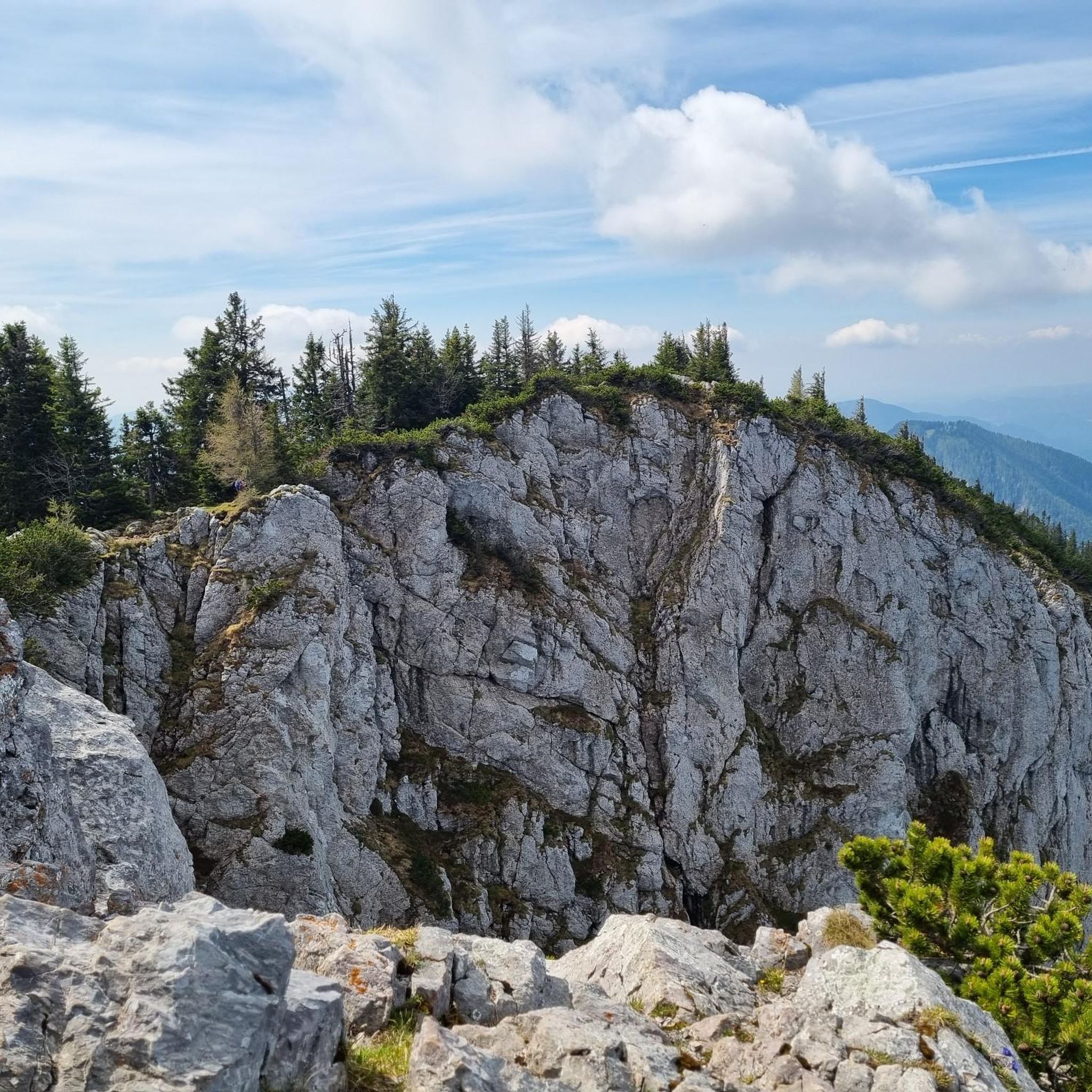
Running Trails around Breitenau am Hochlantsch
MTB Trails around Breitenau am Hochlantsch
Road Cycling Routes around Breitenau am Hochlantsch

Gravel biking around Breitenau am Hochlantsch
Other adventures around Breitenau am Hochlantsch


Tips from the Community

This is the highest point of the tour between Teichalm and Brandlucken.
0
0

Let's begin our tour in Volkshauspark on the left bank of the Mur. From here, the historic old town is directly opposite you. The colorful Mur riverfront, with its houses picturesquely reflected in the water, is particularly impressive. Enjoy this view during a relaxing walk through the well-maintained park. For a more comprehensive view, I subsequently recommend the Juliuswarte. It is located at an altitude of around 578 meters and offers a far-reaching panorama over the entire city area as well as the idyllic Murtal valley. Another worthwhile option is the Adriacher Panoramaweg, also known as Circular Route 6. It leads from the main square across the Mur towards Adriach. Along the way, you can expect varied hiking trails and ever-new perspectives on Frohnleiten. This way, you experience the town from different angles, from the charming old town to the surrounding landscape.
0
0

We took a break here during our walk around the lake. The decor is quaint and authentic. The service was friendly. And the coffee tasted good too. We liked it very much. By the way, you can also pay by card here.
0
0
Imposing "cattle" on the lake shore 😎
0
0
An imposing "cattle" on the edge of the lake 😎
0
0

Super nice cycle path, little traffic
3
0
Super great old town with a beautiful main square
3
0
Frequently Asked Questions
What types of terrain can I expect on touring cycling routes around Breitenau am Hochlantsch?
The routes in Breitenau am Hochlantsch offer a diverse mix of terrain. You'll find both asphalted roads, suitable for trekking and road bikes, and unpaved sections that traverse alpine pastures, making them ideal for mountain biking. The region is characterized by rolling hills, alpine pastures, and mountain formations within the Almenland Nature Park.
Are there any easy touring cycling routes suitable for beginners or families?
Yes, Breitenau am Hochlantsch offers a good selection of easier routes. There are 24 easy touring cycling routes available, typically involving up to two hours of riding and around 500 feet of elevation gain on mostly paved surfaces. These are suitable for all skill levels, including families looking for a more relaxed ride.
What are some notable natural features or landmarks I can see while cycling in the area?
The region is rich in natural beauty and landmarks. You can cycle past the serene Lake Teichalm, a prominent feature often included in cycling loops. The majestic Hochlantsch mountain provides a dramatic backdrop, and you might even spot the unique Wooden Ox at Teichalm Lake. Other highlights include the Heulantsch Summit and the Hochlantsch Summit itself.
Are there any challenging touring cycling routes for experienced riders?
Absolutely. For experienced cyclists seeking a challenge, there are 63 difficult routes available. These routes often exceed five hours in duration or 1500 feet of elevation gain, requiring very good fitness. An example is the Wooden Ox at Teichalmsee – Lake Teichalm loop from Latschen-Hochmoor, which covers 45.5 km with over 1200 meters of elevation gain.
What do other touring cyclists think about the routes in Breitenau am Hochlantsch?
The touring cycling routes around Breitenau am Hochlantsch are highly regarded by the komoot community, holding an impressive average rating of 4.5 stars from over 670 reviews. Cyclists often praise the varied terrain, the stunning alpine scenery of the Almenland Nature Park, and the well-maintained network of trails.
Can I find circular touring cycling routes in Breitenau am Hochlantsch?
Yes, many of the touring cycling routes in the area are designed as loops, allowing you to start and end at the same point. For instance, the Sommeralm (1400 m) – Stoakogl Hut loop from Latschen-Hochmoor is a popular circular path that traverses alpine pastures and offers expansive views.
What is the best season for touring cycling in Breitenau am Hochlantsch?
The best time for touring cycling in Breitenau am Hochlantsch is generally from spring through autumn. During these seasons, the alpine pastures are green, and the weather is most favorable for outdoor activities. In colder months, the nature park transforms into a destination for winter sports, making many cycling routes inaccessible due to snow.
Are there routes that pass by the Sommeralm or Teichalm areas?
Yes, both the Sommeralm and Teichalm are central to many touring cycling routes. The Sommeralm (1400 m) – Plankogel Wind Turbine loop from Latschen-Hochmoor leads through the Sommeralm alpine region. The Lake Teichalm – Wooden Ox at Teichalmsee loop from Latschen-Hochmoor is another excellent option that explores the scenic Teichalm area.
Is public transport available to access touring cycling routes in Breitenau am Hochlantsch?
While Breitenau am Hochlantsch is well-suited for cycling, specific public transport options for carrying bicycles directly to trailheads might be limited. However, the Mur Cycle Path, a fantastic road bike tour, is accessible from nearby Pernegg, offering connections to a wider network.
Are there any routes that offer panoramic views?
Many routes in the Almenland Nature Park offer stunning panoramic views, especially those with significant elevation gain. The Eibeggsattel mountain pass, for example, is part of demanding cycling tours and provides particularly beautiful views over the Mürztal orchard region. Routes around the Hochlantsch mountain also offer expansive vistas.
What kind of elevation gain can I expect on the touring cycling routes?
Elevation gain varies significantly depending on the route's difficulty. Easy routes might have around 500 feet of gain, while moderate routes can involve up to 1500 feet. Challenging routes, such as the Lake Teichalm – Old Town Frohnleiten loop from Latschen-Hochmoor, can feature over 1100 meters (3600 feet) of climbing, requiring good fitness.
Most popular routes around Breitenau am Hochlantsch
Most popular attractions around Breitenau am Hochlantsch

Get inspired with the komoot mobile app


Explore more
Browse the best Cycling routes in other regions.
