The best walks and hikes around Valero
4.5
(159)
945
hikers
39
hikes
Hiking trails around Valero, located in Spain's Sierra de Francia, traverse diverse landscapes including wooded trails, mountainous regions, and hidden valleys. The area features ancient rocky outcrops and forests of oak and chestnut trees. Many routes follow flowing streams and pass by waterfalls, offering varied terrain for hikers.
Best hiking trails around Valero
- The most popular hiking route is Sendero de las Honfrías - circular from Linares de Riofrío - Espacio Natural de las Quilamas, a 4.5 miles (7.2…
Last updated: June 28, 2026
25
hikers
Moderate hike. Good fitness required. Easily-accessible paths. Suitable for all skill levels.
2
hikers
9.61km
03:13
210m
210m
Hard hike. Good fitness required. Sure-footedness, sturdy shoes and alpine experience required.

Sign up for free
25
hikers
7.59km
02:11
190m
190m
Moderate hike. Good fitness required. Easily-accessible paths. Suitable for all skill levels.
4.5
(6)
30
hikers
18.9km
05:28
500m
500m
Hard hike. Very good fitness required. Easily-accessible paths. Suitable for all skill levels.
3.0
(1)
9
hikers
12.9km
03:43
320m
320m
Moderate hike. Good fitness required. Easily-accessible paths. Suitable for all skill levels.
Get access to more routes and recommendations from other explorers.
Sign up for free
Already have an account?
Our route recommendations are based on thousands of hikes, rides, and runs completed by other people on komoot.
Start today with a free account
Your next adventure awaits.
Login or Signup
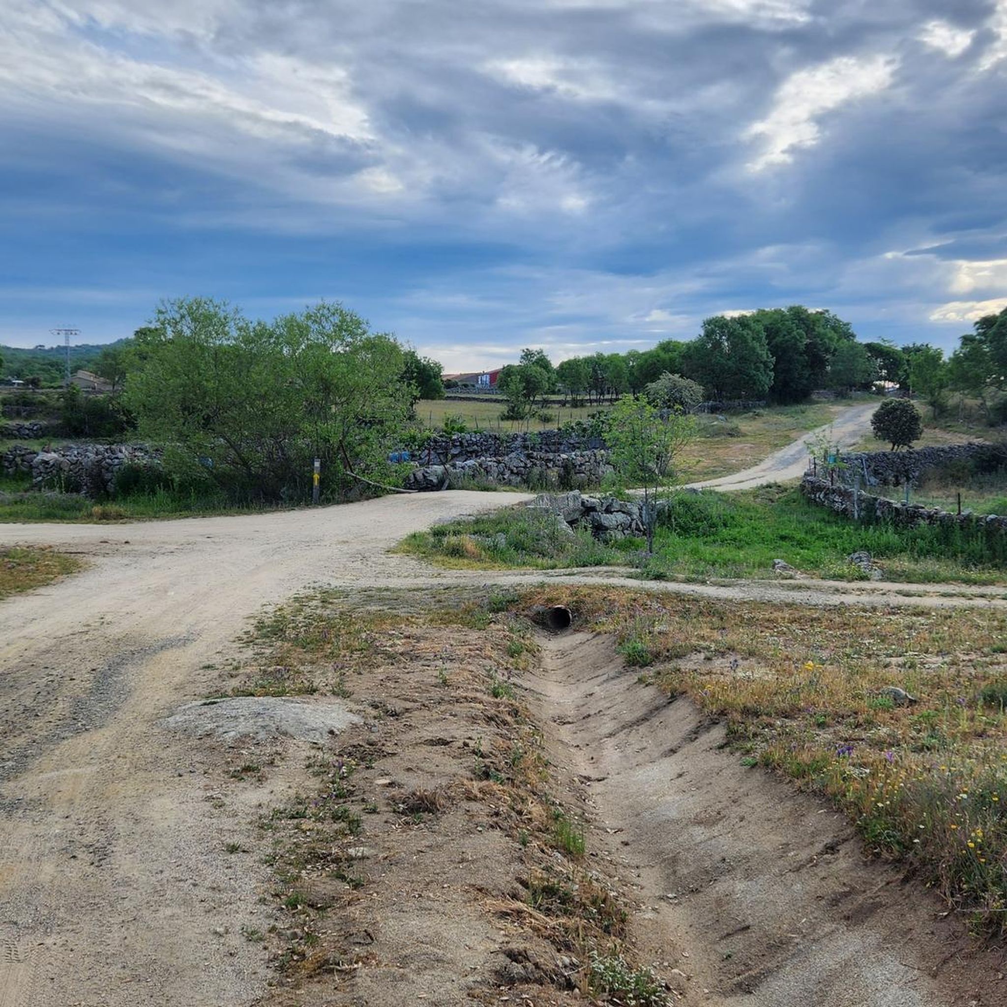
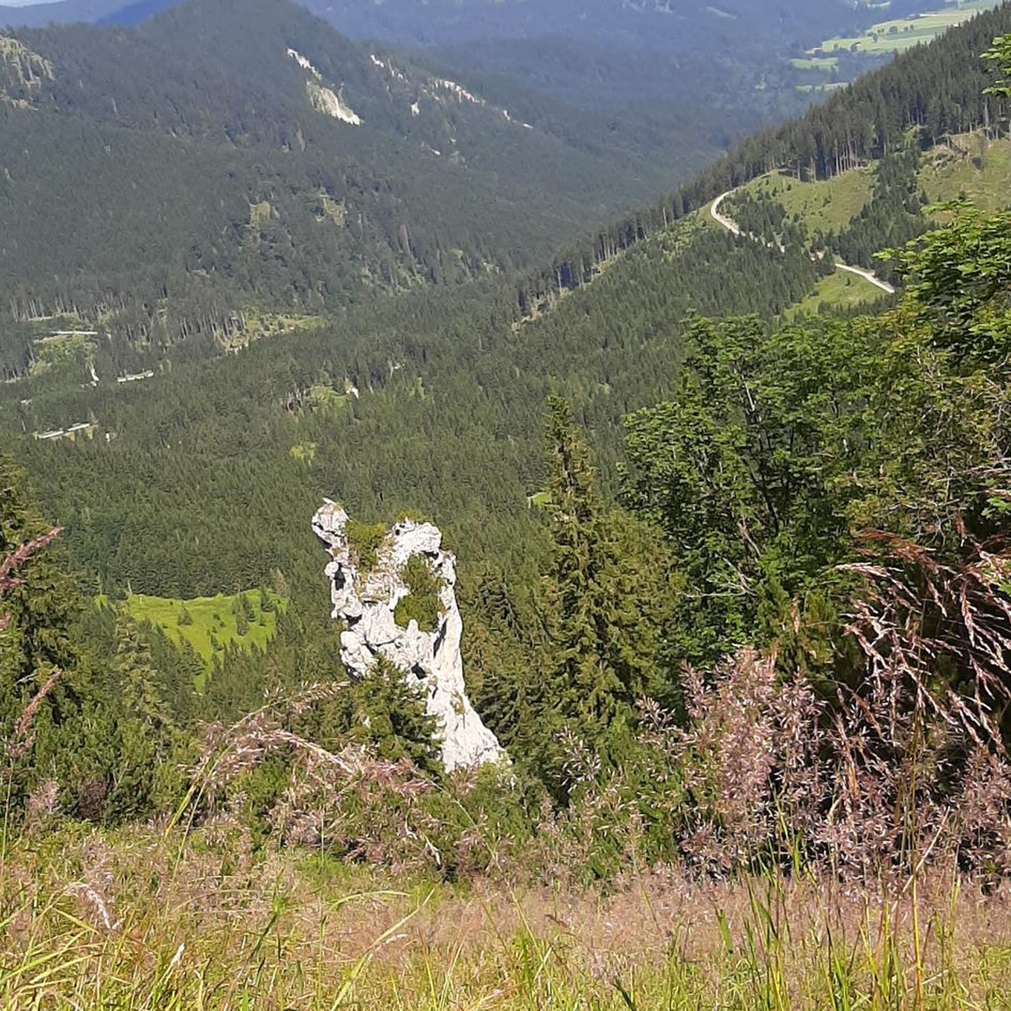
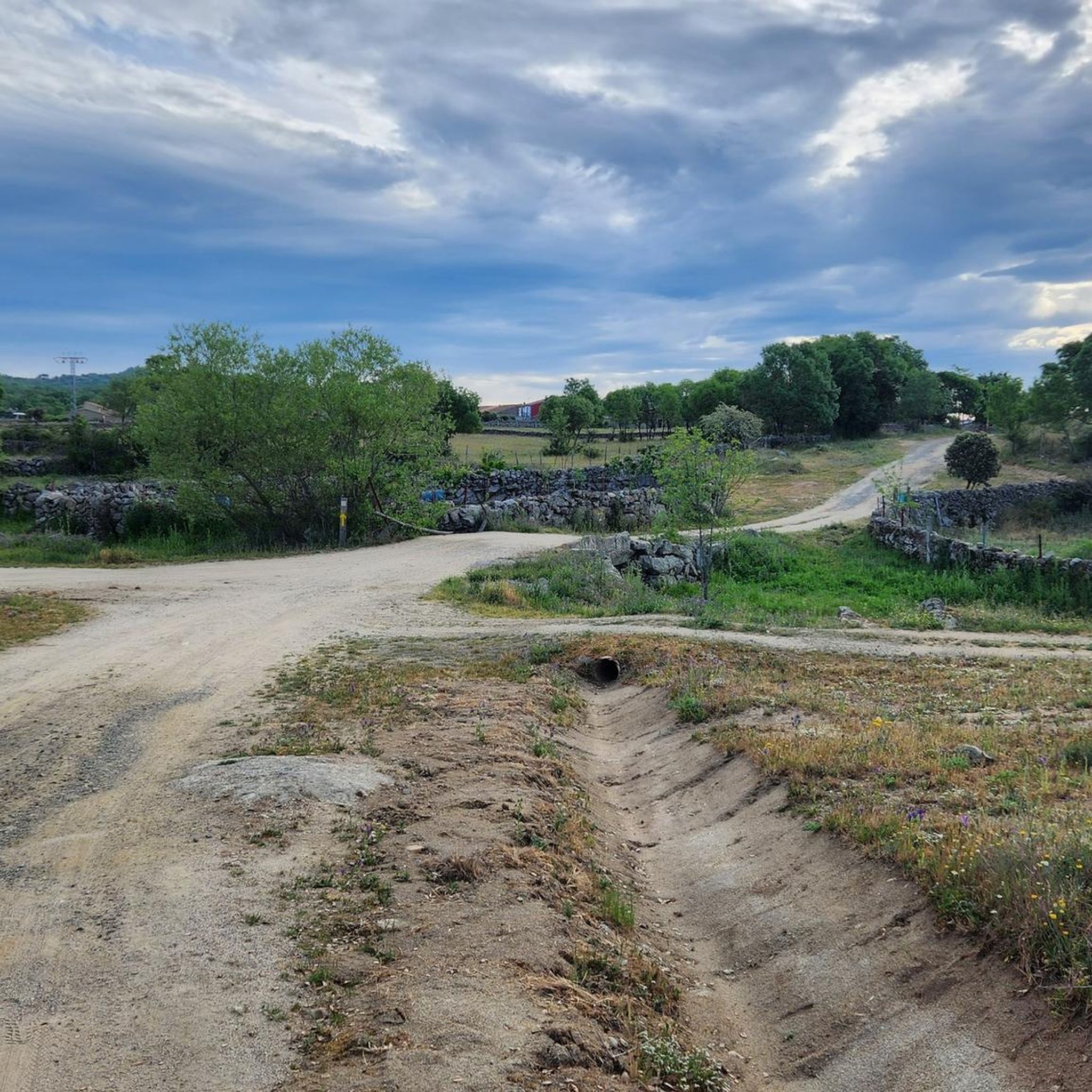
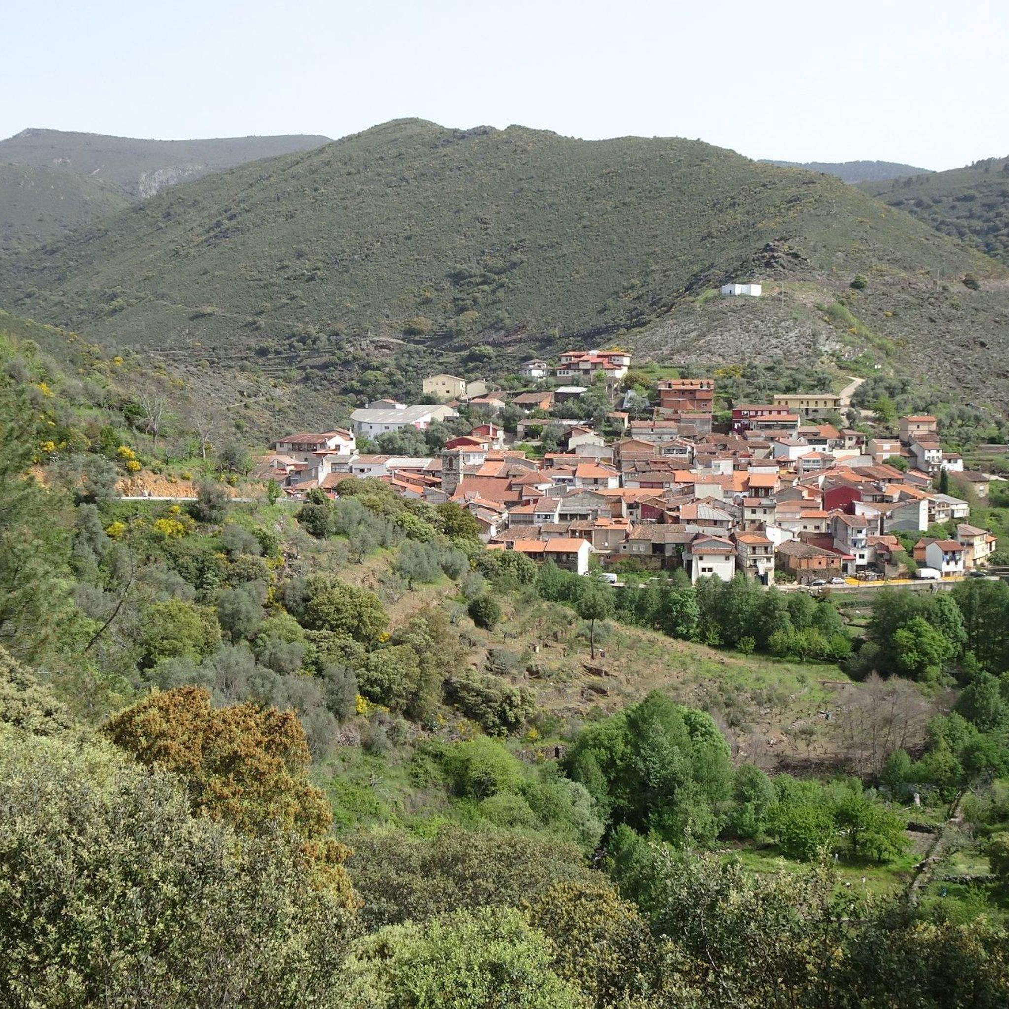
Tips from the Community

What you'll find Exhibition of the traditional olive oil production process using original machinery. Informative panels about the history of olive cultivation in the Sierra de Francia. Audiovisual presentations and testimonials from former workers. Collection of tools (oil cruets, oil lamps, olive presses, olive presses, etc.). Interactive children's area with educational games. Immersive virtual reality experience to learn about the production process.
2
0
The San Esteban Olive Mill, now the Olive Oil Interpretation Center, is one of the newest tourist attractions in the Sierra de Francia region. It occupies a former olive mill that ceased operations in the 1990s and has been restored to showcase the area's olive-growing tradition.
2
0
On the SA-205 highway, just outside San Esteban de la Sierra heading towards Santibáñez de la Sierra, you'll find the entrance to the Sierra Viewpoints Route, which includes several spectacular panoramic viewpoints. Views: The Alagón River Valley and its meanders. The Sierra de Francia mountain range with the Peña de Francia peak in the background. The Sierra de Béjar mountain range and the Las Quilamas Natural Area. This viewpoint is a magnificent natural balcony, perfect for photography and birdwatching (vultures, eagles, black storks).
2
0
Located between the municipalities of Navarredonda de la Rinconada and Escurial de la Sierra, in the Sierra de Francia-Quilamas region. A protected natural area within the Natura 2000 network, with oak and chestnut forests and wildlife such as the golden eagle and griffon vulture.
5
0

It is recommended to visit it before leaving the place.
1
0

From this place you can see San Esteban de la Sierra and the landscapes of the Quilamas Natural Area around it. The road in perfect condition.
2
1

The top of Pico Cervero is located at 1,522 meters above sea level within the wonderful Natural Space of Las Quilamas. The ascent is demanding and depending on where you climb it from, it may have some technical sectors. From Linares de Riofrío you can follow the path through the Honfrías forest, a wonderful and picturesque place.
1
1
Very close to the town of San Esteban de la Sierra and almost next to the road is this panoramic point with the best views of the town and the Quilamas Natural Area.
2
0
Frequently Asked Questions
How many hiking trails are available around Valero?
There are over 30 hiking trails around Valero, offering a variety of experiences. These include routes through wooded areas, mountainous terrain, and hidden valleys, catering to different skill levels.
Are there easy hiking trails suitable for families in Valero?
Yes, Valero offers several easy hiking trails perfect for families. There are 9 easy routes available, allowing for enjoyable walks through the region's natural beauty without significant difficulty.
Can I find circular hiking routes around Valero?
Many trails in the Valero region are circular, providing convenient starting and ending points. For example, the Sendero de las Honfrías - circular from Linares de Riofrío is a popular moderate circular route, and the La Honfría Recreation Area loop from Linares de Riofrío also offers a pleasant circular experience through forested areas.
Are there any trails with waterfalls in the Valero region?
Yes, the Valero region, particularly within the Sierra de Francia and Las Batuecas-Sierra de Francia Natural Park, is known for its rivers and waterfalls. Trails often follow flowing streams and pass by beautiful cascades, such as those along the Bocino River and Milano Creek. The Valle de las Batuecas to Chorro de las Batuecas Trail features a 12-meter waterfall, and the Chorro waterfall in Sierra de Francia is another notable spot.
What kind of natural scenery can I expect while hiking in Valero?
Hikers in Valero can expect diverse natural scenery, including ancient rocky outcrops, terraced cultivation, and forests of oak and chestnut trees. The region features wooded trails, mountainous areas, and hidden valleys, all part of the UNESCO Biosphere Reserve of Las Batuecas-Sierra de Francia Natural Park.
Are there any unique cultural or artistic trails in the area?
Yes, the Sierra de Francia is home to unique 'Caminos de Arte en la Naturaleza' (Nature Art Paths). These circular routes, typically 7-10 km, integrate art installations within the natural landscape, surprising hikers with features like 'cages over the valley' or 'doors in the middle of the countryside.' Examples include the Camino de los Prodigios, Asentadero-Bosque de los Espejos, Camino de las Raíces, and Camino del Agua.
What are some charming villages I can visit while hiking near Valero?
Hiking in Valero offers the opportunity to visit charming traditional villages that retain an ancient look. Notable villages include Mogarraz, known for portraits painted on house walls, Miranda del Castañar, and La Alberca. These often serve as starting points or pass-throughs for trails.
What do other hikers say about the trails in Valero?
The trails around Valero are highly rated by the komoot community, with an average score of 4.4 stars from over 120 reviews. Hikers often praise the varied terrain, the natural beauty of the landscapes, and the well-maintained paths that lead through forests and past scenic viewpoints.
Are there any viewpoints or panoramic spots on the trails?
Yes, the region offers spectacular panoramic views. Hikers can enjoy vistas over the Alagón River, which forms beautiful curves, and breathtaking views from the Santuario De Nuestra Senora De La Pena De Francia, located at the highest point in the area. The Madroñal Viewpoint is another excellent spot for scenic overlooks.
What is the best time of year to go hiking in Valero?
The diverse landscapes of Valero make it suitable for hiking across multiple seasons. Spring and autumn offer pleasant temperatures and vibrant foliage, while summer provides opportunities to enjoy natural swimming pools like the Piscina Natural De Valero. Winter can also be beautiful, though some higher trails might require more preparation.
Are there any challenging hikes for experienced trekkers?
Yes, for experienced trekkers seeking a challenge, Valero offers difficult routes. An example is the Balcon de Pilatos via the Trasiegos Path, a 6.0-mile (9.6 km) difficult path in the Quilamas Natural Space, offering rewarding views. Another challenging option is the Cervero Peak loop from Linares de Riofrío, which includes a significant elevation gain.
Can I bring my dog on the hiking trails in Valero?
Many natural areas in Spain, including parts of the Sierra de Francia, are generally dog-friendly, especially on marked trails. However, it's always recommended to keep dogs on a leash, especially in natural parks or near wildlife, and to check specific regulations for individual trails or protected areas within Las Batuecas-Sierra de Francia Natural Park.
What are some notable natural monuments or landmarks to see?
The Valero area is rich in natural monuments and landmarks. You can explore Cervero Peak, visit the serene San Marcos Lagoon, or discover the historic Caño Cachope Fountain. There's also a Spring on the Camino Mulero to Valero, offering a refreshing stop.
Most popular attractions around Valero

Get inspired with the komoot mobile app


Explore more
Browse the best Hikes in other regions.
