The best walks and hikes around Ketscher Rheininsel
4.5
(3946)
22,824
hikers
1,082
hikes
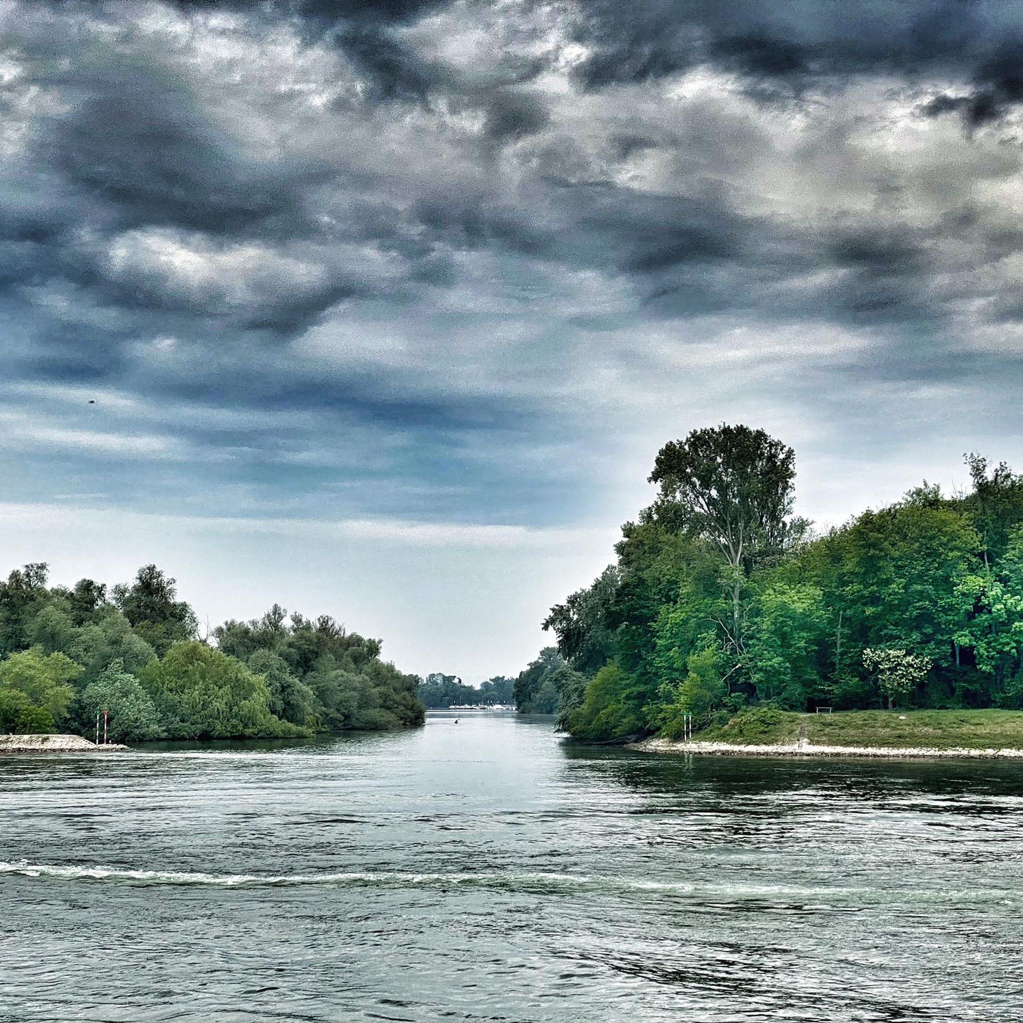
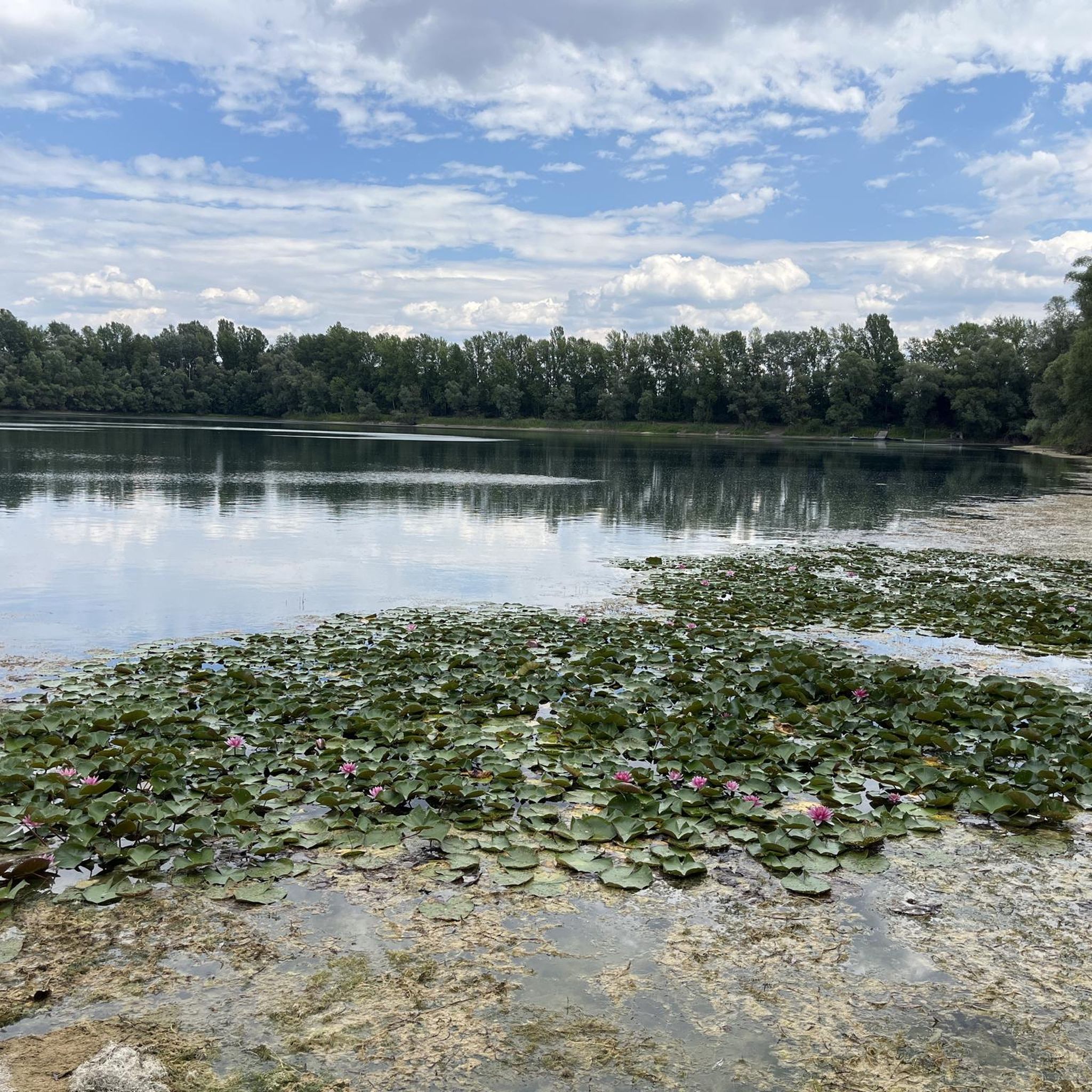
Hiking around Ketscher Rheininsel offers trails through a distinctive riverine landscape. This region, situated along the Rhine, is characterized by its flat terrain, riparian forests, and the Altrhein (old Rhine) arms, which create a network of wetlands and meadows. The area provides a natural habitat for diverse wildlife, making it suitable for nature observation.
Best hiking trails around Ketscher Rheininsel
- The most popular hiking route is Riverside Path Along the Rhine loop from Ketsch, a 6.7 miles (10.8 km)…
Last updated: July 4, 2026
4.7
(381)
1,324
hikers
Moderate hike. Good fitness required. Easily-accessible paths. Suitable for all skill levels.
4.5
(40)
142
hikers
Easy hike. Great for any fitness level. Easily-accessible paths. Suitable for all skill levels.

Sign up for free
4.5
(52)
178
hikers
Easy hike. Great for any fitness level. Easily-accessible paths. Suitable for all skill levels.
4.7
(37)
128
hikers
6.02km
01:31
10m
10m
Easy hike. Great for any fitness level. Easily-accessible paths. Suitable for all skill levels.
4.7
(45)
169
hikers
Moderate hike. Good fitness required. Easily-accessible paths. Suitable for all skill levels.
Get access to more routes and recommendations from other explorers.
Sign up for free
Already have an account?
Our route recommendations are based on thousands of hikes, rides, and runs completed by other people on komoot.
Start today with a free account
Your next adventure awaits.
Login or Signup

Other adventures around Ketscher Rheininsel

Tips from the Community

Sitting on the bench, you can also look towards the path. Very far, even in rainy weather.
0
0

The Koller ferry connects Brühl with Koller Island and operates from March to October. It runs daily except Mondays and Tuesdays – and also on these days during the summer holidays. The ferry operates on-demand between 10 a.m. and 7:30 p.m. (depending on the season) and is especially popular with cyclists and day-trippers. Fares are moderate: pedestrians pay €1, cyclists €1.50, and cars €4.50. A charming way to cross the Rhine and reach Koller Island in a relaxed manner.
7
0
Open from Thursday to Sunday from 11am with hot meals served throughout.
5
0
If you walk along the dam, you will come across a bench with a fantastic view over the nature reserve and the island – perfect for a short break.
5
0
The dam path runs along the Old Rhine and forms a large part of the circular trail across Koller Island. It is easy to walk, largely paved, and offers several kilometers of unobstructed views of the nature reserve, Lake Koller, and the Otterstadt Old Rhine.
6
0
If you follow the dam path, you will reach a bench that invites you to take a relaxing break with its wide view over the nature reserve and the Koller Island.
7
0
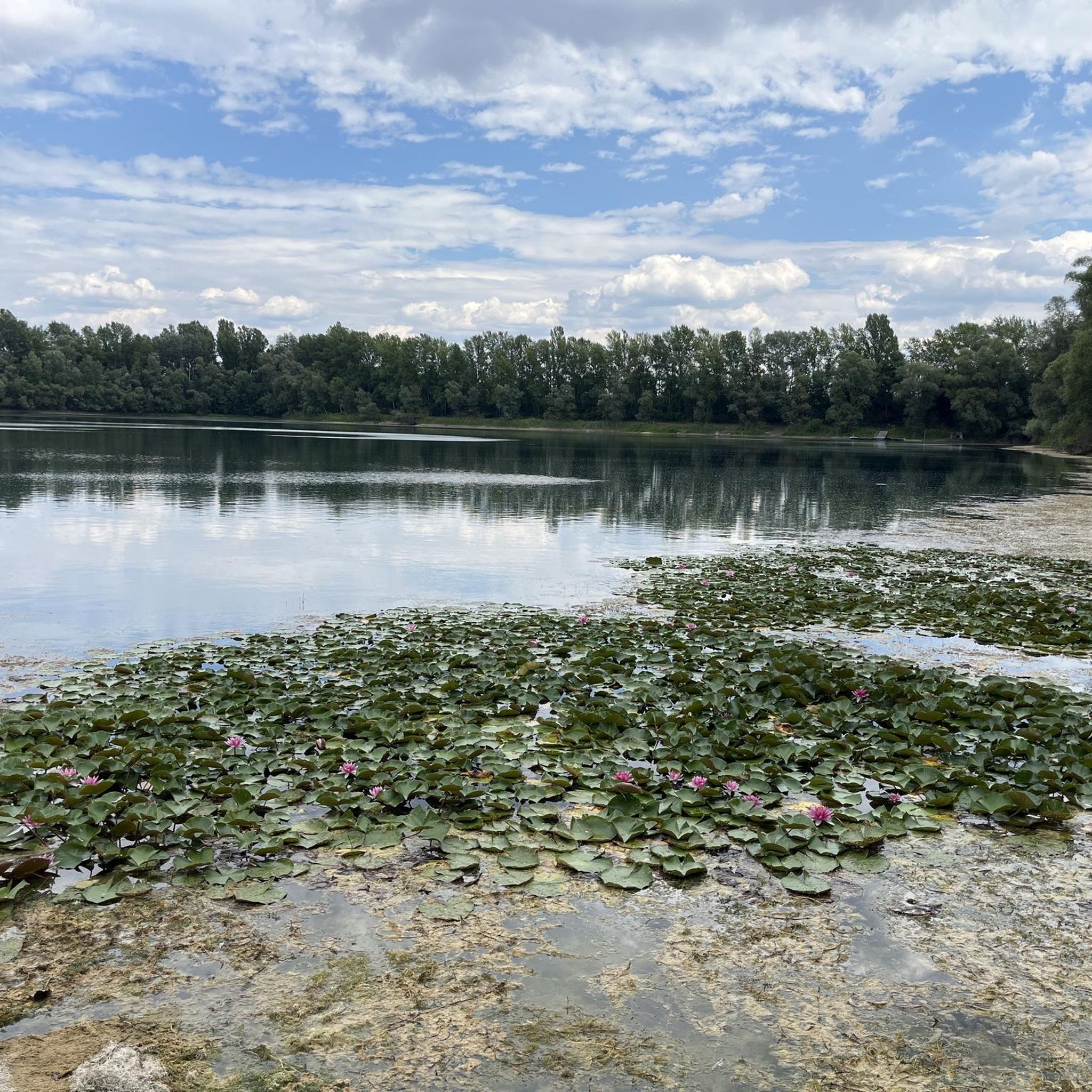
With a long sandy beach, extremely clear water, and a quiet, natural environment, it's simply a wonderful place to unwind.
9
0
The lake is ideal for swimming, sailing, and relaxing in the summer. There's a sandy beach, which is also popular with nudists, as well as lawns for sunbathing and picnicking. The water quality is regularly monitored. There are no amenities such as changing rooms or restrooms, so the focus here is on pure nature.
7
0
Frequently Asked Questions
How many hiking trails are available in Ketscher Rheininsel?
Ketscher Rheininsel offers a wide selection of hiking opportunities, with over 1000 trails recorded on komoot. The majority of these, more than 800, are classified as easy, making the area very accessible for various fitness levels.
Are there easy hiking trails suitable for beginners or families?
Yes, Ketscher Rheininsel is ideal for easy hikes and family outings. Over 800 of the available routes are rated as easy, featuring flat terrain through riparian forests and along the Altrhein. An excellent option is the Turtles at Anglersee Brühl – Leimbach Stream loop from Brühl, an easy 2.9-mile path that winds through a tranquil landscape.
Can I bring my dog on the trails in Ketscher Rheininsel?
Yes, Ketscher Rheininsel is generally dog-friendly. The flat, natural paths through forests and along the riverbanks provide a great environment for walks with your dog. Please ensure your dog is kept on a leash, especially in areas with wildlife or near other hikers, and always clean up after your pet.
What kind of wildlife can I expect to see while hiking?
The Ketscher Rheininsel is a natural habitat for diverse wildlife, particularly birds and aquatic species due to its wetlands and Altrhein arms. Keep an eye out for various bird species, small mammals, and potentially turtles near bodies of water like the Anglersee.
Are there any interesting landmarks or attractions to see along the trails?
Yes, the area features several points of interest. You can explore the Old Rhine Bridge to Ketsch Rhine Island, visit the Ketsch Rhine Island itself, or observe the Historical Flood Level Marker. For those interested in local history, the St. Sebastian's Church in Ketsch is also nearby.
Are there circular hiking routes in Ketscher Rheininsel?
Yes, many of the trails in Ketscher Rheininsel are designed as circular routes, allowing you to start and end at the same point. A popular option is the Ketscher Altrhein loop from Ketsch, a 3.7-mile trail leading through the wetlands.
Where can I find parking for hiking in Ketscher Rheininsel?
Parking is generally available at various access points around Ketscher Rheininsel, particularly near the towns of Ketsch and Brühl. Look for designated parking areas close to trailheads or public facilities. Specific parking details are often provided on individual route pages on komoot.
How can I reach Ketscher Rheininsel by public transport?
Ketscher Rheininsel is accessible via public transport, primarily through bus connections to Ketsch and Brühl. From these towns, you can often reach the main hiking areas on foot. It's advisable to check local bus schedules for the most current information on routes and timings.
What is the typical duration of hikes in Ketscher Rheininsel?
Hikes in Ketscher Rheininsel vary in duration, but many popular routes are designed for shorter excursions. For instance, the Straightening of the Rhine at Ketsch loop from Ketsch is about 3 miles and takes around 1 hour 15 minutes, while the Riverside Path Along the Rhine loop from Ketsch is 6.7 miles and typically takes 2 hours 45 minutes.
What do other hikers enjoy most about Ketscher Rheininsel?
The Ketscher Rheininsel is highly rated by the komoot community, with an average score of 4.5 stars from over 3,800 reviews. Hikers frequently praise the tranquil riverine landscape, the well-maintained paths, and the opportunities for nature observation. The flat terrain is often highlighted as a positive for relaxed walks.
Are there viewpoints along the hiking routes?
While Ketscher Rheininsel is characterized by its flat terrain, many routes offer open views of the Rhine River and the surrounding natural landscape. The Riverside Path Along the Rhine loop from Ketsch, for example, provides continuous scenic vistas of the river.
Are there any wheelchair-accessible paths?
Due to the flat nature of the terrain, some paths in Ketscher Rheininsel may be suitable for wheelchairs, particularly those that are paved or well-compacted. However, specific accessibility information for each trail should be checked on individual route pages on komoot, as conditions can vary.
Most popular routes around Ketscher Rheininsel
Most popular attractions around Ketscher Rheininsel

Get inspired with the komoot mobile app


Explore more
Browse the best Hikes in other regions.
