The best MTB trails around Palomero
4.5
(9)
159
riders
18
rides
Mountain biking around Palomero offers diverse landscapes within the Serranía de Cuenca region of Spain. The area is characterized by impressive gorges carved by the Huécar and Júcar rivers, featuring unique karstic formations and significant elevation changes. Riders can expect a mix of challenging terrains, including singletrack with technical sections, through extensive forests of Scots pine and ancient junipers. This geological diversity provides varied mountain bike trails suitable for different skill levels.
Best mountain bike trails around Palomero
- The most…
Last updated: July 11, 2026
33
riders
56.1km
05:30
1,410m
1,410m
Hard mountain bike ride. Very good fitness required. Suitable for all skill levels.
25
riders
69.5km
07:27
1,990m
1,990m
Hard mountain bike ride. Very good fitness required. Suitable for all skill levels.

Sign up for free
25
riders
78.0km
07:00
1,870m
1,870m
Hard mountain bike ride. Very good fitness required. Suitable for all skill levels.
5.0
(1)
11
riders
55.1km
04:54
1,360m
1,360m
Hard mountain bike ride. Very good fitness required. Suitable for all skill levels.
5.0
(2)
8
riders
38.2km
03:16
750m
750m
Moderate mountain bike ride. Good fitness required. Suitable for all skill levels.
Get access to more routes and recommendations from other explorers.
Sign up for free
Already have an account?
Our route recommendations are based on thousands of hikes, rides, and runs completed by other people on komoot.
Start today with a free account
Your next adventure awaits.
Login or Signup
Popular around Palomero
Tips from the Community

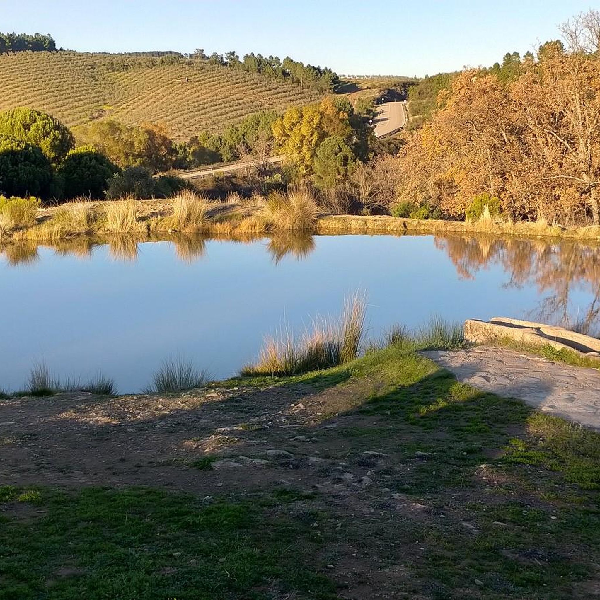
The Las Hurdes natural pools are a true paradise for those who enjoy bathing in natural surroundings. The Cruce de Avellanar Natural Pool is located on the CC-156 road that leads to Horcajo and Castillo, near the turnoff to Avellanar. This pool is distinguished by its serene location next to the Esperabán River, offering a refreshing escape in the crystal-clear waters of the river. The area around the pool has plenty of shade thanks to the surrounding vegetation and does not have a beach bar.
0
0
The Esperabán pass is a mountain pass in the interior of the Iberian Peninsula, located in the Central System. The route that crosses it connects the Spanish provinces of Cáceres and Salamanca. This pass, which divides the provinces of Cáceres and Salamanca, is located at an altitude of 1,295 m. Access to the pass is paved and in good condition. The pass runs along the road that connects the town of Pinofranqueado with the farmhouses located on the banks of the Esperabán River. The last 7 km, with an average gradient of 8%, run along a perfectly paved forest track that was once used for transporting wood. The end of the asphalt, at 1,285 m above sea level, is just a few meters from the summit that gives the pass its name. We can climb to the highest point with MTB or gravel without problems.
0
0
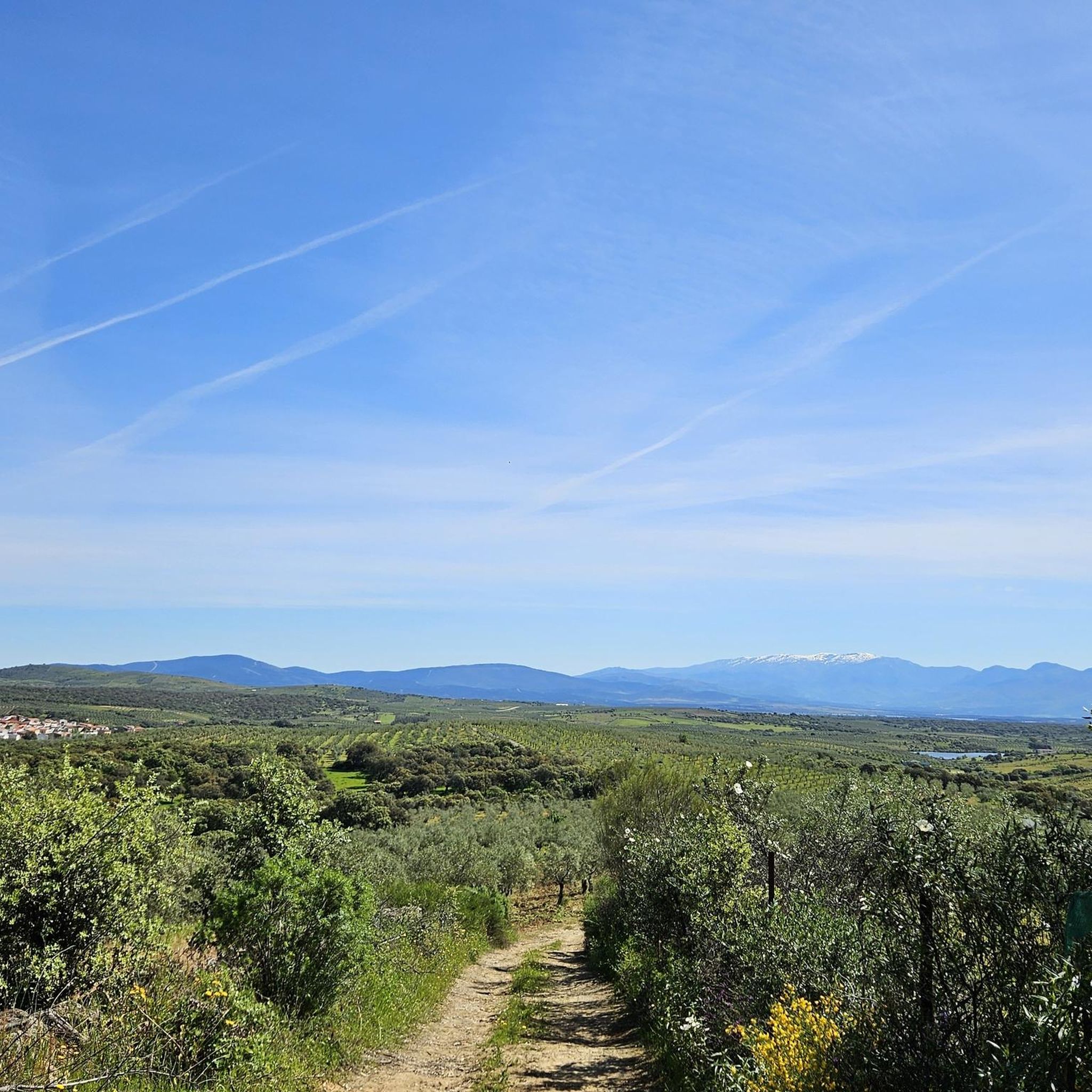
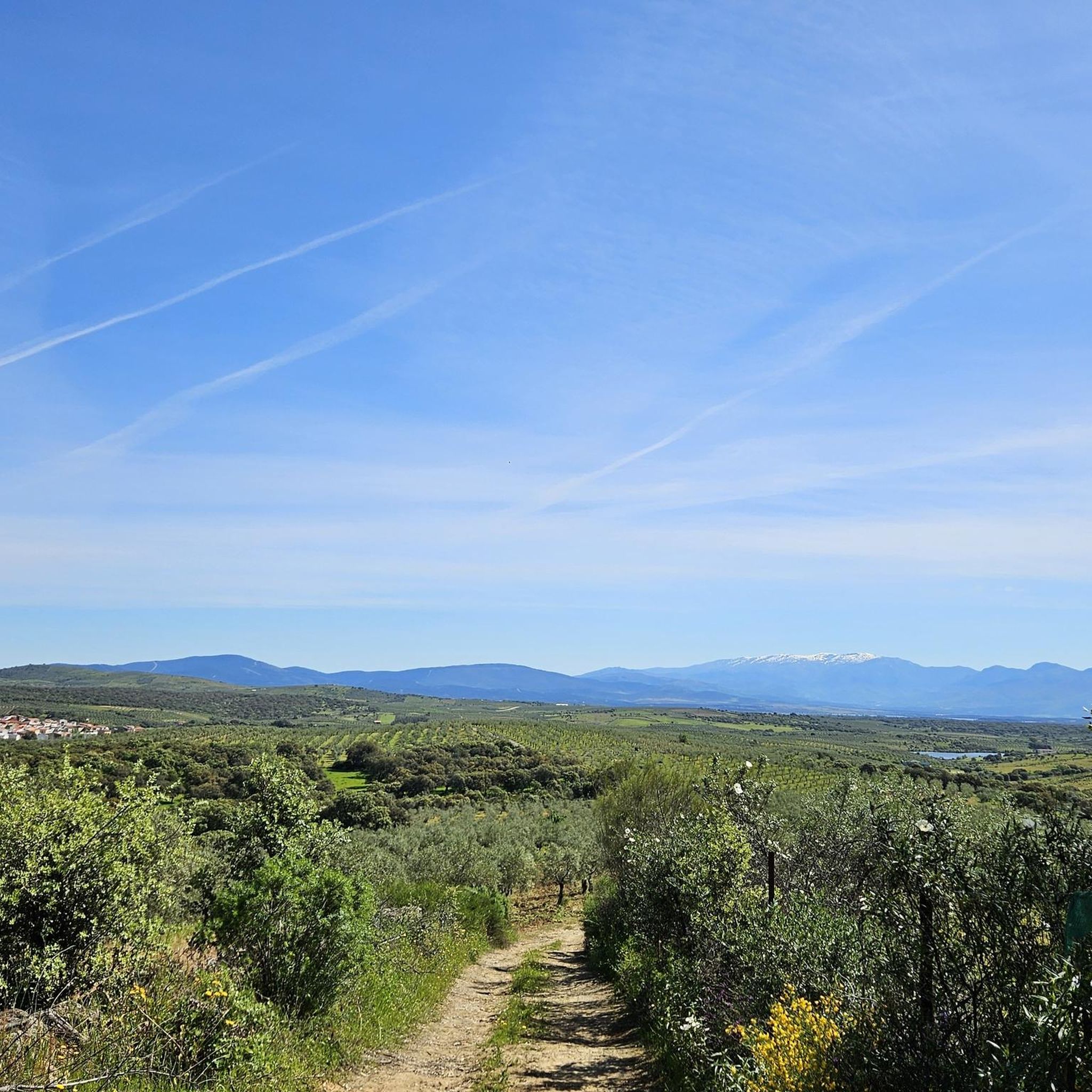
Panoramic track in very good condition and very rolling that runs through the mountains of the Esperabán valley.
0
0
A hill that serves as a connection, together with the Riscosillo Pass, with the northern slope of the Sierra de las Hurdes.
0
0
Hill where the Pimpollar trail begins and from which you can descend to the northern slope of the mountain range.
0
0
From several points on this track you will have unique views of the mountains of the Sierra de Francia, in the province of Salamanca in Castilla y León, you can even see the Peña de Francia.
0
0
A very tough climb from Cambrón to Collada de la Genera. Several kilometres with gradients between 12% and 16%. The views as you climb are spectacular and up on the ridge you can see the Sierra de Francia.
0
0

Pinofranqueado is a municipality in the Las Hurdes region, in the province of Cáceres, Community of Extremadura. It is famous for a festival called La Enramá, in which young men and women from the town temporarily pair up to facilitate future courtships. Pinofraqueado is made up of a main nucleus and ten farmhouses. The farmhouses arose from the houses built by the shepherds of the area.
1
0
Frequently Asked Questions
How many mountain bike trails are there around Palomero?
There are over 15 mountain bike trails around Palomero, offering a variety of experiences. The region features 10 moderate and 7 difficult routes, catering to different skill levels.
What kind of terrain can I expect on mountain bike trails around Palomero?
Mountain biking around Palomero offers diverse landscapes, from dramatic river gorges carved by the Huécar and Júcar rivers to extensive forests of Scots pine and ancient junipers. You can expect significant elevation changes and technical sections, including singletrack with features like berms, drops, jumps, and rock gardens, especially on more challenging routes.
Are there any family-friendly mountain bike trails in Palomero?
While many trails in Palomero are moderate to difficult, the region's diverse terrain means there are options for various skill levels. For families, it's best to look for routes described as moderate, focusing on less technical sections and lower elevation gains. Always check the specific route details on komoot for suitability.
Can I bring my dog on the mountain bike trails in Palomero?
Generally, dogs are allowed on many outdoor trails in Spain, especially in natural park areas like the Serranía de Cuenca. However, it's always recommended to keep them on a leash, especially in protected areas or near wildlife. Check local signage or specific route descriptions for any restrictions.
What natural features or landmarks can I see while mountain biking in Palomero?
The area is rich in natural beauty and historical sites. You can explore the impressive Hoces del Huécar and Júcar Gorges, with their unique karstic landscapes. Highlights include Pico de Dios Padre and the scenic Pico Blanco Viewpoint. You might also encounter traditional 17th-century Molinos de Papel (Paper Mills) in the Huécar gorge.
Are there any circular mountain bike routes available?
Yes, many mountain bike routes around Palomero are designed as loops. For example, the difficult route Views of the Sierra de Francia – Collada de la Genera loop from Casar de Palomero offers panoramic views, while Collado de Riscosillo – Collada de la Genera loop from Casar de Palomero provides a challenging ride through varied terrain.
What is the best time of year to go mountain biking in Palomero?
The spring and autumn months generally offer the most pleasant weather for mountain biking in Palomero, with milder temperatures. Summers can be hot, making early morning or late afternoon rides preferable. Winters are cooler, but trails can still be ridden, though some higher elevation areas might experience colder conditions.
Where can I park when visiting the mountain bike trails?
Parking availability varies by trailhead. Many routes start from towns or villages like Casar de Palomero or Caminomorisco, where public parking might be available. It's advisable to check the starting point of your chosen route on komoot for specific parking information or local recommendations.
Is public transport available to reach the mountain bike trails in Palomero?
Public transport options directly to specific trailheads in rural areas like Palomero can be limited. The city of Cuenca, a short distance away, has more extensive transport links. From there, local buses or taxis might connect to smaller towns near trail starting points. Planning ahead is recommended.
Are there any specific permits required for mountain biking in Palomero?
Generally, no specific permits are required for mountain biking on established trails in the Palomero area. However, as parts of the region fall within the Serranía de Cuenca Natural Park, always respect park regulations, stay on marked trails, and practice Leave No Trace principles.
What do other mountain bikers say about the trails in Palomero?
The mountain bike trails around Palomero are highly rated by the komoot community, with an average score of 4.6 stars from more than 10 reviews. Riders often praise the dramatic river gorges, extensive pine forests, and the challenging nature of the routes, which offer significant elevation changes and technical sections.
Are there any natural pools or swimming spots accessible from the trails?
Yes, the region is known for its refreshing natural pools. Las Pozas de Palomera, located about 2 km from the town, are famous for their crystal-clear, turquoise waters. Some routes, like the Castillo Natural Pool – Pinofranqueado Town Center loop from Caminomorisco, even pass by specific natural pools, offering a great spot to cool off.
Are there any routes that offer significant elevation challenges?
Absolutely. The mountain bike trails around Palomero are known for their substantial elevation gains. For instance, the difficult route Collada de la Genera – Views of the Sierra de Francia loop from Caminomorisco features over 2100 meters of ascent, providing a demanding workout and rewarding views.
What are some moderate mountain bike trails in the area?
While many routes are challenging, there are moderate options available. These trails typically cover distances of around 30-40 km with elevation gains between 400-600 meters, offering a good balance of effort and enjoyment without the most extreme technical sections. Always check individual route descriptions for precise difficulty ratings.
Where can I find accommodation near the mountain bike trails in Palomero?
Palomero itself has a medieval charm with some local guesthouses. Nearby towns and villages, including Casar de Palomero and Caminomorisco, also offer accommodation options. For a wider selection, the city of Cuenca, a UNESCO World Heritage site, is a short drive away and provides various hotels and rural stays.
Most popular routes around Palomero
Most popular attractions around Palomero

Get inspired with the komoot mobile app


Explore more
Browse the best MTB trails in other regions.
