The best walks and hikes around San Miguel Del Robledo
4.6
(266)
1,511
hikers
68
hikes
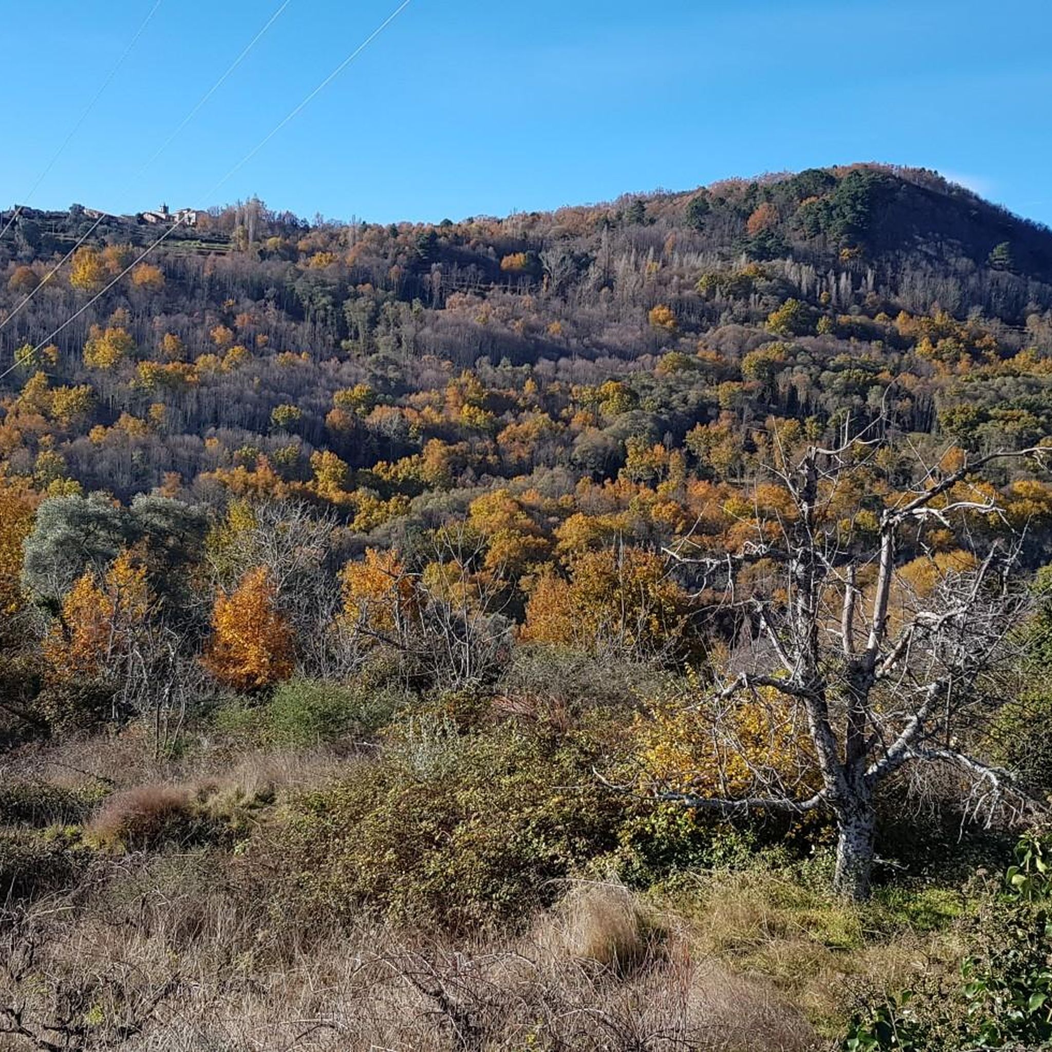
Hiking around San Miguel Del Robledo offers access to diverse natural landscapes in the Sierra de Quilama, situated between the Sierra de Béjar y Candelario and the Sierra de Francia. The region features dense forests of oak and chestnut trees, extensive orchards, and mountainous terrain with river valleys. Hikers can explore various elevations, from valley floors to higher points like Pico Codorro and Monte Alcón.
Best hiking trails around San Miguel Del Robledo
- The most popular hiking route is Water…
Last updated: July 9, 2026
4.7
(48)
260
hikers
6.73km
02:04
240m
240m
Hike the moderate Camino del Agua circular trail from Mogarraz, exploring art in nature, forests, and charming villages in Sierra de Francia
4.7
(23)
138
hikers
11.1km
03:27
370m
380m
Hike the moderate 6.9-mile Asentadero-Bosque de los Espejos Trail, a scenic route through forests with unique Land Art installations.

Sign up for free
4.9
(20)
123
hikers
9.32km
02:56
330m
330m
Moderate hike. Good fitness required. Mostly accessible paths. Sure-footedness required.
4.8
(6)
17
hikers
8.18km
02:38
330m
330m
Moderate hike. Good fitness required. Mostly accessible paths. Sure-footedness required.
4.0
(1)
9
hikers
9.38km
02:47
280m
280m
Moderate hike. Good fitness required. Easily-accessible paths. Suitable for all skill levels.
Get access to more routes and recommendations from other explorers.
Sign up for free
Already have an account?
Our route recommendations are based on thousands of hikes, rides, and runs completed by other people on komoot.
Start today with a free account
Your next adventure awaits.
Login or Signup


Tips from the Community

Still in use this bullfighting arena, look for the lever in the stands with which the bullring door opens. Remarkable are the narrow escape gaps for very thin bullfighters😀
7
0
Nice walk around, impressive cemetery, the tower was closed, but the castle is usually open.
8
0
The name of the city refers to the repopulation efforts of Gascons who reached the Sierra de Francia in the Middle Ages. Names, place names and patron saints from that time can still be found in the villages of the region.
8
0

The Plaza Mayor of Mogarraz is the heart of the village and one of its most picturesque spots. Oval shape: Unlike other Castilian squares, Mogarraz's has an irregular, enclosed shape, surrounded by traditional mountain houses with timber framing and stone walls. Traditional architecture: Flower-filled balconies, arcades, and facades adorned with the famous portraits from the "Faces of Mogarraz" art project. Social and historical center: Formerly used for markets and popular celebrations, today it serves as a meeting point for visitors and locals alike. Highlights: Central fountain. Views of the church and cobbled streets leading from the square. Restaurants and bars with terraces where you can sample the local mountain cuisine.
1
0
What to see in Mogarraz The Faces of Mogarraz More than 800 portraits painted on the facades, the work of artist Florencio Maíllo, who transformed the village into an open-air museum. This initiative originated from photos taken in the 1960s for residents' national identity cards. Main Square The central oval-shaped square, surrounded by traditional mountain houses with timber framing and stone walls. Church of Our Lady of the Snows A Renaissance-style church, built between the 16th and 17th centuries. Bell Tower An old defensive tower, separate from the church, used as a watchtower in the Middle Ages. Ethnographic Museum – House of Crafts Exhibits traditional crafts such as embroidery, shoemaking, and goldsmithing.
2
0
Founded during the 12th-century repopulation of León by Alfonso IX, within the district of Miranda del Castañar. Declared a Historic-Artistic Site in 1998 and a member of the network of the Most Beautiful Villages of Spain. Its mountain architecture combines stone, wood, and adobe, with flower-adorned balconies and heraldic details.
2
0

Declared a Historic-Artistic Site in 1998, the town of Mogarraz offers visitors a network of narrow streets and passageways dotted with coats of arms belonging to ancient lineages and even to the dreaded Inquisition, original lintels with religious engravings, crosses, and fountains. But what really catches the eye is the exhibition of portraits adorning the facades of the houses where the locals portrayed lived.
1
0

I went in winter to eat there were two bars, one in the square and a hotel. BUT BE CAREFUL AT NIGHT YOU WON'T FIND ANYTHING OPEN. You can stay without dinner
1
0
Frequently Asked Questions
How many hiking trails are available around San Miguel Del Robledo?
There are over 50 hiking routes around San Miguel Del Robledo. These include 14 easy trails, 29 moderate trails, and 9 difficult trails, offering options for various fitness levels.
What kind of natural features can I expect to see while hiking in this region?
The region is rich in natural beauty, characterized by dense forests of oak and chestnut trees, extensive orchards with olive trees and vineyards, and mountainous terrain. You'll also find river valleys carved by the Francia river, and panoramic views of the Sierra de Candelario and Béjar from higher points like Pico Codorro and Monte Alcón.
Are there any family-friendly hiking options in San Miguel Del Robledo?
Yes, there are several family-friendly options. Many of the 14 easy trails are suitable for families. For example, the Water Trail is a moderate 6.7 km route that follows a river, offering varied scenery without excessive difficulty.
Can I bring my dog on the hiking trails around San Miguel Del Robledo?
While specific regulations for dogs on trails can vary, the natural environment of San Miguel Del Robledo, with its forests and open spaces, generally welcomes well-behaved dogs on leash. Always ensure to respect local signage and clean up after your pet. Many trails, especially those through forests and orchards, are suitable for walks with dogs.
Are there any circular hiking routes available?
Yes, many routes in the area are circular. For instance, the Mogarraz – Mogarraz Main Square loop from Miranda del Castañar is an 13.8 km circular trail through forested areas and traditional villages. Another option is the Mogarraz Main Square – Mogarraz loop from Mogarraz, which is 9.3 km.
What are some interesting landmarks or places to explore near the hiking trails?
Beyond the natural landscapes, you can explore several charming settlements and historical sites. Consider visiting Mogarraz or Miranda del Castañar, both traditional villages. The Mogarraz Main Square and La Alberca Main Square are also notable. For a unique experience, the Asentadero-Bosque de los Espejos Trail features Land Art installations integrated into the forest.
What is the best time of year to go hiking in San Miguel Del Robledo?
The region offers pleasant hiking conditions for much of the year. Autumn is particularly recommended for birdwatching, with species like the striped kinglet, hooded tit, and various vultures. Spring and early summer also provide lush landscapes and comfortable temperatures. Winters can be cooler, especially at higher elevations, but still offer opportunities for hiking.
Are there any challenging hikes for experienced trekkers?
Yes, for those seeking more challenge, there are 9 difficult trails in the area. Routes like the 'Subida Buitrera' lead to higher elevations such as Pico Codorro and Monte Alcón (or Pico de la Mina), offering rewarding views and more strenuous ascents.
What do other hikers say about the trails in San Miguel Del Robledo?
The hiking routes in San Miguel Del Robledo are highly rated by the komoot community, with an average score of 4.5 stars from over 190 reviews. Hikers often praise the diverse terrain, the beauty of the dense forests and orchards, and the well-maintained paths that cater to various skill levels.
Is public transport available to reach the hiking areas around San Miguel Del Robledo?
While San Miguel Del Robledo is a smaller village, public transport options to the broader Sierra de Francia region exist, though they might be limited. It's advisable to check local bus schedules from larger towns in Salamanca province if you plan to rely on public transport. Many hikers prefer to arrive by car for greater flexibility in accessing trailheads.
Where can I find parking for hiking trails in San Miguel Del Robledo?
Parking is generally available within or near the village of San Miguel Del Robledo. For specific trailheads, parking areas are often designated, especially for popular routes. It's recommended to check the starting points of individual routes on komoot for detailed information on parking availability.
Most popular attractions around San Miguel Del Robledo

Get inspired with the komoot mobile app


Explore more
Browse the best Hikes in other regions.
