The best walks and hikes around Haza
4.7
(8)
89
hikers
39
hikes
Hiking around Haza offers exploration of a landscape shaped by river valleys and agricultural plains in the Ribera del Duero region. The terrain features gentle undulations, with routes often following waterways like the Riaza River and passing through areas of wetlands. Hikers can expect a mix of open fields, riverside paths, and occasional wooded sections, providing varied scenery.
Best hiking trails around Haza
- The most popular hiking route is Rio Riaza y Castillo de Torregalindo — circular by Milagros, a 7.6 miles (12.3 km) trail that takes 3 hours 9 minutes to complete. This moderate circular route follows the Riaza River, passing by Torregalindo Castle.
- Another top favourite among local hikers is Home and its castle - circular along the Riaza riverbank, a moderate 9.8 miles (15.8 km) path. This route follows the Riaza riverbank, offering views of a local castle.
- Local hikers also love the Humedales del Carrascal — circular from Villalba de Duero, a 6.6 miles (10.6 km) trail leading through wetlands and agricultural areas, often completed in about 2 hours 41 minutes.
- Hiking around Haza is defined by river valleys, wetlands, and agricultural landscapes. The network offers options for different ability levels, from easy walks to more challenging moderate trails.
- The routes in Haza are highly rated by the komoot community with an average score of 4.7 stars from 8 reviews. More than 90 hikers have used komoot to explore Haza's varied terrain.
Last updated: May 20, 2026
4.0
(1)
5
hikers
12.3km
03:09
40m
40m
Hike the moderate 7.7-mile Riberas del Riaza Trail, exploring river gorges, forests, and spotting griffon vultures in Segovia.
5.0
(1)
3
hikers
15.8km
04:11
150m
150m
Moderate hike. Good fitness required. Easily-accessible paths. Suitable for all skill levels.

Sign up for free
1
hikers
10.6km
02:41
20m
20m
Moderate hike. Good fitness required. Easily-accessible paths. Suitable for all skill levels.
1
hikers
5.74km
01:35
100m
100m
Easy hike. Great for any fitness level. Easily-accessible paths. Suitable for all skill levels.
2
hikers
15.1km
04:08
230m
230m
Moderate hike. Good fitness required. Easily-accessible paths. Suitable for all skill levels.
Get access to more routes and recommendations from other explorers.
Sign up for free
Already have an account?
Our route recommendations are based on thousands of hikes, rides, and runs completed by other people on komoot.
Start today with a free account
Your next adventure awaits.
Login or Signup
Tips from the Community


Nice area for outdoor activities.
0
0

Next to a meadow with tables, several barbecues and a shelter to shelter from the rain, we find the Aguacae waterfall next to a fountain (it does not always carry water).
2
0
Town of Burgos that was repopulated in the 10th century due to its location next to the Duero River, in the Riaza basin. In the area called "La Peña", marine fossils can be found, evidencing that all these lands were covered millions and millions of years ago by a sea.
2
0

Located in the northeast of Segovia, 110 km from Segovia. On the slopes of the area there are many wineries and presses that have always provided abundant wine. It is also worth trying the lamb meat that is produced in the area.
10
0

The Humedales del Carrascal were once an extractive area for materials, where the same company undertook to restore the space to make it a wet naturalized area and where currently, you can see a great diversity of animals.
1
0
Fuentecén (comes from "source" and "cen", in Latin cen is the diminutive of centum which means: hundred, many and many. Fuentecen meaning the many sources that flow in its term. The Church is characterized by the angel that appears to the top of the bell tower.
2
0
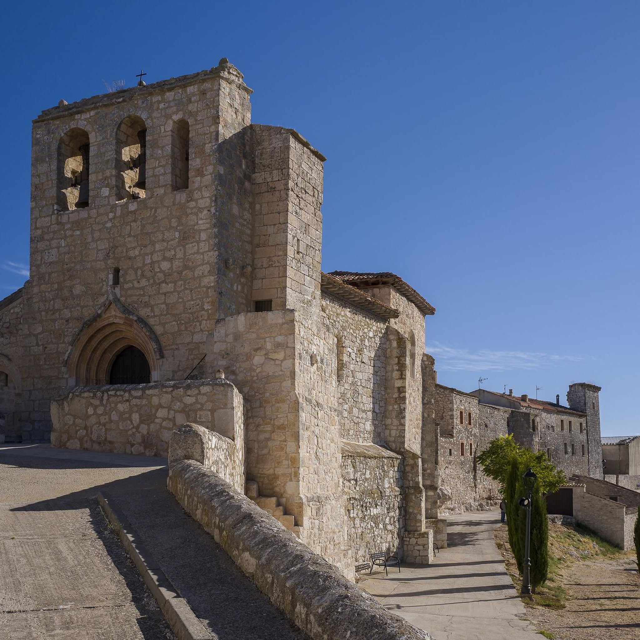
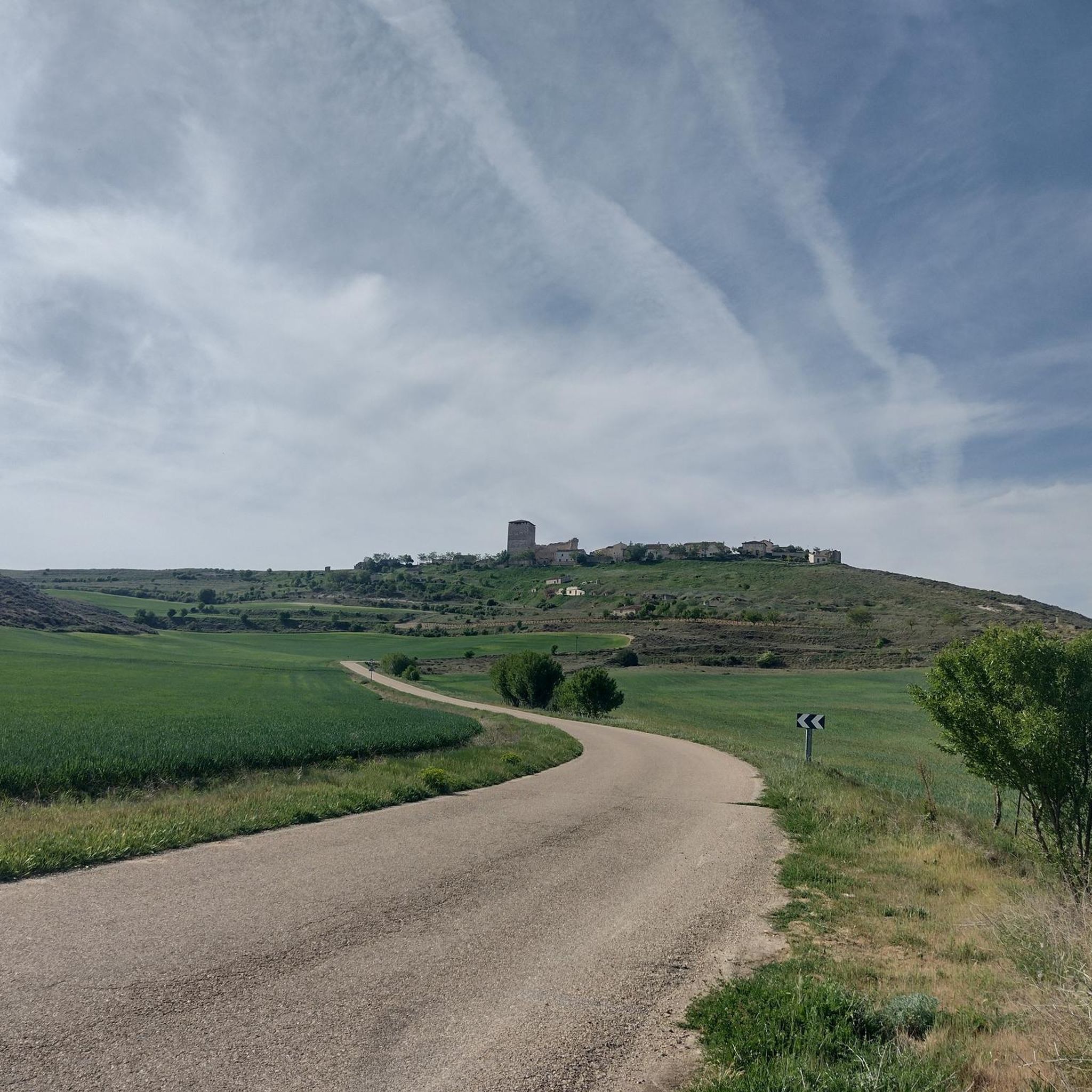
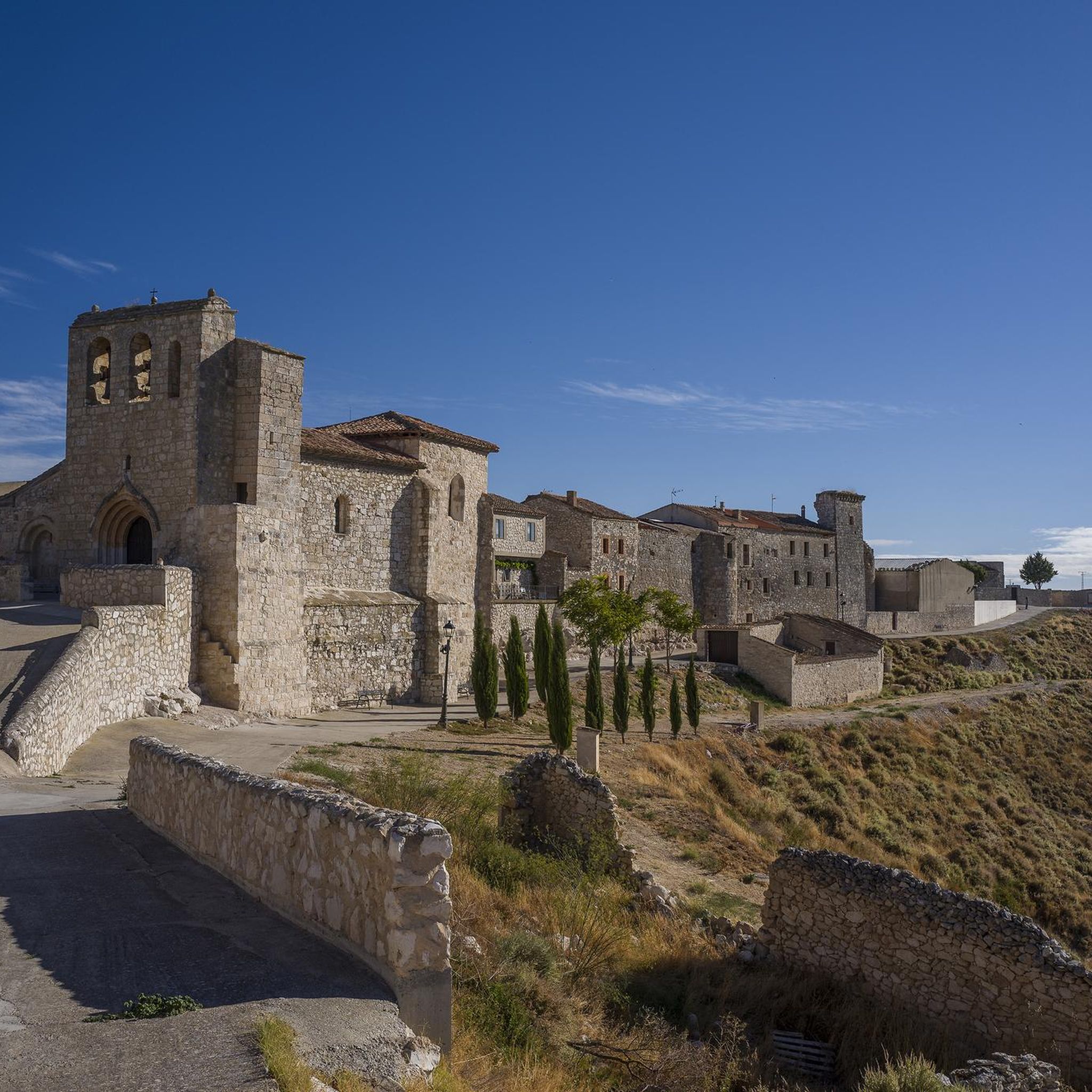
From the valley of the Riaza River you can see the nucleus of Haza at the top of the slope that has formed the depression of the same river. The views are beautiful!
1
0
Frequently Asked Questions
How many hiking trails are available around Haza?
There are over 40 hiking routes available around Haza, offering a diverse range of experiences. You'll find options suitable for various fitness levels, from easy strolls to more moderate challenges.
What kind of terrain can I expect on hikes around Haza?
Hikes around Haza primarily feature landscapes shaped by river valleys and agricultural plains within the Ribera del Duero region. The terrain includes gentle undulations, riverside paths along waterways like the Riaza River, open fields, and occasional wooded sections. You can expect varied scenery throughout your walks.
Are there any easy hiking trails suitable for beginners or families in Haza?
Yes, Haza offers 15 easy hiking trails perfect for beginners or families. These routes typically have gentle terrain and shorter distances. One example is the Sendero del Arroyo de la Serrezuela — circular desde Aldehorno, which is just under 6 km long.
Can I find circular hiking routes in Haza?
Absolutely. Many of the trails around Haza are circular, allowing you to start and end at the same point. Popular options include Rio Riaza y Castillo de Torregalindo — circular by Milagros and Humedales del Carrascal — circular from Villalba de Duero, which takes you through wetlands.
What are some notable landmarks or attractions I can see while hiking in Haza?
The Haza area is rich in historical and natural points of interest. You can explore the historic Haza and its castle, or discover the Church of Santa María la Real of Aranda de Duero. Other highlights include the Aranda Bridge and the Medieval Bridge of the Tanneries.
Are there any challenging hikes around Haza?
While most trails are easy to moderate, there is one designated difficult route among the 42 available hikes. For a moderate challenge, consider the Senda del Aguacae (PRC-BU-160) — circular desde Fuentenebro, which covers over 15 km with more significant elevation changes.
What is the best time of year to go hiking in Haza?
Given the region's agricultural plains and river valleys, spring and autumn generally offer the most pleasant hiking conditions with mild temperatures and beautiful scenery. However, many trails are accessible year-round, with summer being warmer and winter potentially cooler.
What do other hikers say about the trails in Haza?
The trails in Haza are highly rated by the komoot community, with an average score of 4.7 out of 5 stars. Hikers often praise the varied scenery, the peaceful riverside paths, and the opportunity to explore historical landmarks like castles along the routes.
Are dogs allowed on the hiking trails around Haza?
Generally, dogs are welcome on many hiking trails in rural areas like Haza. However, it's always best to keep your dog on a leash, especially when passing through agricultural land or near livestock, and to clean up after them. Check local signage for any specific restrictions.
Are there any hikes that offer views of castles or historical sites?
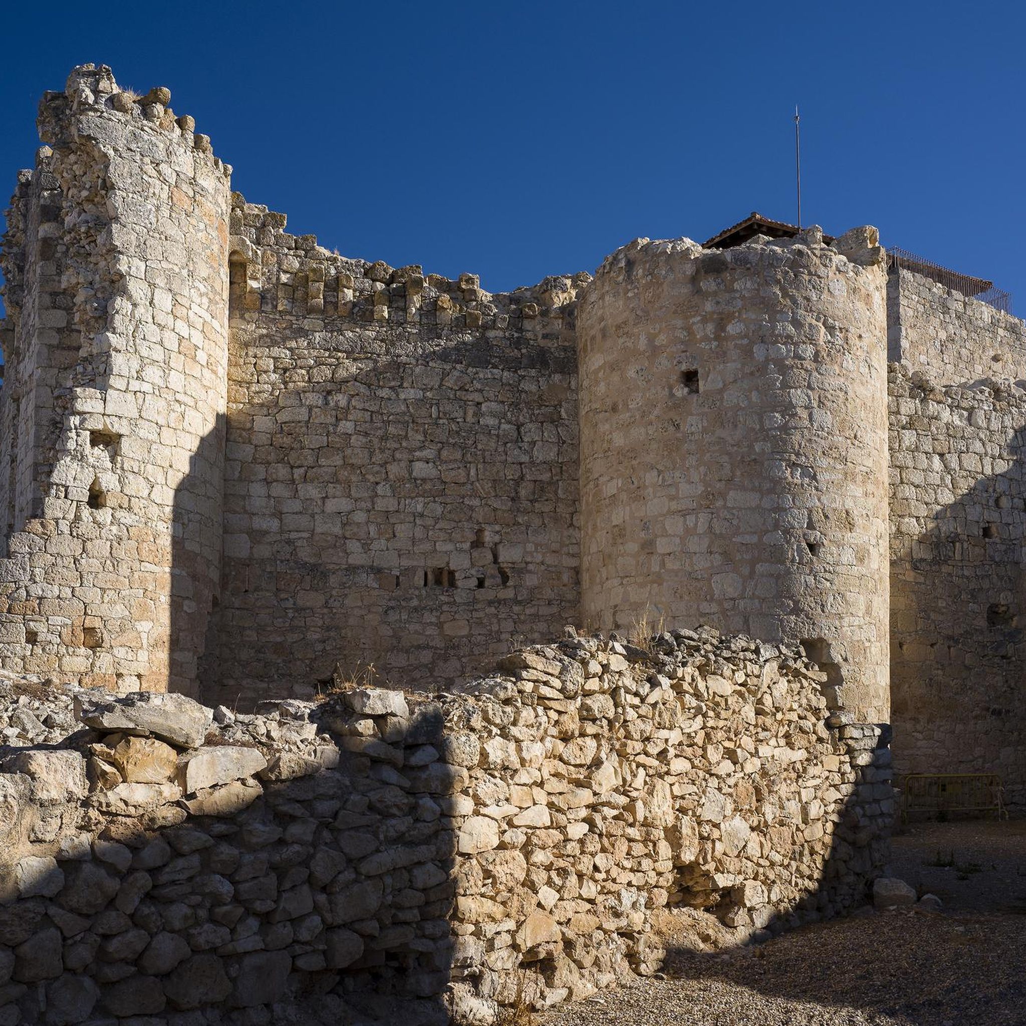
Yes, several routes provide excellent views of historical sites. For instance, the Rio Riaza y Castillo de Torregalindo — circular by Milagros follows the Riaza River and passes by Torregalindo Castle. Another option is Home and its castle - circular along the Riaza riverbank, which offers views of a local castle.
What kind of natural features can I expect to see on the trails?
The natural features around Haza include the meandering Riaza River, which many trails follow, as well as extensive agricultural plains and areas of wetlands. You'll also encounter open fields and occasional wooded sections, providing a mix of landscapes.
Most popular attractions around Haza

Get inspired with the komoot mobile app


Explore more
Browse the best Hikes in other regions.
