The best walks and hikes around Aguilar De Bureba
4.7
(7)
39
hikers
7
hikes
Hiking around Aguilar de Bureba reveals a landscape characterized by diverse natural features. The region includes expansive agricultural fields and verdant river valleys, traversed by streams like the Bañuelos and Fuentemoros. To the north, the Montes Obarenes present gorges and ravines, while the Montes de Oca and Sierra de la Demanda to the south contribute forested mountain slopes. This area also features the Ebro Canyons and ancient beech forests, offering varied hiking terrain.
Best hiking trails around Aguilar de Bureba
…Last updated: May 20, 2026
5.0
(1)
4
hikers
11.7km
03:27
330m
330m
Hike a moderate 7.2-mile circular route from Buezo, exploring the historic Sanctuary of Doña Casilda and panoramic views from San Torcaz.
4.7
(3)
16
hikers
11.6km
03:42
470m
470m
Moderate hike. Good fitness required. Easily-accessible paths. Suitable for all skill levels.

Sign up for free
5.0
(1)
6
hikers
10.5km
03:25
450m
450m
Moderate hike. Good fitness required. Easily-accessible paths. Suitable for all skill levels.
5.0
(1)
5
hikers
13.7km
04:36
650m
650m
Moderate hike. Good fitness required. Easily-accessible paths. Suitable for all skill levels.
3
hikers
Moderate hike. Good fitness required. Easily-accessible paths. Suitable for all skill levels.
Get access to more routes and recommendations from other explorers.
Sign up for free
Already have an account?
Our route recommendations are based on thousands of hikes, rides, and runs completed by other people on komoot.
Start today with a free account
Your next adventure awaits.
Login or Signup
Popular around Aguilar De Bureba
Tips from the Community


In this case I climbed from the south, from Soto de Bureba.
1
0
A good route, coming from the south.
2
0
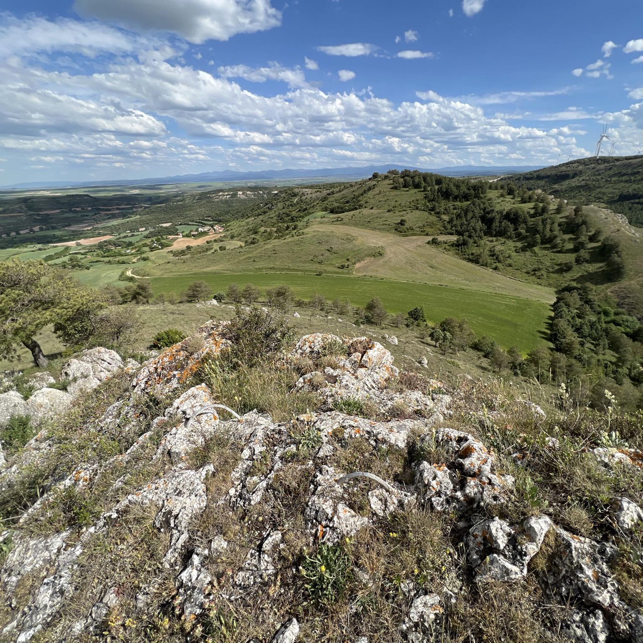
To decide whether to go west (Lost Bread) or east (Petralata Castle). The second option is more dangerous, no doubt.
1
0

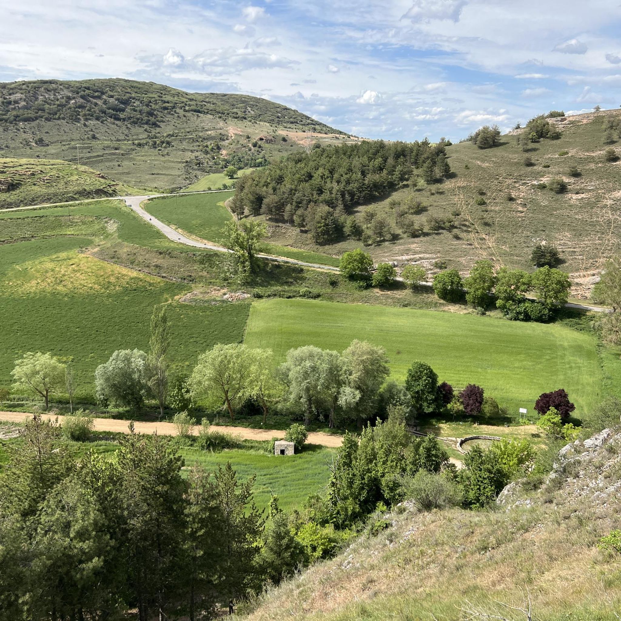
Surrounded by nature, this sanctuary pays homage to Santa Casilda, a local saint. Its impressive architecture and serene atmosphere create a space conducive to reflection and devotion. Undoubtedly one of the most spectacular architectural monuments in the region.
1
0

The paths that reach the set of wells in the area are beautiful and full of nature. Paths that lead to what used to be waters with healing properties, along with the sanctuary that is a few meters away.
0
0
Starting from Briviesca and taking the local road we arrive at Revillalcón. On a rock stands the sanctuary. Below there are some springs that the people call wells and that have given their name to the sanctuary.
0
0
Frequently Asked Questions
What kind of terrain can I expect on hikes around Aguilar de Bureba?
The hiking terrain around Aguilar de Bureba is quite varied. You'll find expansive agricultural fields, verdant river valleys traversed by streams like the Bañuelos and Fuentemoros, and dramatic gorges and ravines in the Montes Obarenes to the north. To the south, the Montes de Oca and Sierra de la Demanda offer forested mountain slopes. The area also features ancient beech forests and the Ebro Canyons, providing a diverse range of landscapes from gentle paths to more challenging routes.
Are there any easy hiking trails suitable for beginners or families?
Yes, there are paths suitable for all levels. While many routes are moderate, the region offers accessible paths for families and individuals of varying abilities. For example, there is 1 easy route available, and the overall network includes options for different ability levels.
What are some notable natural features or landmarks to see while hiking?
The region is rich in natural beauty and historical sites. You can explore the impressive gorges and ravines of the Montes Obarenes, or the lush riparian zones along the Ebro and Oroncillo rivers. Notable natural attractions include the Carrales Beech Forest and the beech forest of Las Pisas, which offer enchanting strolls. For specific landmarks, consider visiting the Sanctuary of Doña Casilda, or reaching the Summit of Pan Perdido for panoramic views.
Are there any circular hiking routes available?
Yes, many of the routes around Aguilar de Bureba are circular, allowing you to start and end at the same point. A popular option is the Santa Casilda Sanctuary and Santorcaz Loop, which is a moderate 7.2-mile (11.7 km) trail. Another is the MesaDeOña (summit) – Mesa de Oña loop from La Parte de Bureba, an 8.5-mile (13.7 km) route through forested mountain slopes.
What is the best season for hiking in Aguilar de Bureba?
The diverse flora, including beech trees, holm oaks, holly, juniper, and pines, suggests that spring and autumn would be particularly beautiful for hiking, offering vibrant colors and pleasant temperatures. The presence of lush riparian zones also makes summer an option, especially for shaded walks along rivers, though temperatures might be higher. Winter hiking is possible, but conditions can vary, especially in higher elevations of the Montes Obarenes.
Are dogs allowed on the hiking trails?
While specific regulations for each trail can vary, many natural areas in Spain are generally dog-friendly, especially if dogs are kept on a leash. The Montes Obarenes Natural Park, with its rich biodiversity, is a protected area, so it's always best to keep dogs under control to protect local wildlife. We recommend checking local signage or park regulations for specific trails.
How long do hikes typically take in this region?
Hike durations vary depending on the route's length and difficulty. For example, the Santa Casilda Sanctuary and Santorcaz Loop typically takes around 3 hours and 27 minutes. A longer route like the MesaDeOña (summit) – Mesa de Oña loop from La Parte de Bureba can take about 4 hours and 36 minutes. There are also shorter options, with the shortest moderate route taking approximately 2 hours and 9 minutes.
What do other hikers say about the trails around Aguilar de Bureba?
The hiking routes in Aguilar de Bureba are highly rated by the komoot community, with an average score of 4.7 stars from over 7 reviews. Hikers often praise the varied terrain, from river valleys to forested mountain slopes and dramatic gorges, and the combination of natural beauty with historical points of interest.
Are there any challenging hiking trails for experienced hikers?
Yes, while there are easy and moderate paths, some routes in the wider Bureba region require good fitness and sure-footedness, with a few even demanding alpine experience. The Montes Obarenes, with its impressive gorges and ravines, offers more challenging terrain for those seeking a greater adventure. For example, the MesaDeOña (summit) – Mesa de Oña loop from La Parte de Bureba involves significant elevation gain, making it suitable for those with good physical condition.
Is there public transport or parking available near the trailheads?
The region around Aguilar de Bureba includes various small villages, and many routes originate from these. While specific public transport options to every trailhead might be limited in rural areas, parking is generally available in or near these villages. For routes like the Summit of Pan Perdido – Windows loop from Navas de Bureba, starting from Navas de Bureba, you would typically find parking within the village.
Are there any waterfalls or wild swimming spots along the trails?
The region is traversed by streams like the Bañuelos and Fuentemoros, and the Ebro and Oroncillo rivers form the hydrological backbone. The beech forest of Las Pisas is mentioned as having routes leading to waterfalls. While specific wild swimming spots are not detailed, the numerous rivers and streams, especially in lush riparian zones, might offer opportunities for cooling off, but always exercise caution and check local regulations regarding swimming.
Most popular attractions around Aguilar De Bureba

Get inspired with the komoot mobile app


Explore more
Browse the best Hikes in other regions.
