The best walks and hikes around Sotosalbos
4.6
(190)
1,531
hikers
96
hikes
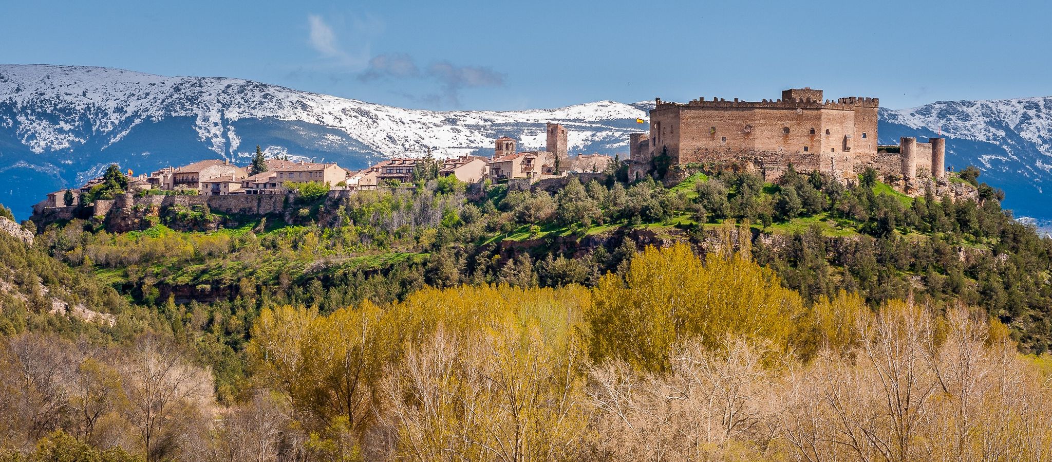
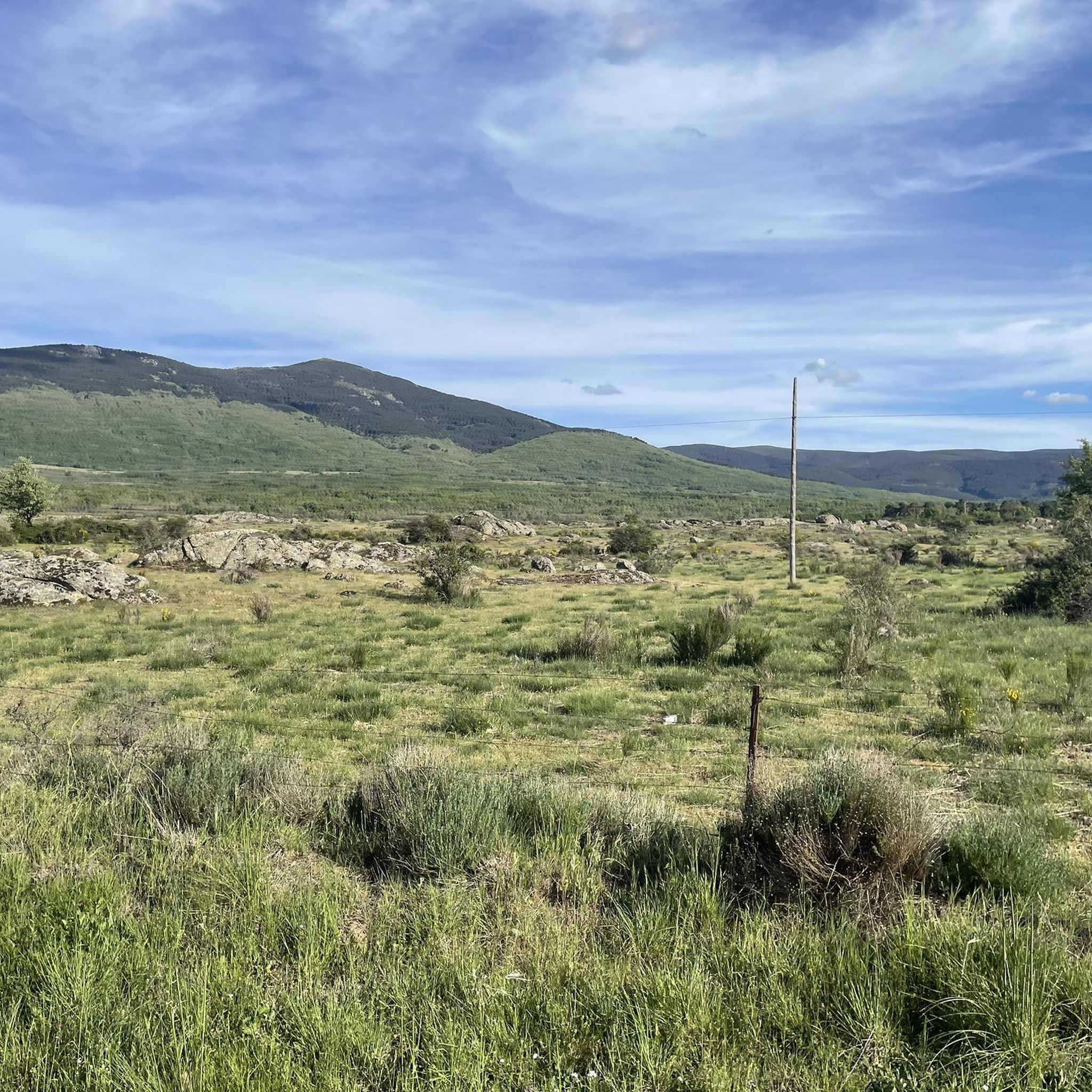
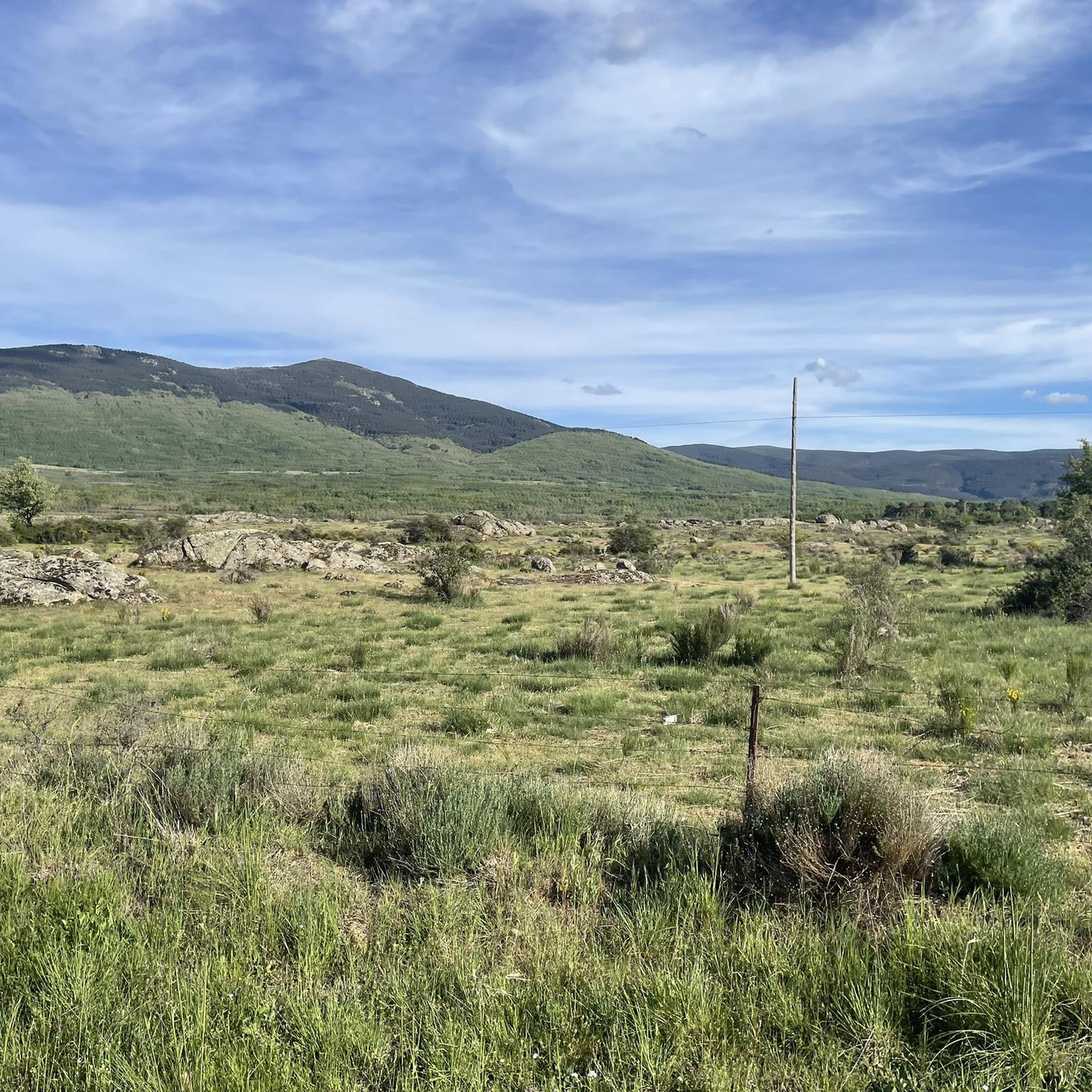
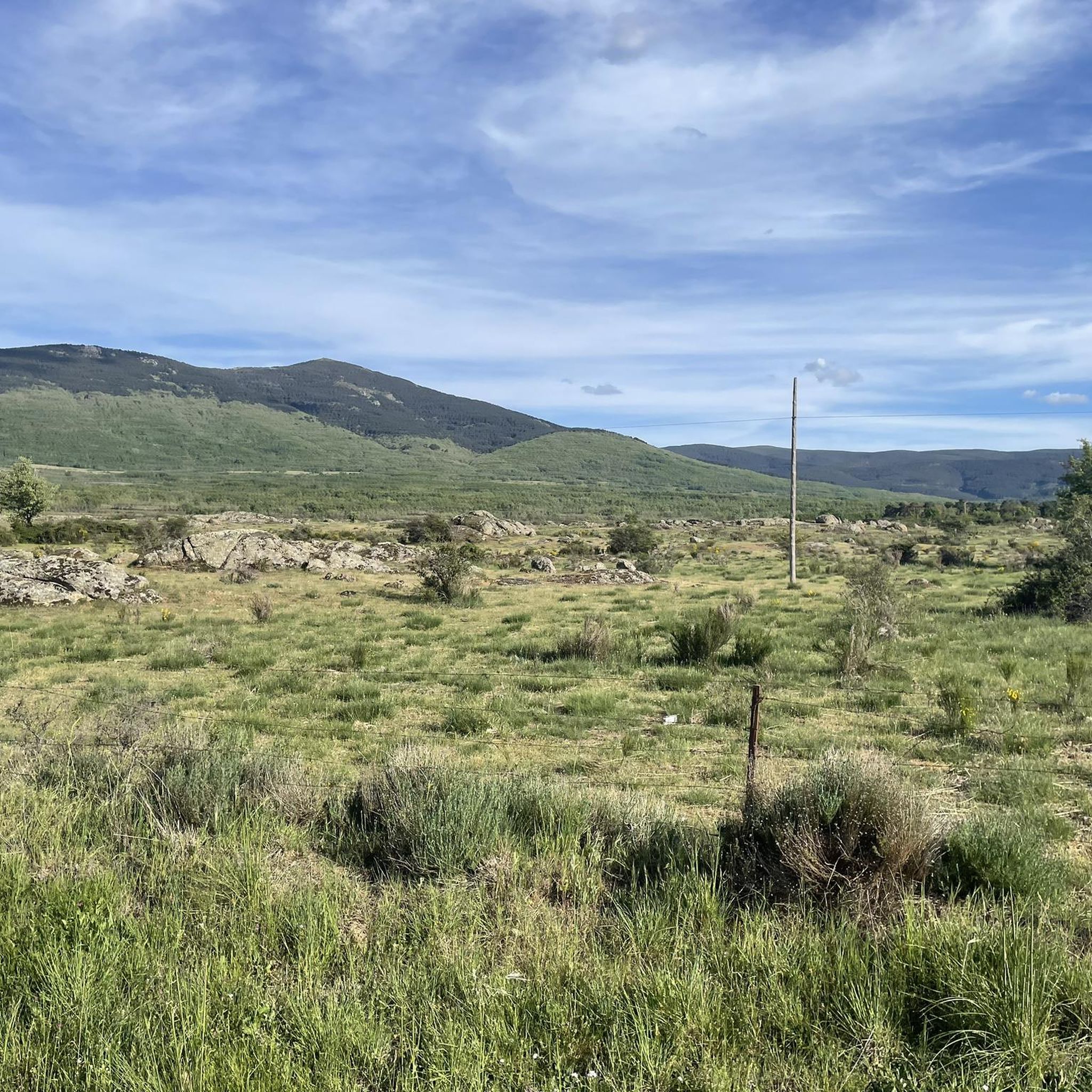
Hiking around Sotosalbos offers access to diverse terrain at the foot of the Sierra de Guadarrama National Park. The area features mountainous backdrops, forested paths within the Mata del Pirón forest, and access to additional routes near the Port of Malangosto. Seasonal water levels in the historical Linen Ponds contribute to local biodiversity, providing unique natural attractions. The village itself presents traditional Segovian architecture and historical elements like the Romanesque Church of San Miguel Arcángel.
Best hiking trails around Sotosalbos
…Last updated: July 4, 2026
24.7km
08:48
970m
970m
Hard hike. Very good fitness required. Mostly accessible paths. Sure-footedness required.
3.0
(2)
8
hikers
Hard hike. Very good fitness required. Easily-accessible paths. Suitable for all skill levels.

Sign up for free
4.0
(1)
8
hikers
Hard hike. Very good fitness required. Easily-accessible paths. Suitable for all skill levels.
6
hikers
19.4km
06:26
750m
750m
Hard hike. Very good fitness required. Mostly accessible paths. Sure-footedness required.
5.0
(1)
4
hikers
6.34km
01:42
80m
80m
Easy hike. Great for any fitness level. Easily-accessible paths. Suitable for all skill levels.
Get access to more routes and recommendations from other explorers.
Sign up for free
Already have an account?
Our route recommendations are based on thousands of hikes, rides, and runs completed by other people on komoot.
Start today with a free account
Your next adventure awaits.
Login or Signup

Other adventures around Sotosalbos

Tips from the Community

Mountain pass between Segovia and Madrid.
0
0

highest peak of the Carpetanos Mountains, beautiful
0
0
Pico del Nevero, the highest of the Carpetanos Mountains, with beautiful views.
0
0

The Malagosto Pass or Malangosto Pass is a mountain pass located in the Guadarrama Mountains, inland on the Iberian Peninsula. The route that crosses it connects the Spanish provinces of Segovia and Madrid. It is located between the Reventón and Navafría mountain passes. The Malagosto Pass, located at an altitude of 1,928 m above sea level, separates the provinces of Segovia and Madrid.
0
0
Last winter of 2023, Pico Nevero lost its Geodesic, which detached itself from the cement landmark on which it was located and rolled through the ice and snow about 50 meters below. + R.I.P. + the Pico Nevero Geodesic.
0
0

Very well-kept town, its church is worth visiting, a jewel of Castilian Romanesque.
1
0

One of several transhumance ports available to the Montes Carpetanos in the Middle Ages. Here we will find the stone fence, where the legend is carved: "Puerto del Malagosto or Puerto del Libro del Buen Amor Years 1330 - 1,929 m J.A.G."
1
0
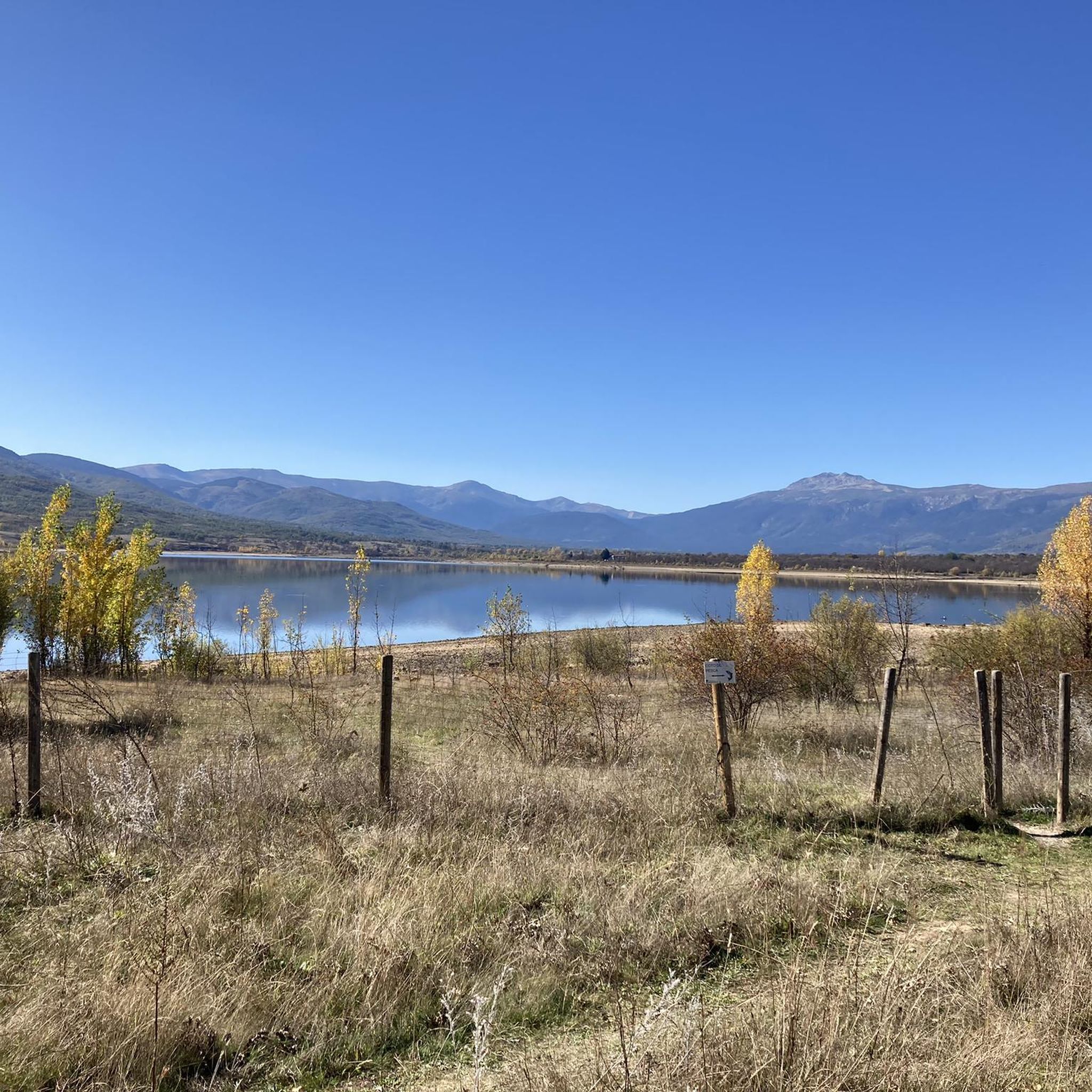
Reservoir located in a very picturesque place, so it is worth going through the dam and enjoying the landscape.
1
0
Frequently Asked Questions
How many hiking trails are available around Sotosalbos?
There are over 90 hiking trails around Sotosalbos, offering a wide range of options for different skill levels and preferences. The komoot community has explored more than 1500 routes in the area.
What kind of landscapes can I expect to see on hikes near Sotosalbos?
Hikes around Sotosalbos offer incredibly diverse landscapes, from the rugged mountain peaks and vast pine and oak forests of the Sierra de Guadarrama National Park to serene river valleys and unique granite formations. You'll find paths through dense forests, high mountain grasslands, and along flowing streams like the Pirón River.
Are there easy hikes suitable for beginners or families in Sotosalbos?
Yes, Sotosalbos offers several easy hikes perfect for beginners or families. For a gentle exploration of the village surroundings, consider the Sotosalbos loop from Sotosalbos, an easy 4.3-mile (6.9 km) path with minimal elevation gain. Another easy option is the Sotosalbos loop from Pelayos del Arroyo, which is 3.3 miles (5.3 km) long.
Are there more challenging hiking routes for experienced hikers?
Absolutely. For those seeking a more challenging experience, Sotosalbos provides access to routes with significant elevation changes within the Sierra de Guadarrama. A popular moderate option is the Reserva natural de anfibios loop from Collado Hermoso, an 8.4-mile (13.5 km) trail with over 500 meters of ascent, typically taking over 4 hours to complete.
What are some notable natural attractions or viewpoints along the trails?
The region boasts several impressive natural features. You can find stunning mountain views from summits like Nevero Peak or Peñas Crecientes Summit. For a unique natural monument, explore the area around Devil's Wagon, or visit the beautiful Chorro Grande Waterfall.
What is the best time of year to go hiking in Sotosalbos?
Sotosalbos offers a beautiful natural setting throughout the year. While spring and early summer provide lush greenery and pleasant temperatures, autumn is particularly striking with vibrant changes in the trees. Winter hiking is also possible, especially on lower-altitude trails, but requires appropriate gear for colder conditions.
Are there circular hiking routes available?
Yes, many of the trails around Sotosalbos are designed as circular routes, allowing you to start and end in the same location. Examples include the Encinas loop from Pelayos del Arroyo, a 6.4-mile (10.4 km) trail, and various 'loop' routes starting directly from Sotosalbos or nearby villages.
Can I hike with my dog in Sotosalbos and the Sierra de Guadarrama National Park?
Hiking with dogs is generally permitted on trails around Sotosalbos and within the Sierra de Guadarrama National Park, but it's crucial to keep them on a leash to protect wildlife and ensure the safety of other hikers. Always carry water for your dog and clean up after them.
What do other hikers enjoy most about the trails in Sotosalbos?
The hiking trails in Sotosalbos are highly rated by the komoot community, with an average score of 4.6 stars. Reviewers often praise the diverse terrain, the stunning mountainous backdrops, the tranquility of the dense forests, and the picturesque charm of the village architecture.
Are there any less crowded hiking trails around Sotosalbos?
While popular routes can see more visitors, the extensive network of trails in the Sierra de Guadarrama means it's often possible to find quieter paths. Exploring routes that venture slightly further from the main access points or hiking during off-peak hours can lead to a more solitary experience amidst nature.
Is there parking available near the hiking trailheads in Sotosalbos?
Yes, Sotosalbos and surrounding villages typically offer parking options. For specific trailheads, it's advisable to check the route details on komoot, as many routes start from village centers or designated parking areas, such as those found near Collado Hermoso or Pelayos del Arroyo.
Most popular routes around Sotosalbos
Most popular attractions around Sotosalbos

Get inspired with the komoot mobile app


Explore more
Browse the best Hikes in other regions.
