The best road cycling routes around La Campana
5.0
(6)
133
riders
8
rides
Road cycling routes around La Campana offer varied terrain for cyclists. The region features rolling landscapes with moderate elevation changes, connecting various towns and agricultural areas. These routes primarily consist of paved surfaces, suitable for road bikes, and provide opportunities to explore the local countryside. The area's topography allows for routes with gradual ascents and descents, making it accessible for different fitness levels.
Best road cycling routes around La Campana
- The most popular road cycling route is Arrival in Marchena…
Last updated: June 26, 2026
5.0
(2)
14
riders
62.6km
02:36
360m
360m
Moderate road ride. Good fitness required. Some segments of this route may be unpaved and difficult to ride.
5.0
(1)
14
riders
91.3km
03:44
460m
460m
Moderate road ride. Good fitness required. Some segments of this route may be unpaved and difficult to ride.

Sign up for free
5.0
(2)
12
riders
43.4km
01:49
280m
280m
Moderate road ride. Great for any fitness level. Some segments of this route may be unpaved and difficult to ride.
5.0
(1)
11
riders
65.5km
02:40
310m
310m
Moderate road ride. Good fitness required. Mostly well-paved surfaces and easy to ride.
12
riders
77.3km
03:30
720m
720m
Moderate road ride. Good fitness required. Mostly well-paved surfaces and easy to ride.
Get access to more routes and recommendations from other explorers.
Sign up for free
Already have an account?
Our route recommendations are based on thousands of hikes, rides, and runs completed by other people on komoot.
Start today with a free account
Your next adventure awaits.
Login or Signup

Tips from the Community

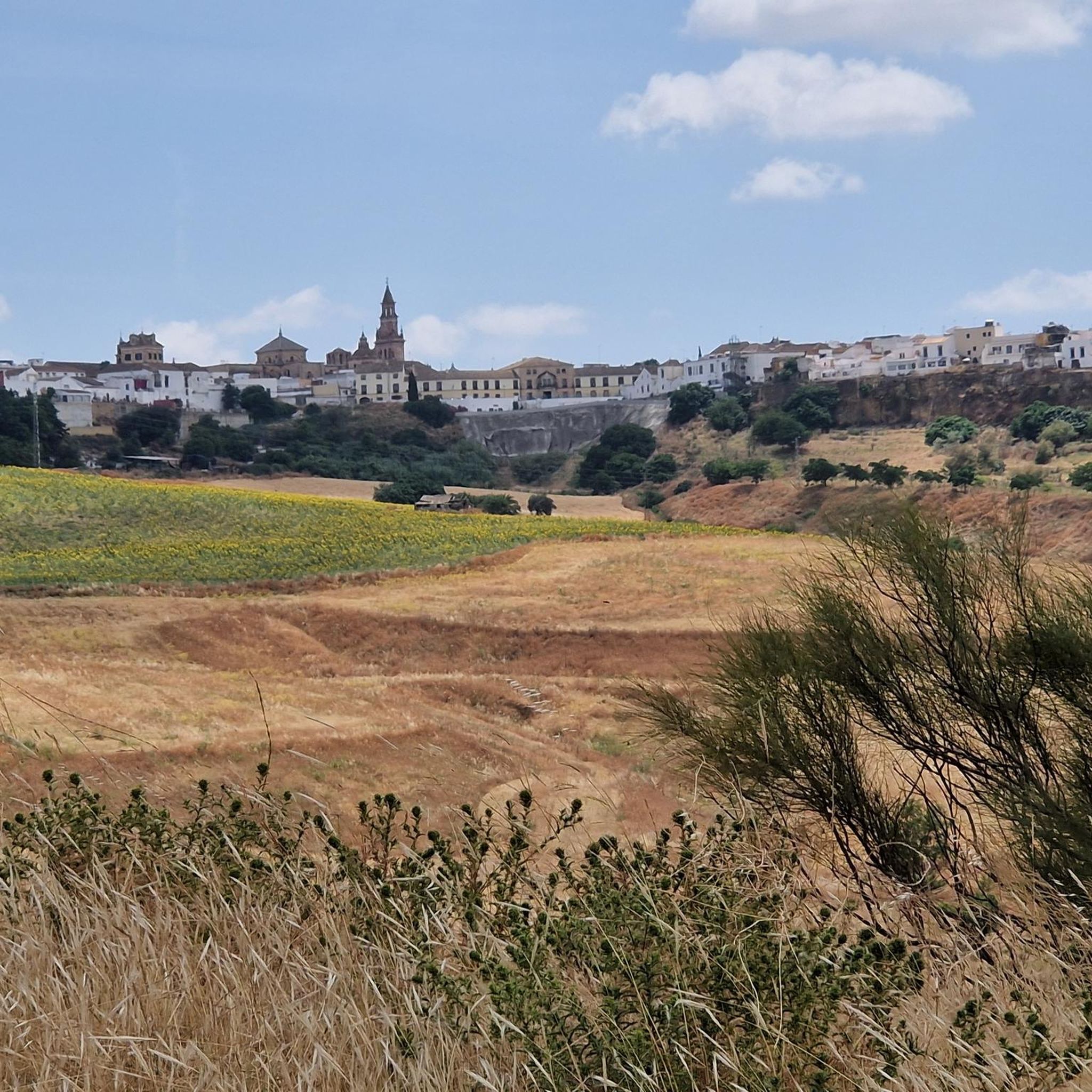
In the heart of the Guadalquivir Valley, at the foot of the Sierra Morena mountains, 57 km from Seville. Its origins are Turdetani and Roman (Axati), followed by the Andalusian period (Al Lawra), and after the conquest, it became a domain of the Order of Malta.
8
0
The Plaza de Andalucía in Lora del Río (Seville) is one of the most emblematic spaces in the town's historic center. Located in the southwestern part of the historic district, very close to the Plaza de España and the Town Hall, it is connected by Blas Infante Street. It has a trapezoidal shape, with a central pedestrian area and vehicular traffic around the perimeter.
6
0

The Río Guadalquivir is dammed up here to create the water level and constant supply for the irrigiation canal beginning a few hundred yards further on the west side.
0
0
The Lower Guadalquivir Canal, also known as the Prisoners' Canal, is an irrigation canal located in southern Spain. It was built during the early Franco era by several thousand political prisoners under the Militarized Penal Colony Service, created in September 1939. It was the public work of Franco's regime that "used political prisoners as its main labor force for the longest period [from 1940 to 1962]."
0
0

Castelo dos Infantes [1 ] (officially called Santiago de Castelo dos Infantes) [2 ] [3 ] is a parish and a village [4 ] in the municipality of Sarria, in the province of Lugo, Galicia.
1
0

Delicious tapas next to the pool. Nice place to sit.
3
0

It is a castle from the mid-14th century located in the heart of the town of La Puebla de los Infantes. Although it is in ruins, two towers are still preserved. It is freely accessible, so you can visit it whenever you want.
1
0
La Puebla de los Infantes is a Sevillian town of almost 3000 inhabitants. Its gastronomy is famous for its game meat: don't miss out on a good venison or wild boar dish. It has a rich historical heritage, with buildings such as the 14th century castle. It limits with the province of Córdoba.
2
0
Frequently Asked Questions
How many road cycling routes are available around La Campana?
There are 5 road cycling routes currently available around La Campana, all rated as moderate difficulty. These routes offer a variety of distances and elevation gains to explore the region's landscapes.
What is the general difficulty level of road cycling routes in La Campana?
All road cycling routes around La Campana are currently rated as moderate. They feature rolling landscapes with gradual ascents and descents, making them accessible for various fitness levels while still offering a good challenge.
What kind of terrain can I expect on road cycling routes around La Campana?
The road cycling routes primarily consist of paved surfaces, traversing rolling hills and agricultural plains. You'll connect various towns and explore the local countryside, which is part of the Chilean Coastal Range. While the national park itself has some unpaved sections, the dedicated road cycling routes focus on the surrounding paved areas.
What natural features or landmarks can I see while road cycling in La Campana?
While cycling, you'll experience the region's diverse landscapes. The area is known for its striking mountainous terrain and is a UNESCO Biosphere Reserve. Keep an eye out for the unique Chilean palm trees, especially in the Ocoa Valley. You might also encounter historical sites and deep ravines. Specific points of interest include the Canal de los Presos del Bajo Guadalquivir and the Santa Lucía valley.
Are there any historical sites or points of interest along the routes?
Yes, the region holds historical importance, with archaeological sites and petroglyphs within the broader La Campana area. Charles Darwin visited in 1834, fascinated by the Chilean palm. You can also pass through historic towns and see structures like the Puente de Hierro de Lora del Río.
What do other cyclists say about road cycling in La Campana?
The road cycling routes around La Campana are highly rated by the komoot community, with an average score of 5.0 stars from over 6 reviews. More than 100 road cyclists have used komoot to explore the varied terrain, often praising the scenic agricultural plains and the connections between charming towns.
Are there any circular road cycling routes available?
Yes, all the listed road cycling routes around La Campana are circular. For example, you can enjoy the Arrival in Marchena – Fuentes de Andalucía loop from Fuentes de Andalucía, which is 38.7 miles (62.3 km) long, or the longer Fuentes de Andalucía – Marchena loop from Fuentes de Andalucía, spanning 56.7 miles (91.3 km).
What is the longest road cycling route in the area?
The longest road cycling route is the Fuentes de Andalucía – Marchena loop from Fuentes de Andalucía, which covers 56.7 miles (91.3 km) and typically takes around 3 hours 44 minutes to complete. This route offers notable elevation changes as it traverses between towns.
What is the shortest road cycling route in the area?
The shortest road cycling route is the Arrival in Marchena – Marchena loop from Fuentes de Andalucía. This trail is 27.0 miles (43.4 km) long and can typically be completed in about 1 hour 49 minutes, leading through the local countryside.
Are there routes that connect different towns?
Yes, many routes are designed to connect various towns, allowing you to experience the local culture and architecture. For instance, the Fuentes de Andalucía – Lora del Río loop from Fuentes de Andalucía connects these two settlements, offering a journey through the region's agricultural heartland.
What are the typical elevation gains on these routes?
The routes feature moderate elevation gains, reflecting the rolling landscapes of the region. For example, the Arrival in Marchena – Fuentes de Andalucía loop has an elevation gain of approximately 362 meters, while the Fuentes de Andalucía – Arrival in Marchena loop involves about 436 meters of ascent.
Most popular attractions around La Campana

Get inspired with the komoot mobile app


Explore more
Browse the best Road cycling routes in other regions.
