The best walks and hikes around Cantillana
4.4
(9)
103
hikers
12
hikes
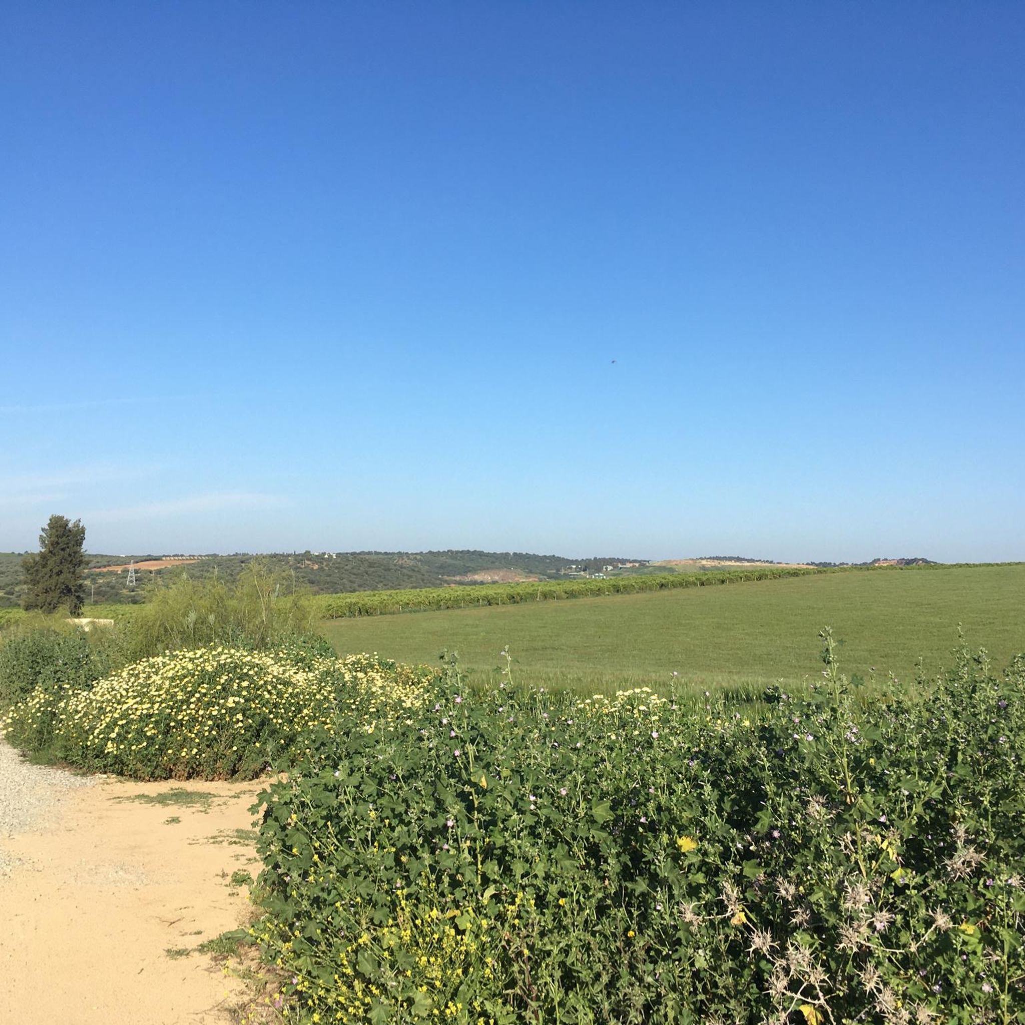
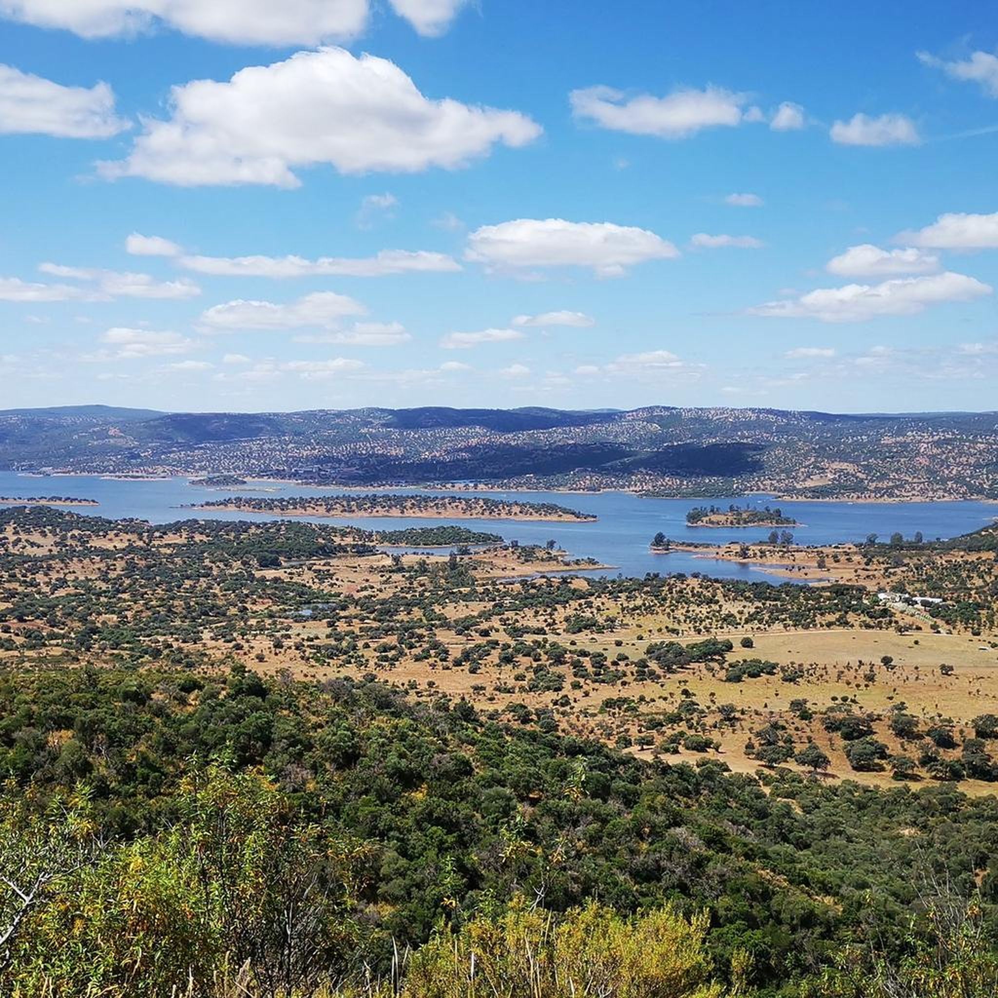
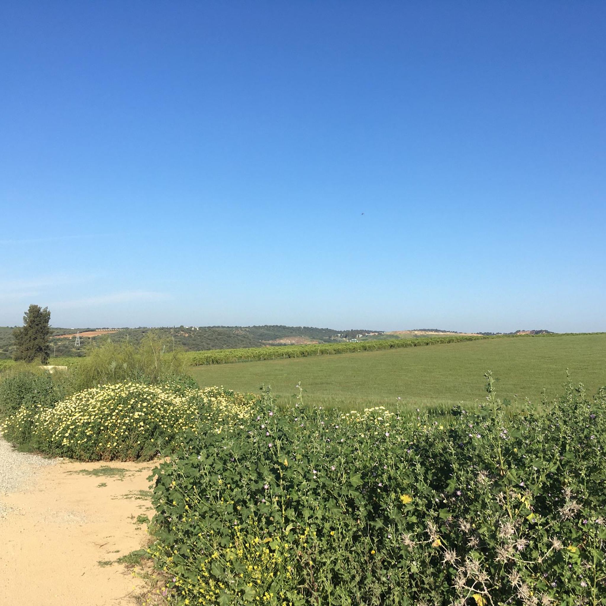
Hiking around Cantillana offers a diverse landscape, situated between the foothills of the Sierra Morena to the north and the Guadalquivir River Plain. The region features gentle hills, dehesas with holm and cork oaks, Mediterranean scrub, and lush river valleys. It encompasses parts of the Guadalquivir River Plain Protected Landscape Area and the Sierra Morena de Sevilla Protected Landscape Area, providing varied terrain for outdoor activities.
Best hiking trails around Cantillana
- The most popular hiking route is Archaeological complex of…
Last updated: July 4, 2026
3
hikers
Moderate hike. Good fitness required. Easily-accessible paths. Suitable for all skill levels.
4.0
(1)
1
hikers
7.84km
02:06
90m
90m
Moderate hike. Good fitness required. Easily-accessible paths. Suitable for all skill levels.

Sign up for free
4.5
(2)
29
hikers
Easy hike. Great for any fitness level. Easily-accessible paths. Suitable for all skill levels.
24
hikers
Moderate hike. Good fitness required. Easily-accessible paths. Suitable for all skill levels.
22
hikers
18.8km
05:06
260m
260m
Hard hike. Very good fitness required. Easily-accessible paths. Suitable for all skill levels.
Get access to more routes and recommendations from other explorers.
Sign up for free
Already have an account?
Our route recommendations are based on thousands of hikes, rides, and runs completed by other people on komoot.
Start today with a free account
Your next adventure awaits.
Login or Signup

Tips from the Community


This artificial lake represented a mining extraction of land within the town, already known for mining. Currently and after it was abandoned in the seventies, it has been refilled with water to what is now known as Lago Azul.
0
0
Ancient ruins unusual for their location, as they are quite remote from the town of Villanueva del Río y Minas. However, the old shrine is a beautiful place to see!!
0
0
At the northern exit of the town of Villanueva del Río y Minas is the junction of the Ribera del Huesna with the passage of the train through the town. The spectacle of the bridge is imposing!
0
0
Beautiful bridge that crosses the Rivera del Huesna at the top of the town of Vilanueva del Río y Minas. White and orange bridge, different but beautiful!
1
0
Town that still preserves the remains of its mining industry from what was the town of the old mines. Well number 5 can be seen in perfect condition. It was used to extract coal from the mines in this area.
1
0


Handsome arch bridge over the Rivera del Huéznar. At the foot of the bridge there is a nice little park.
1
1
Frequently Asked Questions
How many hiking trails are available around Cantillana?
There are over 10 hiking trails around Cantillana, offering a range of experiences from easy walks to more moderate routes. The area is highly rated by the komoot community, with an average score of 4.4 stars from 9 reviews.
Are there easy hiking trails suitable for beginners in Cantillana?
Yes, Cantillana offers several easy hiking trails. For example, the Munigua, South necropolis loop from Antiguo apeadero Arenillas FFCC Sevilla-Mérida. Cambio de vías is a 3-mile route that takes about 1 hour 18 minutes, perfect for a relaxed stroll through historical sites.
What kind of landscapes can I expect to see while hiking in Cantillana?
Hiking in Cantillana offers a diverse landscape, situated between the foothills of the Sierra Morena to the north and the Guadalquivir River Plain. You'll encounter gentle hills, wooded pastures known as 'dehesas' with holm and cork oaks, Mediterranean scrub, and lush river valleys. The region also includes parts of the Sierra Morena de Sevilla Protected Landscape Area, known for its forests and panoramic views.
Are there any circular hiking routes in Cantillana?
Yes, many routes in the area are circular. A notable example is the Archaeological complex of Mulva-Munigua — circular from Villanueva del Río y Minas, a 10.6-mile trail that allows you to explore ancient Roman ruins and return to your starting point.
Can I find trails that lead to natural attractions like waterfalls or lakes?
Absolutely. The region is home to natural monuments such as the Huéznar Waterfalls and the Source of the Huéznar River, known for their clear waters. You can also explore routes leading to the Huéznar Reservoir and the unique Lago Azul, a lake formed from a former mining site. The Pozo 5 Mine and Lago Azul Trail is a great option for this.
Are there historical sites or landmarks to explore on the trails?
Yes, Cantillana's trails often weave through areas rich in history. The Archaeological Site of Mulva-Munigua, an ancient Roman city, is a significant point of interest. Trails like the Archaeological complex of Mulva-Munigua — circular from Villanueva del Río y Minas specifically highlight these historical connections.
What is the best time of year to go hiking in Cantillana?
The region experiences a Mediterranean climate. Spring and autumn generally offer the most pleasant temperatures for hiking, with lush landscapes after winter rains and comfortable conditions before the peak summer heat. Winter can also be suitable, though some areas might be cooler.
Are there any trails with good viewpoints in the Cantillana area?
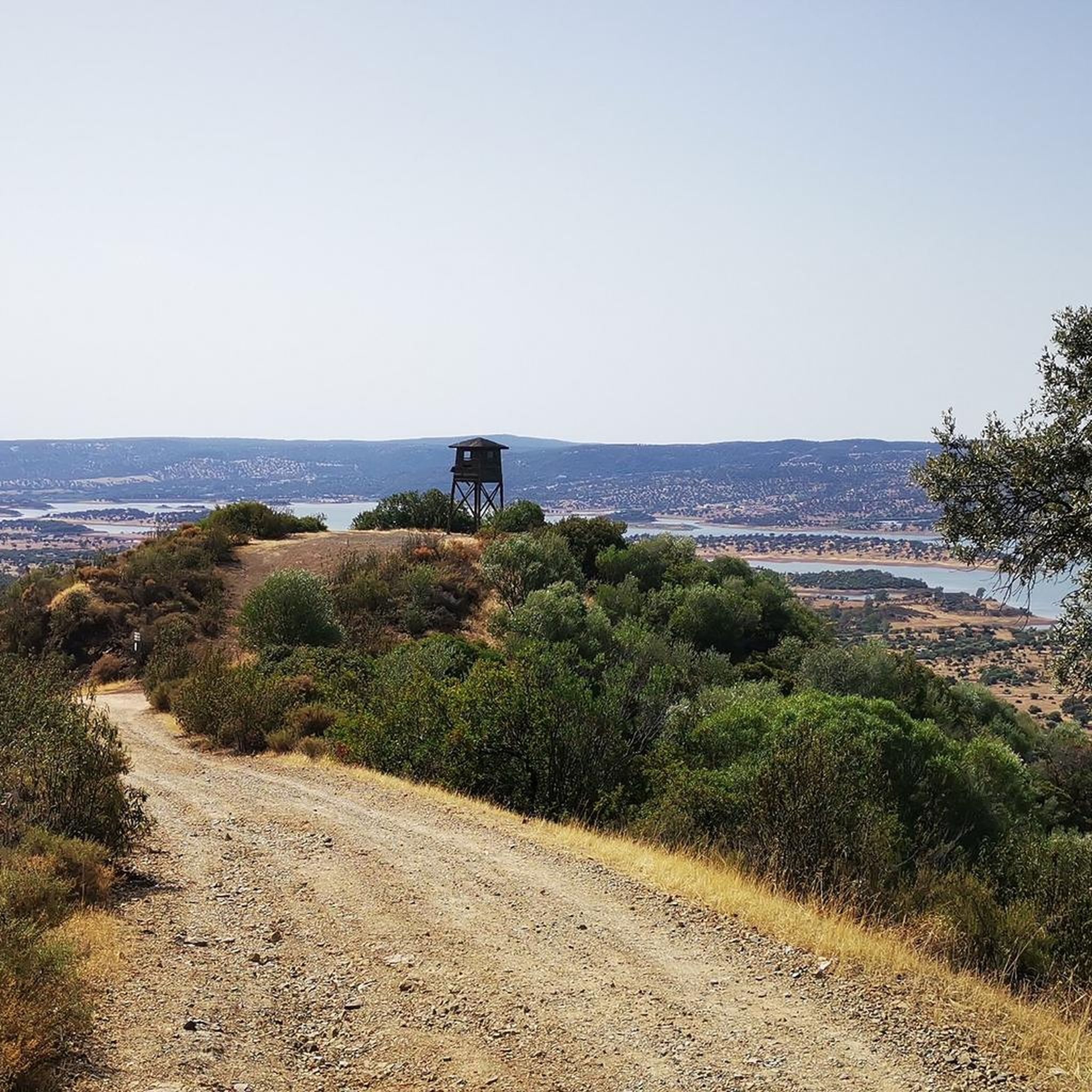
Yes, from elevated points in Cantillana, such as the area around the Asunción Parish Church, you can enjoy impressive views of the Vega del Guadalquivir (Guadalquivir River Plain). Many trails within the Sierra Morena foothills also offer spectacular panoramic vistas.
Is it possible to reach hiking trailheads using public transport?
While specific public transport options to every trailhead may vary, Cantillana itself is accessible. For routes further afield, especially within the Sierra Norte Natural Park, it's often more convenient to travel by car to reach the starting points. Always check local transport schedules for the most up-to-date information.
Are there family-friendly hiking options in Cantillana?
Yes, Cantillana offers trails suitable for families. The region has a mix of easy and moderate routes, allowing you to choose paths that match your family's activity level. Shorter, less strenuous loops are ideal for walks with children.
What do other hikers enjoy most about hiking in Cantillana?
The area is highly rated by the komoot community, with an average score of 4.4 stars. Hikers often praise the diverse landscapes, from the river plains to the Sierra Morena foothills, and the opportunity to combine natural beauty with historical exploration, such as the ancient Roman sites.
Are there any specific regulations for dog owners on the trails?
While many outdoor areas in Spain are dog-friendly, it's always advisable to keep your dog on a leash, especially in protected natural areas like the Sierra Morena de Sevilla Natural Park, to protect wildlife and ensure the safety of other hikers. Always clean up after your pet.
Where can I find parking for hiking trails in Cantillana?
Parking is generally available near the starting points of many popular trails, especially those accessible from towns or villages. For routes like the Munigua Railway Line – Huéznar Reservoir loop, you might find parking near former railway stations or designated trailheads. It's recommended to check specific route details for parking information.
Most popular attractions around Cantillana

Get inspired with the komoot mobile app


Explore more
Browse the best Hikes in other regions.
