The best road cycling routes around Breitbrunn
4.5
(237)
3,871
riders
250
rides
Road cycling routes around Breitbrunn are characterized by their location on the northern side of Lake Chiemsee, offering views of the Bavarian Alps. The region features a mix of lakeside paths, surrounding forests, and rural landscapes. Predominantly paved roads make the area suitable for road bikes, with routes varying from flat sections to those with moderate elevation gains.
Best road cycling routes around Breitbrunn
- The most popular road cycling route is Main riverside near Eltmann – Haßfurt Market Square loop…
Last updated: June 27, 2026
4.8
(4)
69
riders
Moderate road ride. Good fitness required. Some segments of this route may be unpaved and difficult to ride.
5.0
(3)
48
riders
74.9km
03:13
520m
520m
Moderate road ride. Good fitness required. Mostly well-paved surfaces and easy to ride.

Sign up for free
4.9
(7)
58
riders
Easy road ride. Great for any fitness level. Mostly well-paved surfaces and easy to ride.
4.7
(3)
59
riders
26.7km
01:09
130m
130m
Easy road ride. Great for any fitness level. Mostly well-paved surfaces and easy to ride.
4.5
(2)
36
riders
Easy road ride. Great for any fitness level. Mostly well-paved surfaces and easy to ride.
Get access to more routes and recommendations from other explorers.
Sign up for free
Already have an account?
Our route recommendations are based on thousands of hikes, rides, and runs completed by other people on komoot.
Start today with a free account
Your next adventure awaits.
Login or Signup
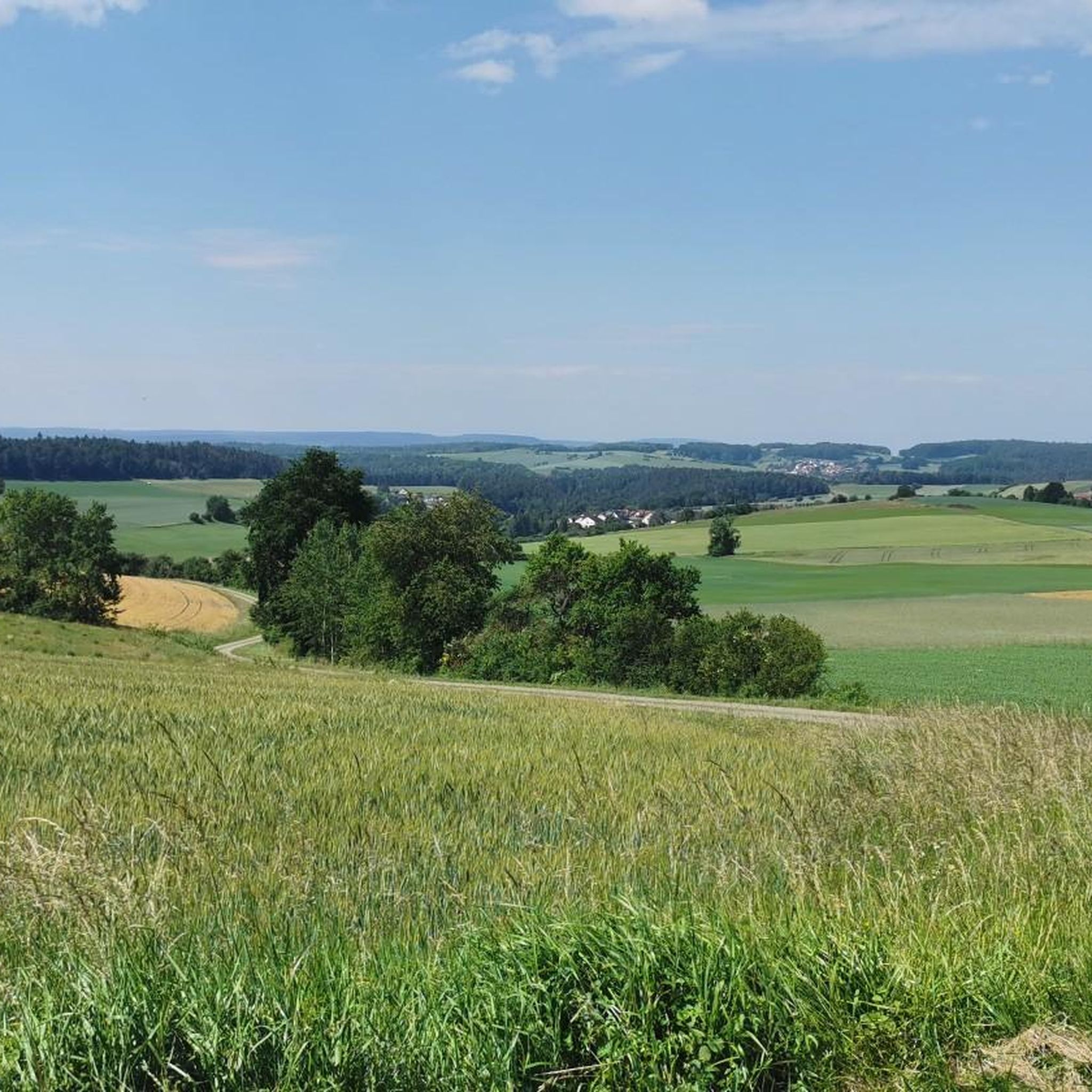

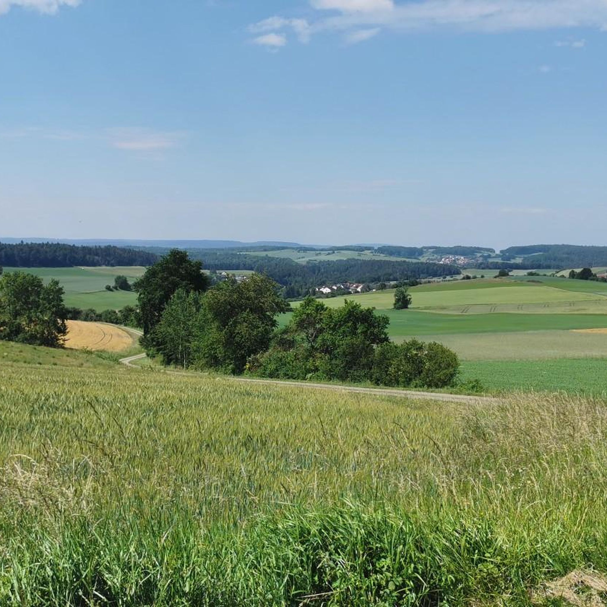
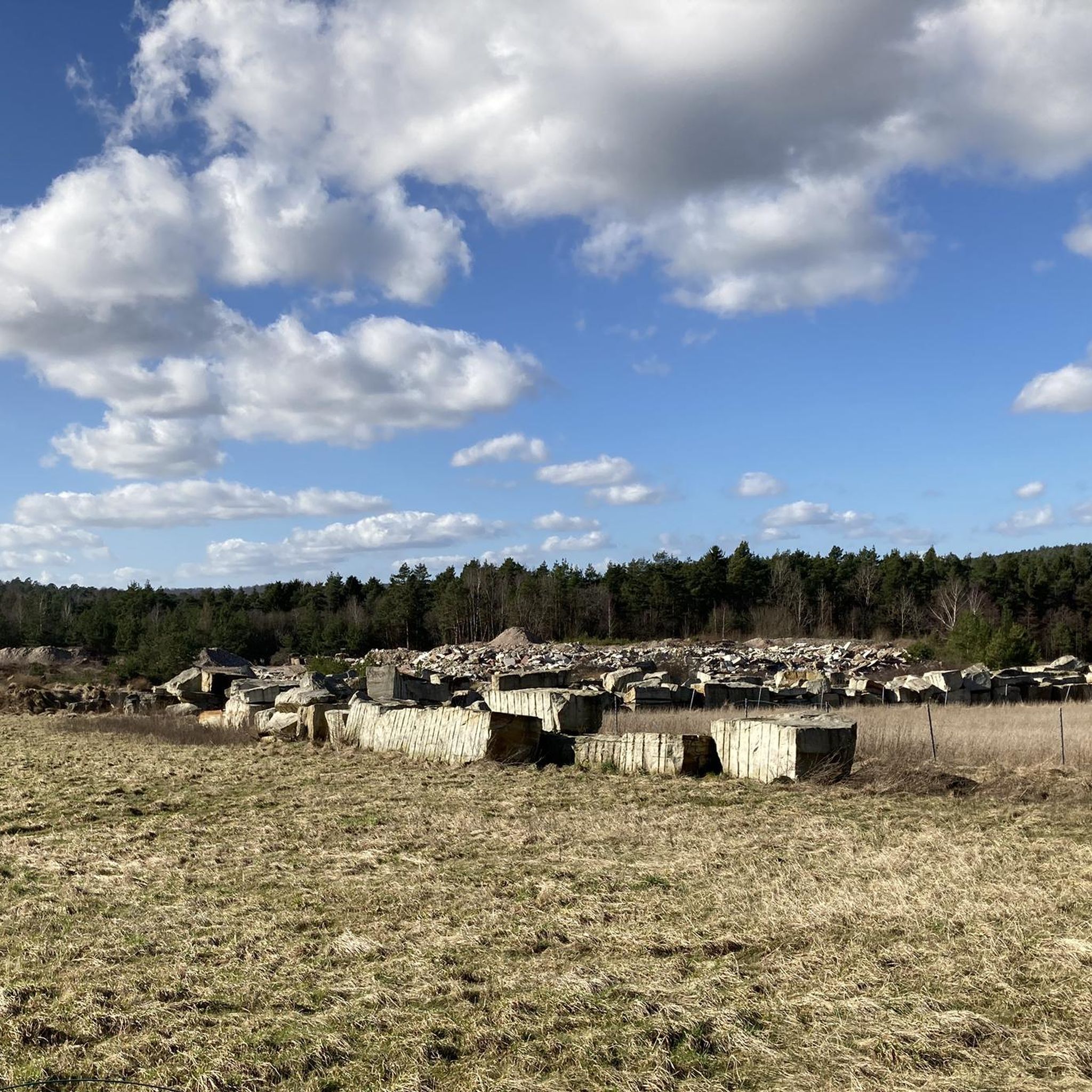
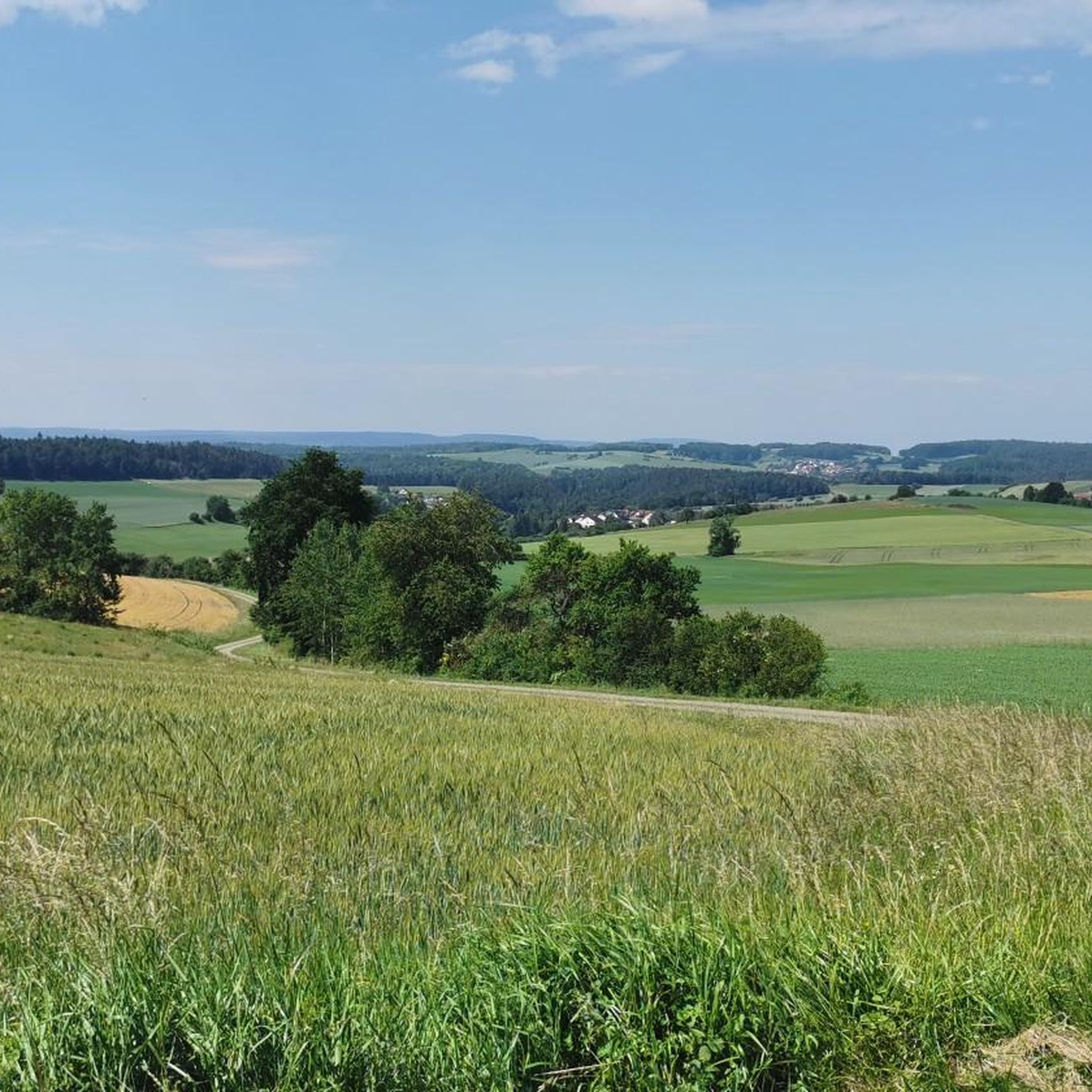
Tips from the Community

Striking building on the already beautiful Marktstraße;
0
0

The old town of Eltmann always has something interesting to offer.
0
0

Beautiful church in Oberschwappach
1
0

Not only the view of the Käppala is magnificent, but also the view from up there of the Main valley
1
0

Unfortunately, you can't see much.
3
0

Private property. There is a retirement home in the castle
3
1

A beautiful town on the Main River with historic buildings and several places to stop for refreshments, Haßfurt is a great place to restock your supplies.
0
0
Frequently Asked Questions
How many road cycling routes are available around Breitbrunn?
There are over 260 road cycling routes around Breitbrunn, catering to various skill levels. This includes approximately 60 easy routes, 170 moderate routes, and 27 challenging options.
What kind of landscapes can I expect while road cycling in Breitbrunn?
Road cycling around Breitbrunn offers diverse landscapes, primarily featuring idyllic views of Lake Chiemsee and the majestic Bavarian Alps. You'll also find routes winding through surrounding forests, charming rural areas with fields, and picturesque villages.
Are there easy road cycling routes suitable for beginners in Breitbrunn?
Yes, Breitbrunn offers a good selection of easy road cycling routes. For instance, the View of Zeiler Käppela – Main River Cycle Path loop from Breitbrunn is an easy 26.8 km (16.6 miles) trail that takes about 1 hour and 9 minutes, leading through river valleys with minimal elevation gain.
Are there challenging road cycling routes with significant elevation gain around Breitbrunn?
While many routes are moderate, there are options for more challenging rides. Some routes can feature elevation gains of over 450 meters (1,476 feet). For example, the Ebern Old Town – Eyrichshof Castle loop from Ebelsbach-Eltmann is a moderate route with an elevation gain of over 520 meters (1,700 feet) over 74.9 km (46.6 miles).
Can I find routes that offer scenic views of Lake Chiemsee and the Alps?
Absolutely. Many road cycling routes in Breitbrunn are designed to showcase the stunning panoramic vistas of Lake Chiemsee and the distant Bavarian Alps, including peaks like the Kampenwand. The Chiemsee cycle path, a 54-kilometer route, is particularly renowned for its continuous lakeside views.
What landmarks or attractions can I see along road cycling routes in Breitbrunn?
Road cycling routes around Breitbrunn often pass by or offer views of various attractions. You might encounter the Eltmann Main Riverside Promenade, the Historic Old Town of Zeil am Main, or the Pilgrimage Church of Maria Limbach. The region also features historic buildings and picturesque villages.
Are there any circular road cycling routes around Breitbrunn?
Yes, many of the road cycling routes in Breitbrunn are designed as loops, allowing you to start and end at the same point. The popular Chiemsee cycle path is a prime example of a circular route that circles the entire lake. Several routes listed in this guide are also loops, such as the Main riverside near Eltmann – Haßfurt Market Square loop from Ebelsbach-Eltmann.
What do other road cyclists enjoy most about road cycling in Breitbrunn?
The komoot community highly rates road cycling in Breitbrunn, with an average score of 4.5 stars from over 200 reviews. Cyclists often praise the region's varied terrain, the stunning lakeside and alpine scenery, and the well-maintained, predominantly paved roads suitable for road bikes.
Are there options for refreshment stops or cafes along the routes?
Yes, many road cycling routes around Breitbrunn pass through charming villages where you can find cafes, pubs, and restaurants. The region's infrastructure caters well to cyclists, offering opportunities for breaks and refreshments, especially in towns along Lake Chiemsee.
Is Breitbrunn am Chiemsee suitable for family-friendly road cycling?
Breitbrunn offers several easy and flat routes, particularly along the lake's shore, which can be suitable for families. These routes often feature well-maintained paths and provide beautiful scenery without significant climbs, making them enjoyable for various ages and fitness levels.
What is the best season for road cycling in Breitbrunn am Chiemsee?
Road cycling in Breitbrunn is prominent year-round, but the spring, summer, and early autumn months generally offer the most pleasant weather conditions. During these seasons, you can enjoy the full beauty of the lake and mountain scenery with comfortable temperatures.
Are there less crowded road cycling trails in Breitbrunn?
While the Chiemsee cycle path can be popular, the extensive network of routes around Breitbrunn includes many options that venture into quieter rural landscapes and forests. Exploring routes slightly away from the immediate lakeside can often lead to less crowded and equally scenic experiences.
Most popular attractions around Breitbrunn

Get inspired with the komoot mobile app


Explore more
Browse the best Road cycling routes in other regions.
