The best walks and hikes around Izagaondoa
4.6
(463)
3,499
hikers
127
hikes
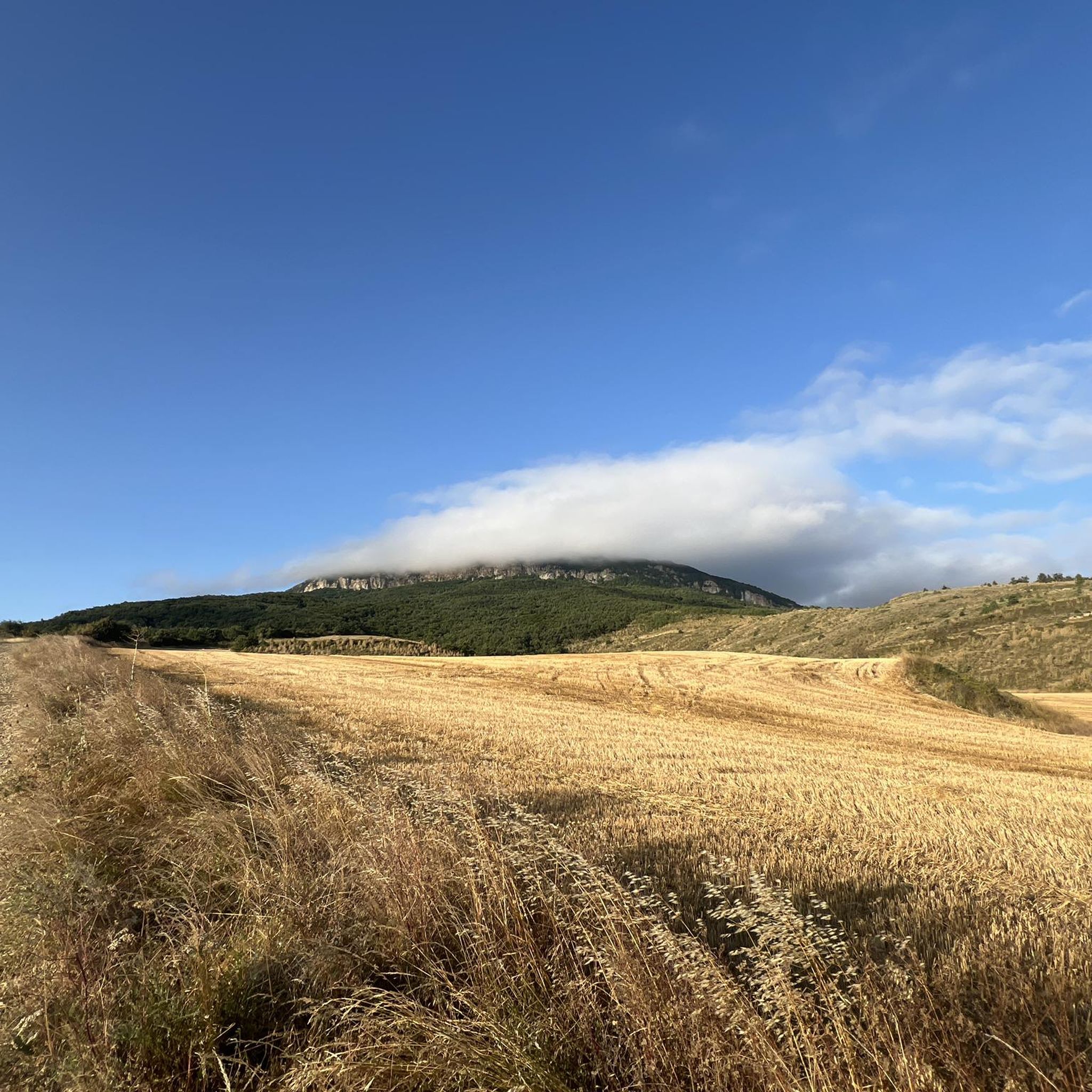
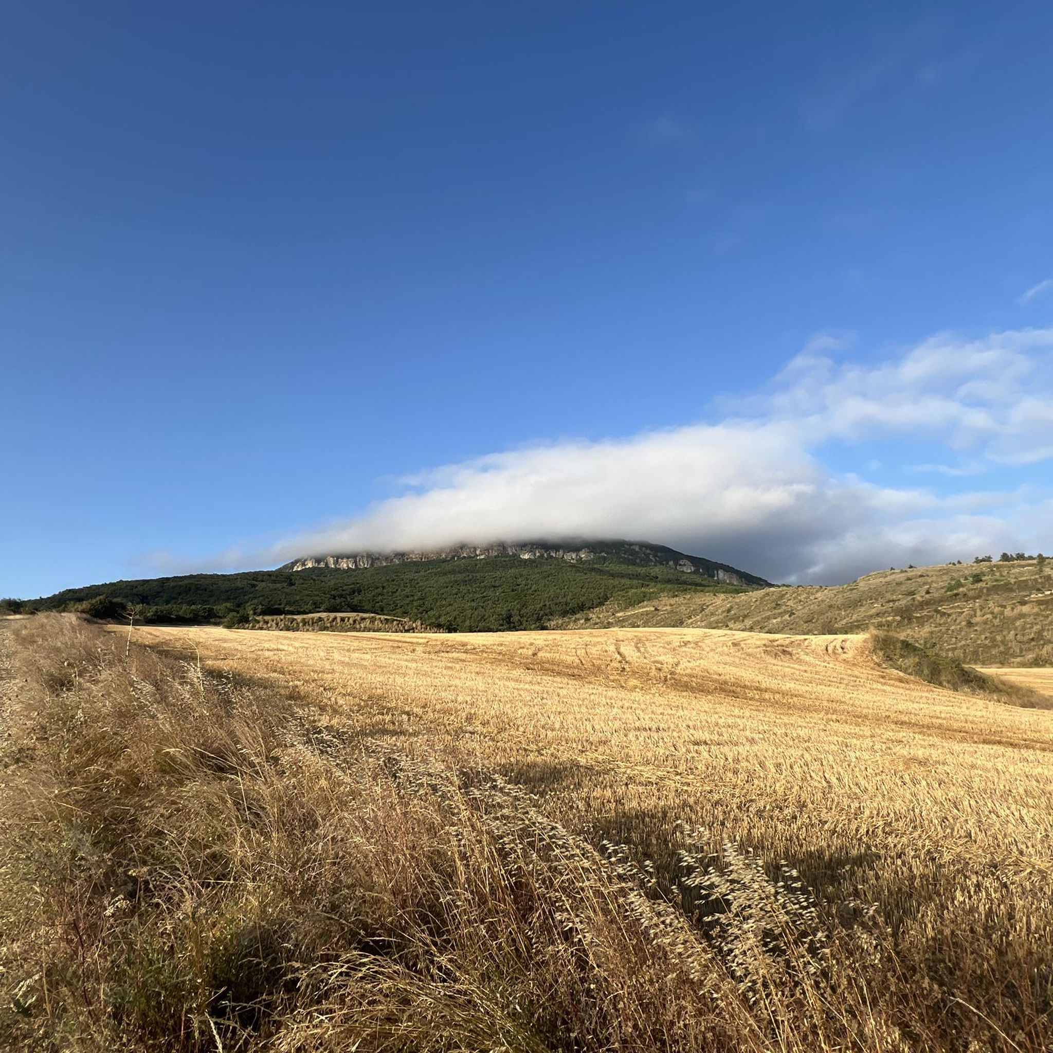
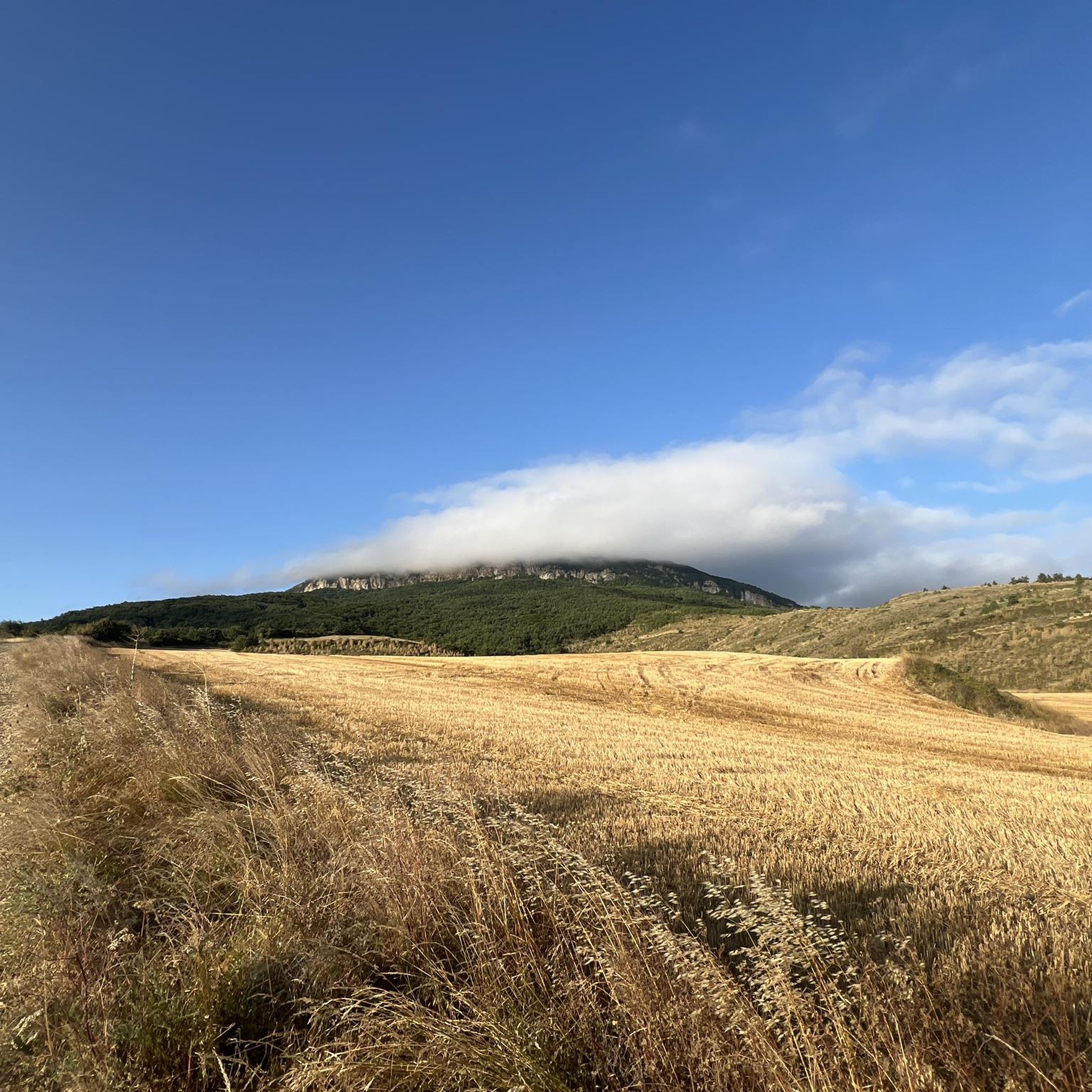
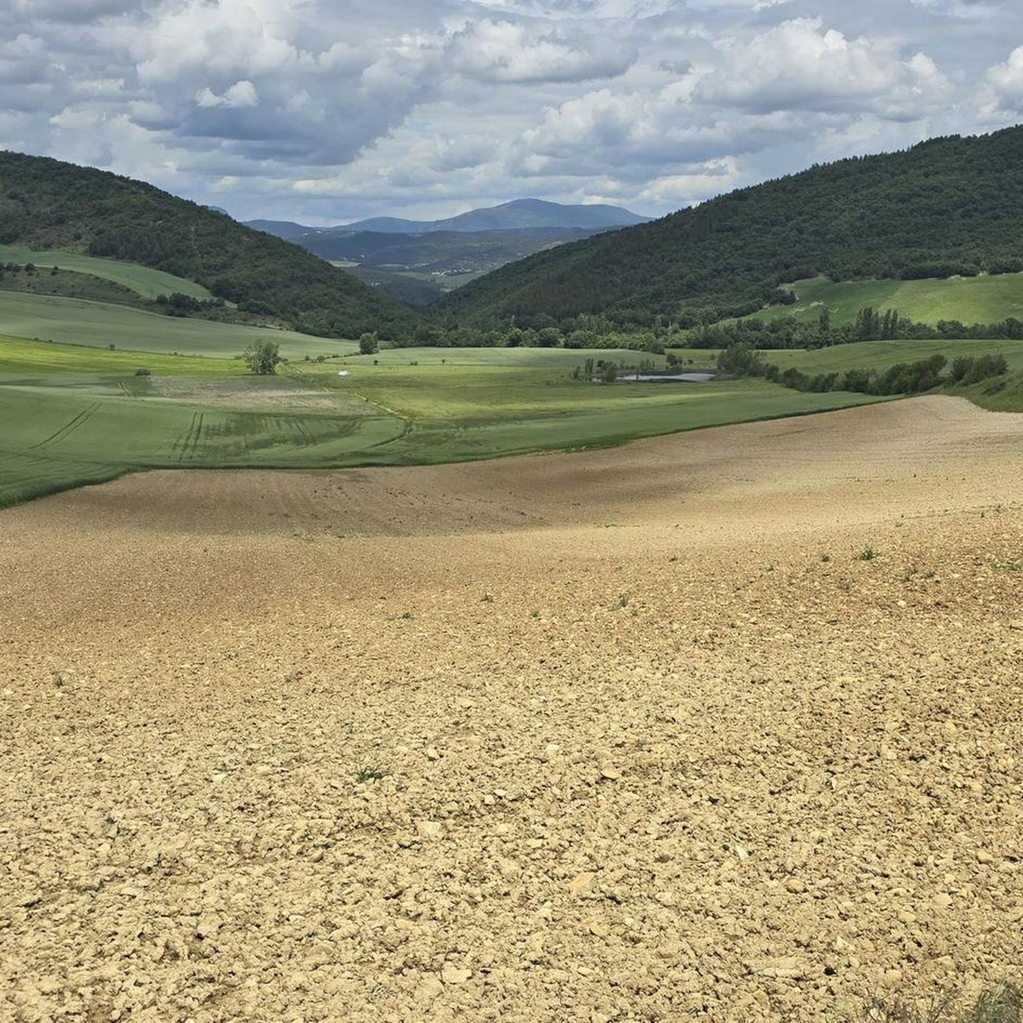
Hiking around Izagaondoa offers diverse landscapes, characterized by mountain ranges, varied forests, and cultivated fields. The region features prominent natural landmarks like the Sierra de Izco, with its highest point Antxurda (1035 m), and the Sierra de Tajonar to the south. Hikers can experience transitions from Atlantic-influenced vegetation to Mediterranean flora, including pine, oak, and beech groves. Nearby, the Foz de Lumbier Natural Reserve presents impressive limestone gorges carved by the Irati River.
Best hiking trails around Izagaondoa
- The most…
Last updated: July 2, 2026
4.8
(8)
54
hikers
11.8km
04:16
690m
690m
Moderate hike. Good fitness required. Mostly accessible paths. Sure-footedness required.
4.9
(10)
178
hikers
8.72km
03:46
670m
670m
Moderate hike. Good fitness required. Mostly accessible paths. Sure-footedness required.

Sign up for free
4.8
(4)
46
hikers
6.92km
02:33
370m
370m
Moderate hike. Good fitness required. Mostly accessible paths. Sure-footedness required.
36
hikers
12.0km
04:19
700m
700m
Moderate hike. Good fitness required. Mostly accessible paths. Sure-footedness required.
4.5
(4)
19
hikers
5.93km
02:02
270m
270m
Moderate hike. Good fitness required. Mostly accessible paths. Sure-footedness required.
Get access to more routes and recommendations from other explorers.
Sign up for free
Already have an account?
Our route recommendations are based on thousands of hikes, rides, and runs completed by other people on komoot.
Start today with a free account
Your next adventure awaits.
Login or Signup

Tips from the Community

The views from the top are impressive. The difference in altitude from Ardanaz, almost 800 meters. A marvel.
3
0
Solid and surprising hermitage at that altitude. It is worth a visit.
3
0
Always worth a visit. Eye! Now it is strictly prohibited to carry out unauthorized archaeological activities in the area.
5
0
In the town of Laquidain. Worth seeing.
5
0
Stairs to avoid the mud that usually accumulates in the area
3
0
Crossroads, pass between valleys... Very relevant point on this path
4
0
magnificent views. Castle with some interest.
6
0
Combined with the castle of Irulegui it is a morning of the first order.
5
0
Frequently Asked Questions
How many hiking trails are available in Izagaondoa?
Izagaondoa offers a wide variety of hiking opportunities, with over 130 trails to explore. These routes cater to different skill levels, from easy walks to more challenging ascents.
What kind of landscapes can I expect to see while hiking in Izagaondoa?
You'll experience diverse landscapes, including the rugged Sierra de Izco with its pine and beech forests, and the gentler Sierra de Tajonar featuring cultivated fields, oak groves, and pastures. The region marks a fascinating transition between Atlantic-influenced and Mediterranean climates, offering a rich blend of ecosystems.
Are there any easy hiking trails suitable for beginners or families?
Yes, Izagaondoa has approximately 38 easy hiking routes. The nearby Foz de Lumbier (Lumbier Gorge) is particularly noted as a family-friendly option, offering well-maintained trails along a former railway line with a great reward-effort ratio.
Can I find circular hiking routes in Izagaondoa?
Many of the trails in Izagaondoa are circular, allowing you to start and end at the same point. For example, the Peña Itzaga – circular desde Ardanaz de Izagaondoa is a popular moderate circular route, as is the Hermitage of Saint Michael of Izaga – Itzaga Peak loop from Izagaondoa.
What are some notable natural attractions or viewpoints in the area?
The region boasts several impressive natural features. The Foz de Lumbier (Lumbier Gorge) is a spectacular natural reserve with towering limestone cliffs. You can also find panoramic viewpoints such as the View of Balsa de Ezkotitz and the View of Higa de Monreal, offering expansive vistas of the surrounding valleys and mountains.
Is Izagaondoa a good destination for birdwatching?
Absolutely. The Foz de Lumbier (Lumbier Gorge) is a significant site for birdwatching, particularly known for its colonies of griffon vultures and Egyptian vultures, which can often be seen soaring above the cliffs. You can even find a highlight specifically for Vultures in the Foz de Lumbier Nature Reserve.
Are there any specific considerations for hiking with dogs in Izagaondoa?
While many trails in natural areas are generally dog-friendly, it's always advisable to keep dogs on a leash, especially in areas with wildlife or livestock. Be mindful of local regulations, particularly within natural reserves like the Foz de Lumbier, to ensure a pleasant experience for everyone.
What is the best time of year to go hiking in Izagaondoa?
The diverse climate means hiking is enjoyable through much of the year. Spring and autumn offer pleasant temperatures and vibrant scenery, with blooming flora or changing leaves. Summer can be warm, but higher elevation trails in the Sierra de Izco might offer cooler conditions. Winter hiking is possible, especially on lower routes, but check local conditions for snow or ice in the mountains.
What do other hikers say about the trails in Izagaondoa?
The trails in Izagaondoa are highly rated by the komoot community, with an average score of 4.5 stars from over 440 reviews. Hikers often praise the varied terrain, the stunning views from peaks like Itzaga Peak, and the rich natural beauty of the region.
Are there any longer or more challenging hikes for experienced hikers?
Yes, for experienced hikers seeking a challenge, there are 21 difficult routes in the area. The ascent to Itzaga Peak, the highest point of the Sierra de Izco, offers significant elevation gain and rewarding views. Routes like Hermitage of Saint Michael of Izaga – Itzaga Peak loop from Zuazu provide a substantial workout.
How can I reach the trailheads, and is parking available?
Many trailheads in Izagaondoa are accessible by car, and parking is generally available in or near the villages that serve as starting points for hikes, such as Ardanaz de Izagaondoa, Izco, or Laquidáin. While public transport options might be limited to some larger towns, driving offers the most flexibility to reach various trailheads across the region.
What kind of vegetation can I expect to see on the trails?
The vegetation varies significantly across the region. In the Sierra de Izco, you'll find pine and boxwood forests transitioning to beech groves on northern slopes. The Sierra de Tajonar features cultivated fields, pine forests, oak groves, and holm oak forests with a rich undergrowth of boxwood, hawthorn, and grasses, reflecting the blend of Atlantic and Mediterranean influences.
Most popular routes around Izagaondoa
Most popular attractions around Izagaondoa

Get inspired with the komoot mobile app


Explore more
Browse the best Hikes in other regions.
