The best road cycling routes around Montejícar
4.6
(6)
318
riders
32
rides
Road cycling routes around Montejícar traverse diverse landscapes within the Granada region of Andalusia. The area features varied terrain, including mountain roads and quiet rural paths, suitable for road cyclists. Proximity to Sierra Mágina Natural Park provides scenic backdrops and challenging climbs. The broader Andalusian topography contributes to routes with significant elevation changes and views of mountain landscapes.
Best road cycling routes around Montejícar
- The most popular road cycling route is Surrounding the Rio Guadahortuna — circular via Alamedilla and…
Last updated: July 7, 2026
5.0
(1)
8
riders
Hard road ride. Very good fitness required. Mostly well-paved surfaces and easy to ride.
5
riders
98.7km
04:55
1,580m
1,580m
This difficult 61.3-mile road cycling route through Sierra Mágina offers panoramic views and challenging climbs past charming Andalusian vil

Sign up for free
16
riders
125km
05:54
1,570m
1,570m
Hard road ride. Very good fitness required. Mostly well-paved surfaces and easy to ride.
5.0
(1)
19
riders
61.1km
02:57
830m
830m
Moderate road ride. Good fitness required. Mostly well-paved surfaces and easy to ride.
14
riders
64.5km
03:20
1,160m
1,160m
Hard road ride. Very good fitness required. Mostly well-paved surfaces and easy to ride.
Get access to more routes and recommendations from other explorers.
Sign up for free
Already have an account?
Our route recommendations are based on thousands of hikes, rides, and runs completed by other people on komoot.
Start today with a free account
Your next adventure awaits.
Login or Signup

Tips from the Community


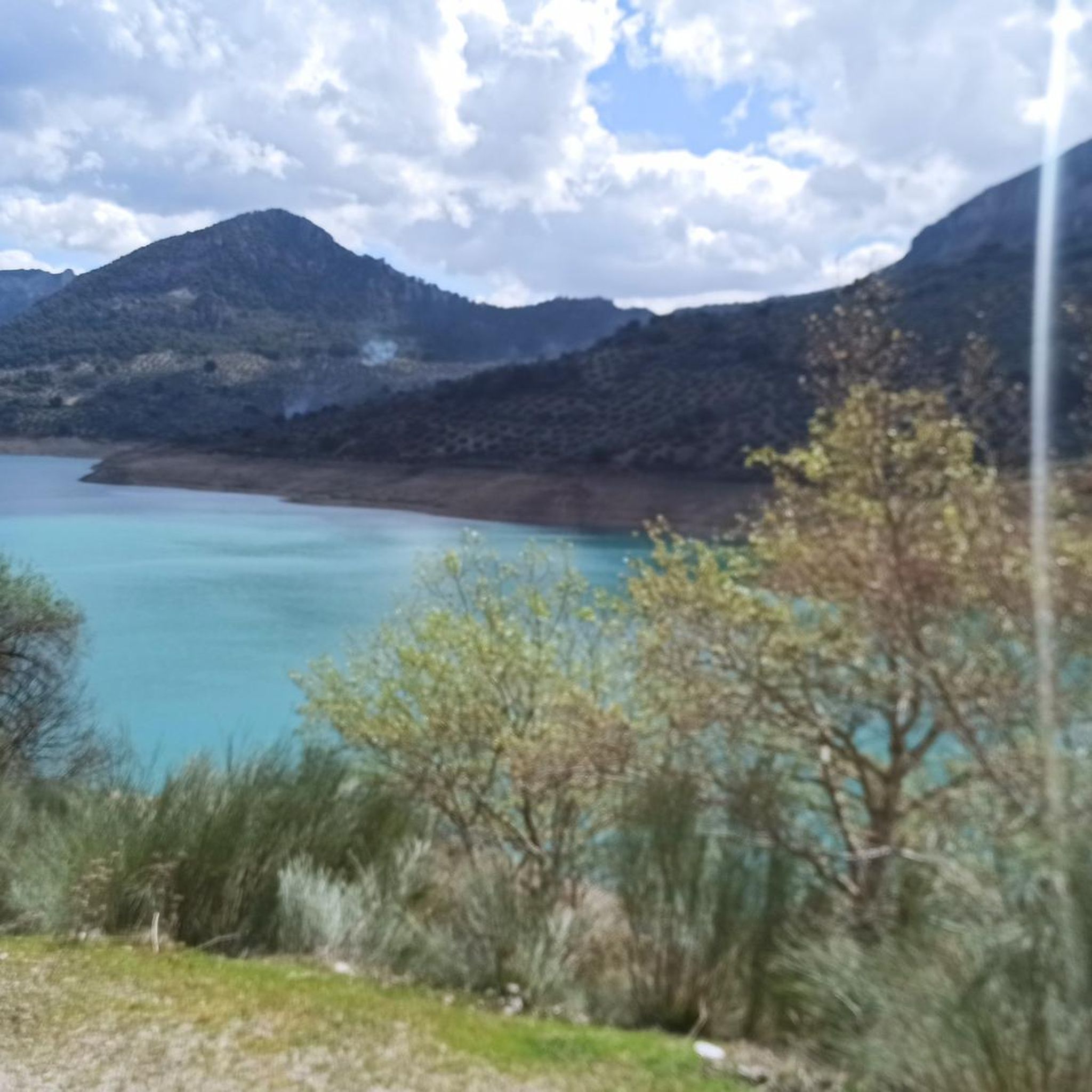
The Cubillas Reservoir extends across the municipalities of Albolote and Atarfe. It was built in 1956 and is primarily used for water supply and agricultural irrigation. The reservoir has an area of 194 hectares and a maximum depth of approximately 20 meters. The reservoir's main tributary is the Cubillas River. The reservoir's surroundings are characterized by pine forests, oak trees, and Mediterranean vegetation, and the lake is an important habitat for many fish species. The Cubillas Reservoir also serves as a resting place for various bird species, including the Great Cormorant and the Dunnock. The reservoir offers numerous recreational opportunities, including sailing, windsurfing, canoeing, jet skiing, and water skiing. There is a large picnic area on the shore and a restaurant overlooking the lake.
2
1


Birth from water to floods.
3
0

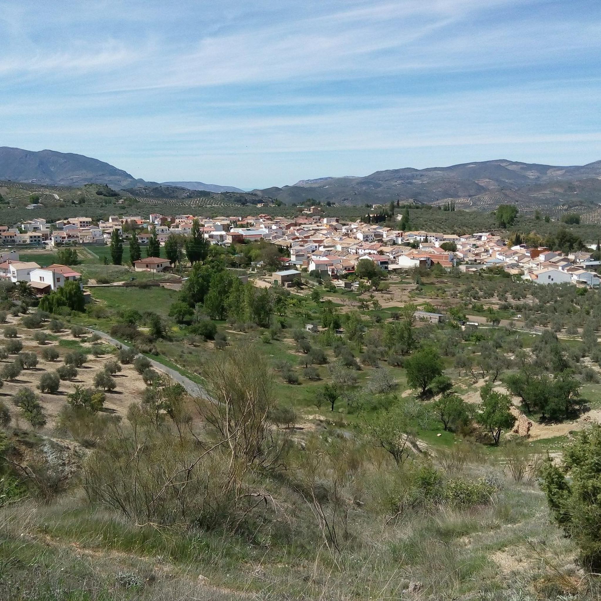
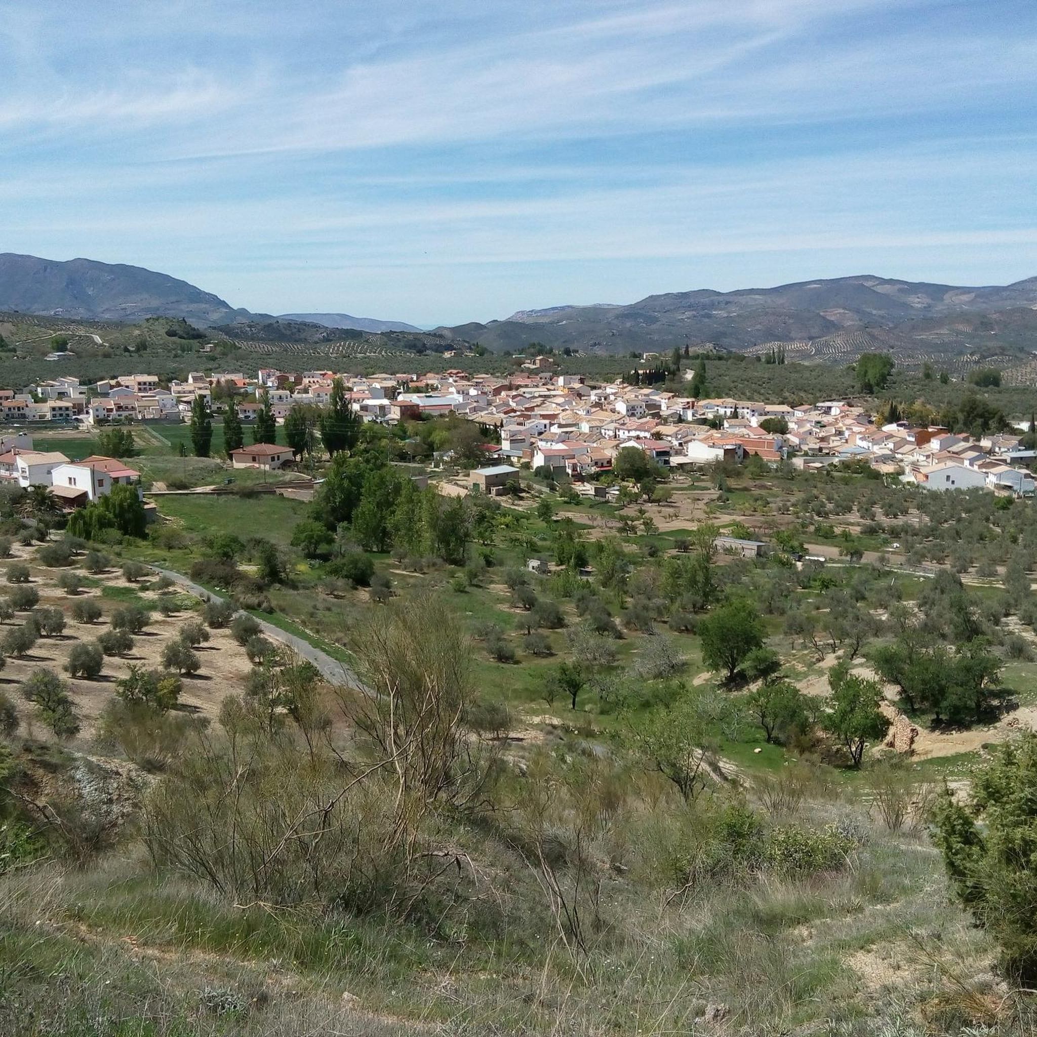
Cambil is a town that preserves many remains of Arab origin, among which is its castle. Located in a small valley, it is a cold place in winter but cool in summer.
11
0
It is a roundabout as a welcome to the town of Cambil
10
0
It is a park with elements for the enjoyment of the little ones with a fountain and shades to rest.
8
0
From the top of the hill, Huelma Castle secretly monitors the movements of the town's citizens
8
0
Frequently Asked Questions
How many road cycling routes are available around Montejícar?
There are over 30 road cycling routes around Montejícar, offering a variety of experiences. These routes are highly rated by the komoot community, with an average score of 4.5 stars.
What kind of terrain can I expect on road cycling routes near Montejícar?
The Montejícar area, situated in the Granada region of Andalusia, offers diverse terrain for road cycling. You can expect a mix of mountain roads, quiet rural paths, and varied topography, including significant elevation changes and scenic views of mountain landscapes. The broader Andalusian region is known for its stunning mountain landscapes and picturesque white villages.
Are there road cycling routes suitable for different skill levels?
Yes, the routes around Montejícar cater to various skill levels. While there are no easy routes, you'll find 10 moderate routes and 20 difficult routes, ensuring options for both intermediate and advanced cyclists looking for a challenge.
What natural features or landmarks can I see along the road cycling routes?
Many routes offer views of the Sierra Mágina Natural Park, providing a scenic backdrop. You might also encounter historical water features like the ancient spring of Fuente Cabra, which has supplied water to Montejícar for centuries. The area also features the Water trough at the entrance to the village of Arbuniel and the Old public washhouse of Arbuniel.
Are there any historical sites to explore while cycling?
Yes, beyond natural beauty, Montejícar offers glimpses into its past. You can explore nearby towns like Cambil, which preserves notable remains of Arab origin, including its castle. The Cortijo El Torcal, historically a resting point for muleteers, is another interesting historical site.
Are there challenging road cycling routes with significant elevation gains?
Absolutely. Many routes around Montejícar feature significant elevation gains. For example, the Sierra Mágina Park Loop is a difficult 61.3-mile (98.7 km) path with over 1500 meters of ascent, offering demanding climbs and scenic views within the natural park.
Can I find moderate road cycling routes around Montejícar?
Yes, there are 10 moderate road cycling routes available. An example is the Parque de la Calesera – Cabra del Santo Cristo loop from Huelma, a 37.5-mile (60.3 km) route with over 800 meters of elevation gain, suitable for those seeking a less intense but still engaging ride.
What are some longer road cycling routes for experienced riders?
Experienced riders looking for longer distances can tackle routes like the Roman Dam of Barcinas – Cubillas Reservoir loop from Montejícar. This challenging route spans 110.6 miles (178.0 km) and typically takes over 8 hours to complete, leading through areas with historical water features.
What is the best time of year for road cycling in Montejícar?
The Montejícar area benefits from a warm climate, making it conducive to year-round exploration. However, spring and autumn generally offer the most pleasant temperatures for road cycling, avoiding the peak heat of summer while still enjoying the region's favorable weather.
Are there any circular road cycling routes starting from Montejícar?
Yes, many routes are designed as loops. For instance, the popular Surrounding the Rio Guadahortuna — circular via Alamedilla and Dehesas de Guadix is a 49.6-mile (79.9 km) circular route that explores river valleys and passes through local towns.
What do other road cyclists appreciate about the routes in Montejícar?
The road cycling routes in Montejícar are highly rated by the komoot community, with an average score of 4.5 stars from 5 reviews. Cyclists often praise the varied terrain, the quiet roads, and the beautiful mountain landscapes that define the region, making for a rewarding cycling experience.
Most popular attractions around Montejícar

Get inspired with the komoot mobile app


Explore more
Browse the best Road cycling routes in other regions.
