The best walks and hikes around Arróniz
4.3
(396)
3,292
hikers
117
hikes
Hiking around Arróniz offers diverse terrain, from gently undulating hills to more challenging ascents. The region is characterized by prominent local elevations such as the Arosa, Santa Cruz, Aranbelza, and Montejurra hills, alongside numerous streams. Arróniz also serves as a base for exploring significant natural features like the Irati Forest, Urbasa-Andía Nature Park, Foz de Lumbier Gorge, and the Bardenas Reales Natural Park. This varied landscape provides a range of hiking experiences.
Best hiking trails around Arróniz
- The most popular…
Last updated: October 5, 2026
4.6
(9)
88
hikers
14.9km
04:13
310m
310m
Moderate hike. Good fitness required. Easily-accessible paths. Suitable for all skill levels.
4.7
(178)
1,384
hikers
28.6km
08:12
660m
660m
Hard hike. Very good fitness required. Easily-accessible paths. Suitable for all skill levels.

4.4
(5)
40
hikers
Easy hike. Great for any fitness level. Easily-accessible paths. Suitable for all skill levels.
33
hikers
16.3km
04:43
410m
410m
Moderate hike. Good fitness required. Easily-accessible paths. Suitable for all skill levels.
4.5
(4)
17
hikers
15.2km
04:09
230m
230m
Moderate hike. Good fitness required. Easily-accessible paths. Suitable for all skill levels.
Get access to more routes and recommendations from other explorers.
Already have an account?
Our route recommendations are based on thousands of hikes, rides, and runs completed by other people on komoot.
Start today with a free account
Your next adventure awaits.
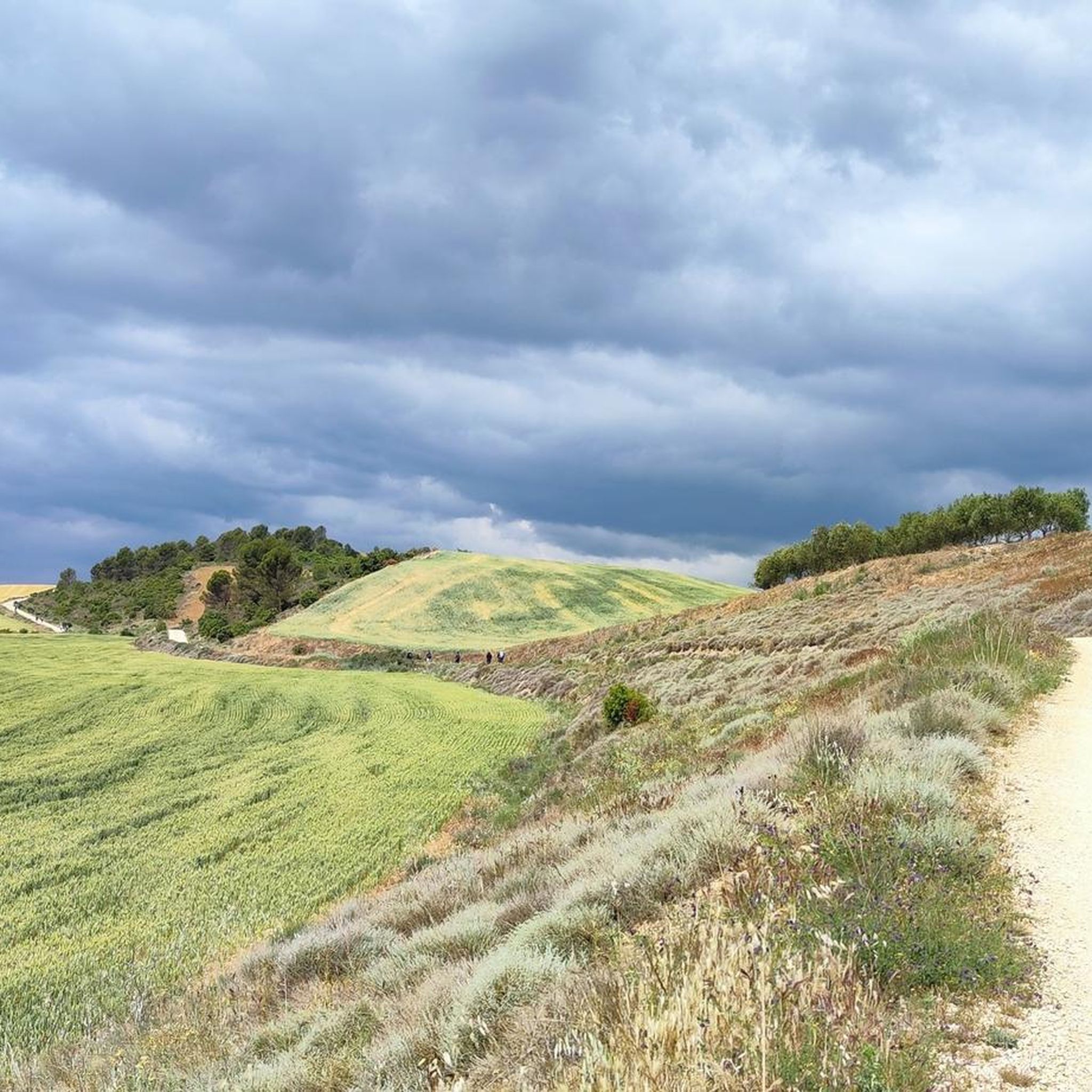
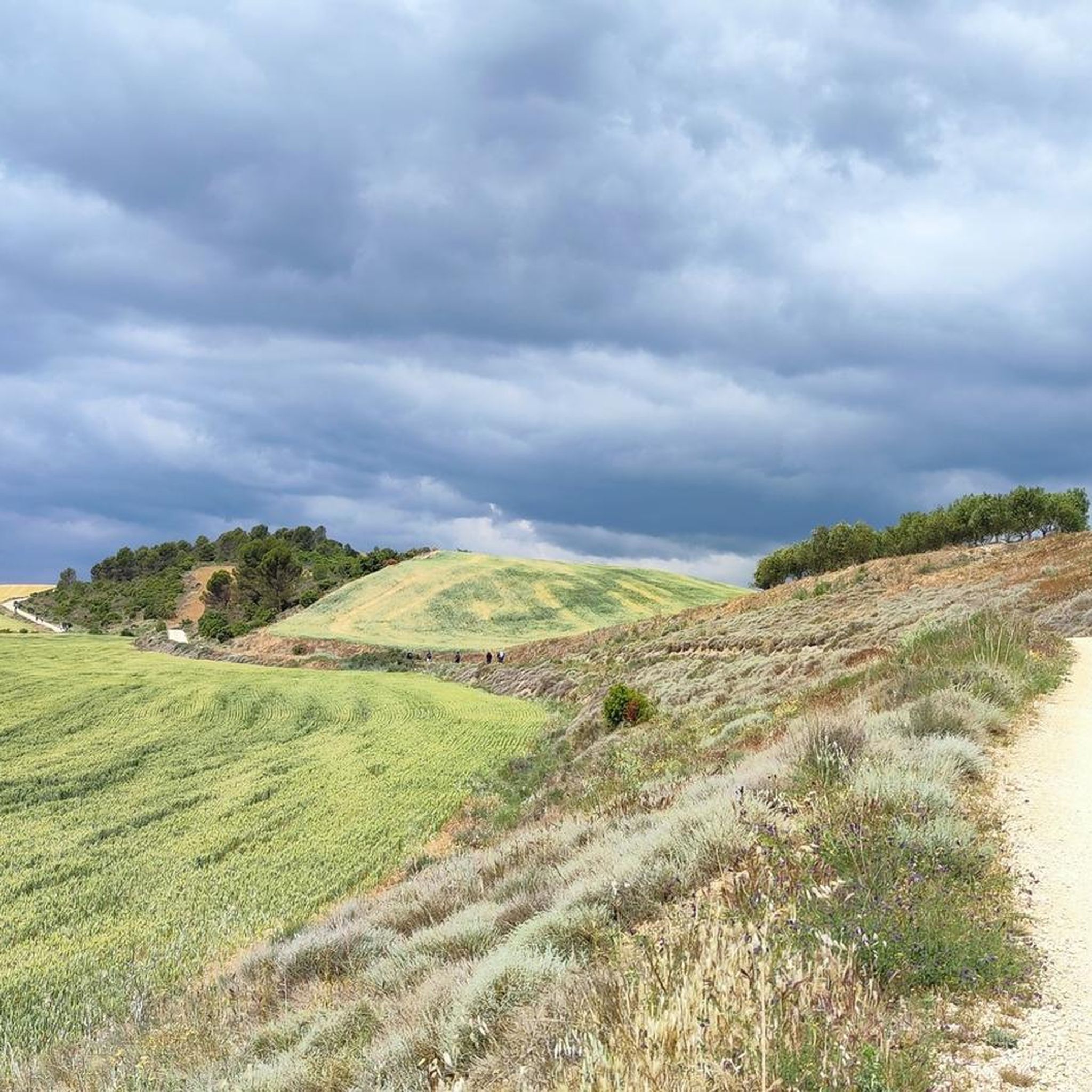
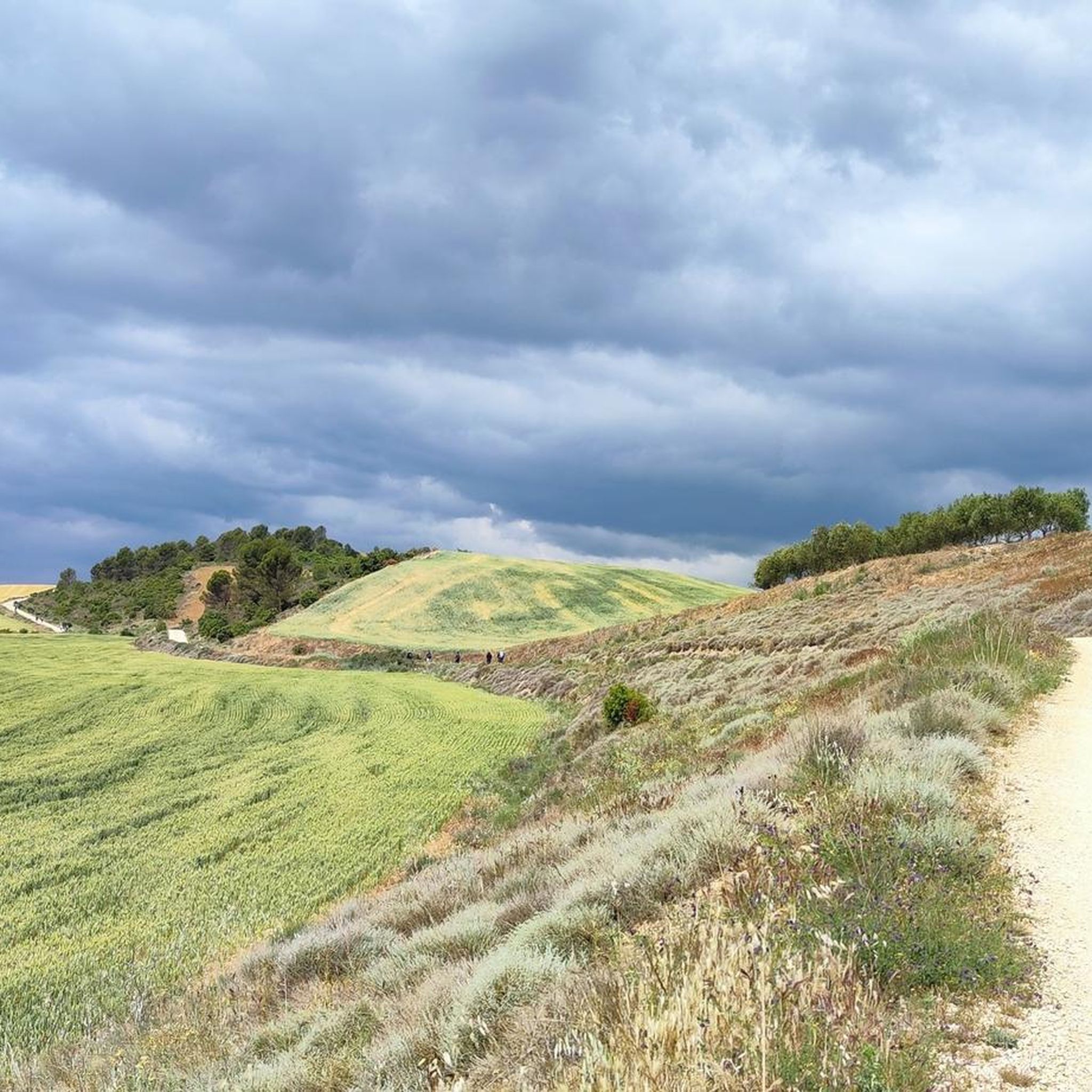

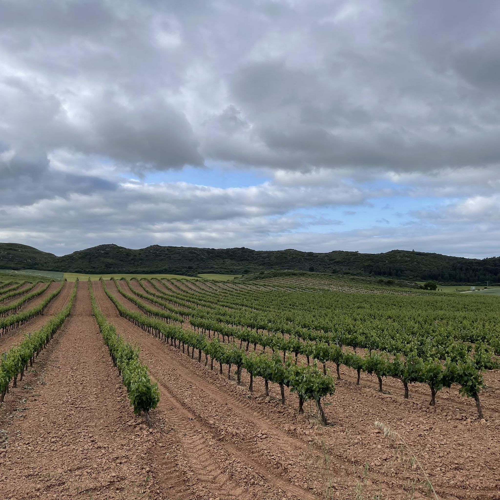
Tips from the Community

Evocative remains of an ancient hermitage that stands solitary shortly before Los Arcos. Amidst stones worn by time and traces of ancient walls, this silent place tells the story and spirituality of the Camino, offering a suggestive pause before arriving in Los Arcos.
0
0

Quiet municipality on the Camino de Santiago if you are looking for rest.
0
0
Los Arcos is a welcoming municipality. In the municipality, they have developed an interpretive route of the coats of arms that can be seen throughout the municipality. At the Town Hall, there is information about the route and a map showing the aforementioned route. Furthermore, it is interesting to visit the church of Santa María.
0
0


The Monastery of Santa María la Real de Irache is a former Benedictine monastery near the small town of Estella in the northern Spanish province of Navarre. It is located on the Camino Francés and was an important pilgrimage center in the Middle Ages. The former monastery winery, in recognition of the tradition of Benedictine hospitality it intends to continue, has installed a "Fuente del Vino," or wine fountain, at this location. Pilgrims are welcome to help themselves to free water and wine.
0
0
Frequently Asked Questions
How many hiking trails are available around Arróniz?
There are nearly 100 hiking trails around Arróniz, offering a wide range of options for all skill levels. These include 31 easy routes, 49 moderate routes, and 14 difficult trails.
What kind of terrain can I expect when hiking near Arróniz?
The terrain around Arróniz is diverse, characterized by gently undulating Miocene material, prominent local elevations like the Arosa, Santa Cruz, Aranbelza, and Montejurra hills, and numerous streams. You'll find everything from smoother paths to more challenging ascents.
Are there any easy, family-friendly hikes in the Arróniz area?
Yes, there are several easy routes suitable for families. For instance, the Church of San Andrés Apóstol – Monjardin loop from Villamayor de Monjardín is an easy 4.8 km path that takes about 1 hour 29 minutes. Another option is the To Villamajor – Church of San Andrés Apóstol loop from Villamayor de Monjardín, which is 3.6 km and takes around 1 hour 11 minutes.
What are some notable natural features or viewpoints to look out for on hikes?
The region offers several natural features and viewpoints. You can ascend to the summit of Montejurra for panoramic views. Other notable peaks include San Cipriano and San Millán summit. For stunning vistas, consider the View of the Sierra de Lokiz.
Are there any circular hiking routes around Arróniz?
Yes, many routes in the area are circular. A popular moderate option is the Montejurra Summit – Montejurra loop from Arellano, which is 9.7 km long. For a longer, more challenging circular hike, consider the Irache Fountain – Fuente de los Moros loop from Villamayor de Monjardín.
What cultural or historical attractions can I visit while hiking in the area?
You can integrate cultural and historical attractions into your hikes. The unique Irache Fountain, where wine flows daily, is a popular stop. The historic Fuente de los Moros is another significant point. Additionally, the medieval city of Estella-Lizarra, with its Romanesque architecture like the Iglesia de San Pedro de la Rúa, is nearby and offers rich cultural value.
What do other hikers enjoy most about hiking in Arróniz?
The area is highly rated by the komoot community, with an average score of 4.4 stars from over 100 reviews. Hikers often praise the diverse landscapes, from undulating hills to prominent peaks, and the opportunity to explore both local trails and nearby natural parks.
Can I access major natural parks from Arróniz?
Arróniz serves as an excellent base for accessing some of Navarre's most spectacular natural attractions. These include the Irati Forest, known for its ancient beech and spruce trees, the Urbasa-Andía Nature Park with the source of the Urederra River, and the Foz de Lumbier Gorge, famous for griffon vultures. The striking desert landscape of Bardenas Reales Natural Park is also within reach.
Are there any challenging hikes for experienced trekkers?
Yes, there are challenging options for experienced hikers. The Irache Fountain – Fuente de los Moros loop from Villamayor de Monjardín is a difficult 28.1 km trail with a significant elevation gain, typically taking nearly 8 hours to complete.
What is the best time of year to go hiking in Arróniz?
While specific seasonal conditions can vary, the varied terrain of Arróniz makes it suitable for hiking across different seasons. Spring and autumn generally offer pleasant temperatures and vibrant scenery, while summer can be warm. Winter hiking is possible, but it's always advisable to check local weather conditions and trail status before heading out.
Are there any trails that pass by castles or historic ruins?
Yes, some routes offer views of or pass by historical sites. For example, the Monjardin castle is a notable landmark in the area. The nearby city of Estella-Lizarra also features significant Romanesque architecture.
Are there any trails that offer views of the surrounding valleys or plains?
Many trails in the Arróniz region, especially those ascending local elevations like Montejurra, provide excellent views of the Solana valley and the surrounding undulating plains. The geological makeup of the area ensures diverse vistas throughout your hike.
Most popular attractions around Arróniz

Get inspired with the komoot mobile app


Explore more
Browse the best Hikes in other regions.
