The best road cycling routes around San Sadurniño
4.1
(53)
1,911
riders
69
rides
Road cycling routes around San Sadurniño traverse a landscape characterized by verdant river valleys, rolling green hills, and natural viewpoints. The municipality is situated in a valley carved by the Rio Grande de Xuvia and the Rio Castro, offering varied terrain for cyclists. Elevated spots like Coto Agudo and Pico San Vicente provide panoramic vistas over the surrounding countryside and coastline, making for scenic road bike routes San Sadurniño viewpoints.
Best road cycling routes around San Sadurniño
- The most popular…
Last updated: July 9, 2026
39
riders
55.4km
02:58
980m
980m
Hard road ride. Very good fitness required. Mostly well-paved surfaces and easy to ride.
25
riders
40.3km
02:08
650m
650m
Moderate road ride. Good fitness required. Mostly well-paved surfaces and easy to ride.

Sign up for free
9
riders
73.4km
04:00
1,420m
1,420m
Hard road ride. Very good fitness required. Mostly well-paved surfaces and easy to ride.
10
riders
21.5km
01:03
300m
300m
Easy road ride. Great for any fitness level. Mostly well-paved surfaces and easy to ride.
9
riders
61.4km
03:21
1,150m
1,150m
Hard road ride. Very good fitness required. Mostly well-paved surfaces and easy to ride.
Get access to more routes and recommendations from other explorers.
Sign up for free
Already have an account?
Our route recommendations are based on thousands of hikes, rides, and runs completed by other people on komoot.
Start today with a free account
Your next adventure awaits.
Login or Signup

Other adventures around San Sadurniño

Tips from the Community

beautiful beach areas directly at Cedeira
0
0

The viewpoint of the Cedeira estuary is one of the advantages of getting away from the main roads and pedaling with the aim of enjoying the road. From this high point next to the road, there is an unforgettable view of the estuary of the estuary and its cove.
1
0

Ascent of 4.22km with a positive drop of 274m with an average slope of 6.5%
1
0
Final mill on the river Xuvia also known as Rio Grande de Xubia, its discharge of water is responsible for the formation of the Ria de Ferrol. This unique mill was probably the main producer of flour in Galicia and the entire country for many decades, producing up to 172,500 kg a year, feeding a large part of the Ferrol region.
1
0
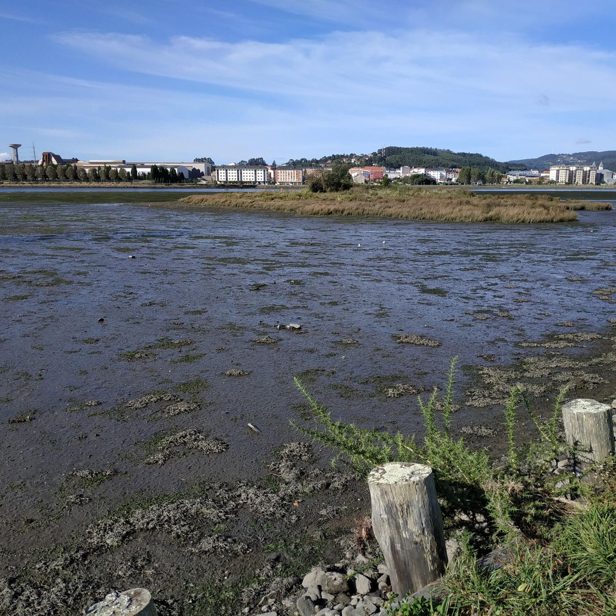
Famous for being the home of the Spanish army, the Ría de Ferrol and its unique characteristics have been the center of economic life
1
0

Nature walk to see the castle ruins. worth the ride
4
2

Sweeping vistas from this roadside overlook down to the estuary and the coast beyond
0
0

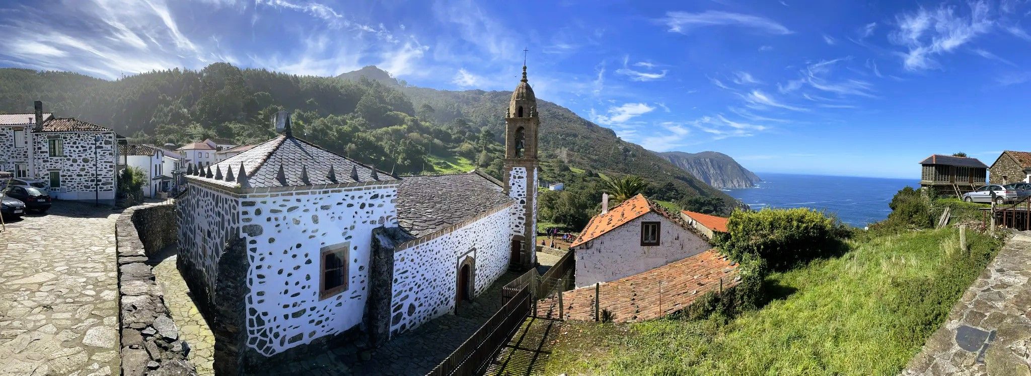
According to legend, the people who live on the coast are children of whales and fish .... Surrounded by cliffs up to 600 meters high, the small town lies in the bay.
2
0
Frequently Asked Questions
How many road cycling routes are available in San Sadurniño?
San Sadurniño offers a wide selection of road cycling routes, with over 70 tours available on komoot. These routes cater to various skill levels, from moderate to difficult.
What kind of terrain can I expect on road cycling routes in San Sadurniño?
The region is characterized by verdant river valleys, rolling green hills, and natural viewpoints. You'll encounter varied terrain, including climbs to elevated spots like Coto Agudo and Pico San Vicente, offering panoramic vistas.
Are there any family-friendly road cycling routes in San Sadurniño?
While many routes in San Sadurniño are moderate to difficult, there are a few easier options available. For a more relaxed ride, consider exploring routes that stick to the river valleys, which tend to have gentler gradients.
What are some scenic viewpoints accessible by road bike in San Sadurniño?
Many routes offer stunning views. For example, the Paraño Viewpoint – Xuvia Promenade loop from Valdoviño leads through river valleys and past scenic overlooks. Elevated spots like Coto Agudo and Pico San Vicente also provide panoramic vistas.
What do other road cyclists say about the routes in San Sadurniño?
The road cycling routes in San Sadurniño are highly rated by the komoot community, with an average score of 4.1 stars from over 30 reviews. Cyclists often praise the varied terrain and the beautiful natural scenery.
Are there any circular road cycling routes in San Sadurniño?
Yes, many of the road cycling routes in San Sadurniño are designed as loops. A popular option is the Castillo de Naraío – O Roxal loop from Pedroso, which is a challenging 55.4 km ride.
What historical or natural attractions can I see along the road cycling routes?
You can combine your ride with visits to interesting landmarks. The Castillo de Naraío – O Roxal loop from Pedroso passes by the historic Naraío Castle. You might also encounter natural highlights like the Frouxeira Lagoon or the As Pontes Lake on other routes.
Are there any long-distance road cycling routes for advanced riders?
For advanced riders seeking a challenge, the region offers extensive routes. The View of A Lameira at sunset – Lago de As Pontes loop from As Ferrerías is a difficult 104.7 km path with significant elevation gain, circling the Lago de As Pontes.
What is the best time of year for road cycling in San Sadurniño?
The region's mild climate generally makes it suitable for road cycling for much of the year. Spring and autumn often offer pleasant temperatures and lush green landscapes, ideal for exploring the river valleys and hills.
Are there any routes that offer views of the coastline or estuaries?
Yes, some routes extend towards the coast, providing beautiful views. The View of Praia de Vilarrube – Viewpoint over the Cedeira estuary loop from Ferrol is a challenging route that offers coastal vistas.
Can I find moderate difficulty road cycling routes in San Sadurniño?
Absolutely. A significant portion of the routes, 36 out of 70, are rated as moderate. An example is the O Roxal loop from A Fervenza, which covers 32 km with a moderate difficulty.
Most popular routes around San Sadurniño
Most popular attractions around San Sadurniño

Get inspired with the komoot mobile app


Explore more
Browse the best Road cycling routes in other regions.
