The best running trails around Cabeza Del Buey
35
runners
7
runs
Jogging around Cabeza Del Buey offers a diverse landscape for runners, characterized by rolling hills and varied terrain. The region features routes with notable elevation gains, including trails that ascend to points like Cerro Masatrigo and Peñón del Pez. These running routes provide opportunities to explore both botanical areas and historical sites.
Best jogging routes around Cabeza Del Buey
- The most popular jogging route is Cerro Masatrigo Botanical Trail, a 4.2 miles (6.8 km) trail that takes 49 minutes…
Last updated: October 10, 2026
3
runners
6.80km
00:49
170m
170m
Jogging the difficult 4.2-mile Cerro Masatrigo botanical trail offers panoramic views of La Serena reservoir around the iconic "Magic Mounta
8.73km
01:13
360m
360m
Hard run. Very good fitness required. Sure-footedness, sturdy shoes and alpine experience required.

5.43km
00:40
200m
200m
This moderate 3.4-mile trail run from Cabeza Del Buey to Ermita del Calvario offers panoramic views and beautiful sunsets.
3
runners
13.4km
01:28
170m
170m
Moderate run. Good fitness required. Mostly paved surfaces. Suitable for all skill levels.
3
runners
13.8km
01:41
320m
320m
Hard run. Very good fitness required. Mostly paved surfaces. Suitable for all skill levels.
Get access to more routes and recommendations from other explorers.
Already have an account?
Our route recommendations are based on thousands of hikes, rides, and runs completed by other people on komoot.
Start today with a free account
Your next adventure awaits.
Tips from the Community

The Ermita del Calvario in Cabeza del Buey is a very special place of worship, located on top of a hill. This hermitage offers stunning views of the surrounding landscape. The route to the hermitage begins on Calle Oriente and winds along the slope of the Sierra del Pedregoso. Along the way, there are 14 crosses that symbolize the stops that Jesus made while carrying the cross before being crucified. The hermitage, built in the 18th century by the Gante family, has recently been restored and houses simple but beautiful paintings inside.
4
0
Peñón del Pez is a rock formation located in the town of Capilla, in the province of Badajoz. This rock is known for its impressive landscape and rich biodiversity, which includes species such as vultures, Bonelli's eagles, black storks and peregrine falcons.
7
0
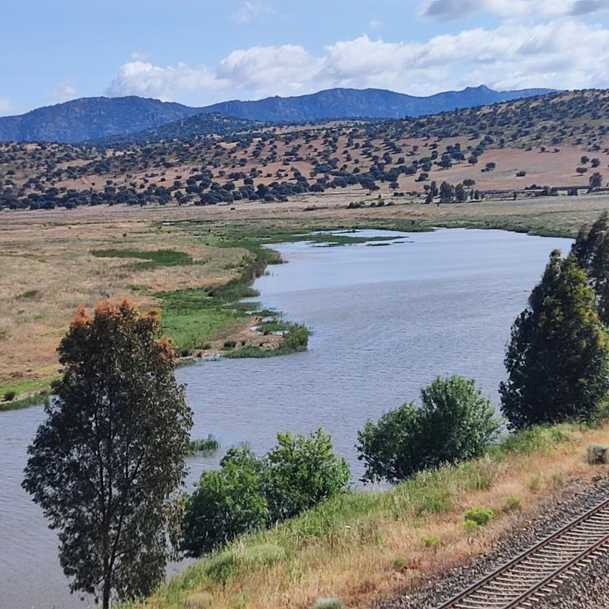
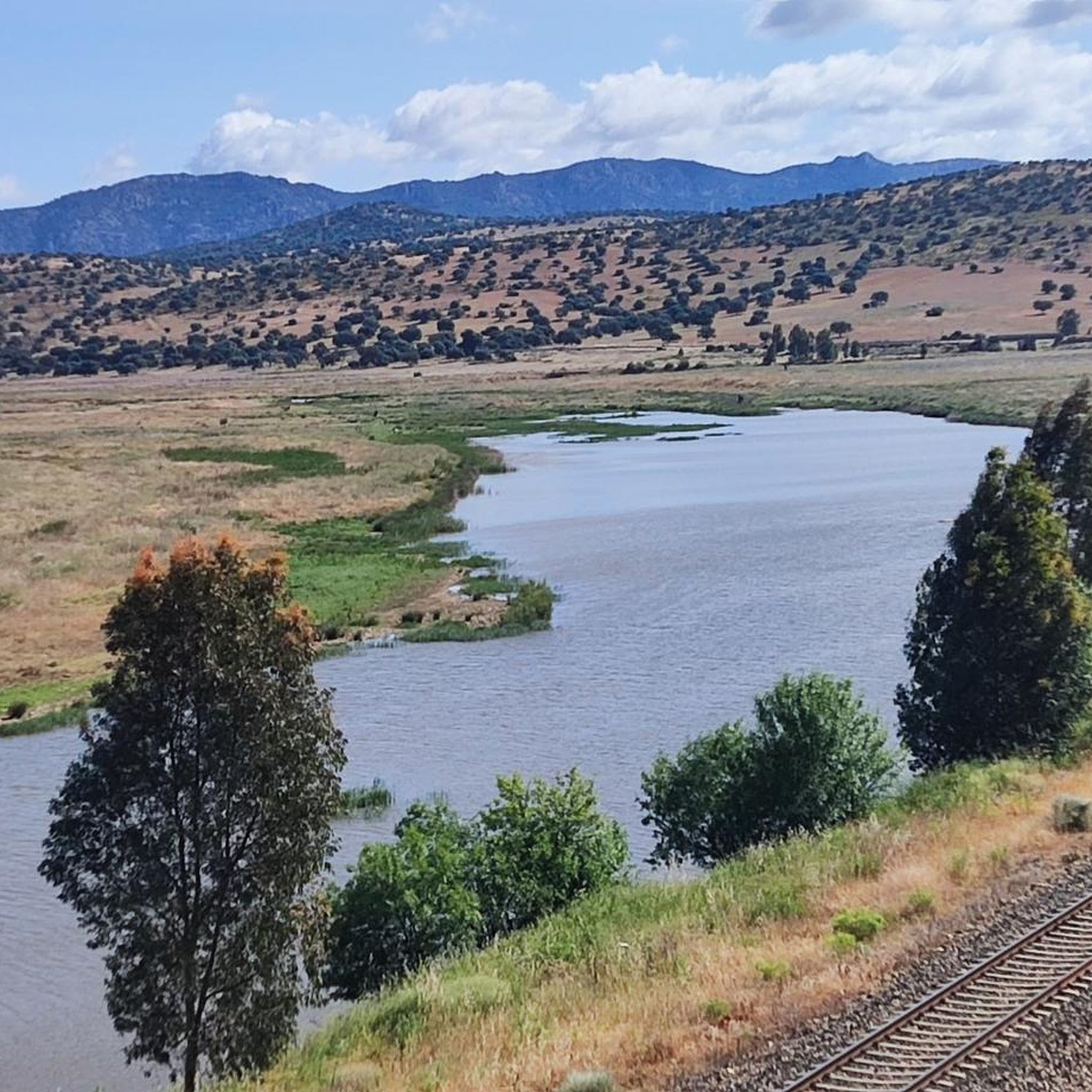
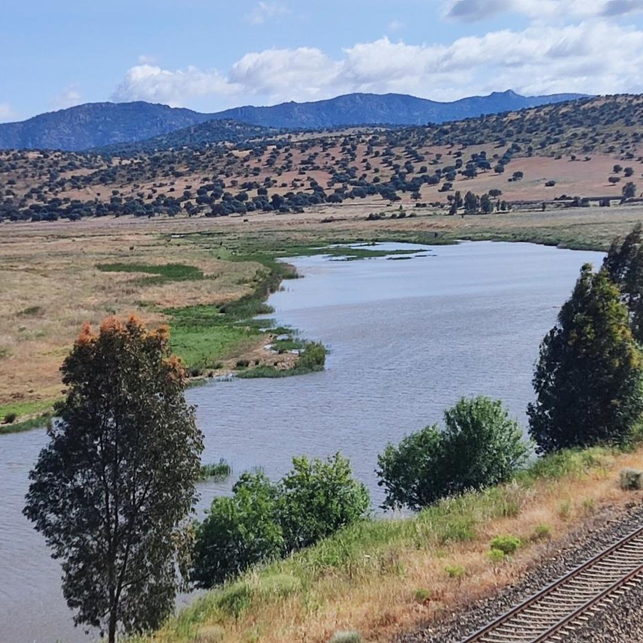
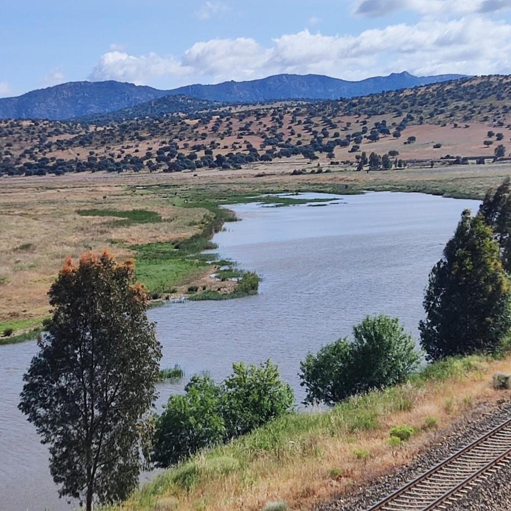
Cerro Masatrigo is a hill located in the municipality of Esparragosa de Lares. This hill is known for its almost perfect conical shape, which has earned it the nickname "the magic mountain" It rises 501 meters above sea level and 161 meters above the surrounding terrain. After the construction of the La Serena Dam, Cerro Masatrigo became a peninsula surrounded by the waters of the reservoir.
7
0

Located in the middle of the La Serena Reservoir and at 501 meters above sea level, it offers us wonderful views at 360 degrees. The Masatrigo hill, for sure, will surprise us with its shape and its curious name. It is called this way because for many its shape is assimilated to a pile of wheat.
1
1

Capilla is a locality that is very close to the Serena Reservoir and within what is called the Sierra de Palanque, a small set of hills that go from the neighboring town of Peñalsordo to Capilla. It is a small town with few inhabitants.
0
0

Located in the middle of the La Serena Reservoir, the Masatrigo hill stands out for its shape and its curious name. It is called this way because for many its shape is assimilated to a pile of wheat. In addition to its curiosities, the top of the hill is 480 meters above sea level and offers wonderful views in all directions.
3
1
The views from up here are truly amazing and a well-deserved reward for the effort to get here. The ascent has complicated sectors with technical difficulty but that can be overcome without problems, remember to go with a firm step and taking care of the loose rocks.
2
1
The Hermitage of Calvario is located on the cliff of the Majada de la Peña that flanks the entire valley of the town of Cabeza del Buey. The panoramic views of the town and the Cabeza de la Alamgrera are amazing and worthy of postcards.
3
0
Frequently Asked Questions
What is the general difficulty level of running routes in Cabeza Del Buey?
The running routes around Cabeza Del Buey are generally challenging. Out of the 7 routes available, 5 are classified as difficult, and 2 are moderate. There are no easy routes listed, indicating that most trails involve significant elevation changes and varied terrain.
Are there any circular running routes in the Cabeza Del Buey area?
Yes, several routes in the region are circular. For example, the Peñón del Pez – running circular from Peñalsordo is a difficult 5.4-mile loop offering panoramic views. Another option is the moderate Collado de Santa Ana loop from Peñalsordo, which covers about 8.3 miles.
What kind of scenery can I expect on the jogging trails around Cabeza Del Buey?
Jogging routes in Cabeza Del Buey offer diverse scenery, characterized by rolling hills, varied terrain, and botanical areas. You can expect trails with notable elevation gains, leading to points like Cerro Masatrigo, and paths that explore both natural landscapes and historical sites.
What are some notable landmarks or attractions I might see while running in Cabeza Del Buey?
Many routes offer views of significant natural and historical landmarks. You might encounter natural features like Cerro Masatrigo or the Masatrigo Mountain and La Serena Reservoir. Historical sites include castles such as Castillo de Capilla or the Castle of Puebla de Alcocer, offering glimpses into the region's past.
Are there any longer running routes for experienced runners?
Yes, for experienced runners seeking longer distances, the Capilla and its Castle loop from Peñalsordo is a challenging option, spanning approximately 8.5 miles (13.7 km). Another good choice is the Collado de Santa Ana loop from Peñalsordo, which is about 8.3 miles (13.4 km) and rated moderate.
What is the best time of year to go running in Cabeza Del Buey?
Given the region's climate, the best times for running in Cabeza Del Buey are typically spring (March to May) and autumn (September to November). During these seasons, temperatures are milder and more comfortable for physical activity, avoiding the intense heat of summer and potential chill of winter.
How many running trails are available in the Cabeza Del Buey area?
There are 7 distinct running trails available around Cabeza Del Buey, offering a variety of distances and difficulty levels for runners to explore the region's unique landscape.
What do other runners say about the trails in Cabeza Del Buey?
More than 31 runners have used komoot to explore the varied terrain of Cabeza Del Buey. Users often highlight the challenging nature of the routes, the rewarding panoramic views from higher grounds like Peñón del Pez, and the opportunity to experience both botanical and historical aspects of the region.
Are there any moderate running routes suitable for those looking for less intense challenges?
Yes, while many routes are difficult, there are moderate options. The Ermita del Calvario Trail is a 3.4-mile route with moderate elevation changes. Another moderate choice is the Collado de Santa Ana loop from Peñalsordo, which is longer at 8.3 miles but has a moderate difficulty rating.
Can I find routes that offer significant elevation gain for a more intense workout?
Absolutely. Many routes in Cabeza Del Buey feature notable elevation gains. The Peñón del Pez – running circular from Peñalsordo, for instance, includes significant climbs, offering a strenuous workout and rewarding views from its highest points.
What is the typical length of running routes in Cabeza Del Buey?
The running routes in Cabeza Del Buey vary in length, generally ranging from around 3.4 miles (5.4 km) to 8.5 miles (13.7 km). This variety allows runners to choose routes that fit their preferred distance and training goals.
Most popular attractions around Cabeza Del Buey

Get inspired with the komoot mobile app


Explore more
Browse the best Running Trails & Routes in other regions.
