The best mountain hikes around L'Argentera
5.0
(1)
10
hikers
3
hikes
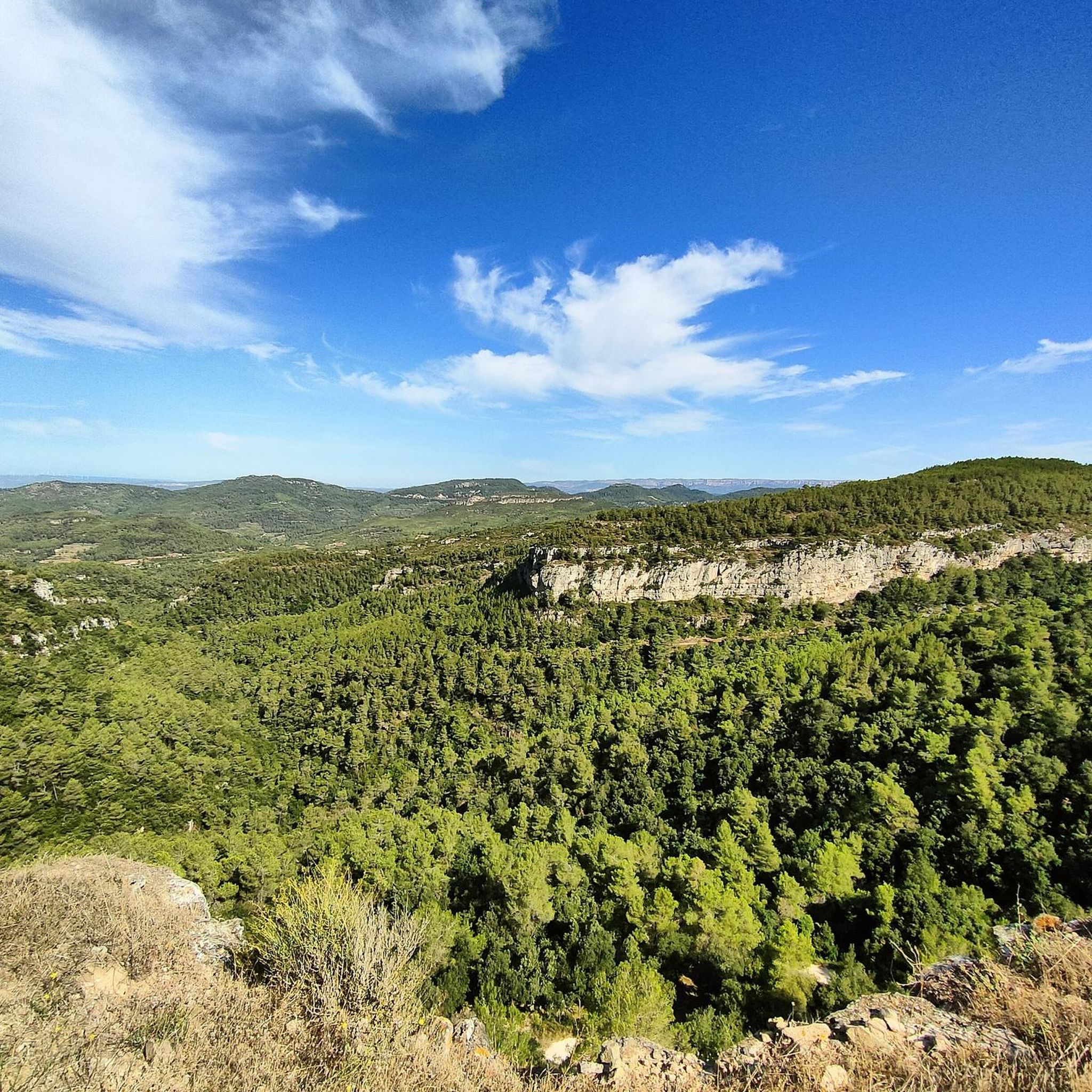
Mountaineering routes around L'Argentera explore the mountainous terrain of the Baix Camp region in Catalonia. The landscape features varied elevations, including hills like La Miranda (918 m) and Cavall Bernat (840 m), offering diverse climbing experiences. Mountaineers can expect paths that traverse natural rock formations and provide panoramic views of the surrounding area. The region's routes are characterized by their challenging ascents and descents, suitable for those seeking a demanding outdoor experience.
Best mountaineering routes around L'Argentera
- The most popular mountaineering route is Mountaineering loop from Colldejou, a 5.2 miles (8.3 km) trail that takes 3 hours 23 minutes to complete. This route features a significant elevation gain of 1,637 ft (499 m) and is rated difficult.
- Another top favourite among local mountaineers is Pla de l'Areny Rock Formations loop from Roca del Pagès, a moderate 3.0 miles (4.9 km) path. This route leads through distinctive rock formations, offering unique geological scenery.
- Local mountaineers also love the La Miranda (918 m) – Cavall Bernat (840 m) loop from Colldejou, a 6.6 miles (10.7 km) trail leading through mountainous terrain, often completed in about 4 hours 37 minutes.
- Mountaineering around L'Argentera is defined by challenging ascents, natural rock formations, and panoramic views from hilltops. The network offers options for different ability levels, from moderate climbs to difficult mountaineering routes.
- The routes in L'Argentera are highly rated by the komoot community with an average score of 5.0 stars from over 1 review. More than 10 mountaineers have used komoot to explore L'Argentera's varied terrain.
Last updated: May 20, 2026
6
hikers
8.34km
03:22
500m
500m
Hard mountaineering route. Good fitness required. Sure-footedness, sturdy shoes and alpine experience required.
5.0
(1)
3
hikers
4.94km
01:41
240m
240m
Moderate mountaineering route. Great for any fitness level. Mostly accessible paths. Sure-footedness required.

Sign up for free
1
hikers
10.7km
04:37
800m
800m
Hard mountaineering route. Good fitness required. Sure-footedness, sturdy shoes and alpine experience required.
Our route recommendations are based on thousands of hikes, rides, and runs completed by other people on komoot.
Start today with a free account
Your next adventure awaits.
Login or Signup
Popular around L'Argentera


Tips from the Community

A wonderful place with impressive views...!!!
0
0

Short stretch on a mix of scree and rock, to be tackled without problems with suitable footwear, also suitable for trained dogs and children accustomed to the mountains
0
0

Easy climb and spectacular views. Worth .
2
0

Highly recommended, there is also a restaurant up here and the view from here is simply amazing.
0
0

From up here you have a beautiful view.
0
0

It is a short section of barely 200 meters located on one of the slopes of the Mola de Colldejou. It runs through a fairly incline pan and ends in a meadow. You have to be careful with loose stones, because in some points it exceeds the 25% inclination.
1
0
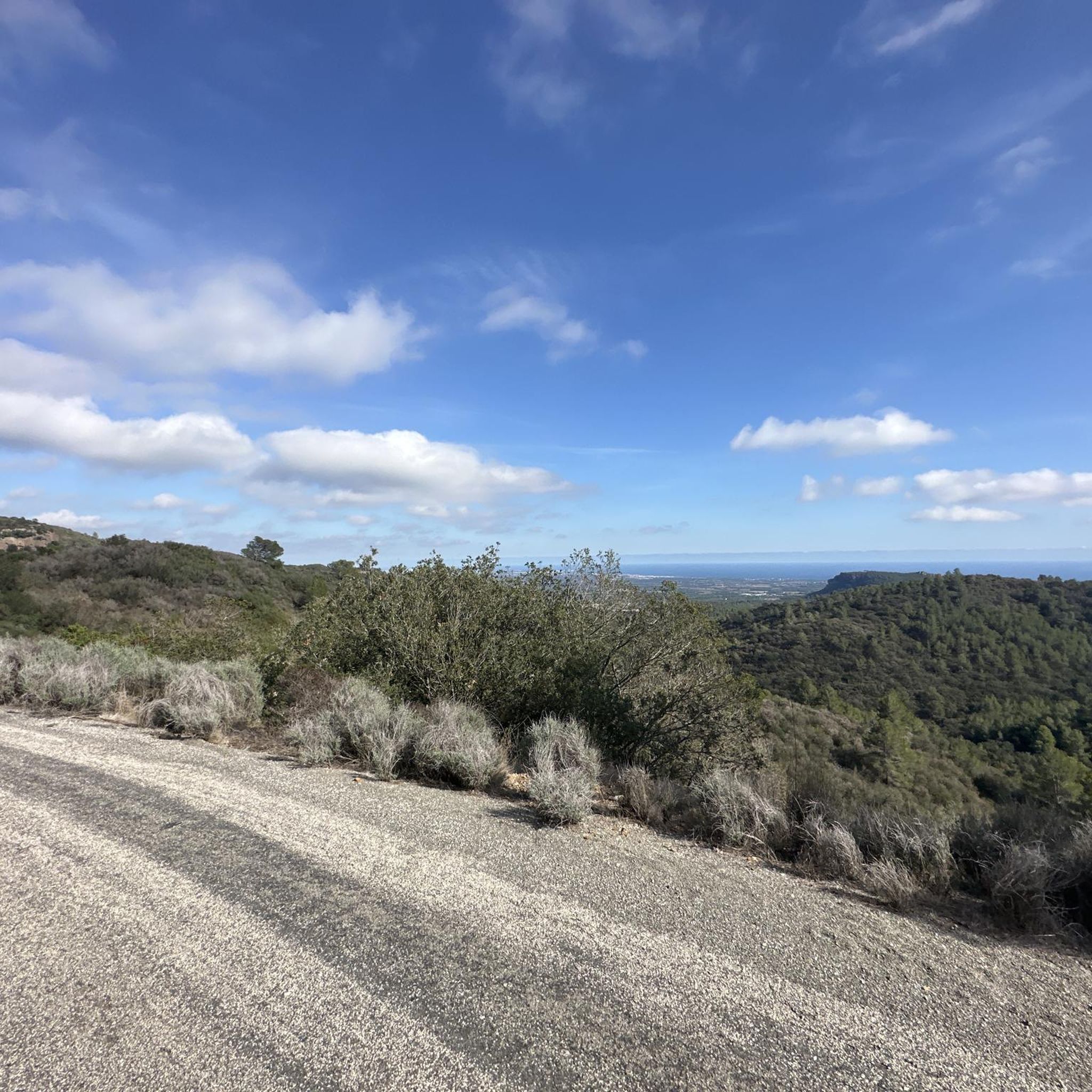
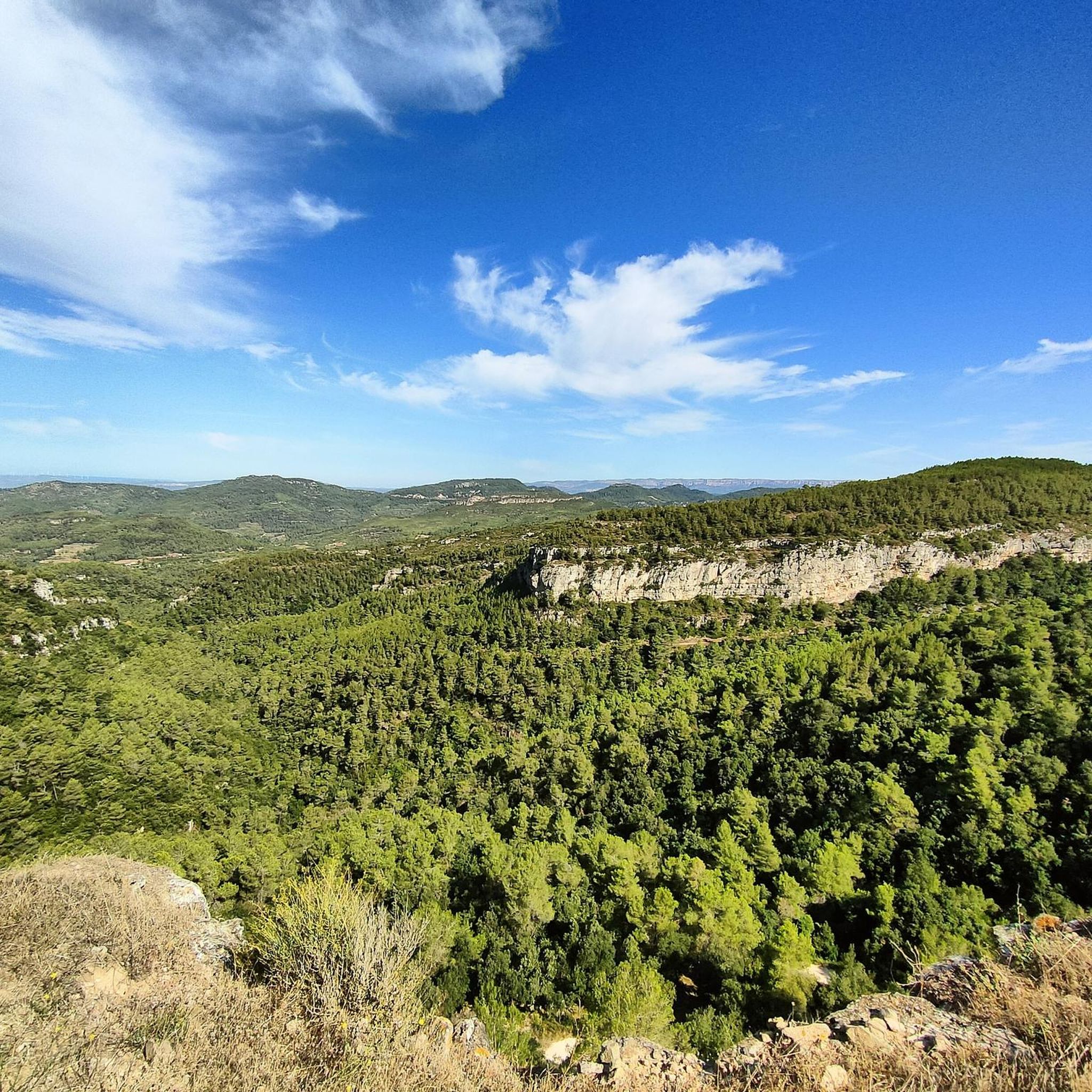
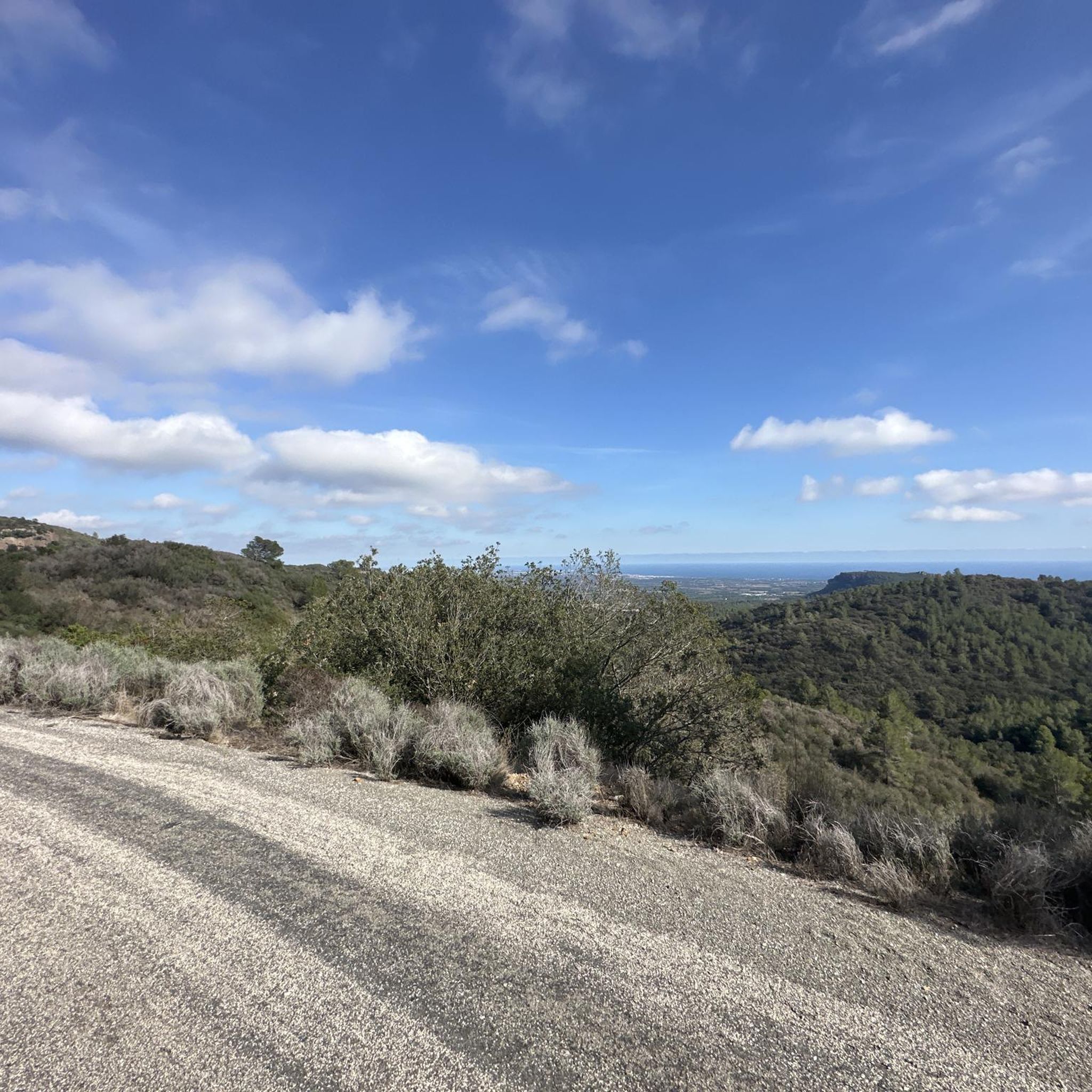
Located in the highest part of the Mola de Colldejou and just a few meters from the castle, the view reaches the coast of Cambrils. You can also see the impressive Llaberia mountain range and the Pradell-L'Argentera mountain ranges.
1
0

try to go on one day every day, so there will be fewer people, there are more places to visit quickly and without difficulty
0
0
Frequently Asked Questions
What kind of terrain can I expect on mountaineering routes in L'Argentera?
Mountaineering in L'Argentera offers a diverse range of terrain. You'll encounter challenging ascents and descents, natural rock formations, and paths traversing varied elevations, including hills like La Miranda (918 m) and Cavall Bernat (840 m). The region's landscape provides panoramic views and a demanding outdoor experience.
Are there routes suitable for beginners or those looking for an easier mountaineering experience?
Yes, L'Argentera offers options for various ability levels. While many routes are challenging, you can find moderate climbs. For example, the Pla de l'Areny Rock Formations loop from Roca del Pagès is a moderate 3.0-mile (4.9 km) path that leads through distinctive geological scenery.
What about more challenging mountaineering options in L'Argentera?
For those seeking a more demanding experience, L'Argentera has several difficult routes. The Mountaineering loop from Colldejou is a difficult 5.2-mile (8.3 km) trail with a significant elevation gain of 1,637 ft (499 m). Another challenging option is the La Miranda (918 m) – Cavall Bernat (840 m) loop from Colldejou, a 6.6-mile (10.7 km) trail through mountainous terrain.
What natural features or landmarks can I see while mountaineering in L'Argentera?
The region is rich in natural beauty and notable landmarks. You can explore various summits like La Miranda (918 m) and Mont-Redon Summit. The Pla de l'Areny Rock Formations loop specifically highlights unique geological formations. The broader Monte Argentera massif, which L'Argentera is part of, is known for its towering peaks, diverse alpine environments, and glacial lakes.
Are there any historical or cultural points of interest along the routes?
Yes, beyond the natural beauty, the area holds cultural interest. You might encounter features like old mule tracks, such as the Col de Fenestre mule track. Additionally, there are several religious buildings and castles in the vicinity, including La Mola Castle in Colldejou, the Hermitage of Mare de Déu de la Roca, and Ermita de Santa Marina.
How long do mountaineering routes around L'Argentera typically take?
The duration of mountaineering routes in L'Argentera varies depending on the distance and difficulty. For instance, the moderate Pla de l'Areny Rock Formations loop typically takes about 1 hour 40 minutes. More challenging routes like the La Miranda (918 m) – Cavall Bernat (840 m) loop can take around 4 hours 37 minutes, while the Mountaineering loop from Colldejou is usually completed in about 3 hours 23 minutes.
Are there any circular mountaineering routes available in L'Argentera?
Yes, several popular mountaineering routes in L'Argentera are circular. Examples include the Mountaineering loop from Colldejou, the Pla de l'Areny Rock Formations loop from Roca del Pagès, and the La Miranda (918 m) – Cavall Bernat (840 m) loop from Colldejou. Another option is the Punta de Fornells – la Miranda loop from Colldejou.
What is the best time of year for mountaineering in L'Argentera?
The Monte Argentera massif, which includes L'Argentera, is generally best for mountaineering during the warmer months, typically from late spring to early autumn. This period offers more stable weather conditions and less snow at higher elevations, making routes more accessible. However, conditions can vary, so always check local forecasts before heading out.
What do other mountaineers enjoy the most about mountaineering in L'Argentera?
The mountaineering routes in L'Argentera are highly rated by the komoot community, with an average score of 5.0 stars. Mountaineers often praise the challenging ascents, the unique natural rock formations, and the panoramic views from the hilltops. The diverse terrain and the sense of accomplishment after completing a demanding route are frequently highlighted.
Are there any mountain huts or refuges available in the L'Argentera area?
While L'Argentera itself is in Catalonia, the broader Monte Argentera massif in the Maritime Alps (Italy/France) is well-equipped with mountain huts. These include Rifugio Bozano, Rifugio Morelli Buzzi, Rifugio Genova, and Rifugio Remondino, which provide essential support for multi-day expeditions in the high mountains. For specific information on facilities directly within the L'Argentera region of Catalonia, it's advisable to check local resources.
What kind of wildlife might I encounter while mountaineering?
The Monte Argentera massif, part of the Maritime Alps Natural Park and bordering Mercantour National Park, is known for its rich biodiversity. While mountaineering, you might encounter various fauna, including ungulates like chamois and ibex, as well as marmots. Keep an eye out for diverse bird species too, especially in the higher alpine environments.
Most popular routes around L'Argentera
Most popular attractions around L'Argentera

Get inspired with the komoot mobile app


Explore more
Browse the best Mountain Hikes & Routes in other regions.
