The best road cycling routes around Yátova
4.4
(46)
1,769
riders
66
rides
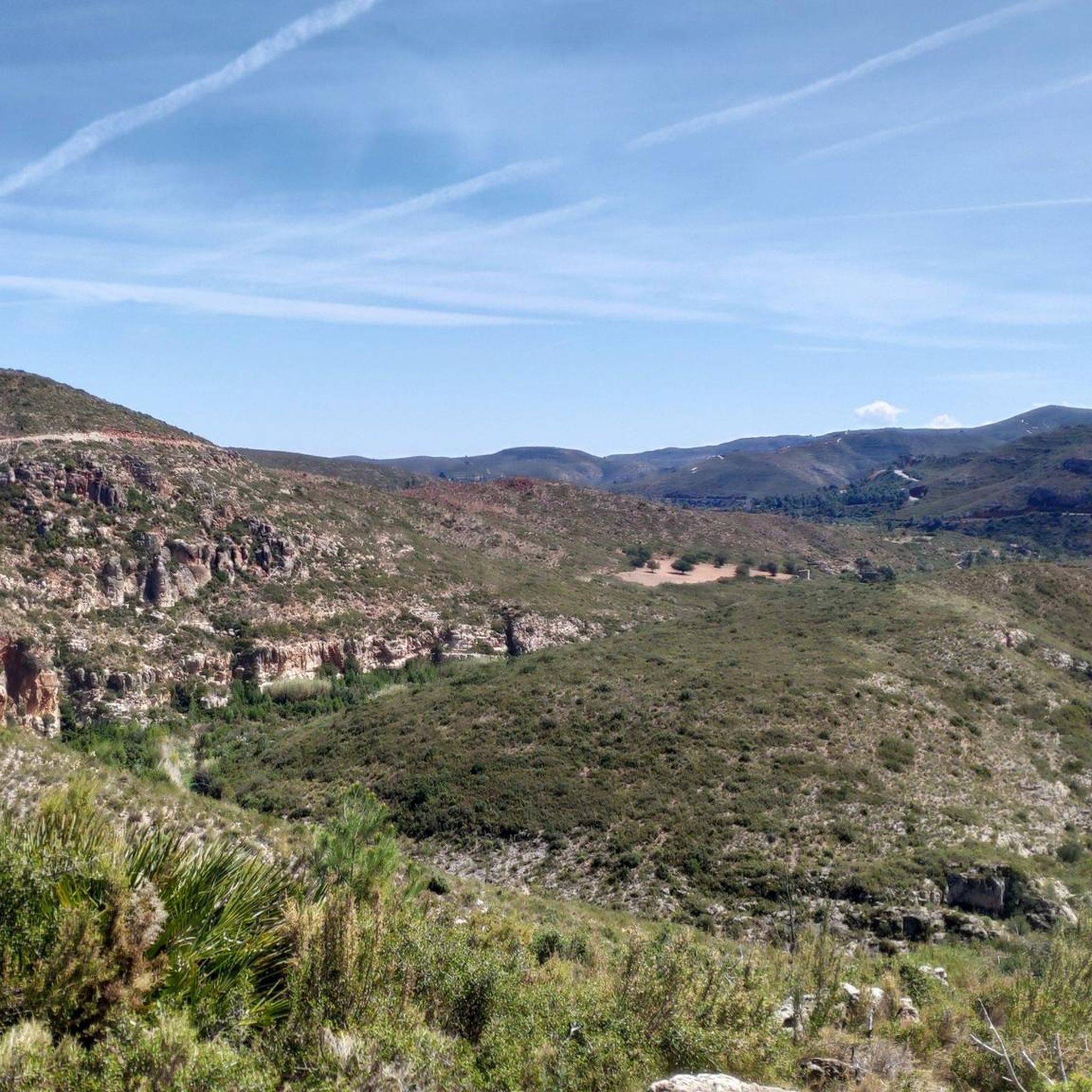
Road cycling routes around Yátova traverse the diverse landscapes of inland Valencia, characterized by a hilly interior and the Sierra Martés mountain range. The region features varied terrain, including the scenic Magro River valley and areas around the Embalse de Forata. Cyclists can expect a well-regarded road network with generally low traffic on secondary roads, offering a mix of challenging climbs and picturesque routes.
Best road cycling routes around Yátova
- The most popular road cycling route is The Embalse de…
Last updated: June 27, 2026
101
riders
77.4km
04:05
1,260m
1,260m
Hard road ride. Very good fitness required. Mostly well-paved surfaces and easy to ride.
4.8
(5)
61
riders
80.9km
04:03
1,080m
1,080m
Hard road ride. Very good fitness required. Mostly well-paved surfaces and easy to ride.

Sign up for free
4.0
(1)
229
riders
106km
05:18
1,630m
1,630m
Hard road ride. Very good fitness required. Mostly well-paved surfaces and easy to ride.
5.0
(3)
100
riders
66.6km
03:00
680m
680m
Moderate road ride. Good fitness required. Mostly well-paved surfaces and easy to ride.
3.0
(2)
76
riders
64.6km
03:34
1,230m
1,230m
Hard road ride. Very good fitness required. Some segments of this route may be unpaved and difficult to ride.
Get access to more routes and recommendations from other explorers.
Sign up for free
Already have an account?
Our route recommendations are based on thousands of hikes, rides, and runs completed by other people on komoot.
Start today with a free account
Your next adventure awaits.
Login or Signup
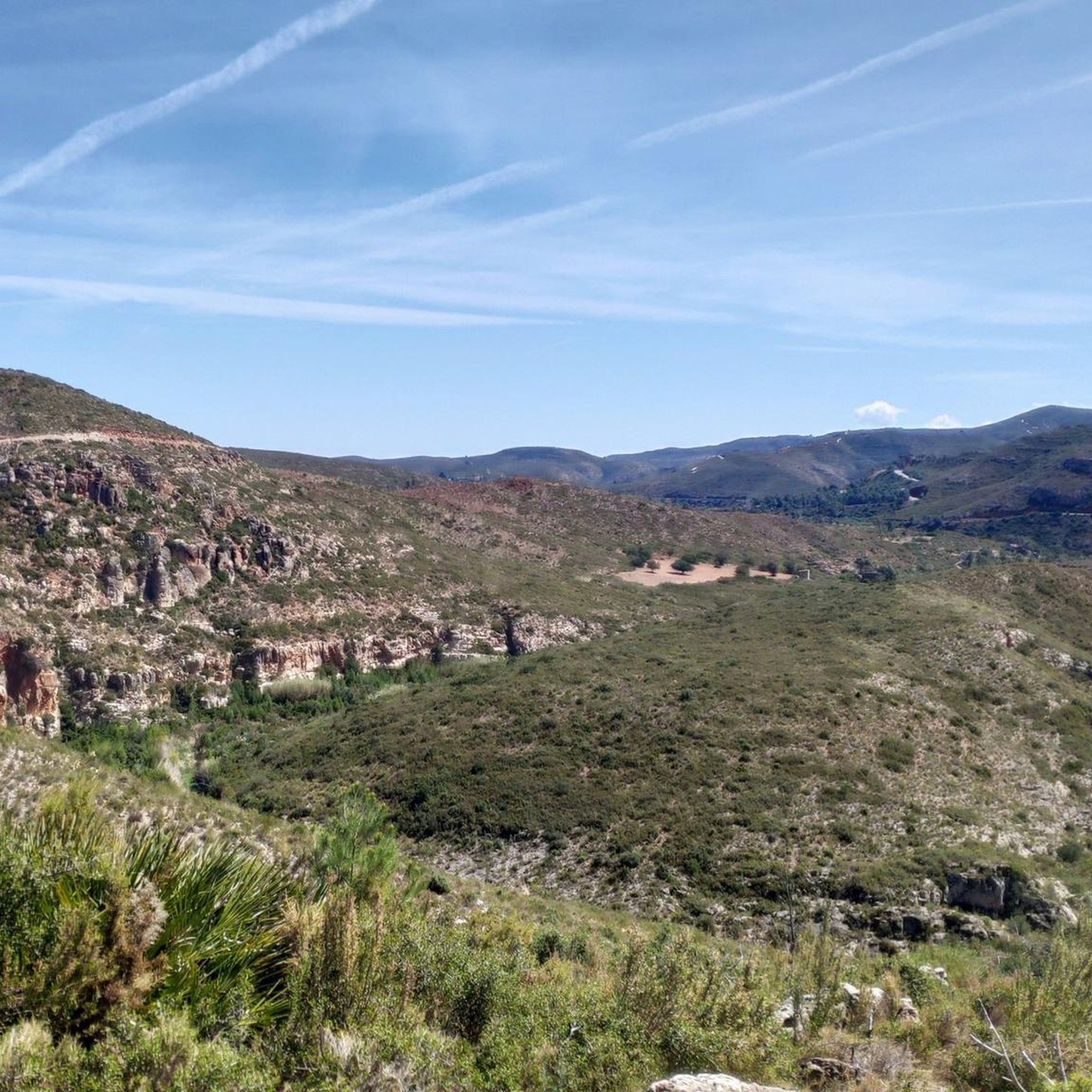
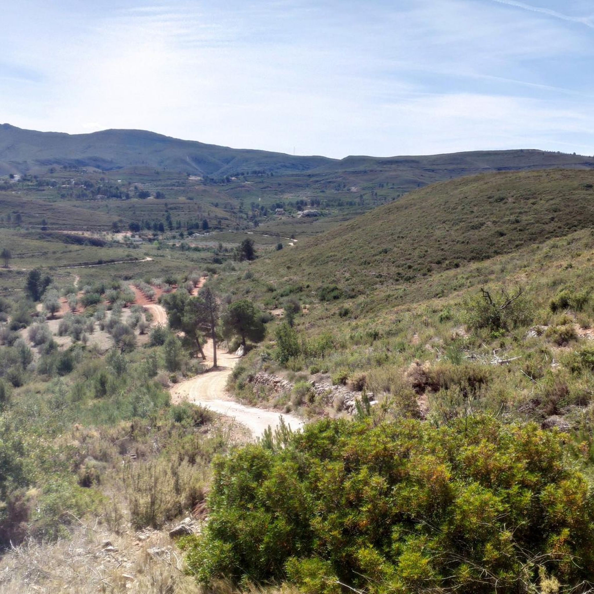
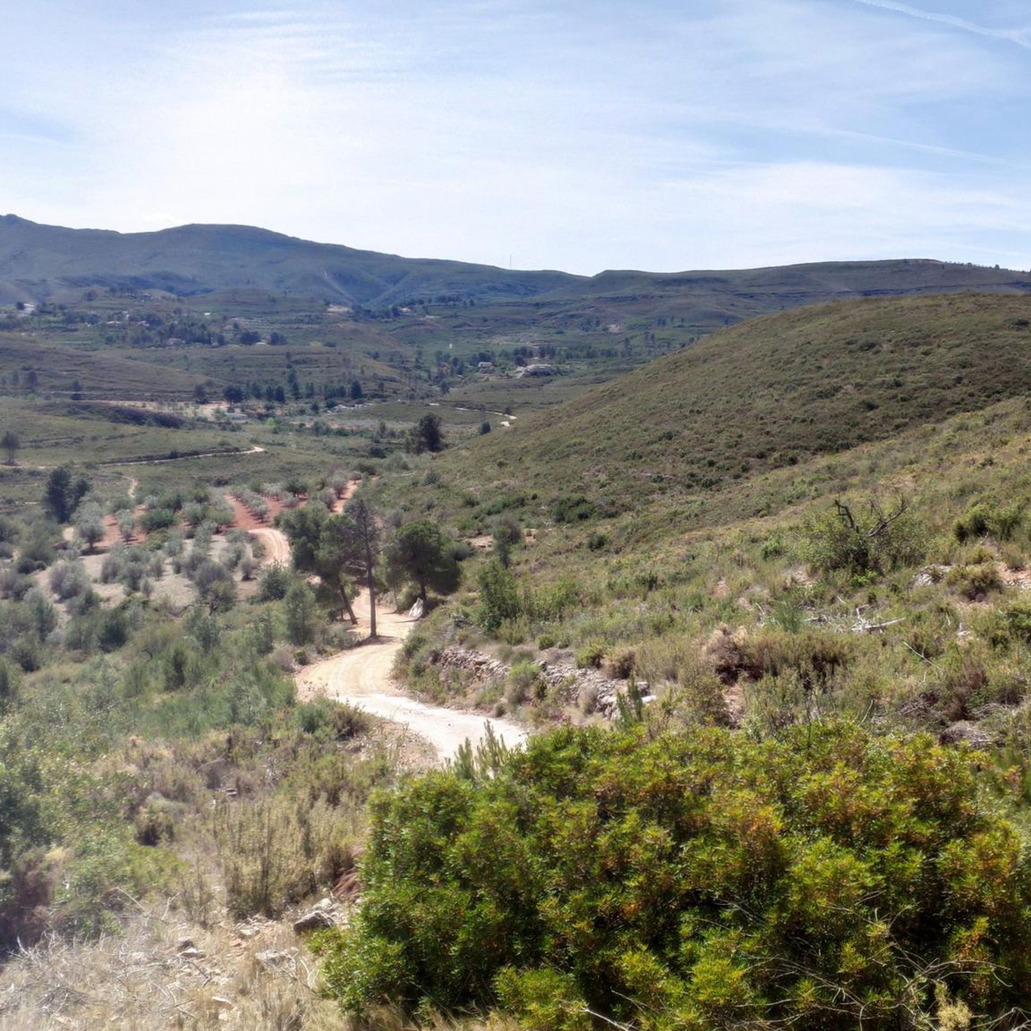
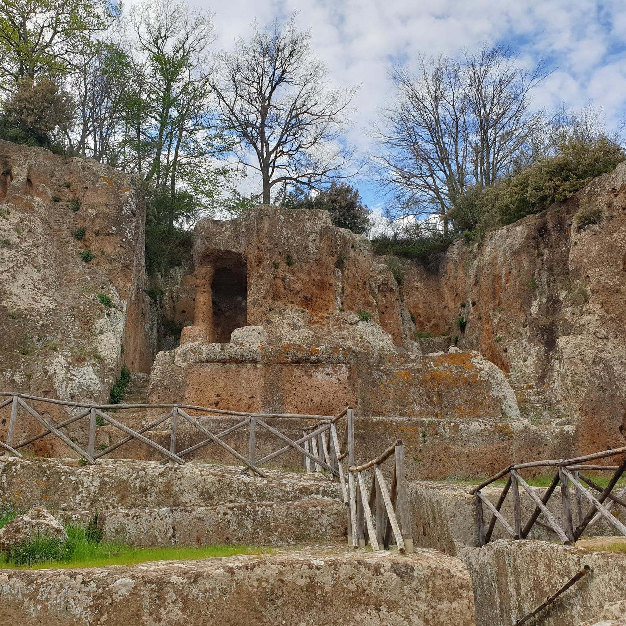
Tips from the Community

Long mural with two distinct parts, one with characters and the other with a message.
1
0

The road towards Cuevas del Turche is currently closed - construction site!
4
0


steep climb of just over 2km
2
0
Currently difficult to reach due to debris (looks like flooding)
1
0

The Cueva Turche in Buñol is a beautiful spot worth visiting, especially after heavy rains, when we can enjoy a waterfall that falls 60 metres high.
5
0

The Mijares River rises at an altitude of 1,600 m in the Sierra de Gúdar mountain range, part of the Iberian System. The Mijares forms a 4,028 km² valley basin. After 156 km, the river flows into the Mediterranean Sea at Valencia.
0
0
Frequently Asked Questions
What kind of terrain can I expect on road cycling routes around Yátova?
Road cycling around Yátova offers a diverse landscape, characterized by a hilly interior and parts of the Sierra Martés mountain range. You'll encounter varied terrain, including scenic river valleys like the Magro River, and areas around the Embalse de Forata. The region is known for its excellent road conditions and generally low traffic on secondary roads, providing a mix of challenging climbs and picturesque routes.
How many road cycling routes are available in the Yátova area?
There are over 70 road cycling routes available around Yátova, catering to various skill levels. This includes 2 easy routes, 30 moderate routes, and 40 difficult routes, ensuring options for both casual riders and those seeking a challenge.
Are there any circular road cycling routes around Yátova?
Yes, many routes in the area are circular. For example, you can explore The Embalse de Forata - Circular from Buñol, a challenging 48.1-mile (77.4 km) route offering views of the reservoir. Another option is the Circular route from Buñol crossing the Mijares River, a difficult 50.2-mile (80.9 km) path with varied terrain.
What natural features or landmarks can I see along the road cycling routes?
The routes often pass by significant natural features. You might encounter the scenic Magro River valley or the impressive Forata Dam. The area is also home to the Cave of the Doves and Yátova Waterfall, and the Turche Cave Waterfall, offering beautiful sights during your ride.
What is the best time of year for road cycling in Yátova?
The inland areas of Valencia, including Yátova, are popular for cycling due to their generally favorable climate. While specific weather conditions vary, the region is often used by professional cycling teams during winter months, suggesting good conditions outside of peak summer heat. Spring and autumn typically offer pleasant temperatures for long rides.
Are there any challenging climbs for experienced road cyclists?
Absolutely. The hilly interior and mountain ranges like Sierra Martés provide numerous climbs and mountain passes of varying difficulty. Routes such as the Fuente Real Pass – View of Dos Aguas loop from Buñol, a 65.6-mile (105.5 km) trail, feature significant elevation gains, providing a substantial challenge for experienced riders.
What do other road cyclists say about the routes in Yátova?
The road cycling routes in Yátova are highly rated by the komoot community, with an average score of 4.5 stars from over 38 reviews. Cyclists often praise the varied terrain, good road quality, and the low traffic on secondary roads, which enhances the safety and enjoyment of their rides.
Is there parking available for cyclists in Yátova?
While specific parking areas for cyclists are not detailed, Yátova is a municipality within a region popular for cycling. It is generally possible to find parking in or near the town center, or at the start points of many routes, especially in smaller towns where traffic is less dense.
Can I reach Yátova by public transport with my bicycle?
Information on specific public transport options for carrying bicycles to Yátova is not readily available. It's advisable to check with local bus or train operators in the Valencia province for their policies regarding bicycle transport, as services can vary.
Are there any easier road cycling routes for beginners or those looking for a less strenuous ride?
Yes, while many routes are moderate to difficult, there are 2 easy road cycling routes available around Yátova. These routes offer a gentler introduction to the region's beautiful scenery without the demanding climbs of the more challenging trails.
Where can I find scenic viewpoints along the road cycling routes?
Many routes offer panoramic vistas, especially in the hilly sections and mountain passes. The La Pileta Viewpoint is one such spot that provides excellent views. Additionally, routes passing through the Sierra Martés mountain range or near the Embalse de Forata often feature stunning natural scenery.
Are there cafes or places to stop for refreshments along the routes?
While specific cafes directly on all routes are not listed, the region's roads often pass through picturesque villages. You can expect to find local establishments in towns like Yátova or Buñol, which serve as common starting points or mid-ride stops. For example, the Weir of the Magre River – Bar El Cazador loop from Buñol suggests a potential stop at 'Bar El Cazador'.
Most popular attractions around Yátova

Get inspired with the komoot mobile app


Explore more
Browse the best Road cycling routes in other regions.
