The best walks and hikes around Muñogalindo
5.0
(4)
89
hikers
12
hikes
Hiking around Muñogalindo offers access to varied terrain within the Sierra de Ávila mountain range and proximity to the Sierra de Gredos Regional Park. The local landscape features a mix of accessible paths and more demanding trails, with the highest point in the Sierra de Ávila being Cerro de Gorría at 1708 meters. The region is characterized by granite masses, oak groves, pine forests, and alpine meadows, providing diverse ecosystems for exploration. This area serves as a base for experiencing…
Last updated: August 11, 2026
Hard hike. Very good fitness required. Mostly accessible paths. Sure-footedness required.
5.0
(2)
34
hikers
8.55km
03:15
580m
580m
Moderate hike. Good fitness required. Easily-accessible paths. Suitable for all skill levels.

Sign up for free
18
hikers
17.6km
06:03
940m
940m
Hard hike. Very good fitness required. Easily-accessible paths. Suitable for all skill levels.
10
hikers
3.18km
01:11
210m
210m
Easy hike. Great for any fitness level. Easily-accessible paths. Suitable for all skill levels.
3
hikers
3.57km
01:14
190m
200m
Easy hike. Great for any fitness level. Easily-accessible paths. Suitable for all skill levels.
Get access to more routes and recommendations from other explorers.
Sign up for free
Already have an account?
Our route recommendations are based on thousands of hikes, rides, and runs completed by other people on komoot.
Start today with a free account
Your next adventure awaits.
Login or Signup

Tips from the Community

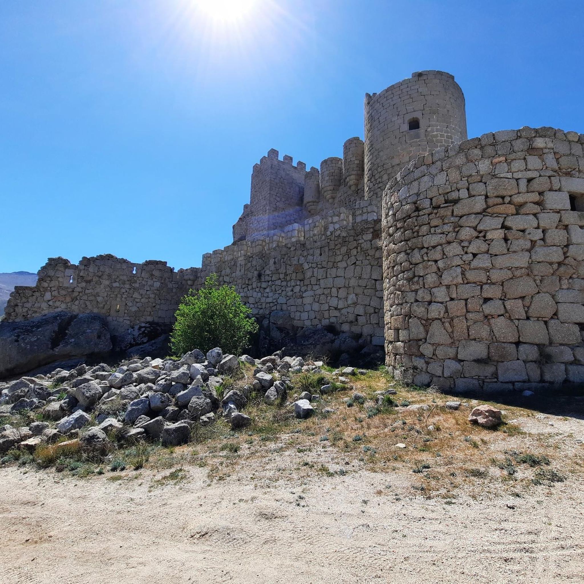
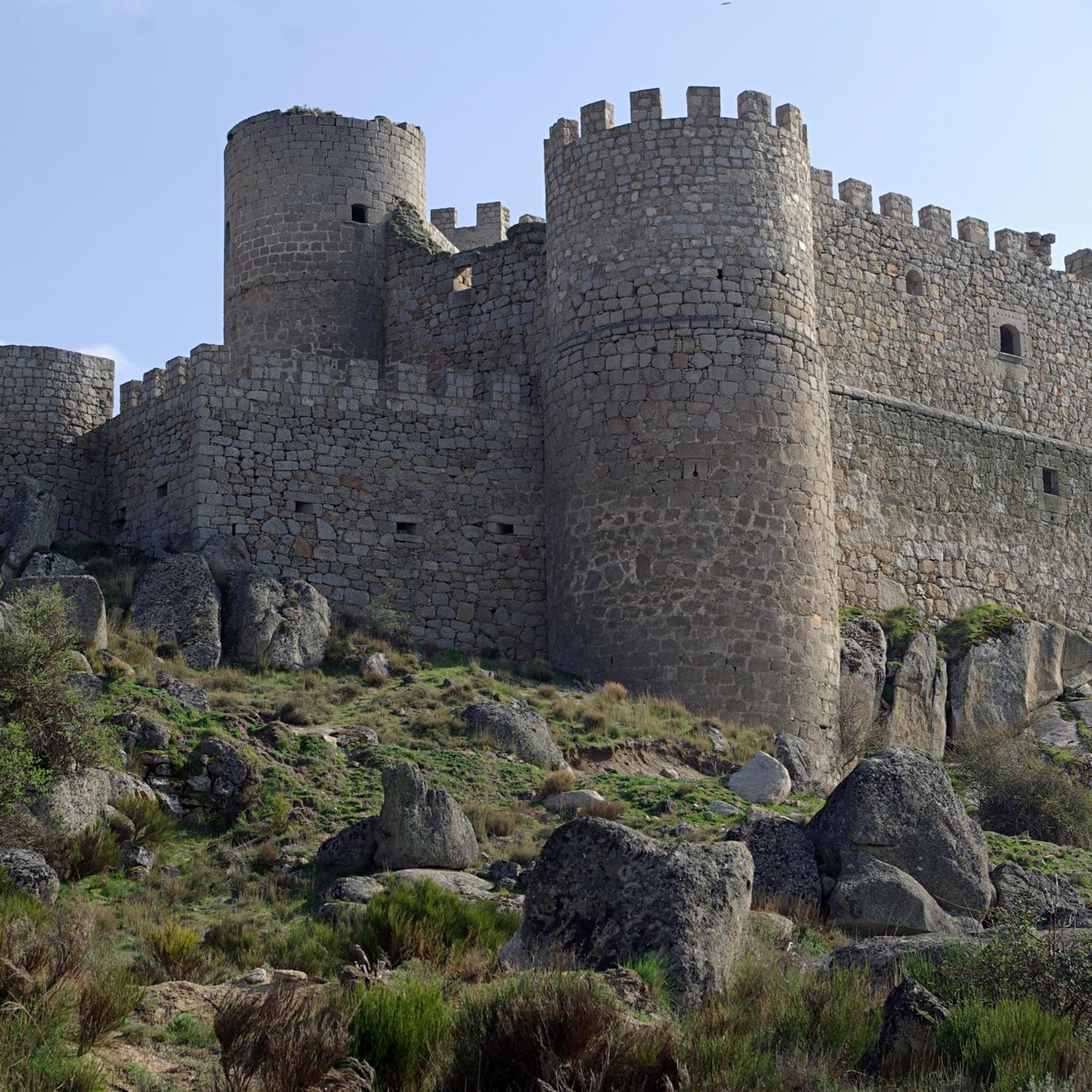
Manqueospese Castle, also known as "Althoughospese," is located in the municipality of Mironcillo, Ávila, at an altitude of 1,360 meters, overlooking the Amblés Valley. This castle is an example of a European mountain fortress, with strong walls adapted to the rocky terrain. Construction of the castle began in the 15th century by the Dávila family and was completed by Esteban Dávila in the 16th century. The castle is surrounded by legends, including stories of unrequited love and rivalries between knights. Its name, "Manqueospese," is said to come from the expression "although it weighs on you," which is related to these legends. From its privileged position, the castle offers stunning views of the Amblés Valley and the walls of Ávila. Although it is currently in ruins, restoration and cleaning work are underway.
5
0

According to legend, the castle would be built by Don Raimundo, to communicate with his beloved Doña Guiomar, locked in the balcony that crowns the door of the Rastro (in Ávila, access through the Dávila house), given the prohibition of her father. for the couple to continue their love affairs. Given the paternal attitude, Don Raimundo exclaimed: "I'll see her manqueospese" or "I'll see her even though she weighs", and it was then that he built his castle, from which he apparently communicated with his beloved Guiomar.
1
0

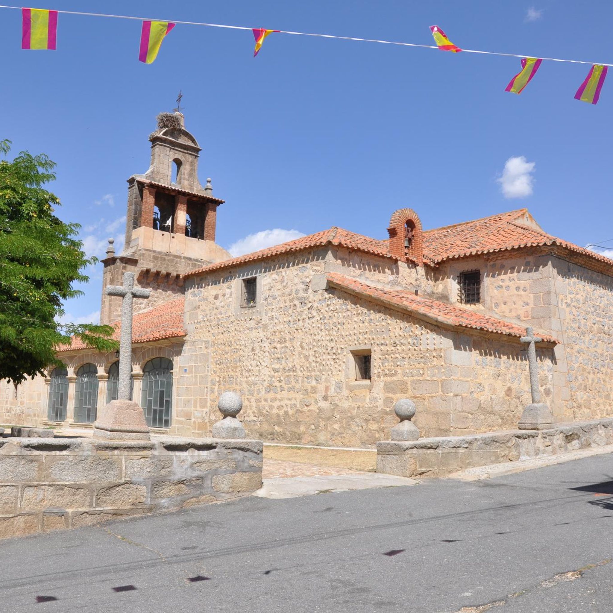
Population that is located at the foot of the northern side of the Sierra de Panamera and that on one of its sides is the Castillo de Manqueospese. As it is surrounded by mountains, as soon as you get up, you can see the entire core.
0
0
Impressive castle that is located close to the town of Sotalbo and that has a scene worthy of a movie. The walls and towers create a beautiful image on a hill!
1
0
The Río de la Garaganta descends through this valley that has formed over the years and that lets us see how the Sierra de Panamera peaks rise behind us.
1
0
Old castle that is located on the hill that bears the same name as the mountain and that represents an old castle where the remains of it can still be found today.
1
0

The unique granite landscape is the result of the mineral composition, climatic changes and the weathering of the rock surfaces, giving rise to suggestive modeling forms. The most striking process is the slabs, the boats, the corridors and alleys and the granular disintegration, creating an authentic labyrinth of stone sculptures. To the west, at the headwaters of the Adaja River, the white reliefs of La Serrota emerge. The path follows the ridge and collides with the top pyramid of Zapatero in a clear hill where the ascent to the top begins on the southwest face. The ascent is marked with stone milestones. The ice and the amount of snow will determine the technical level of the ascent. First there is a rocky step to a wide and comfortable shoulder, where the final attack begins through a channel that leads to the access passage to the geodesic vertex through a kind of tunnel. The views from the top of the remaining section of the rope are breathtaking between large granite domes and giant speedboats, but it is actually easier than the previous section and almost all descent. The descent of the peak is along the east face, to a pass where the Path of Zapatero climbs from the left from Sotalvo.
2
0

patient the climb
1
0
Frequently Asked Questions
How many hiking trails are available around Muñogalindo?
There are 10 hiking trails around Muñogalindo, offering a range of difficulties from easy to difficult. These routes explore the varied terrain of the Sierra de Ávila and provide access to the broader Sierra de Gredos Regional Park.
Are there easy hiking options suitable for families?
Yes, Muñogalindo offers 3 easy trails. A great option for families is the Castro Vetón de Ulaca – Castro de Ulaca loop from Castro de Ulaca, a 3.2 km path that takes about an hour to complete and leads through historical ancient settlements. Another easy choice is the Manqueospese Castle loop from Sotalbo, which is 3.4 km long.
What kind of natural landmarks or viewpoints can I expect to see on the trails?
The region offers several notable natural landmarks and viewpoints. You can hike to Pico Zapatero, which provides spectacular views of the Sierra de la Paramera, especially after snowfall. Another significant peak is Cerro de Gorría, the highest point in the Sierra de Ávila. You can also find scenic spots like Views of Valdecasa.
Are there any circular hiking routes in the area?
Yes, many of the trails around Muñogalindo are circular. For a challenging experience, consider the Castillo de Manqueospese by the Sierra de los Baldíos — circular from Villaviciosa. A moderate circular option is the Pico Zapatero loop from Fuente de Aguas. For an easy historical walk, the Castro Vetón de Ulaca – Castro de Ulaca loop from Castro de Ulaca is also circular.
What is the best time of year to go hiking around Muñogalindo?
The best seasons for hiking around Muñogalindo are generally spring and autumn. During these times, the weather is milder and more pleasant for outdoor activities. Summers can be very hot, especially at higher elevations, while winter hikes might offer unique snowy landscapes but require appropriate gear and caution.
What kind of wildlife might I encounter while hiking?
The Sierra de Gredos Regional Park, accessible from Muñogalindo, is known for its rich biodiversity. Hikers might encounter a variety of fauna, including Spanish Ibex, eagles, vultures, deer, and mountain goats, particularly in the higher elevations and diverse ecosystems of the park.
Are there any challenging routes for experienced hikers?
Yes, for experienced hikers, there are challenging routes available. The Castillo de Manqueospese by the Sierra de los Baldíos — circular from Villaviciosa is a difficult 27.8 km trail with an elevation gain of over 840 meters, requiring good physical condition. Another difficult option is the Cancha Morena (2,122 m) – Pico Zapatero loop from Sotalbo, covering 17.5 km with nearly 940 meters of elevation gain.
What do other hikers enjoy the most about hiking in Muñogalindo?
The area is highly rated by the komoot community, with an average score of 5.0 stars. Hikers often praise the diverse landscapes, which range from accessible paths in the Sierra de Ávila to the more rugged and biologically rich environments of the Sierra de Gredos. The variety of trails, from easy walks through ancient settlements to challenging mountain ascents, is also frequently highlighted.
Can I find trails that offer views of the Sierra de Gredos?
While Muñogalindo is within the Sierra de Ávila, many routes offer views towards the majestic Sierra de Gredos Regional Park. The Pico Zapatero loop from Fuente de Aguas, for instance, provides spectacular views of the Sierra de la Paramera, which is part of the broader mountain system leading to Gredos.
Are there any historical sites to explore on the hiking trails?
Yes, you can explore historical sites while hiking. The Castro Vetón de Ulaca – Castro de Ulaca loop from Castro de Ulaca takes you through ancient Vetton settlements, offering a glimpse into the region's past. Additionally, you can find man-made monuments like Rollo de Muñotello and Plaza de la Torre and Fuente de Piedra in the vicinity.
What kind of terrain defines the hiking experience around Muñogalindo?
The hiking experience around Muñogalindo is defined by the diverse terrain of the Sierra de Ávila, characterized by granite masses, oak groves, pine forests, and alpine meadows. This provides a mix of accessible paths and more demanding trails, with varied ecosystems to explore.
Most popular attractions around Muñogalindo

Get inspired with the komoot mobile app


Explore more
Browse the best Hikes in other regions.
