The best road cycling routes around Amavida
3.0
(1)
87
riders
8
rides
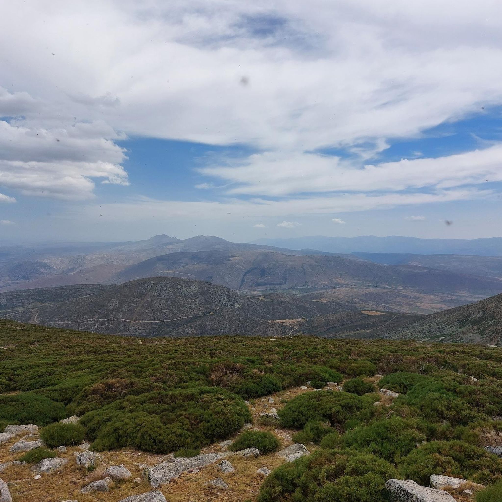
Road cycling around Amavida is characterized by mountainous terrain and significant elevation changes. The region features numerous passes, such as Peña Negra Pass and Puerto de Villatoro, offering challenging climbs and descents. These routes traverse varied landscapes, including mountain ranges like the Sierra de la Panamera. The area provides a demanding environment for experienced road cyclists.
Best road cycling routes around Amavida
- The most popular road cycling route is Rodeo a la Sierra de la Panamera — circular por el…
Last updated: May 20, 2026
2
riders
147km
07:20
2,360m
2,350m
Hard road ride. Very good fitness required. Mostly well-paved surfaces and easy to ride.
3.0
(1)
55
riders
109km
06:11
2,380m
2,380m
Hard road ride. Very good fitness required. Some segments of this route may be unpaved and difficult to ride.

Sign up for free
11
riders
89.9km
04:42
1,450m
1,450m
Hard road ride. Very good fitness required. Mostly well-paved surfaces and easy to ride.
11
riders
93.6km
04:50
1,580m
1,580m
Hard road ride. Very good fitness required. Some segments of this route may be unpaved and difficult to ride.
5
riders
126km
06:31
2,090m
2,080m
Hard road ride. Very good fitness required. Mostly well-paved surfaces and easy to ride.
Get access to more routes and recommendations from other explorers.
Sign up for free
Already have an account?
Our route recommendations are based on thousands of hikes, rides, and runs completed by other people on komoot.
Start today with a free account
Your next adventure awaits.
Login or Signup
Popular around Amavida

Tips from the Community

It's an open pass in the inhospitable landscape typical of this area. It's highly recommended because it offers easy connections to other passes such as Serranillos and Mijares.
0
0

A relatively simple port, with good asphalt and road visibility, moderate (average 5%) and constant gradients. It can be tricky on a windy day.
0
0

beautiful stretch of road on the plateau
0
0

Beautiful views, on a good day you can see people taking off on paragliders.
0
0
A magnificent mountain pass to climb by bike with magnificent views from either side.
0
0
This slope is gentler than the northern slope and much shorter, with just 4 km and 2 of them hard, with some considerable ramps in the pair of horseshoe curves that there are. The road is inhospitable and therefore with very little traffic. The asphalt is uneven and rough, which adds hardness to the climb. Most of the secondary roads in this area are like this, which gives it a lot of charm. The landscape in summer is dry land, very typical of the northern area of Gredos and the northern plateau in general. I climbed the pass one early morning in August and I really enjoyed the solitude and silence of nature.
0
0

From Puerto de Villatoro itself, a road appears in a northerly direction that goes towards the center of Villanueva del Campillo, with impressive views of the area.
0
0
Beautiful and at the same time small town that is characterized by the Sierra de la Serrota and to the north, by the "dehesas" that are close to the Río Alberche (Dehesa de San Martín and Dehesa de las Cañadas).
0
0
Frequently Asked Questions
What kind of terrain can I expect when road cycling around Amavida?
Road cycling around Amavida is defined by mountainous terrain and significant elevation changes. You'll encounter numerous passes, such as Peña Negra Pass and Puerto de Villatoro, which offer challenging climbs and descents through varied landscapes, including mountain ranges like the Sierra de la Panamera.
How many road cycling routes are available in the Amavida area?
There are 8 road cycling routes available around Amavida on komoot, primarily catering to experienced cyclists due to their challenging nature.
Are there any easy road cycling routes for beginners in Amavida?
The road cycling routes around Amavida are generally challenging, with 7 out of 8 routes rated as difficult. There is only 1 route classified as moderate, and none are specifically easy, making the area best suited for experienced road cyclists.
What are some notable natural features or viewpoints I might encounter on a road cycling route in Amavida?
While cycling around Amavida, you can experience impressive natural features and viewpoints. Highlights include the Serrota summit, Cerro de Gorría, and the Collado de la Honda mountain pass. You can also find scenic Views of Valdecasa and the Source of the Adaja River.
Are there any circular road cycling routes in Amavida?
Yes, many routes in Amavida are circular. For example, you can try the challenging Rodeo a la Sierra de la Panamera — circular por el Puerto de Navalmoral, or the Peña Negra Pass – Puerto de Villatoro loop from Puerto de Villatoro.
What do other road cyclists say about the routes in Amavida?
The routes in Amavida are highly rated by the komoot community, with an average score of 3.0 stars from over 1 review. More than 95 road cyclists have used komoot to explore the varied and challenging terrain, often praising the significant elevation gains and mountain passes.
Are there any historical sites or landmarks to see while cycling in Amavida?
Yes, beyond natural beauty, you can encounter historical landmarks. Notable points of interest include the Rollo de Muñotello and the Ruins of Monasterio del Risco. The settlement of Villatoro is also a significant point along some routes.
What is the longest road cycling route available in Amavida?
One of the longest routes is Rodeo a la Sierra de la Panamera — circular por el Puerto de Navalmoral, which spans 91.2 miles (146.8 km) and typically takes around 7 hours and 20 minutes to complete.
What is a popular challenging route for experienced cyclists in Amavida?
A popular and challenging option is the Puerto de Villatoro – Peña Negra Pass loop from Mengamuñoz. This route covers 126.2 km and features significant elevation changes, making it a demanding ride for experienced road cyclists.
Can I find routes that include multiple mountain passes?
Absolutely. Many routes in Amavida are designed around multiple mountain passes. For instance, the Las Fuentes Pass – Puerto de Villatoro loop from La Torre takes you through several passes over 55.9 miles (89.9 km).
Are there any routes that start from specific locations like Puerto de Villatoro?
Yes, some routes are designed as loops starting from key locations. The Peña Negra Pass – Puerto de Villatoro loop from Puerto de Villatoro is a great example, offering a challenging ride directly from the pass itself.
What kind of elevation gain can I expect on these routes?
The routes around Amavida feature significant elevation gains. For example, the Rodeo a la Sierra de la Panamera — circular por el Puerto de Navalmoral route involves over 2,300 meters of ascent, providing a demanding experience for climbers.
Most popular routes around Amavida
Most popular attractions around Amavida

Get inspired with the komoot mobile app


Explore more
Browse the best Road cycling routes in other regions.
