The best mountain hikes around Benidoleig
4.4
(10)
17
hikers
5
hikes
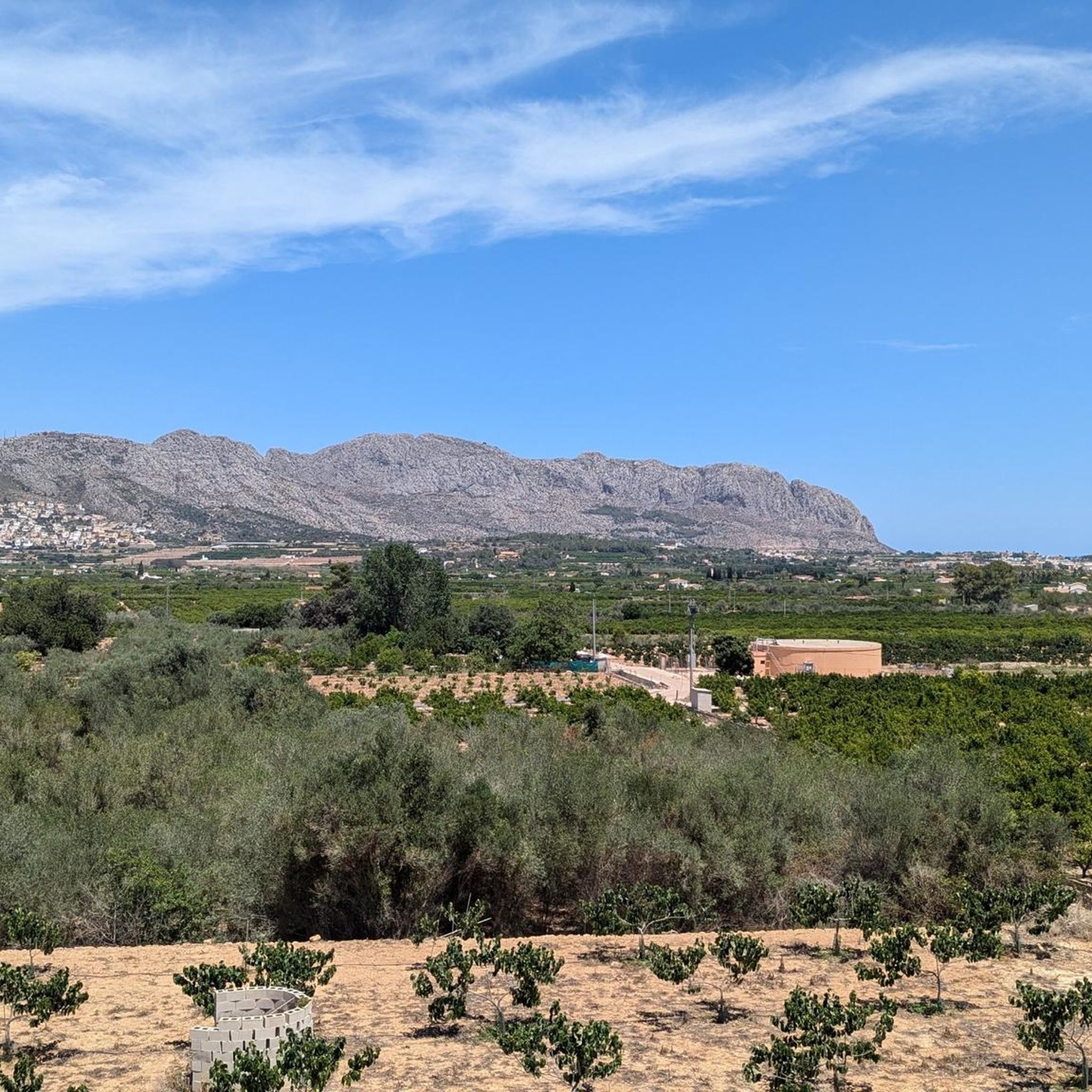
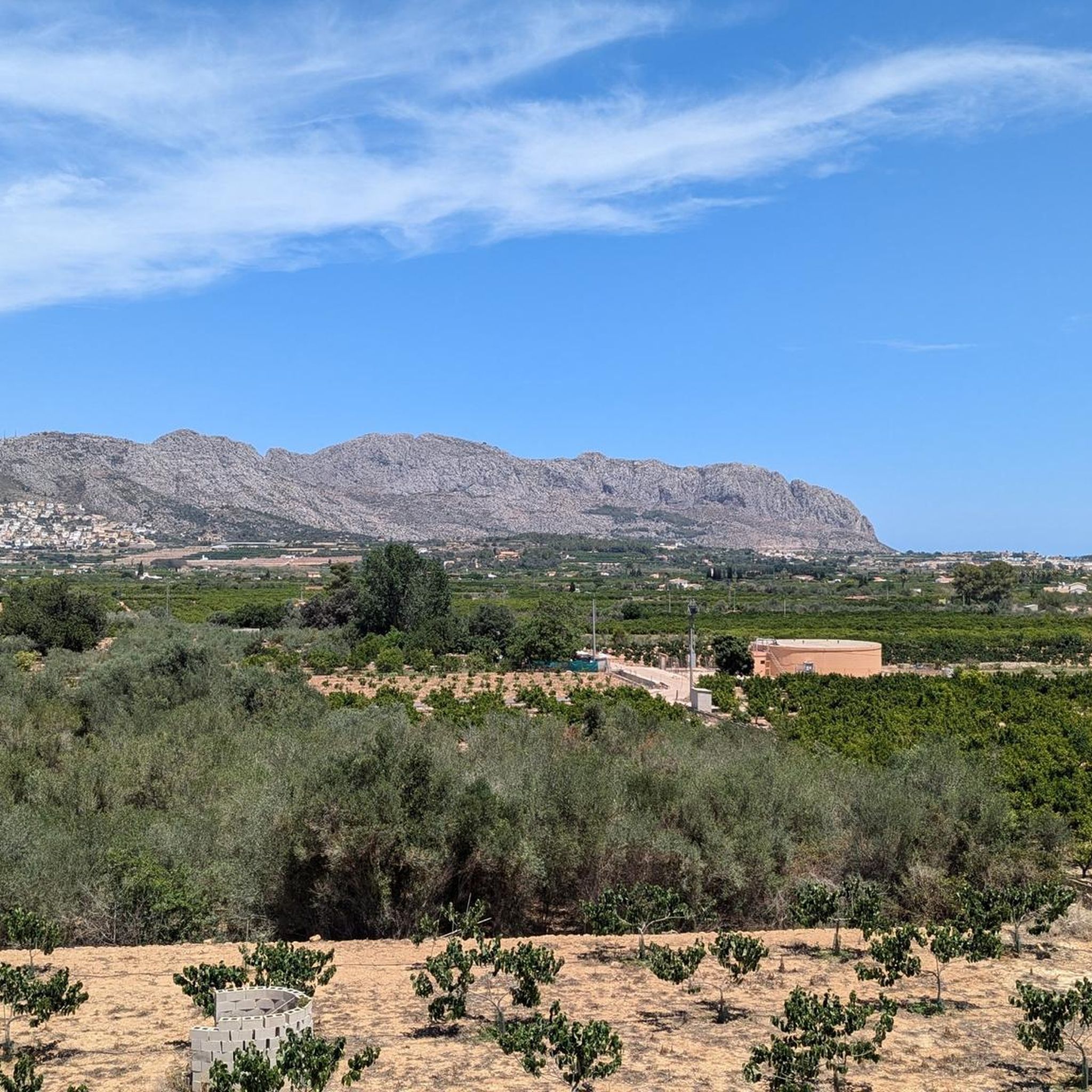
Mountaineering routes around Benidoleig are situated in the Marina Alta region of Alicante, Spain, offering diverse mountain activities. The area is characterized by its position at the foot of the Sierra de Seguili, featuring varied elevations, valleys, and dramatic mountain backdrops. This landscape provides opportunities for challenging hikes and ascents, with routes traversing both rugged terrain and agricultural surroundings like olive groves and citrus orchards.
Best mountaineering routes around Benidoleig
- The most popular mountaineering route is Rocky Staircase Trail –…
Last updated: June 24, 2026
4.5
(4)
5
hikers
10.1km
03:50
430m
430m
Moderate mountaineering route. Good fitness required. Mostly accessible paths. Sure-footedness required.
4.7
(3)
5
hikers
6.26km
02:27
280m
280m
Moderate mountaineering route. Good fitness required. Mostly accessible paths. Sure-footedness required.

Sign up for free
2
hikers
6.41km
02:17
240m
240m
Moderate mountaineering route. Good fitness required. Mostly accessible paths. Sure-footedness required.
5.0
(1)
1
hikers
6.28km
02:56
420m
420m
Moderate mountaineering route. Good fitness required. Mostly accessible paths. Sure-footedness required.
4.0
(1)
1
hikers
7.68km
02:49
350m
350m
Moderate mountaineering route. Good fitness required. Mostly accessible paths. Sure-footedness required.
Our route recommendations are based on thousands of hikes, rides, and runs completed by other people on komoot.
Start today with a free account
Your next adventure awaits.
Login or Signup

Tips from the Community


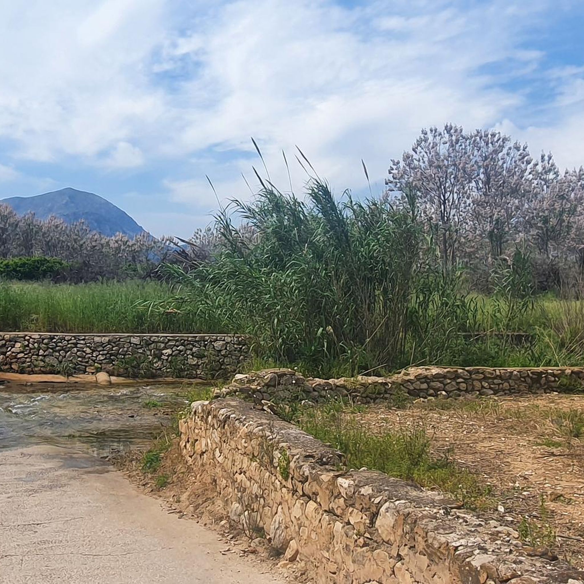
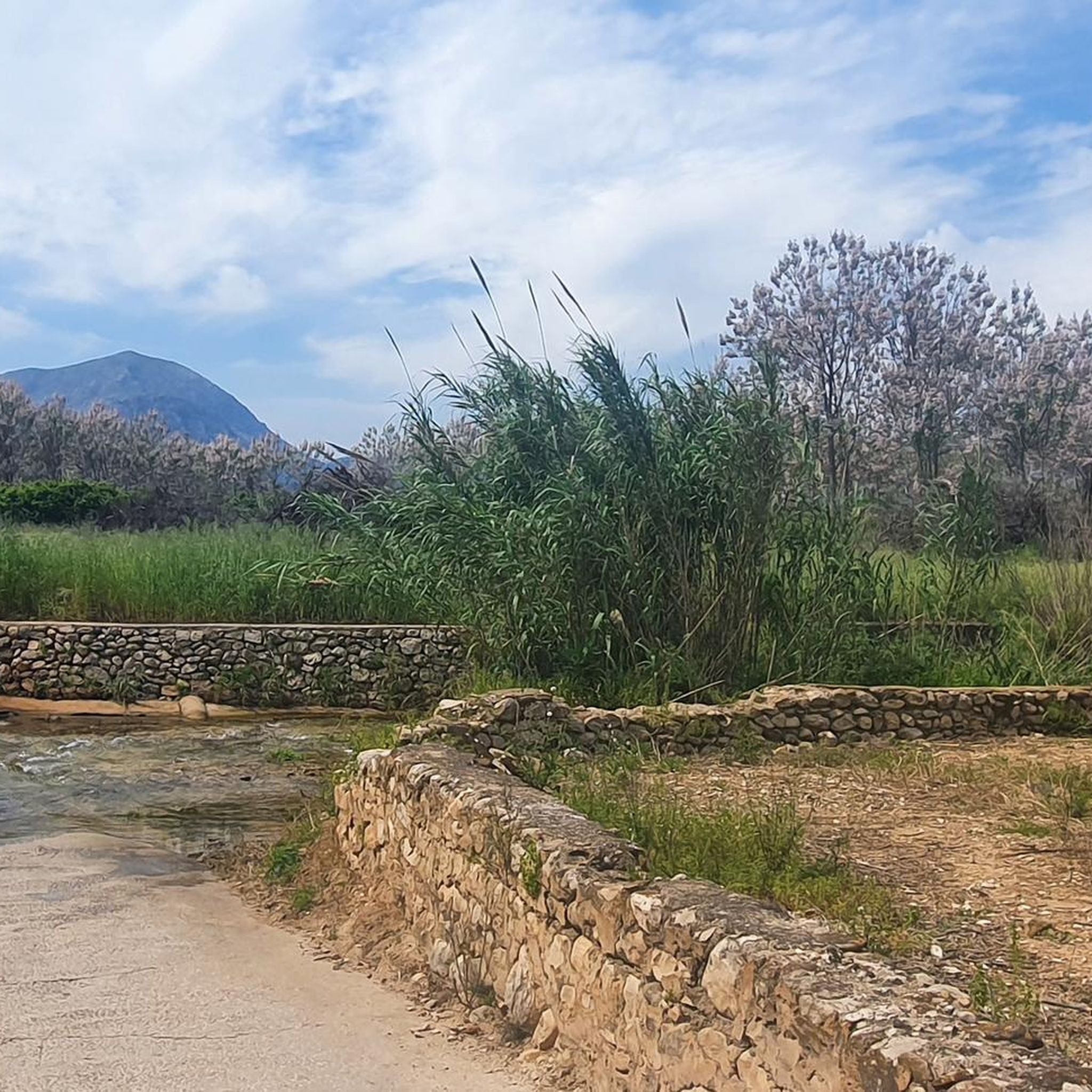
The first descent of 300m via a large section of the 6800 steps, brings you to the first barranco, Rio Girona
0
0


Beautiful cycling area with a nice winding and wooded route, wide roads and hardly any cars.
0
0

Former public laundry that served the town of Fleix and the neighboring rural community.
0
1
Beautiful view over the town of Campell.
0
0

Definitely do it. Walking in the riverbed is not boring at all and the cave is the ultimate experience.
0
1
Past the church you come to the plantations and signposts.
0
0
Frequently Asked Questions
How many mountaineering routes are available around Benidoleig?
There are over 5 mountaineering routes around Benidoleig, offering a range of experiences from moderate ascents to more challenging, difficult trails. The region is known for its varied terrain, situated at the foot of the Sierra de Seguili.
What kind of terrain can I expect on mountaineering routes near Benidoleig?
Mountaineering routes around Benidoleig traverse diverse landscapes, including rugged mountainous terrain, scenic valleys, and agricultural areas with olive groves and citrus orchards. You'll find varied elevations and dramatic mountain backdrops, characteristic of the Marina Alta region.
Are there any circular mountaineering routes in Benidoleig?
Yes, many of the routes around Benidoleig are circular. For example, the challenging Rocky Staircase Trail – Benimaurell Public Washhouse loop from el Campell is a popular circular option, covering 15.6 km with significant elevation gain. Another moderate circular route is the Font Grossa Washhouse – Benimaurell Washhouse loop from el Campell.
What are some moderate mountaineering options for beginners or families?
For those seeking a moderate experience, the Benimaurell Washhouse – Coll de Garga loop from la Vall de Laguar is a great choice. It's 6.3 km long and typically takes around 2 hours 27 minutes. Another good option is the Benimaurell Washhouse – View of Penyal Roig loop from la Vall de Laguar, which is slightly longer but also moderate.
How long do mountaineering routes near Benidoleig typically take?
The duration of mountaineering routes varies depending on their difficulty and length. Moderate routes like the Benimaurell Washhouse – Coll de Garga loop can be completed in under 2.5 hours, while more difficult trails such as the Rocky Staircase Trail can take over 6 hours.
Are there any interesting landmarks or viewpoints along the mountaineering routes?
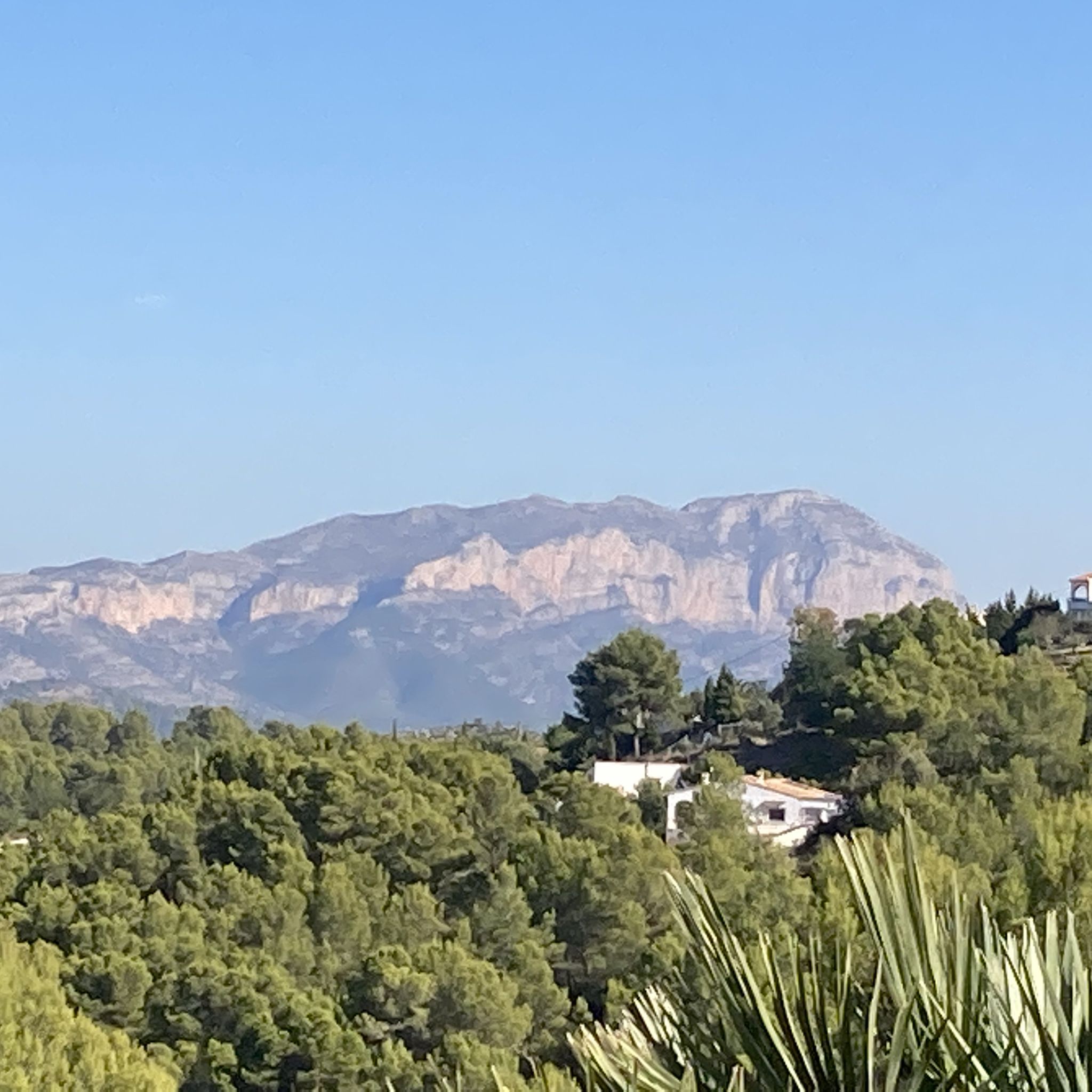
Yes, the region offers several points of interest. While on your mountaineering adventure, you might encounter views of the iconic Montgó mountain and the coastline. The wider area also features natural attractions like the impressive Coll de Rates mountain pass, known for its panoramic views, and the Vall d'Ebo Pass.
What is the best time of year for mountaineering in Benidoleig?
Benidoleig, being in the Marina Alta region of Alicante, Spain, generally offers pleasant conditions for mountaineering for much of the year. Spring and autumn provide milder temperatures, ideal for longer hikes. Even winter can be suitable, though some higher or more exposed routes might require extra preparation.
What do other mountaineers enjoy most about the routes in Benidoleig?
The mountaineering routes in Benidoleig are highly rated by the komoot community, with an average score of 4.5 stars. Reviewers often praise the diverse mountain terrain, the challenging ascents, and the stunning views of valleys and dramatic mountain backdrops that define the region.
Are there any dog-friendly mountaineering trails in Benidoleig?
While specific dog-friendly designations aren't always listed, many trails in the Benidoleig area, especially those through agricultural landscapes and less technical mountain paths, are suitable for well-behaved dogs on a leash. Always ensure your dog is fit for the chosen route and carry enough water for both of you.
What kind of gear is recommended for mountaineering in Benidoleig?
For mountaineering in Benidoleig, sturdy hiking boots with good ankle support are essential due to varied terrain and potential rocky sections. Depending on the route's difficulty, trekking poles can be beneficial. Always carry sufficient water, sun protection, and appropriate layers of clothing for changing mountain weather. For more challenging routes, sure-footedness and alpine experience are recommended.
Can I find places to eat or drink near the mountaineering routes?
Benidoleig and the surrounding villages offer local amenities where you can find cafes and restaurants to refuel after your mountaineering adventure. While specific establishments directly on the trails are rare, you'll find options within a short drive or walk from many trailheads.
Are there any routes with views of the coast or other significant natural features?
Yes, some routes offer spectacular views that extend to the coastline and beyond. The region's proximity to the coast means that higher vantage points can provide panoramic vistas. Additionally, the area is home to natural features like the Marjal de Pego-Oliva Natural Park, which can be seen from some elevated positions.
What is the elevation gain like on the mountaineering routes?
The elevation gain varies significantly across the routes. Moderate trails might have around 200-400 meters of ascent, such as the View of Dénia loop from Beniarbeig with 415 meters. More difficult routes, like the Rocky Staircase Trail, feature substantial climbs, reaching over 800 meters of elevation gain.
Most popular attractions around Benidoleig

Get inspired with the komoot mobile app


Explore more
Browse the best Mountain Hikes & Routes in other regions.
