The best road cycling routes around Cabeza Alta
255
riders
19
rides
Road cycling routes around Cabeza Alta traverse a landscape characterized by the Sierra de la Demanda mountain range, featuring significant elevation gains and challenging climbs. The region includes natural parks with glacial lakes and deep canyons, offering varied terrain for experienced cyclists. Routes often pass through areas with dense forests and open mountain passes.
Best road cycling routes around Cabeza Alta
- The most popular road cycling route is Circular por Neila y sus Lagunas — circular por el Parque natural…
Last updated: May 16, 2026
15
riders
Hard road ride. Very good fitness required. Mostly well-paved surfaces and easy to ride.
8
riders
75.4km
03:28
910m
910m
This difficult 46.9-mile road cycling route from Salas de los Infantes explores the charming villages and diverse landscapes of Sierra de la

Sign up for free
89.5km
03:59
920m
920m
This difficult 55.6-mile road cycling route through Sierra de Pinariega and Parque Natural Cañón del Río Lobos offers challenging climbs and
54
riders
82.6km
04:12
1,380m
1,380m
Hard road ride. Very good fitness required. Mostly well-paved surfaces and easy to ride.
24
riders
104km
05:07
1,540m
1,540m
Hard road ride. Very good fitness required. Mostly well-paved surfaces and easy to ride.
Get access to more routes and recommendations from other explorers.
Sign up for free
Already have an account?
Our route recommendations are based on thousands of hikes, rides, and runs completed by other people on komoot.
Start today with a free account
Your next adventure awaits.
Login or Signup


Tips from the Community


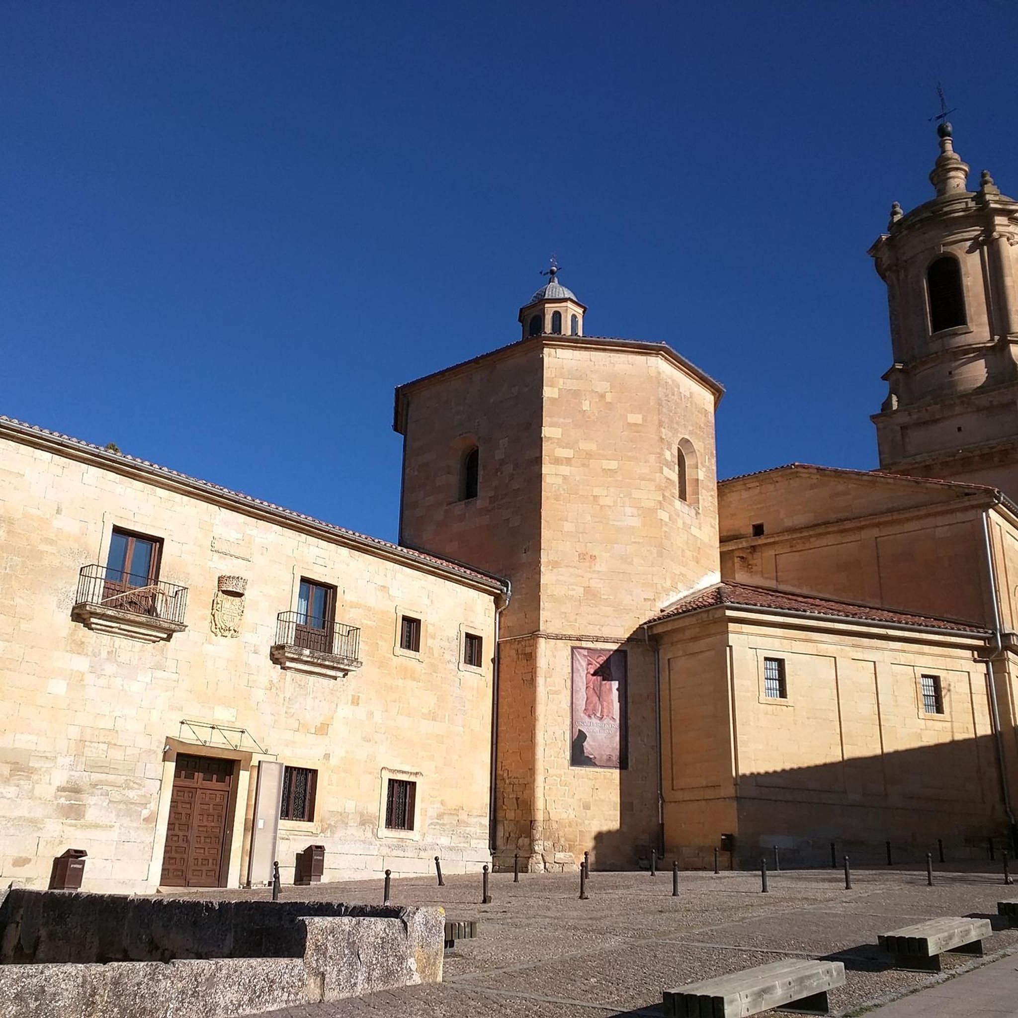
The Church of San Martín in Huerta de Arriba combines a Romanesque apse with a neoclassical nave built in 1729. Inside, the main altarpiece stands out, in a neoclassical style with Baroque influences. It is a good example of how different architectural styles coexist in a single rural church.
1
0
A beautiful place where you can start your routes
0
0

Salas de los Infantes is the capital of the Sierra de la Demanda region and is located in the valley of the Arlanza river. The origin of the town dates back to the 10th century. Among its main attractions are the church of Santa María, church of Santa Cecilia, the palace of the Infantes de Lara and Plaza Mayor.
1
0

Beautiful Romanesque church that stands in the small town of Jaramillo de la Fuente. The Romanesque Church was built in the 12th century called Nuestra Señora de la Asunción
0
0
Belonging to the municipality of Villaruebo are Mazueco de Lara and Quintanilla Cabrera, adding all of them a population of 59 inhabitants. It is located in the Sierra de la Demanda region, a perfect place to get to know not only Burgos but also its history.
0
0
Small town that is located near what is called the Sierra de Mancilla, which is further north. The town, small, is guarded by its church; Church of Santa Catalina.
0
0
Direction to the famous mountain pass not only because it takes you to the foothills of the Lagunas de Neila but also because of its climb that comes from the center of Quintanar de la Sierra.
0
0
Frequently Asked Questions
How many road cycling routes are available in the Cabeza Alta region?
There are over 19 road cycling routes documented in the Cabeza Alta region on komoot, offering a variety of challenging experiences for cyclists.
What kind of terrain can I expect on road cycling routes around Cabeza Alta?
The road cycling routes around Cabeza Alta are characterized by mountainous terrain, significant elevation gains, and challenging climbs. You'll traverse areas within the Sierra de la Demanda mountain range, passing through natural parks with glacial lakes, deep canyons, dense forests, and open mountain passes.
Are there any easy or beginner-friendly road cycling routes in Cabeza Alta?
The road cycling routes in Cabeza Alta are primarily designed for experienced cyclists seeking challenging routes. According to our data, there are no easy routes, and the majority are classified as moderate or difficult, featuring substantial elevation gains.
What are some of the most popular road cycling routes in Cabeza Alta?
Among the top choices are Circular por Neila y sus Lagunas — circular por el Parque natural Lagunas Glaciares de Neila, a difficult 61.5-mile route through a natural park with glacial lakes, and the Sierra de la Demanda Loop from Salas de los Infantes, a challenging 46.9-mile path with demanding climbs and descents.
What natural features or landmarks can I see along the road cycling routes?
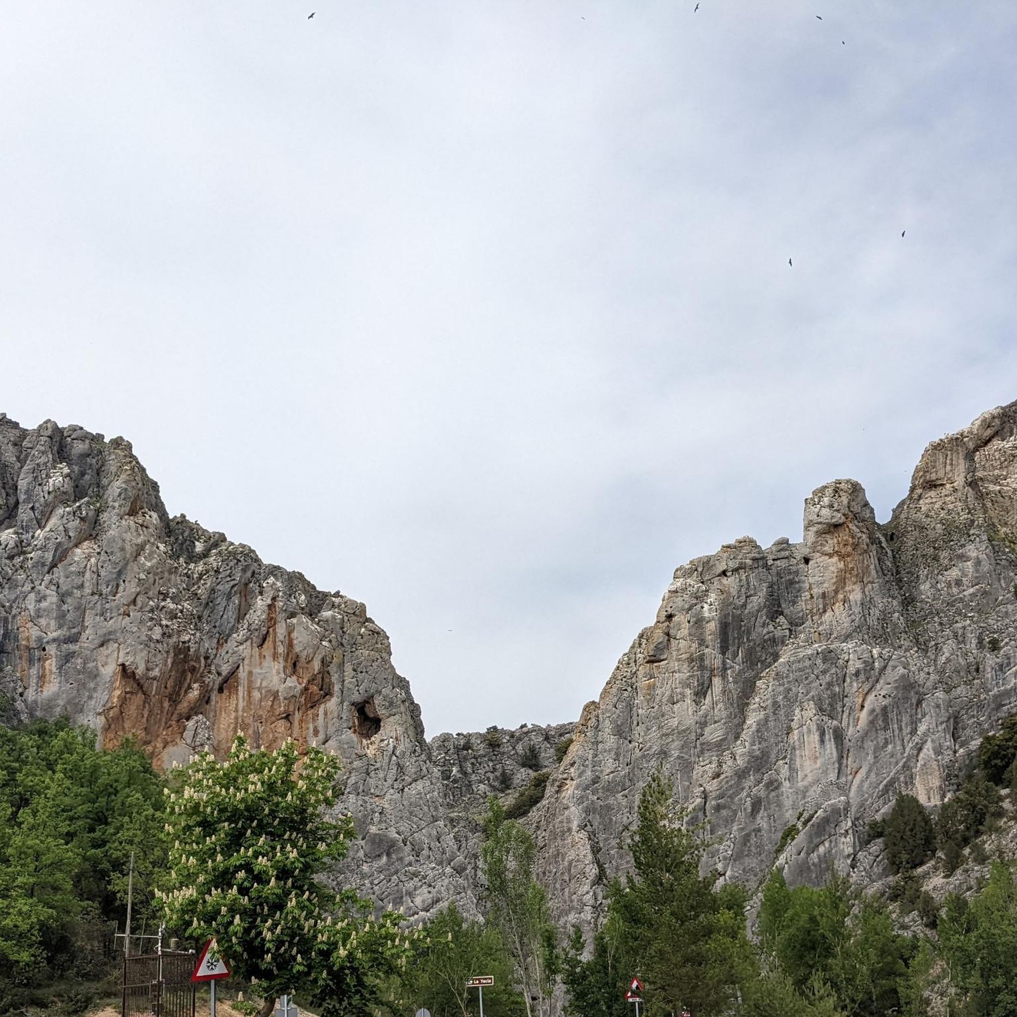
Many routes offer stunning views and pass by notable natural features. You might encounter glacial lakes within natural parks, deep canyons like the Cañón del Río Lobos, and various viewpoints. Specific highlights include the La Yecla Gorge and the View of Peña de Carazo.
Are there any historical or cultural attractions near the cycling routes?
Yes, the region offers a blend of natural beauty and historical sites. Cyclists can explore areas close to the Monasterio de Santo Domingo de Silos or the unique Sad Hill Cemetery, adding a cultural dimension to their rides.
What is the best time of year to go road cycling in Cabeza Alta?
Given the mountainous terrain and potential for snow in winter, the best time for road cycling in Cabeza Alta is typically from late spring through early autumn. This period offers more favorable weather conditions, though summer can bring warmer temperatures at lower elevations.
Are there any circular road cycling routes in Cabeza Alta?
Yes, many of the routes in Cabeza Alta are circular, allowing you to start and end your ride in the same location. An example is the Circular por Neila y sus Lagunas, which is a popular loop through a natural park.
Is public transport available to access road cycling routes in Cabeza Alta?
Information regarding specific public transport options directly serving the trailheads for road cycling in Cabeza Alta is limited. It is generally recommended to plan your journey with a vehicle for greater flexibility in accessing the more remote mountainous routes.
Are there cafes or accommodation options along the road cycling routes?
While specific cafes or accommodations directly on every route are not detailed, the region includes villages and towns like Salas de los Infantes and Mamolar (Mamolar Village) where you can typically find services, including places to eat and stay. Planning your route to pass through these settlements is advisable for breaks.
Are the road cycling routes in Cabeza Alta suitable for families with children?
Due to the challenging nature of the terrain, with significant elevation gains and difficult classifications, most road cycling routes in Cabeza Alta are not typically recommended for families with young children or beginner cyclists. They are better suited for experienced riders.
What do other road cyclists enjoy most about cycling in Cabeza Alta?
Road cyclists frequently praise the challenging mountainous terrain, the rewarding climbs, and the stunning natural landscapes, including glacial lakes and deep canyons. The region offers a unique experience for those seeking demanding rides amidst beautiful scenery.
Most popular attractions around Cabeza Alta

Get inspired with the komoot mobile app


Explore more
Browse the best Road cycling routes in other regions.
