The best walks and hikes around Aguarón
4.9
(19)
123
hikers
26
hikes
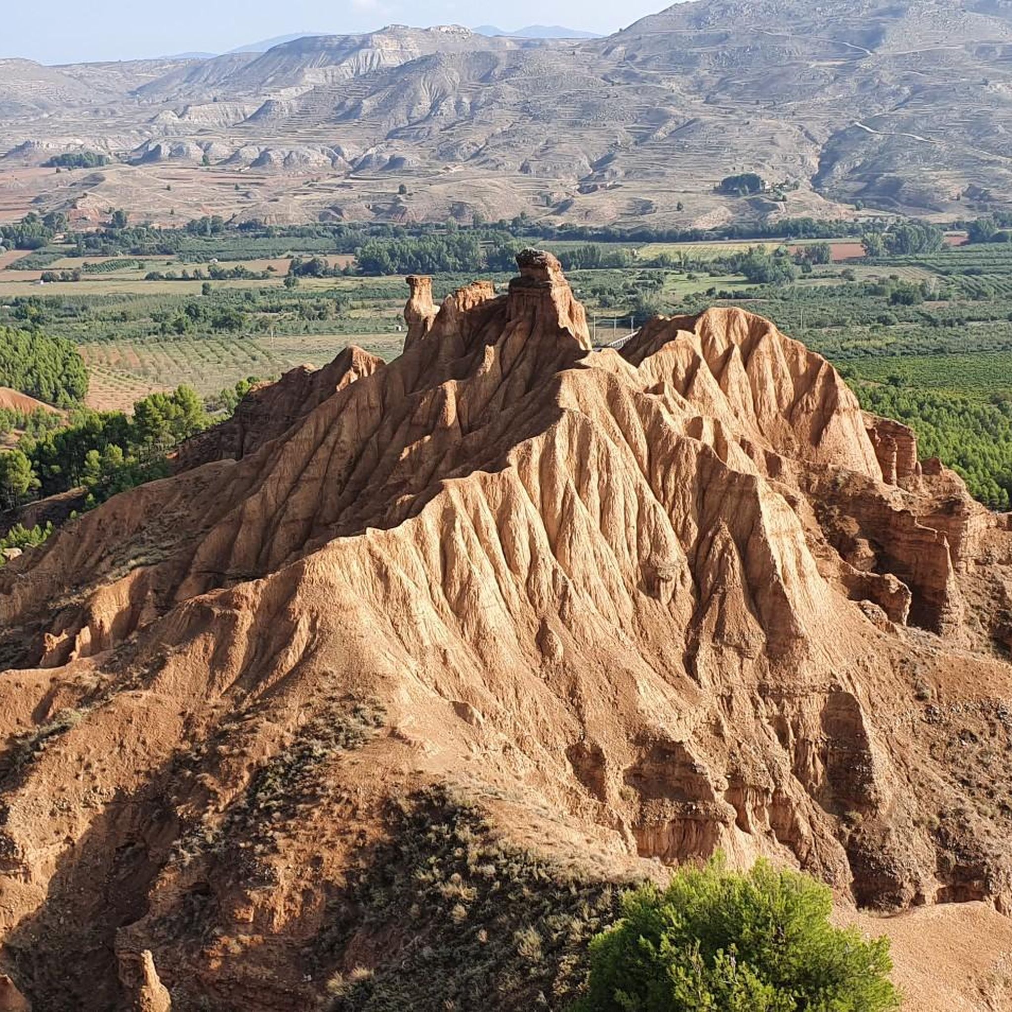
Hiking trails around Aguarón, located in the Aragón region of Spain, traverse diverse landscapes characterized by the Sierra de Algairén. The area features varied elevations, from accessible paths to more challenging ascents, and includes forested sections like El Santo park. This terrain offers a range of options for different fitness levels, showcasing the region's natural beauty.
Best hiking trails around Aguarón
- The most popular hiking route is Cerro del Espino from Raso de la Cruz via Monte Mosomero — circular Sierra de Algairén, a 10.7 miles (17.2 km) trail that takes about 5 hours 57 minutes to complete. This difficult route offers significant elevation gain within the Sierra de Algairén.
- Another top favourite among local hikers is Aunt's Trail – Picnic Area with Wooden Cabin loop from Albergue de Aguarón, a moderate 8.2 miles (13.2 km) path. This trail leads through varied terrain, including forested sections and open landscapes, with views of the surrounding hills.
- Local hikers also love the Aunt's Trail – Picnic Area with Wooden Cabin loop from Parque del Raso de la Cruz, a 4.7 miles (7.6 km) trail leading through a mix of wooded areas and clearings, often completed in about 2 hours 46 minutes.
- Hiking around Aguarón is defined by its diverse landscapes, including the Sierra de Algairén, varied elevations, and forested areas. The network offers options for different ability levels, from easy strolls to more challenging ascents.
- The routes in Aguarón are highly rated by the komoot community with an average score of 4.9 stars from over 10 reviews. More than 100 hikers have used komoot to explore Aguarón's varied terrain.
Last updated: June 28, 2026
4
hikers
Hard hike. Very good fitness required. Easily-accessible paths. Suitable for all skill levels.
5.0
(4)
25
hikers
Moderate hike. Good fitness required. Easily-accessible paths. Suitable for all skill levels.

Sign up for free
5.0
(2)
16
hikers
Moderate hike. Good fitness required. Easily-accessible paths. Suitable for all skill levels.
4.7
(3)
13
hikers
Moderate hike. Good fitness required. Easily-accessible paths. Suitable for all skill levels.
5.0
(3)
11
hikers
19.9km
06:21
770m
770m
Hard hike. Very good fitness required. Easily-accessible paths. Suitable for all skill levels.
Get access to more routes and recommendations from other explorers.
Sign up for free
Already have an account?
Our route recommendations are based on thousands of hikes, rides, and runs completed by other people on komoot.
Start today with a free account
Your next adventure awaits.
Login or Signup



Tips from the Community

Crossroads between the Valdemadera peak, the Tiermas valley and Cerro del Espino
0
0

Beautiful hill located in the middle of a long trail.
0
0
A mountain pass with beautiful views of the Aljairén mountain range. It can be accessed via a well-maintained forest trail that ends at the pass, and then there are several trails to continue. The pass can also be accessed via a very long trail.
0
0

Located at an altitude of 1,058 meters and in the beautiful Sierra de Algairén, we find the Collado de la Luz or also called El Cuervo with panoramic views of the mountains that will not leave us indifferent. Near the pass is the Cerro del Espino
2
0
We find beautiful views from the Tío Franisco pass, a connection point between the Cosuenda area and the Tiernas de Alpartir ravine
1
0
Cerro del Espino is located in the center of the Sierra de Algairén, between Almonacid de la Sierra and Cosuenda, which is 50 kilometers from Zaragoza. At the top of this mountain, we will find a metal cross that is usually adorned with handkerchiefs and the typical cachirulo of the Aragonese lands.
1
0
Located 1038 meters above sea level and on the path of La Lechera, we find this beautiful picture in the Collado de la Hermana with views of the top of Monte del Cortado
1
0
We find ourselves going up the ravine of the hortales, by the path known as the one of the Tía. It will guide us until we reach the North range of the Sierra de Algairén. Nice path with awesome views when you reach the top.
1
0
Frequently Asked Questions
How many hiking trails are available around Aguarón?
There are over 25 hiking trails documented on komoot around Aguarón, offering a wide range of options for different fitness levels and preferences. These include easy strolls, moderate loops, and more challenging ascents within the Sierra de Algairén.
Are there easy hiking trails suitable for beginners or families in Aguarón?
Yes, Aguarón offers several easy hiking trails. There are 4 routes specifically categorized as easy, perfect for beginners or families looking for a relaxed outdoor experience. These paths typically involve less strenuous activity and minimal elevation gain.
What kind of landscapes can I expect to see on hikes around Aguarón?
Hiking around Aguarón will take you through diverse landscapes, primarily characterized by the Sierra de Algairén. You'll encounter varied elevations, from gentle slopes to more challenging ascents, as well as forested sections like those found in El Santo park. The region's natural beauty includes scenic views of the surrounding hills and mountains.
Are there any circular hiking routes in Aguarón?
Yes, many of the trails around Aguarón are circular, allowing you to start and end at the same point. An example is the moderate Aunt's Trail – Picnic Area with Wooden Cabin loop from Albergue de Aguarón, which takes you through varied terrain. For a more challenging circular option, consider the difficult Cerro del Espino from Raso de la Cruz via Monte Mosomero — circular Sierra de Algairén.
What are some notable viewpoints or natural features to look out for on the trails?
The Sierra de Algairén offers many scenic vistas. Trails like the Cerro del Espino from Raso de la Cruz provide significant elevation gain, rewarding hikers with expansive views. You can also explore mountain passes such as Collado de la Luz and Collado del Tío Francisco, which are highlights in the area.
What do other hikers say about the trails in Aguarón?
The hiking routes in Aguarón are highly rated by the komoot community, with an average score of 4.9 stars from over 19 reviews. Hikers often praise the diverse landscapes, the variety of difficulty levels, and the well-maintained paths that showcase the region's natural beauty.
Are there any historical or cultural attractions near the hiking trails?
Yes, you can combine your hike with visits to nearby cultural sites. Notable attractions include the Sanctuary of the Virgin of the Lagoons and the Hermitage of the Virgin of the Eagle. The Longares Mudejar Tower is also an interesting historical landmark in the vicinity.
What is the best time of year to go hiking in Aguarón?
Aguarón, located in the Aragón region, generally offers pleasant hiking conditions for much of the year. Spring and autumn are often ideal, with milder temperatures and vibrant natural scenery. While specific weather can vary, the diverse trails mean you can find suitable options across different seasons, though summer can be hot and winter may bring colder conditions at higher elevations.
Are there any challenging or advanced hiking routes in Aguarón?
Absolutely. For experienced hikers seeking a challenge, Aguarón offers 3 difficult routes. A prime example is the Cerro del Espino from Raso de la Cruz via Monte Mosomero — circular Sierra de Algairén, a 17.2 km trail with significant elevation gain that takes nearly 6 hours to complete. Another difficult option is the Collado del Tío Francisco – Collado de la Luz loop from Cosuenda.
Is there parking available at the trailheads in Aguarón?
While specific parking details for every trailhead are not always listed, many popular hiking areas in regions like Aguarón typically have designated parking spots. For routes starting from places like Raso de la Cruz or Parque del Raso de la Cruz, it is common to find parking facilities nearby, making access convenient for hikers.
Can I find places to eat or drink near the hiking trails in Aguarón?
Aguarón is a small town, and while specific cafes or pubs directly at every trailhead might be limited, you can generally find establishments within the town itself or nearby villages. It's advisable to check local listings for cafes and restaurants in Aguarón or surrounding areas like Cosuenda before your hike.
Are there any specific trails that lead through El Santo park?
El Santo park, known for its pleasant spring and abundant trees, is a serene environment within Aguarón. While specific komoot routes directly named 'El Santo park trail' are not listed, many local paths and loops in the area would likely traverse or pass near this beautiful forested section, offering a tranquil walking experience.
Most popular attractions around Aguarón

Get inspired with the komoot mobile app


Explore more
Browse the best Hikes in other regions.
