The best running trails around San Martín De La Virgen De Moncayo
4.0
(2)
795
runners
68
runs
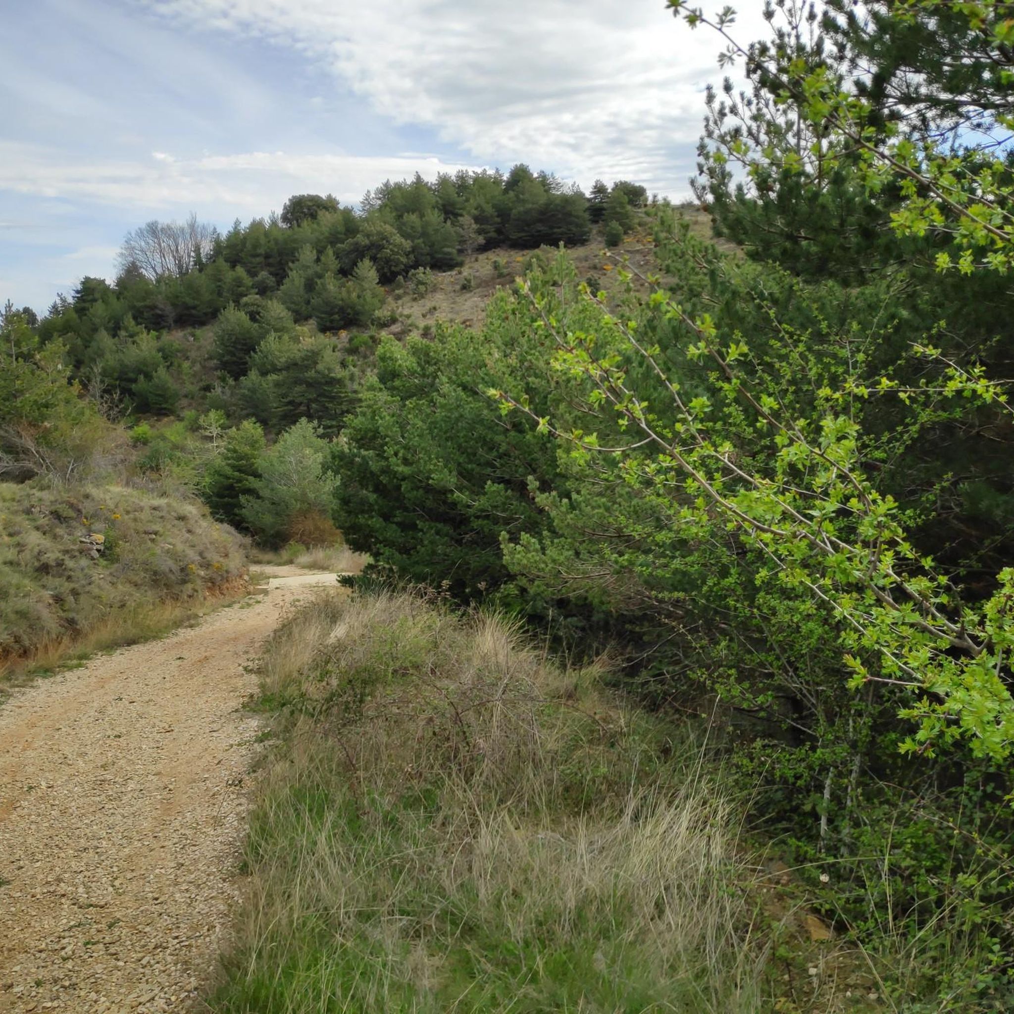
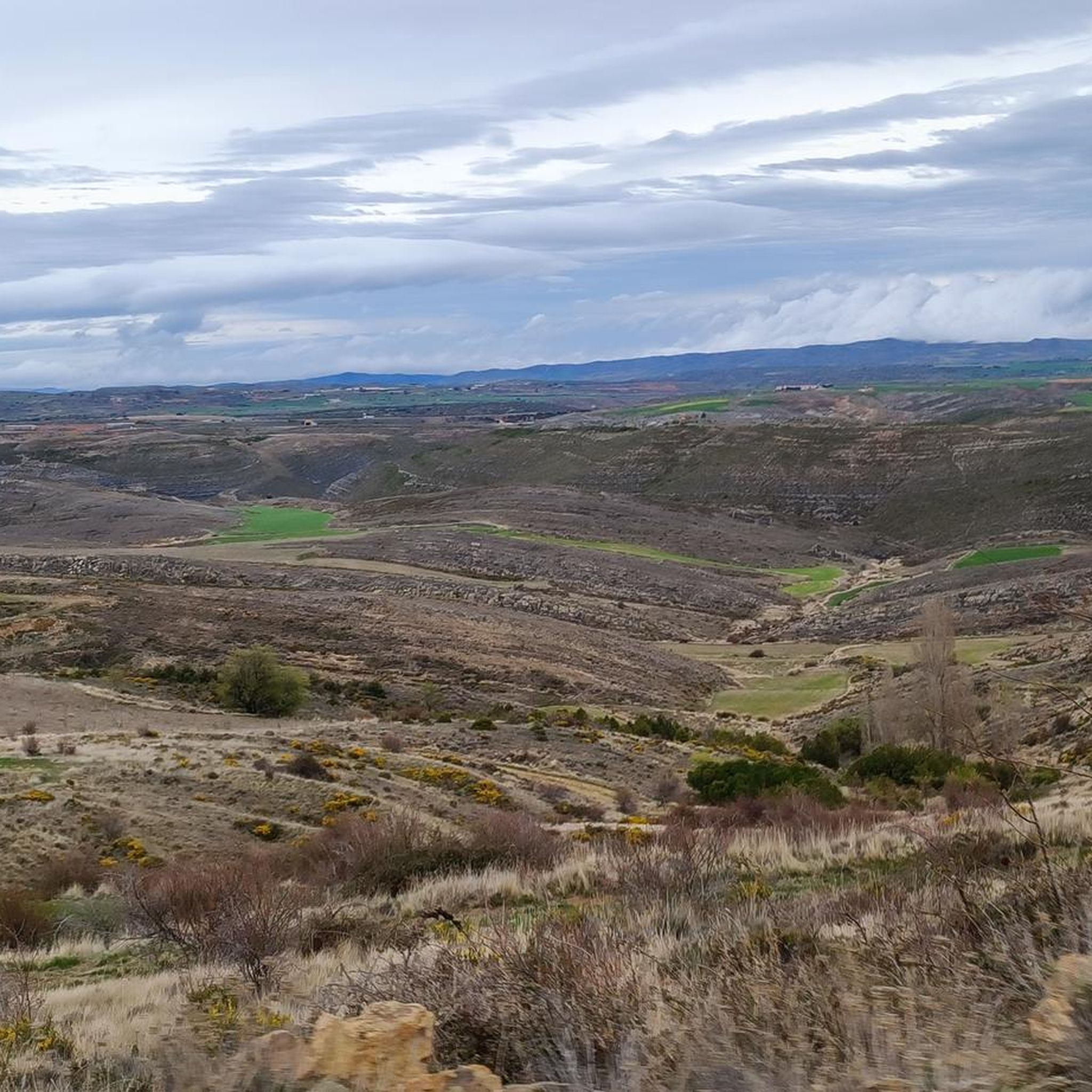
Jogging around San Martín De La Virgen De Moncayo offers routes through varied terrain, characterized by significant elevation changes and views of the Moncayo massif. The region features a mix of open landscapes and paths leading towards prominent peaks. Runners can expect challenging ascents and descents across these trails.
Best jogging routes around San Martín De La Virgen De Moncayo
- The most popular jogging route is Cerro de San Juan loop from Parking Peña Roya, an 8.7 miles (13.9…
Last updated: July 4, 2026
59
runners
13.9km
02:33
1,070m
1,070m
Hard run. Very good fitness required. Sure-footedness, sturdy shoes and alpine experience required.
56
runners
25.1km
04:39
1,790m
1,790m
Hard run. Very good fitness required. Sure-footedness, sturdy shoes and alpine experience required.

Sign up for free
43
runners
Hard run. Very good fitness required. Mostly paved surfaces. Suitable for all skill levels.
30
runners
15.9km
03:02
1,230m
1,230m
Hard run. Very good fitness required. Sure-footedness, sturdy shoes and alpine experience required.
27
runners
29.4km
04:39
1,630m
1,630m
Hard run. Very good fitness required. Sure-footedness, sturdy shoes and alpine experience required.
Get access to more routes and recommendations from other explorers.
Sign up for free
Already have an account?
Our route recommendations are based on thousands of hikes, rides, and runs completed by other people on komoot.
Start today with a free account
Your next adventure awaits.
Login or Signup


Tips from the Community

This small town of fewer than 300 inhabitants boasts a mycology center. It is also home to the Church of San Martín de Tours, a neo-Romanesque church with colonial American art.
0
0

The Prado de Santa Lucía Snow Well is located near San Martín de Moncayo, in the province of Zaragoza, within the natural setting of the Moncayo Natural Park. This well is a traditional construction formerly used to store snow during the winter, which was then compacted and preserved for medical, food, or refrigeration purposes during warmer seasons. It is a semi-buried structure with stone walls and a vaulted roof, designed to retain the cold for months.
1
0

The summit of Moncayo, also known as Pico San Miguel, is the highest mountain in the Iberian system, with an altitude of 2315 metres. It is located between the provinces of Zaragoza (Aragon) and Soria (Castile and Leon) in Spain. To reach the summit, many hikers start from the Sanctuary of the Virgin of Moncayo, located at 1621 metres. From there, the route passes through the Cucharón cirque and the San Miguel basin before reaching the summit. The route offers spectacular views and is especially popular in spring and summer.
5
0
After climbing the firebreak and before facing the technical descent, it is advisable to stop for 5 minutes to observe the landscape.
0
0

Moncayo never disappoints. From Cueva de Agreda the climb is longer and harder, but it is worth the sacrifice. The views from the summit, towards Aragon and towards Castilla, are impressive.
1
0

Impressive views that can be seen: the Pyrenees, the Ebro depression...
1
0

It is a beautiful place in the Moncayo natural park, with parking, a fountain and the beginning of paths to cross the spectacular beech, oak and pine forest.
3
1
Frequently Asked Questions
How many running routes are available in San Martín De La Virgen De Moncayo?
There are over 60 dedicated running routes around San Martín De La Virgen De Moncayo, offering a wide range of options for different skill levels and preferences. The komoot community has explored these trails extensively, providing valuable insights.
Are there any easy jogging routes suitable for beginners in San Martín De La Virgen De Moncayo?
The running routes in San Martín De La Virgen De Moncayo are primarily characterized by significant elevation changes, making most of them fall into the moderate to difficult categories. Currently, there are no routes specifically classified as easy for beginners in our selection, but many moderate trails can be approached at a slower pace.
What kind of challenges can I expect on advanced running trails in this region?
Advanced running trails in San Martín De La Virgen De Moncayo, such as the Pico Lobera loop from Parking Peña Roya, feature substantial ascents and descents, often covering distances of 15 miles (25 km) or more with over 5,800 feet (1,700 meters) of elevation gain. These routes demand good physical condition and experience with mountainous terrain.
Are there any circular running routes in San Martín De La Virgen De Moncayo?
Yes, many of the running routes in the area are circular, allowing you to start and finish at the same point. A popular example is the Cerro de San Juan loop from Parking Peña Roya, which offers an 8.7-mile (13.9 km) circuit with views of the Moncayo massif.
What is the best time of year for running in San Martín De La Virgen De Moncayo?
The best time for running in San Martín De La Virgen De Moncayo is generally during spring and autumn when temperatures are milder and the landscapes are vibrant. Summer can be hot, especially at lower elevations, while winter may bring snow and ice to higher parts of the Moncayo massif, requiring appropriate gear and caution.
Can I find running routes with good viewpoints in the area?
Absolutely. The region is known for its prominent peaks and scenic vistas. Many routes offer expansive views of the Moncayo massif and the surrounding landscapes. For instance, the Ascent through Castilla – View of Moncayo loop from San Martín de la Virgen de Moncayo provides clear views of Moncayo. You can also find specific viewpoints like Peña del Tío Fresquito or View of Moncayo along various trails.
Are there places to explore or landmarks along the running paths?
Yes, the area around San Martín De La Virgen De Moncayo offers several interesting landmarks. While running, you might encounter historical sites or natural features. Notable attractions include the Moncayo Summit itself, or the historic town of Tarazona nearby. The Monastery of Santa María de Veruela is also a significant cultural highlight in the vicinity.
Where can I find parking near the running trails?
Many routes, especially those leading to popular peaks, often start from designated parking areas. For example, both the Cerro de San Juan loop and the Pico Lobera loop begin from Parking Peña Roya, making access convenient for runners arriving by car.
What do other runners say about the trails in San Martín De La Virgen De Moncayo?
The running routes in San Martín De La Virgen De Moncayo are highly rated by the komoot community, with an average score of 4.0 stars. Runners frequently praise the challenging ascents, the rewarding panoramic views of the Moncayo massif, and the varied terrain that keeps each run engaging.
Are there any hidden gem running trails in the San Martín De La Virgen De Moncayo region?
While many trails are well-known, the extensive network around Moncayo means there are always less-traveled paths to discover. For a challenging and immersive experience away from the most popular spots, consider the Ascent through Castilla loop from PR-Z 5, which offers a substantial climb and a sense of solitude.
Are dogs allowed on the running trails in San Martín De La Virgen De Moncayo?
Generally, dogs are welcome on many outdoor trails in the region, especially in natural parks and rural areas. However, it's always advisable to keep them on a leash, especially in areas with livestock or protected wildlife, and to check specific regulations for any nature reserves you plan to enter.
Are there any family-friendly running options in San Martín De La Virgen De Moncayo?
Given the challenging nature of most routes with significant elevation changes, many trails are better suited for experienced runners. For families, shorter, flatter sections of trails or paths around the villages might be more appropriate, though these are not specifically highlighted as dedicated running routes in our current selection.
Most popular routes around San Martín De La Virgen De Moncayo
Most popular attractions around San Martín De La Virgen De Moncayo

Get inspired with the komoot mobile app


Explore more
Browse the best Running Trails & Routes in other regions.
