The best walks and hikes around Talamantes
4.8
(33)
189
hikers
26
hikes
Hiking around Talamantes offers diverse landscapes near the Moncayo Massif, a prominent natural feature. The region is characterized by varied terrain, including mountain ascents and natural formations. Opportunities for exploration include areas around Pico Moncayo and sites like Pozo de los Aines. This area provides a range of hiking experiences for outdoor enthusiasts.
Best hiking trails around Talamantes
- The most popular hiking route is Peñas de Herrera - circular from Talamantes, a 9.4 miles (15.1 km) trail that takes…
Last updated: May 20, 2026
4.4
(9)
54
hikers
15.0km
04:50
650m
650m
Moderate hike. Good fitness required. Easily-accessible paths. Suitable for all skill levels.
4.7
(3)
10
hikers
15.7km
05:28
890m
890m
Hike a difficult 9.7-mile circular route to Cueva de los Pilares and Pico Morrón, gaining 2909 feet with panoramic views.

Sign up for free
5.0
(1)
7
hikers
8.77km
02:24
130m
130m
Moderate hike. Good fitness required. Easily-accessible paths. Suitable for all skill levels.
5.0
(1)
8
hikers
9.57km
02:53
300m
300m
Moderate hike. Good fitness required. Easily-accessible paths. Suitable for all skill levels.
7
hikers
9.16km
03:02
440m
440m
Moderate hike. Good fitness required. Easily-accessible paths. Suitable for all skill levels.
Get access to more routes and recommendations from other explorers.
Sign up for free
Already have an account?
Our route recommendations are based on thousands of hikes, rides, and runs completed by other people on komoot.
Start today with a free account
Your next adventure awaits.
Login or Signup

Other adventures around Talamantes

Tips from the Community

Talamantes is a fantastic starting point for exploring the Moncayo region, with trails that blend forest, mountains, and ravines. Paths like the one leading to the Valdetreviño ravine start right from the village, perfect for walks with great views and no crowds. Plus, it's small and peaceful, ideal for stopping, having a bite to eat, and recharging after your hike.
1
0
Añón de Moncayo retains a medieval atmosphere in its streets and buildings, where the influence of the Order of St. John of Jerusalem is still evident. Construction of the castle began in 1238, during the reign of James I of Aragon, to protect the area, as the town was strategically located between kingdoms.
0
0

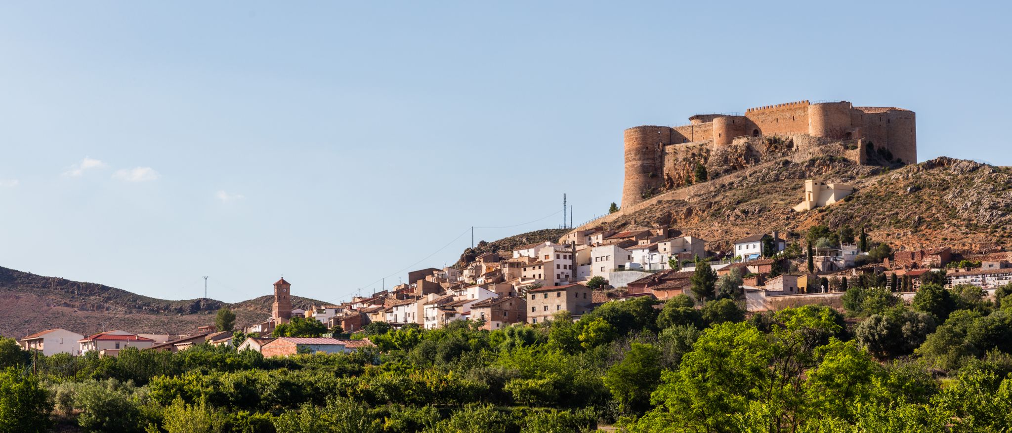
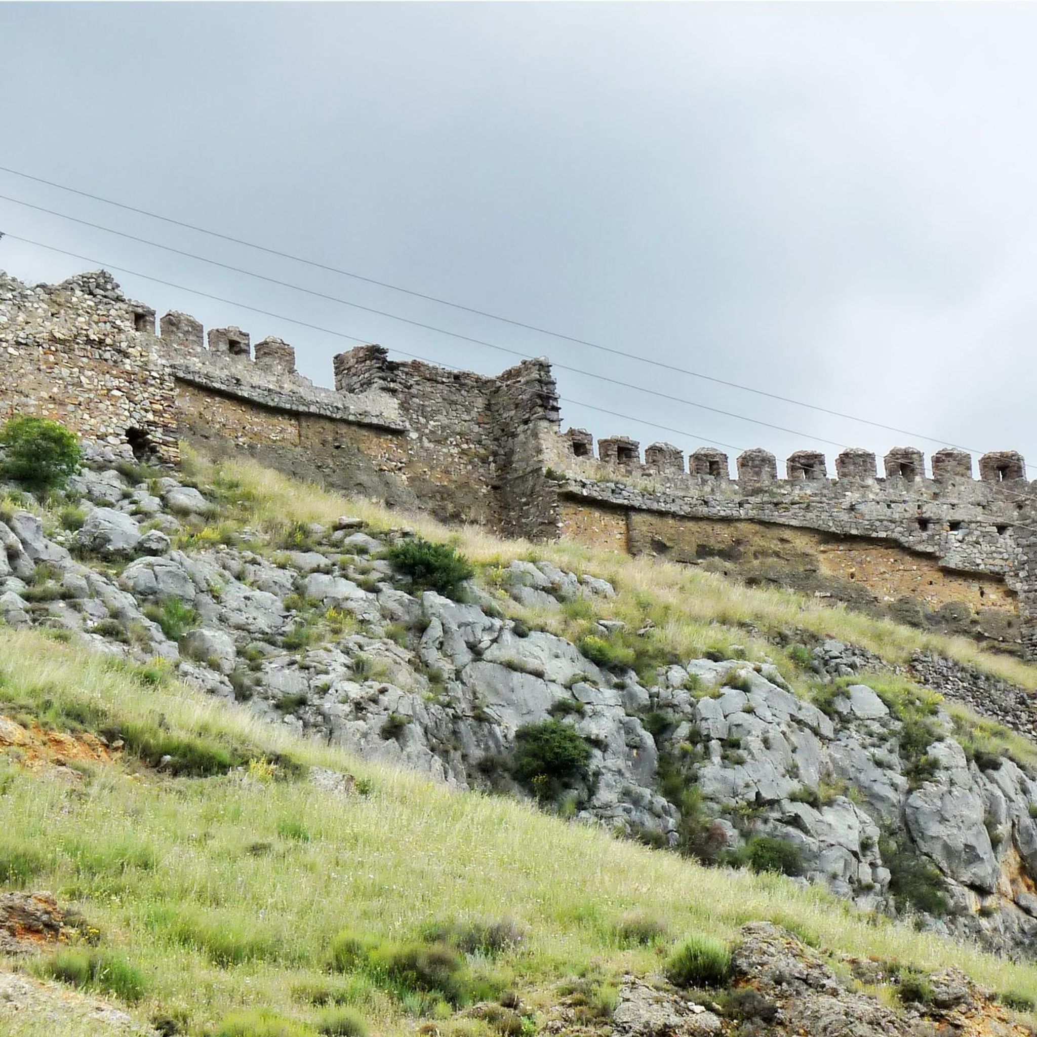
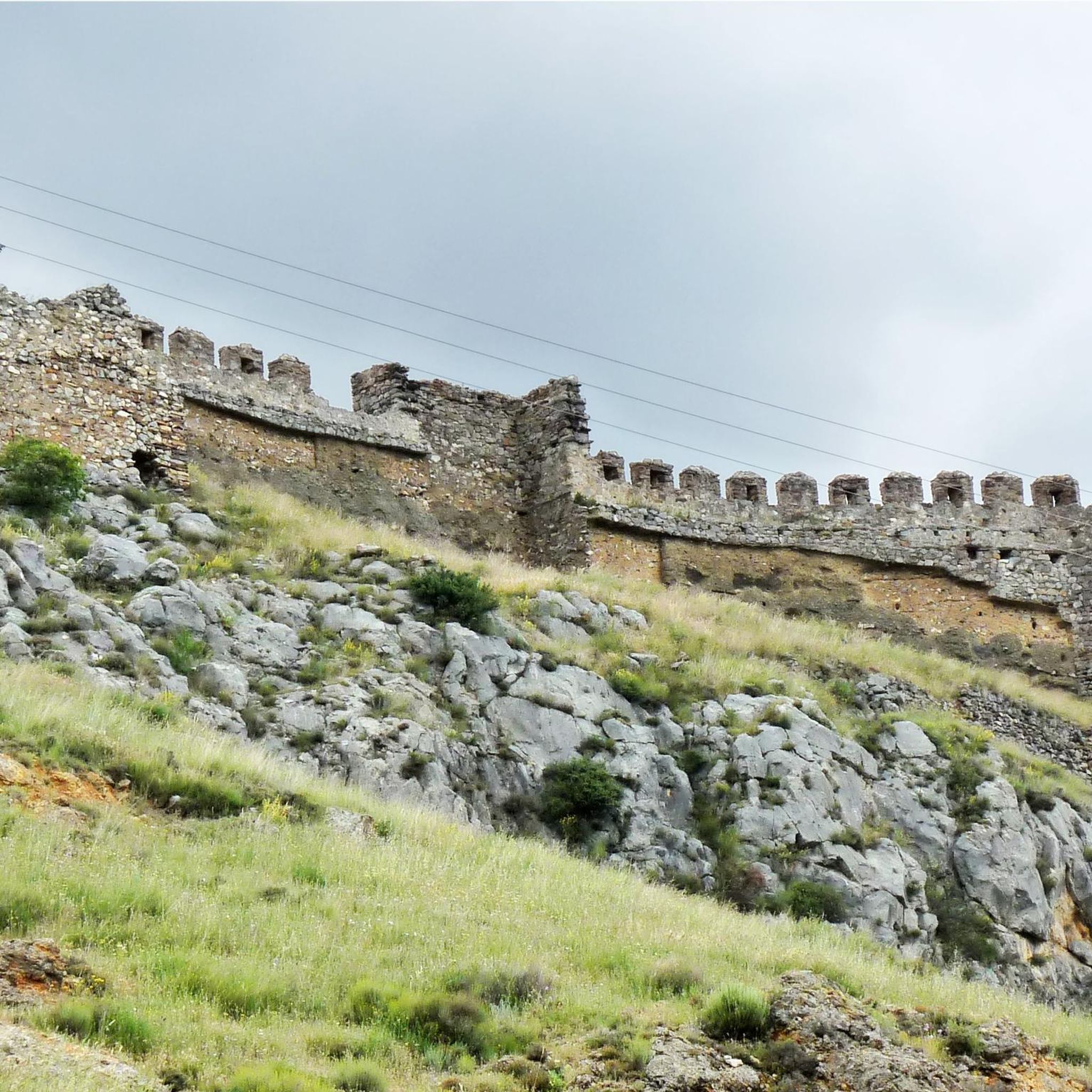
The Talamantes castle was built in the 11th century with the purpose of defending the border crossing between Castile and Aragon in the Valdeherrera and Valdetreviño ravines. Although much of the fortification is in a state of ruin, the north wall and one of its towers are still quite well preserved.
0
0
The Valdeherrera ravine connects the town of Talamantes with the Estacas hill, a point where the GR 90 forks into two variants. The ravine, although it consists of steep slopes, offers fantastic views of the surrounding rocks.
1
0

At the Collado de la Atalaya you have to head northeast along the slope of the mountain range following a level path marked with stone markers. The path crosses the Las Hoyas de los Portillos valley and climbs halfway through the pine forest towards the wall of the Muela del Cerro Morrón. In the pine forest you have to keep climbing towards the east and at the base of the walls connect with the path coming from the north face of the mountain. The landmarks are clear between the pine trees and the mole wall, they jump a couple of small slopes near other cavities and lead to the spectacular Cueva de los Pilares, a fantastic natural rock sanctuary with arches, vaults and giant columns. The climb to the summit of the mole leaves from the cave through the canal located to the west, it is a clear and obvious climb, it has stone markers and although it seems that there is no exit with good visibility, it is a simple section along some aerial ledges without too many complications, unless the rock is wet, it cannot even be classified as a climbing step, rather technical mountain hiking. The milestones enter the large inclined molar plain and take the direction of the summit through the center of the mountain.
0
1
At Cerro Morrón (1,730 m) there is a trig point and good views of the Moncayo massif. The visible summit is Lobera (2,226 m) and behind it the distant San Miguel peak (2,315 m), simply showing the silhouette of the summit. And below the pedestal of the great mountain covered by endless forests of pines, oaks and beech trees. Towards the north the enormous plain of the Ebro valley and around it the rest of the reliefs of the eastern Iberian region.
0
0

The Herrera rocks are formations that break the smooth crest of the mountain and resemble castles. From this point you can see its peaks, to the southeast.
0
0

We are located in the village of Talamantes, within the Moncayo Natural Park, from where we can see the remaining walls of Talamantes Castle, located at the top of the hill. Also known as the fortress of Monte Silla.
1
0
Frequently Asked Questions
How many hiking trails are available around Talamantes?
There are over 25 hiking routes in the Talamantes area, offering a variety of experiences. These include 1 easy, 21 moderate, and 4 difficult trails, catering to different fitness levels.
What kind of terrain can I expect when hiking near Talamantes?
The terrain around Talamantes is diverse, influenced by the nearby Moncayo Massif. You can expect varied landscapes, from challenging mountain ascents to rugged paths and areas near natural caves. Trails often feature significant elevation changes, providing panoramic views.
Are there any circular hiking routes in Talamantes?
Yes, Talamantes offers several circular hiking routes. A popular option is the Peñas de Herrera - circular from Talamantes, a moderate 15.1 km trail. Another is the challenging Cueva de los Pilares and Cerro Morrón Loop, covering 15.7 km with substantial elevation gain.
What natural features or landmarks can I see on the trails?
Hiking around Talamantes allows you to explore several natural features and landmarks. You can discover the Cueva de los Pilares, enjoy views from Cabezo de la Mata, or reach the Cerro Morrón Summit. The Valcongosto Gorge and the Views of the Peñas de Herrera also offer scenic highlights.
Are there any easy hiking routes suitable for beginners?
While many routes are moderate to difficult, there is at least one easy hiking route available. For a moderate option that is not overly strenuous, consider the Cuevas de Añón loop from Alcalá de Moncayo, which is 8.8 km long and takes about 2 hours 24 minutes.
What do other hikers say about the trails in Talamantes?
The hiking trails in Talamantes are highly regarded by the komoot community, with an average rating of 4.8 stars from nearly 30 reviews. Hikers often praise the diverse landscapes and the opportunities for exploring natural formations and mountain scenery.
Is Talamantes a good destination for family-friendly hikes?
Talamantes offers a range of trails, including some that are less challenging. For families, focusing on the easier or shorter moderate routes, such as the Cuevas de Añón loop from Alcalá de Moncayo, would be most suitable. These trails allow for exploration without excessive difficulty.
Are there any trails that explore natural caves?
Yes, the region is known for its natural caves. The Cuevas de Añón loop from Alcalá de Moncayo and the Añón de Moncayo – Cuevas de Añón loop from Añón de Moncayo both lead through areas near natural caves, offering a unique element to your hike.
What is the best time of year to go hiking in Talamantes?
While specific seasonal data isn't provided, the diverse terrain and mountain features suggest that spring and autumn would offer pleasant temperatures and vibrant scenery for hiking. Summer can be warm, especially at lower elevations, while winter might bring colder conditions and potential snow in higher areas like the Moncayo Massif.
Are there any trails that feature gorges or water elements?
Yes, you can find trails that include gorges. The El Boticario Spring – Valdeherrera Gorge loop from Talamantes is a moderate 9.2 km route that explores the Valdeherrera Gorge. Additionally, the Valcongosto Gorge is a notable natural monument in the area.
Where can I find parking for hiking trails in Talamantes?
Specific parking locations for each trail are not detailed in the guide. However, as Talamantes is a rural area, it's generally advisable to look for designated parking areas near trailheads or in the village itself. Always ensure you park responsibly and respect local regulations.
What are the typical durations for hikes in Talamantes?
Hiking durations in Talamantes vary significantly based on the trail's length and difficulty. For example, the moderate Cuevas de Añón loop from Alcalá de Moncayo takes about 2 hours 24 minutes, while the more challenging Cueva de los Pilares and Cerro Morrón Loop can take around 5 hours 28 minutes.
Most popular attractions around Talamantes

Get inspired with the komoot mobile app


Explore more
Browse the best Hikes in other regions.
