The best walks and hikes around Catarroja
4.5
(1079)
10,393
hikers
356
hikes
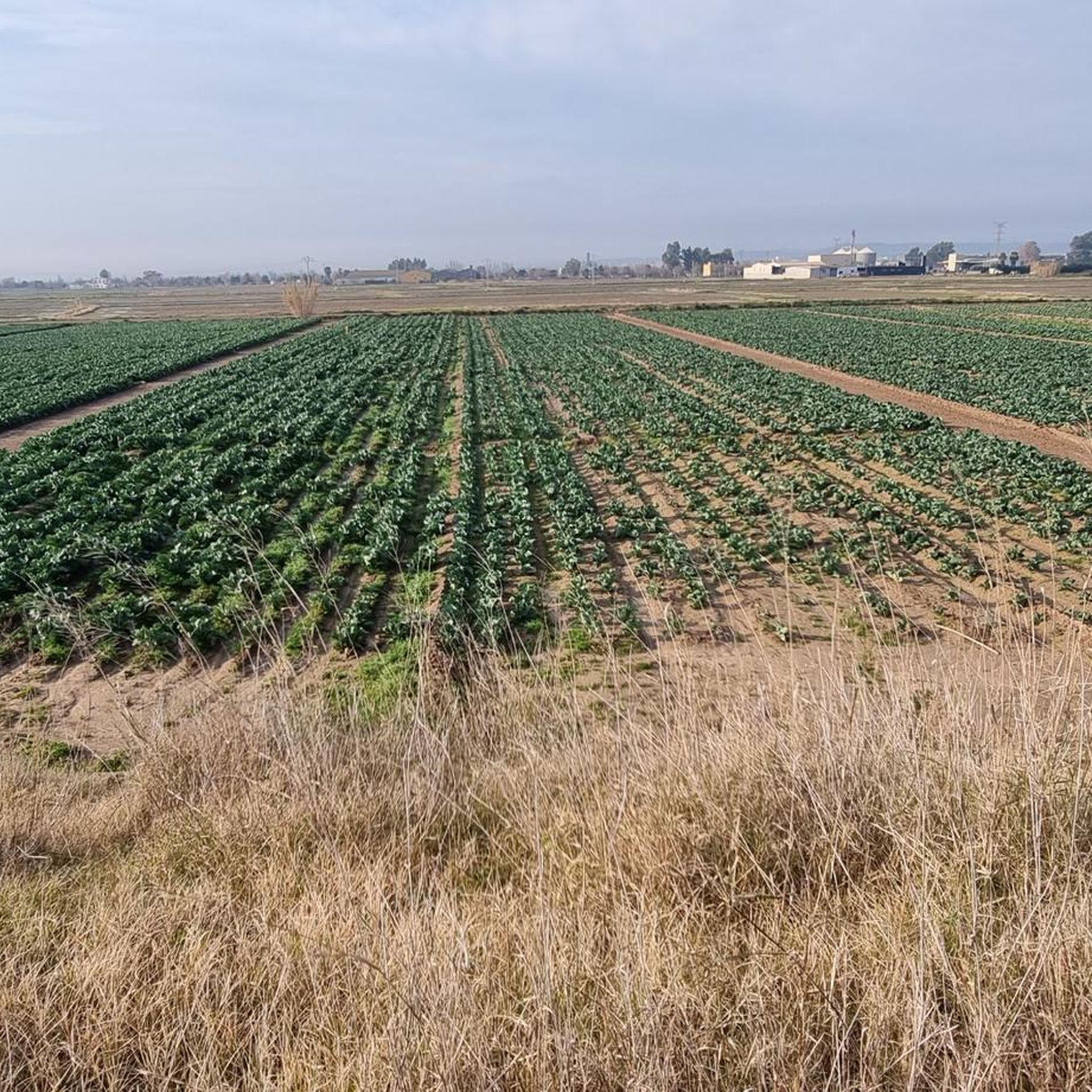
Hiking around Catarroja is primarily defined by its proximity to the Albufera Natural Park, a significant wetland area. The region features expansive rice fields, marshes, and a diverse ecosystem, offering mostly flat terrain with minimal elevation changes. These landscapes provide unique opportunities for nature observation and walking, with trails often traversing agricultural land and wetlands.
Best hiking trails around Catarroja
- The most popular hiking route is Port de Catarroja Rice Fields Loop, an easy 3.1 miles (5.0 km) trail…
Last updated: July 7, 2026
4.2
(17)
67
hikers
7.86km
01:59
10m
10m
Easy hike. Great for any fitness level. Easily-accessible paths. Suitable for all skill levels.
4.5
(8)
21
hikers
4.97km
01:15
10m
10m
Easy hike. Great for any fitness level. Easily-accessible paths. Suitable for all skill levels.

Sign up for free
2.8
(4)
11
hikers
Moderate hike. Good fitness required. Easily-accessible paths. Suitable for all skill levels.
4.4
(20)
125
hikers
13.6km
03:27
20m
20m
Moderate hike. Good fitness required. Easily-accessible paths. Suitable for all skill levels.
15
hikers
Moderate hike. Good fitness required. Easily-accessible paths. Suitable for all skill levels.
Get access to more routes and recommendations from other explorers.
Sign up for free
Already have an account?
Our route recommendations are based on thousands of hikes, rides, and runs completed by other people on komoot.
Start today with a free account
Your next adventure awaits.
Login or Signup


Tips from the Community

Wonderful place to see
0
0

Agradable senda en les dunes entre l'estany del Pujol i la platja de la Devesa.
1
0

At the end of March 2026, we saw many flamingos here.
0
0

The Albufera lake was formed by the sinking of an approximately 30 km long coastal strip. The saltwater lake then became a freshwater lake due to the inflows. In the Estany del Pujol lagoon you can observe various water birds.
2
1
Mural by Pedro Mecinas (Dhos) that combines his murals of sparrows (on this occasion, a goldfinch, carduelis carduelis) with a message of hope after the catastrophe caused by the storm of October 29, 2024.
1
0

You always have to call and make a reservation to visit. Also, there's a "Temporarily Closed" sign, although it doesn't indicate the timeframe. You'll have to call.
1
0

Beautiful large sandy beach overlooking the port of Valencia
1
0
Xolaka mural within the Caminart project.
1
0
Frequently Asked Questions
How many hiking trails are available around Catarroja?
There are over 370 hiking routes available around Catarroja. The area is particularly known for its flat terrain and wetland ecosystems within the Albufera Natural Park, offering a wide range of options for nature observation.
Are there many easy hiking trails in Catarroja?
Yes, Catarroja offers a significant number of easy hiking routes, with over 210 trails categorized as easy. These routes are generally flat, making them accessible for various fitness levels and ideal for enjoying the unique landscapes of the Albufera Natural Park.
Are there any circular hiking routes near Catarroja?
Yes, there are several circular routes. For example, the Pujol Pond – Pujol Lake loop from el Saler offers a moderate 11.8 km (7.3 miles) experience, allowing you to explore the natural beauty of the area and its wetlands.
Can I bring my dog on the hiking trails in Catarroja?
While many trails in natural parks generally allow dogs, it's always best to check specific regulations for the Albufera Natural Park, especially concerning protected areas and bird nesting seasons. Keep dogs on a leash to protect local wildlife and ensure a pleasant experience for all hikers.
What kind of landscapes can I expect to see while hiking in Catarroja?
Hiking in Catarroja primarily offers views of the Albufera Natural Park's unique wetland ecosystems. You'll encounter expansive rice fields, marshes, and a diverse array of birdlife. The terrain is largely flat, providing serene walks through agricultural land and natural habitats.
Are there any interesting landmarks or attractions to see along the trails?
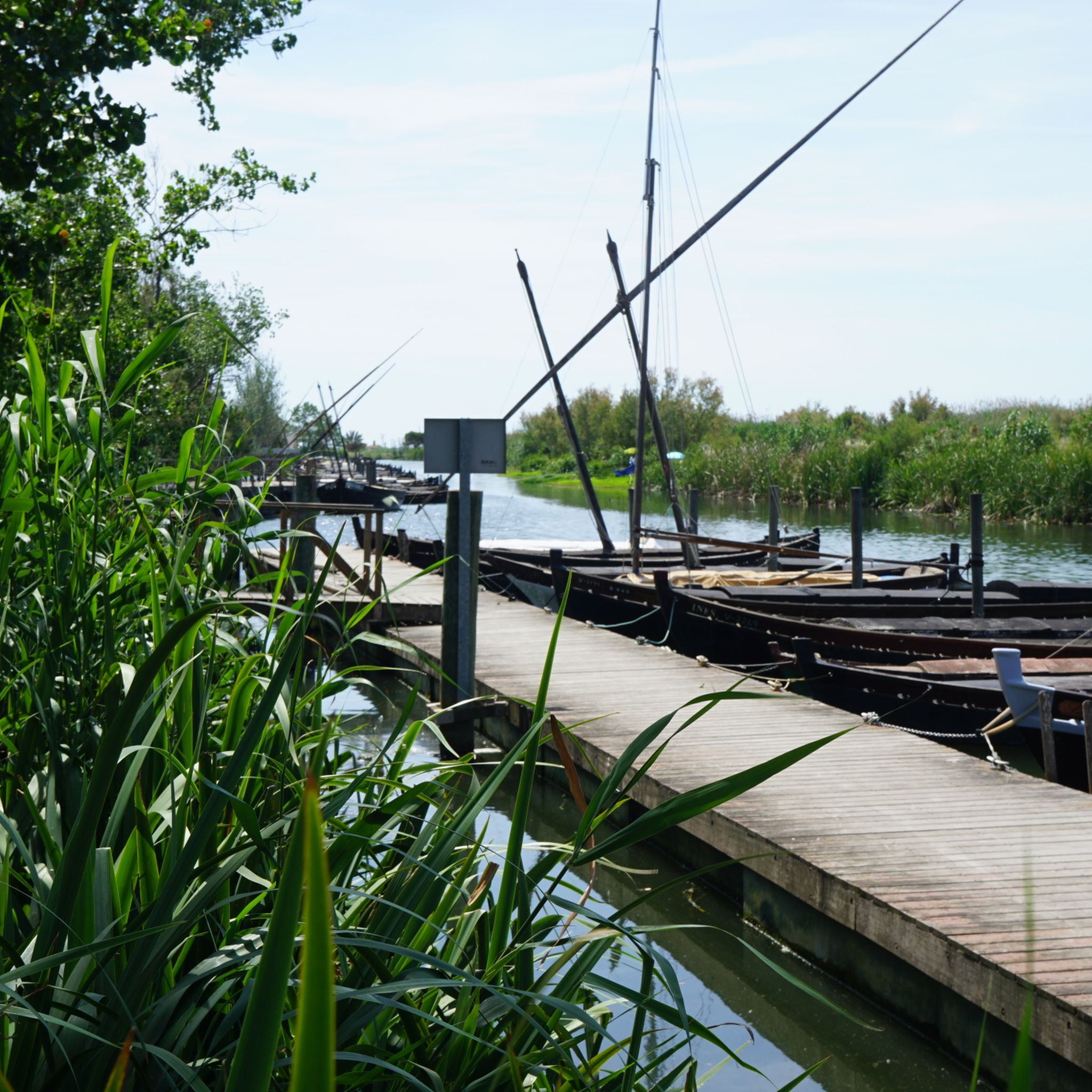
Yes, the region offers several points of interest. You can visit Pujol Pond or enjoy views from the Albufera Viewpoint. The Albufera Natural Park itself is a major attraction, known for its birdwatching opportunities and traditional 'Vela Latina' boats.
What is the best time of year to hike in Catarroja?
The best time to hike in Catarroja, particularly within the Albufera Natural Park, is generally during spring and autumn when temperatures are milder. The rice fields offer a vibrant green landscape between May and September, which is also a great time for birdwatching. Winter can also be pleasant with cooler temperatures.
Are there any longer or more challenging hiking options in the wider Valencia province?
For those seeking longer treks, the Camino del Cid, a cultural-historical long-distance hiking route, passes through the wider Valencia province. The 'La Defensa del Sur' section offers a more challenging and extensive hiking experience, following the traces of the medieval knight Rodrigo Díaz de Vivar.
What do other hikers enjoy most about hiking in Catarroja?
The hiking routes in Catarroja are highly rated by the komoot community, with an average score of 4.5 stars from over 1,000 reviews. Hikers often praise the unique wetland scenery, the peaceful atmosphere of the rice fields, and the excellent birdwatching opportunities within the Albufera Natural Park.
Is there public transport available to reach hiking areas near Catarroja?
Catarroja's port serves as a main entry point to the Albufera Natural Park, and local public transport options are available to reach the town. From there, many trails, such as the Mural "The Port of Catarroja" – "Common Chaffinch" mural loop from Catarroja, are accessible directly from the town or its immediate surroundings.
Are the hiking trails in Catarroja suitable for families with children?
Yes, many trails in Catarroja are suitable for families, especially those within the Albufera Natural Park. The terrain is predominantly flat with minimal elevation changes, making it easy for children. Routes like the Old Devesa Trail are easy and offer opportunities for nature observation, which can be engaging for younger hikers.
Where can I find parking for hiking trails in Catarroja?
Parking is generally available near the Port de Catarroja, which is a common starting point for many trails leading into the Albufera Natural Park. Specific parking information for individual trailheads can often be found on detailed route descriptions.
Most popular routes around Catarroja
Most popular attractions around Catarroja

Get inspired with the komoot mobile app


Explore more
Browse the best Hikes in other regions.
