The best road cycling routes around La Torre D'En Besora
5.0
(2)
514
riders
22
rides
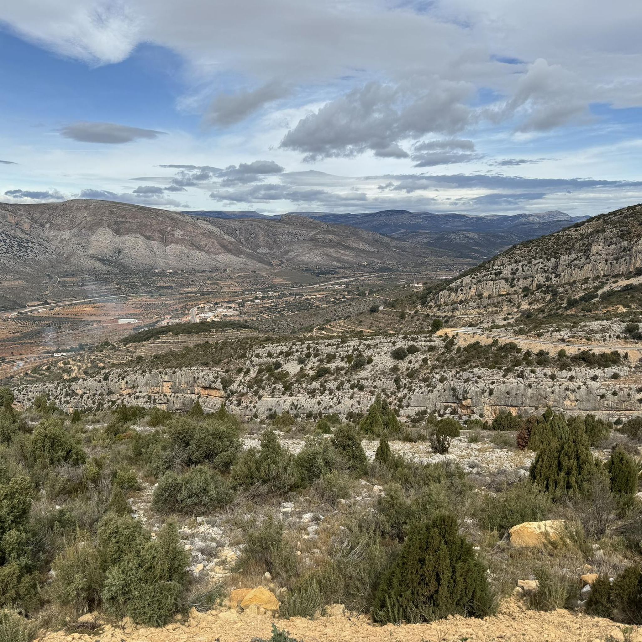
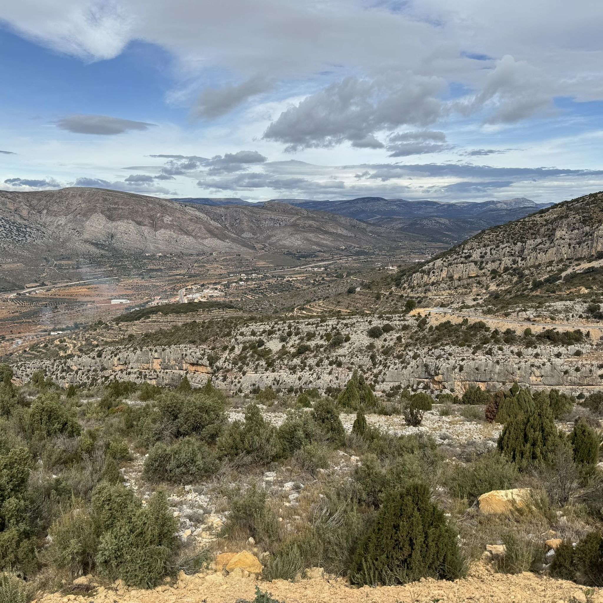
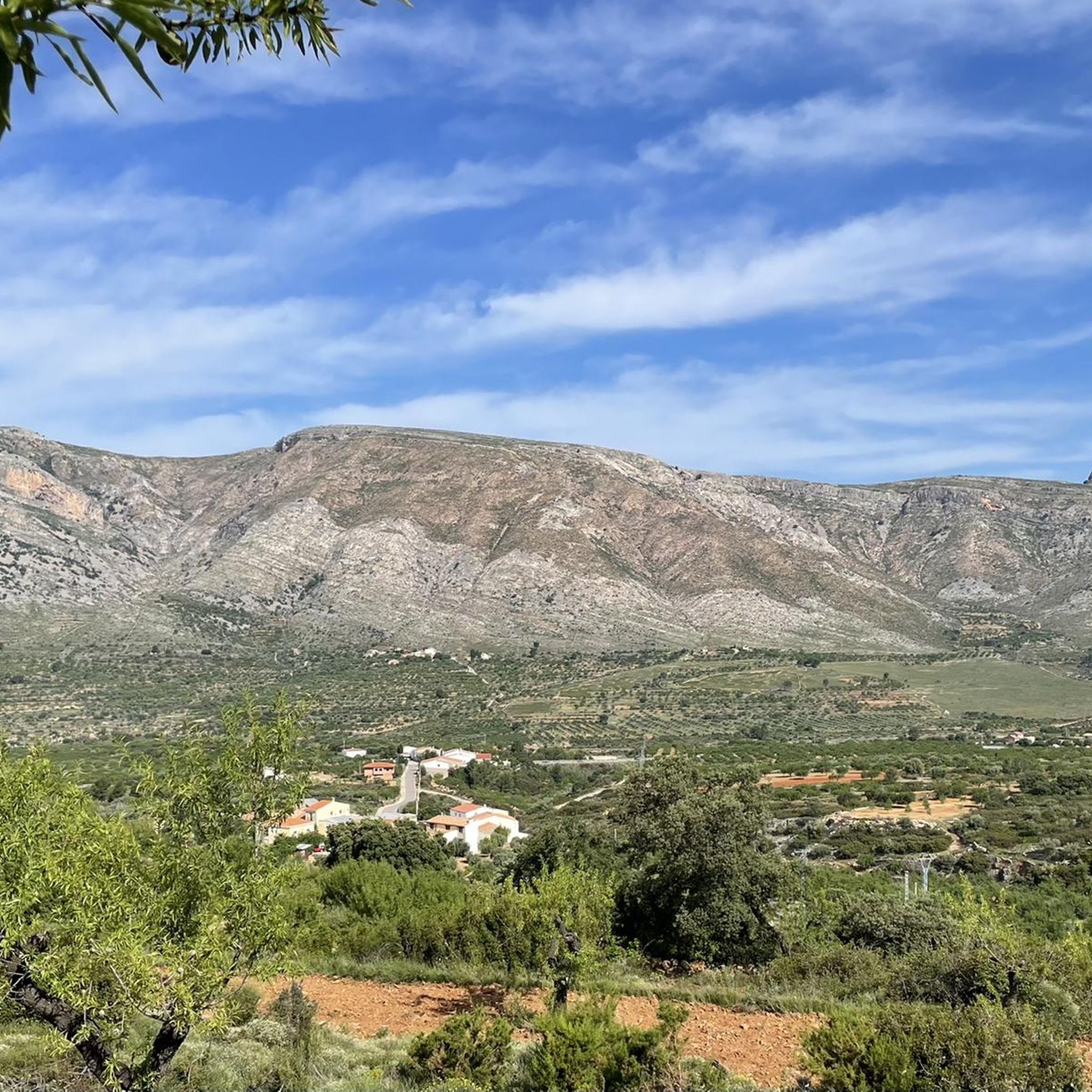
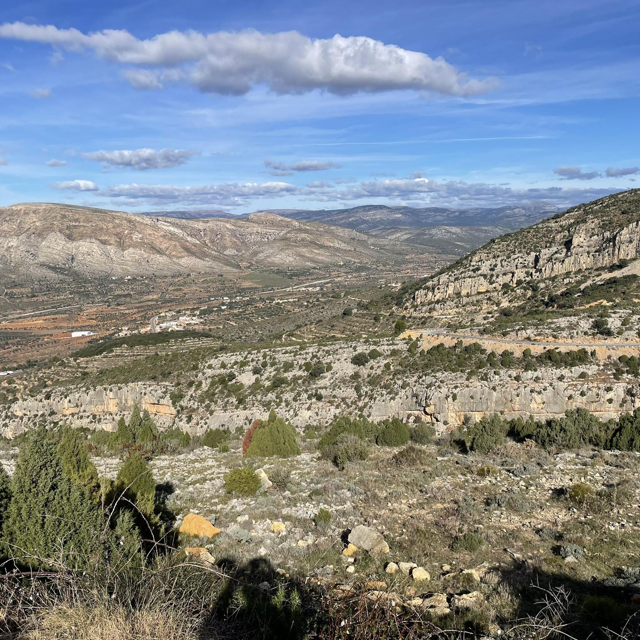
Road cycling around La Torre D'En Besora offers diverse terrain across the Alt Maestrat region of Castellón, Spain. The landscape is characterized by dramatic limestone formations and the Serra d'Esparreguera mountain range, providing a scenic backdrop for rides. Cyclists will encounter a mix of challenging mountainous zones and flatter areas, with an average elevation of 647 meters. This varied topography supports routes suitable for different fitness levels, from demanding climbs to more moderate paths.
Best road cycling routes around La…
Last updated: June 28, 2026
124
riders
155km
07:58
2,610m
2,610m
Hard road ride. Very good fitness required. Some segments of this route may be unpaved and difficult to ride.
101
riders
65.5km
03:24
1,180m
1,180m
Hard road ride. Very good fitness required. Mostly well-paved surfaces and easy to ride.

Sign up for free
52
riders
56.4km
02:56
1,030m
1,030m
Hard road ride. Very good fitness required. Mostly well-paved surfaces and easy to ride.
5.0
(1)
33
riders
46.7km
02:28
880m
880m
Moderate road ride. Good fitness required. Mostly well-paved surfaces and easy to ride.
5.0
(1)
22
riders
99.6km
04:41
1,230m
1,230m
Hard road ride. Very good fitness required. Mostly well-paved surfaces and easy to ride.
Get access to more routes and recommendations from other explorers.
Sign up for free
Already have an account?
Our route recommendations are based on thousands of hikes, rides, and runs completed by other people on komoot.
Start today with a free account
Your next adventure awaits.
Login or Signup
Tips from the Community

This is a monument in memory of the local painter Ouig Roda, from the town of Tirig. It is a public park and rest area.
0
0

I've seen it dry for many years. This year it has a lot of water. Let's see if it continues.
0
0

Incredible mountain pass. It is quite easy to get to. The village is small and has a fountain.
0
0

Very good place to take a break. Generous sandwiches and good coffee.
0
0
Vilanova d'Alcolea is a mountain town in the province of Castellón, but with the Mediterranean just 10 minutes away. This place is surrounded by spectacular landscapes of almond trees, olive groves and vineyards, and stands out for its nature, its monuments and its traditions. What to see in Vilanova d'Alcolea Touring Vilanova d'Alcolea takes us to its nature and the magical places that surround it. One of them is the beautiful Font del Mas de Calaf fountain, where one of the highest quality natural water sources in the area is located. In addition, there is a recreation area to enjoy an ideal day with the whole family. Other of its most attractive points are the Barranco de la Fuente Roja, the Fuente de la Carrasqueta and the Fuente de la Villa. Without a doubt, it is worth visiting them through the different hiking routes. If you want to discover part of the history of this destination, you just have to follow the Al Calaf Route to discover the Vilanova d'Alcolea of the 13th and 14th centuries. It will surprise you! With this trip back in time, you cannot miss visiting the Via Augusta as it passes through Vilanova d'Alcolea. In addition, you will discover the stories of the mansions and, especially, that of ILDUM. Vilanova d'Alcolea is characterized by keeping its traditions and popular festivals alive, such as the Sant Antoni Festival. This traditional festival begins with the “Hoguera de los Mayorales” and, with the arrival of night, it is the turn of the Matxà. Fire, an impressive show, procession and the distribution of traditional San Antonio cakes. A party that takes place in January and you can't miss it. This is a destination full of history and nature is one of the main jewels of Vilanova d'Alcolea. Enter this fantastic town and enjoy every minute.
0
0
Historically, it was part of the Encomienda de Les Coves de Vinroma and with it it was the lordship of Blasco de Alagón between the years 1235 and 1242. Later, it was the Templars who were in charge of governing the town. In the archives and annotations of the town map of Albocácer it appears that originally the town was called Sierra de Biarach. During the first half of the 16th century, it took the name of Sarratella de Biarach and it was not until the last third of the same century when the place name of Sarratella was made official. The demographic indicators of the town have been growing throughout its history until it surpassed the barrier of 700 inhabitants in the first years of the 20th century. Since 1900 the population has been constantly reducing until it currently reaches 93 registered people. Its geographical location and orography seduced prehistoric groups. Very close to the hill where the hermitage is located there was an Epipalaeolithic site. Furthermore, in several areas of its territory, cave paintings have been discovered that are part of the Levantine rock art, declared a World Heritage Site. Social media Economic activities are dedicated to agriculture and livestock. Agriculture is traditionally based on dryland agriculture, with olive and almond cultivation predominating. Livestock farming is mainly based on grazing and pig and poultry farms. The scarce industry is related to agriculture and oil. Urban tour La Sarratella is a small town, which is very easy to get around. During the tour you can see the harmony that the houses maintain with each other, the tranquility of its people and the dark green of the mountainous landscape that can be seen from almost any area of the town. Despite being a small town, the places of interest that we can find are many and quite varied: The building of the old oven, with clear medieval traces. The torrent, located in the lower part of the town, whose complex is made up of a fountain, a water trough and some washing places. The town hall inaugurated in 1958 with some porches that limit the public part of the common part of the town halls of the medieval period. The hermitage of San Juan and the Church of San Miguel, where there is a front of the green velvet altar on which you can see Saint Michael embroidered fighting against the devil. Landscape The landscape is very mountainous, with large slopes that provide impressive views to the sea. Holm oaks and bushes scented with rosemary, thyme, lavender and other aromatic plants predominate. The climate is cool and pleasant in summer contrasting with the cold winter. The town is located at about 800 meters above sea level, although the highest point in the area is at 937 meters where the hermitage of San Juan Nepomuceno is located with an unbeatable panoramic view.
0
0
Albocàsser, in the Alt Maestrat region, is a very old town, founded in no less than 1239 and in its upper part contains the most interesting points for a visit to its urban area. There you can find in the main square the Parish Church of the Assumption, built in a severe Baroque style on the original Gothic temple and which preserves an altarpiece and interesting examples of goldsmithing inside. Another architectural treasure that has survived the passage of time is the hermitage of Santos Juanes, from the end of the 13th century, a simple and rustic temple with a lot of charm that you should not miss the opportunity to visit if you are sightseeing in Albocàsser. A little further away is the hermitage and inn of Sant Pau, built between the 16th and 17th centuries and with a beautiful façade with a bell tower. Neighbors come to it in pilgrimage and celebrate traditional dances. Continuing with the list of things to do in Albocàsser, we cannot fail to remind you that its municipal area is part of the Valltorta-Gasulla Cultural Park, which protects shelters with cave paintings. In addition to these interesting relics of the past, you can go hiking in places such as the Barranco de les Calçades, the Mas de les Llomes, the Font del Bosq, els Tolls, Las Devesas and the Barranc de la Selda and a good number of routes further. Finally, you can buy high-quality local olive oil or taste their sweets made with almonds. And don't leave without trying their grilled meats, the typical pot or their heavenly coca!
0
0
Monument dedicated to the native painter of the town Puig Roda, located at the exit of the Cuevas de Vinromá/Albocasser farm.
0
0
Frequently Asked Questions
How many road cycling routes are available around La Torre D'En Besora?
There are over 20 road cycling routes around La Torre D'En Besora, catering to various skill levels. You'll find a good mix of moderate and difficult options to explore the region.
What kind of terrain can I expect when road cycling in La Torre D'En Besora?
The terrain around La Torre D'En Besora is quite varied. You'll encounter dramatic limestone formations and sections of the Serra d'Esparreguera mountain range, offering challenging climbs and descents. There are also flatter areas, particularly those used for farming, providing a diverse and engaging cycling experience. The average elevation in the region is around 647 meters.
Are there challenging climbs for experienced road cyclists?
Yes, La Torre D'En Besora is well-suited for experienced cyclists looking for a challenge. The region features demanding routes with significant elevation gains. For instance, the Coll de la Bandereta – Puerto de la Serratella loop from Sierra Engarcerán is a difficult 66.1 km route with over 1179 meters of ascent, offering a substantial workout.
Can I find moderate road cycling routes in the area?
Absolutely. While the region is known for its challenging climbs, there are also moderate options. For example, the Quiet Country Road – View of Ares del Maestre loop from Benassal is a moderate 46.7 km route that takes you through tranquil rural areas, perfect for a less strenuous ride.
What natural landmarks can I see along the road cycling routes?
The region boasts several notable natural landmarks. You might encounter the ancient oak and holm oak forest of El Rivet Municipal Nature Park, or the monumental Carrasca de Culla. The Espaneguera Summit offers panoramic views, and you can also find the fresh water spring of Font d'en Segures.
Are there historical sites or cultural attractions accessible by bike?
Yes, the area is rich in history. You can cycle past the Coll de la Bandereta and Puerto de la Serratella mountain passes, which are significant points in the landscape. The nearby historic village of Culla is easily accessible and features its own castle. You might also spot old watchtowers, farmhouses, and traditional washhouses dotted across the landscape.
Are there any circular road cycling routes available?
Many of the road cycling routes around La Torre D'En Besora are designed as loops, allowing you to start and finish in the same location. Examples include the challenging Road to Benassal – View of Ares del Maestre loop from Benassal and the more moderate Quiet Country Road – View of Ares del Maestre loop from Benassal.
What do other cyclists say about road cycling in La Torre D'En Besora?
The road cycling routes in La Torre D'En Besora are highly rated by the komoot community, with an average score of 5.0 stars. Cyclists often praise the varied terrain, the stunning natural backdrops, and the mix of challenging climbs and tranquil rural paths that make for a rewarding experience.
When is the best time of year to go road cycling in La Torre D'En Besora?
La Torre D'En Besora benefits from a cool, Mediterranean maritime climate. This makes spring and autumn particularly pleasant for road cycling, avoiding the peak heat of summer while still enjoying mild temperatures and often clear skies. The refreshing climate at 647 meters elevation provides a good contrast to coastal areas.
Are there options for parking when starting a road cycling route?
While specific parking areas for cyclists are not explicitly detailed, many routes start from towns like Benassal or Culla, where general parking facilities are typically available. It's advisable to check local parking options in your chosen starting village.
Can I find places to stop for refreshments or food along the routes?
Yes, the villages and towns in the Alt Maestrat region, such as La Torre D'En Besora itself, Benassal, and Culla, offer cafes and restaurants where you can refuel. Planning your route to pass through these settlements will ensure you have opportunities for refreshments.
Are there any specific regulations for road cycling in the Castellón province?
When road cycling in the Castellón province, general Spanish traffic laws apply. Cyclists must use appropriate lighting, wear a helmet (mandatory outside urban areas), and adhere to road signs and signals. While some routes may include unpaved sections, the main road cycling routes are generally well-paved.
Are there any routes that offer panoramic views?
Many routes in the mountainous terrain around La Torre D'En Besora offer spectacular panoramic views. The Espaneguera Summit is specifically noted for its extensive vistas. Routes like the Road to Benassal – View of Ares del Maestre loop from Benassal also provide expansive views towards Ares del Maestre and the surrounding landscapes.
Most popular attractions around La Torre D'En Besora

Get inspired with the komoot mobile app


Explore more
Browse the best Road cycling routes in other regions.
