The best walks and hikes around Aldeanueva De La Sierra
4.9
(50)
286
hikers
12
hikes
Hiking around Aldeanueva De La Sierra offers diverse landscapes, transitioning from flat oak dehesa to gentle mountains. The municipal territory features extensive holm oak, oak, and cork oak forests, alongside low scrubland. The River Lumbralejo meanders through the area, bordered by small orchards. This region is part of the broader Salamanca province, known for its natural settings including sierras and natural parks.
Best hiking trails around Aldeanueva De La Sierra
- The most popular hiking route is Peña de Francia from…
Last updated: July 1, 2026
5.0
(9)
42
hikers
Hard hike. Good fitness required. Sure-footedness, sturdy shoes and alpine experience required.
4.6
(5)
9
hikers
Moderate hike. Good fitness required. Easily-accessible paths. Suitable for all skill levels.

Sign up for free
5.0
(1)
14
hikers
15.5km
05:46
700m
690m
Hard hike. Very good fitness required. Sure-footedness, sturdy shoes and alpine experience required.
5.0
(1)
14
hikers
14.9km
05:40
710m
710m
Hard hike. Very good fitness required. Sure-footedness, sturdy shoes and alpine experience required.
10
hikers
Moderate hike. Good fitness required. Easily-accessible paths. Suitable for all skill levels.
Get access to more routes and recommendations from other explorers.
Sign up for free
Already have an account?
Our route recommendations are based on thousands of hikes, rides, and runs completed by other people on komoot.
Start today with a free account
Your next adventure awaits.
Login or Signup
Popular around Aldeanueva De La Sierra
Tips from the Community

Beautiful top with views and a restaurant run by modern monks.
0
0
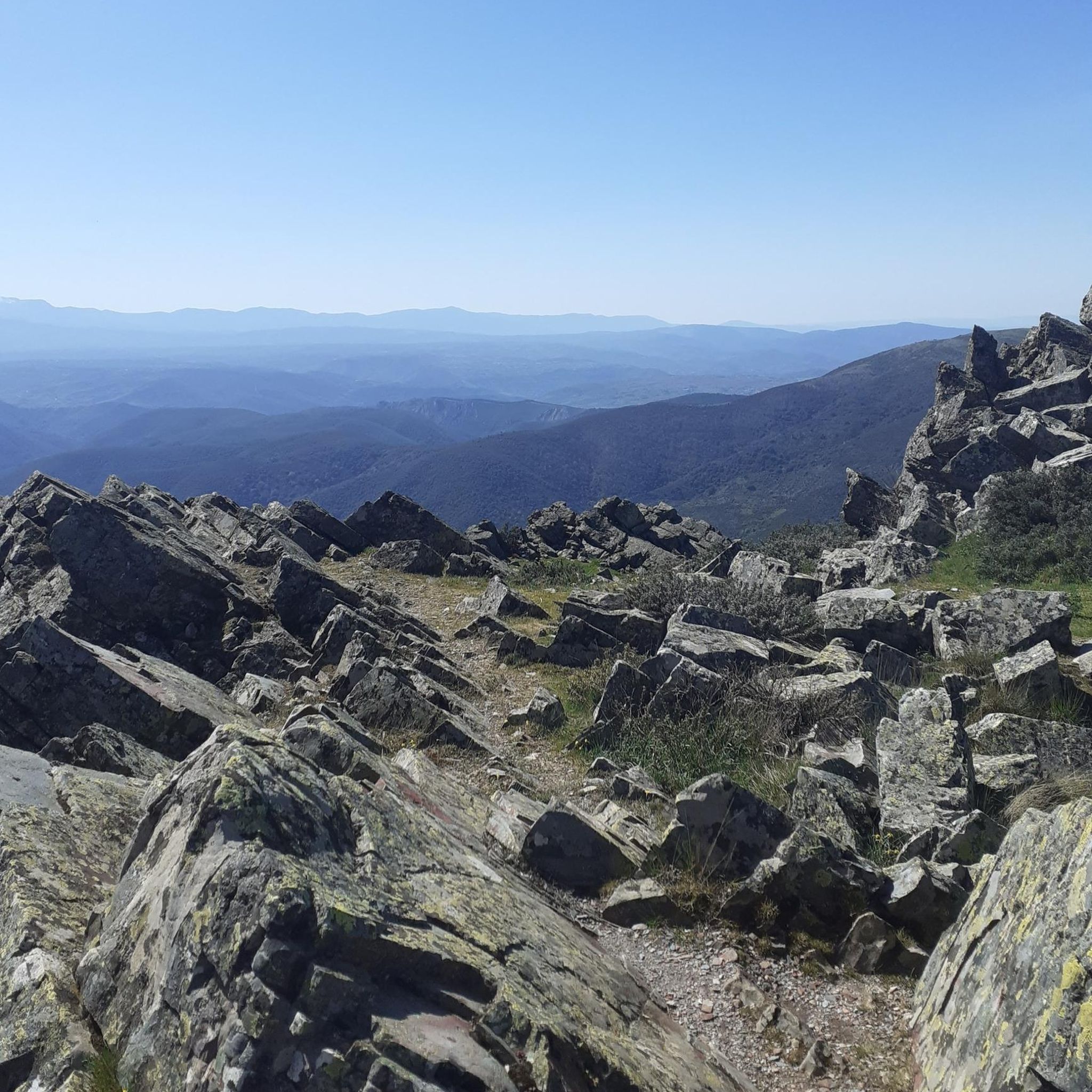
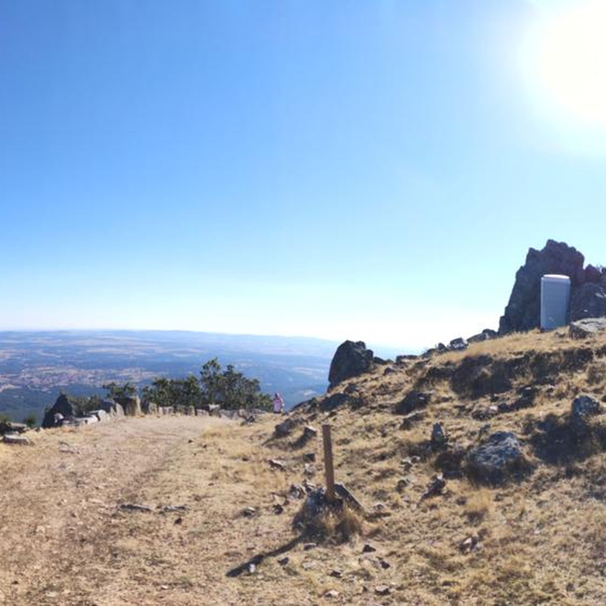
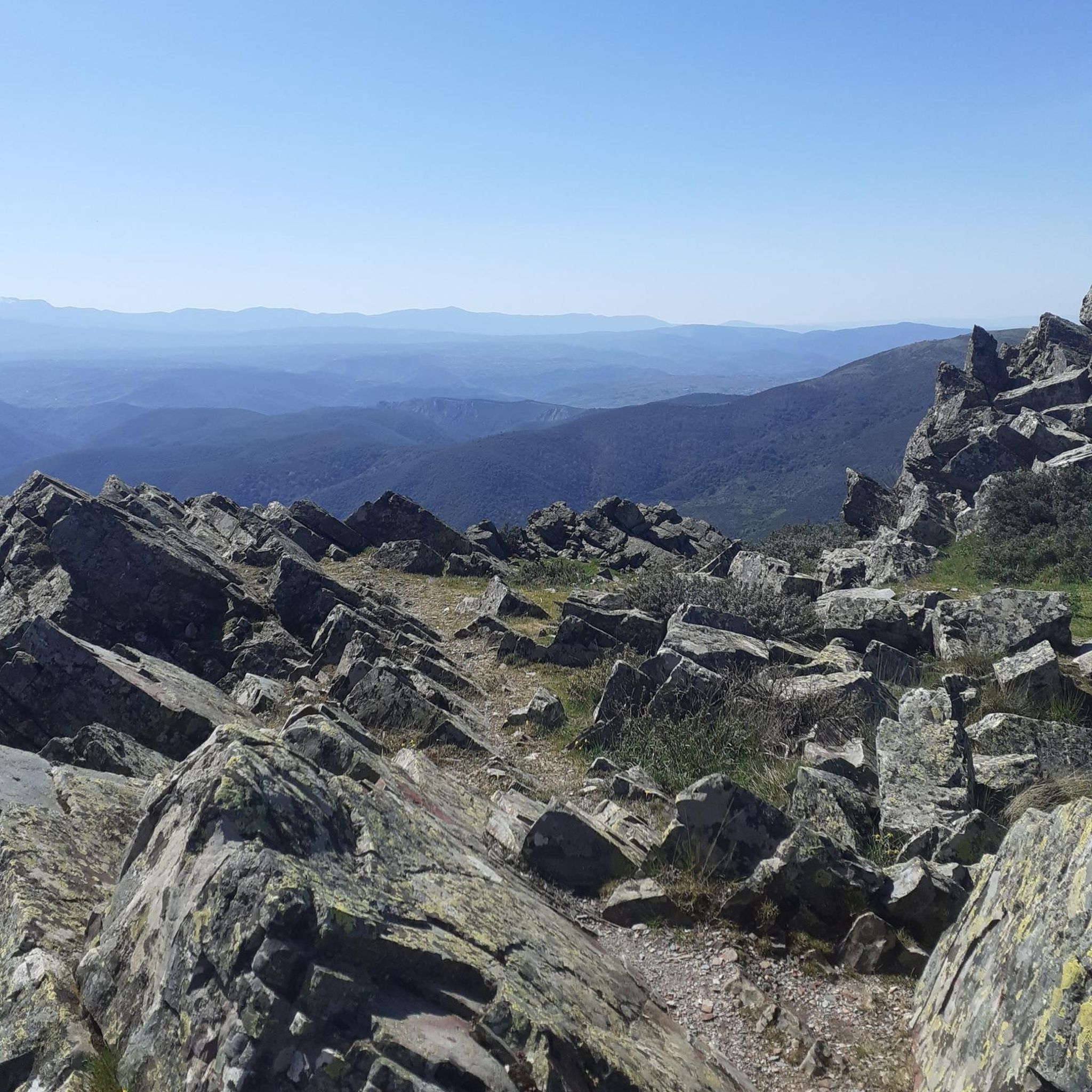
Really such a top that stands out with over 1700 meters, offering a beautiful view all around.
12
0

Located between the municipalities of Navarredonda de la Rinconada and Escurial de la Sierra, in the Sierra de Francia-Quilamas region. A protected natural area within the Natura 2000 network, with oak and chestnut forests and wildlife such as the golden eagle and griffon vulture.
5
0
It offers spectacular views over the Sierra de Francia, the Sierra de Béjar, the Campo Charro region, northern Cáceres, and even the Serra da Estrela in Portugal. You can drive up via the SA-203 road (from La Alberca or El Cabaco), although it is often closed due to snow in winter. There are also hiking trails, such as the GR-10, starting from La Alberca.
5
0
La Peña de Francia is one of the most emblematic places in the province of Salamanca, located in the Las Batuecas-Sierra de Francia Natural Park, within the municipality of El Cabaco, about 81 km from Salamanca and near La Alberca.
4
0

Peña de Francia is a peak known by many cyclists and is undoubtedly worth crowning. It gives its name to the wonderful Natural Park and with its 1,727 m high it offers you the best panoramic views in all directions. Take the time to take photos from the two viewpoints located next to the Sanctuary of Our Lady of Peña de Francia.
4
1

Undoubtedly the top to crown if you are in the area, not only does it give its name to the wonderful Natural Park, but at 1727 masl you will have the best panoramic views in all directions, the well-deserved reward for the physical effort to get here. It can be climbed through several alternative paths, some of great technical difficulty and with a lot of loose stone that I recommend to do on the way down. It is recommended to go up the track or road and enjoy the cool trialeras on the way down.
5
0
The top of Pico Cervero is located at 1,522 meters above sea level within the wonderful Natural Space of Las Quilamas. The ascent is demanding and depending on where you climb it from, it may have some technical sectors. From Linares de Riofrío you can follow the path through the Honfrías forest, a wonderful and picturesque place.
1
1
Frequently Asked Questions
How many hiking trails are available around Aldeanueva De La Sierra?
There are 9 hiking routes in the Aldeanueva De La Sierra area, catering to various skill levels. You'll find 1 easy, 6 moderate, and 2 difficult trails to explore.
What kind of landscapes can I expect to see while hiking in Aldeanueva De La Sierra?
The region offers a diverse landscape, transitioning from flat oak dehesa to gentle mountains. You'll hike through extensive holm oak, oak, and cork oak forests, low scrubland, and along the meandering River Lumbralejo, which is bordered by small orchards.
Are there any circular hiking routes in the area?
Yes, there are several circular routes. For example, the Pico Cervero – circular from Navarredonda de la Rinconada - Espacio Natural de las Quilamas is a moderate 14.7 km path that takes you through varied terrain. Another option is the Cervero Peak – Pico Cervero (1465 m) loop from Navarredonda de la Rinconada.
What are some notable natural features or landmarks to look out for on the trails?
Hikers can discover several interesting natural features and landmarks. You might encounter the serene Small lagoon in Navarredonda de la Rinconada, or aim for the Cervero Peak and the Ascent to Peña de Francia for panoramic views. The area is also rich in dehesa landscapes with ancient oak and cork oak trees.
What is the best time of year to go hiking in Aldeanueva De La Sierra?
The region is suitable for hiking across multiple seasons. Spring and autumn offer pleasant temperatures and vibrant natural colors. The diverse landscapes, from dehesa to mountains, provide different experiences throughout the year, though summer can be hot and winter may bring colder conditions at higher elevations.
Are there any family-friendly hiking options?
While specific 'easy' routes are available, the region's trails generally range from moderate to difficult. The single easy route would be most suitable for families, but it's always recommended to check the specific trail details for distance and elevation to ensure it matches your family's capabilities.
Can I bring my dog on the hiking trails?
The natural environment of Aldeanueva De La Sierra, with its extensive dehesa and mountain paths, is generally welcoming for dogs. However, it's always advisable to keep dogs on a leash, especially in areas with livestock or protected wildlife, and to check local regulations for specific trails or natural parks like Las Batuecas-Sierra de Francia.
What do other hikers say about the trails in Aldeanueva De La Sierra?
The hiking routes in Aldeanueva De La Sierra are highly rated by the komoot community, with an average score of 4.9 stars from over 40 reviews. Hikers often praise the varied terrain, the natural beauty of the dehesa and mountain transitions, and the opportunities to explore the wider Sierra de Francia and Las Quilamas regions.
Are there any historical or cultural sites accessible via hiking trails?
Yes, the region has historical connections. A well-known route leads to the Convento El Zarzoso (Nuestra Señora de Porta Coeli monastery), where you can purchase sweets made by the nuns. Additionally, the Cavén of Fuente de la Mora – Roman Settlement loop from El Cabaco offers a glimpse into ancient history.
What kind of wildlife might I encounter?
The area is rich in wildlife. You might spot domesticated animals like sheep, goats, and cows, as well as wild species such as partridges and various birds of prey, including vultures, soaring overhead. The nearby Las Batuecas-Sierra de Francia Natural Park is home to Iberian lynx, deer, foxes, wild boar, and black vultures.
Are there any challenging hikes for experienced trekkers?
Yes, for experienced hikers, there are difficult routes available. The Peña de Francia from El Casarito recreational area – Batuecas Natural Park and Sierra de Francia is a challenging 12.4 km trail with significant elevation gain. Another demanding option is the Maillo - Peña de Francia Trail, covering 15.5 km through the Sierra de Francia.
What is the terrain like on the trails around Aldeanueva De La Sierra?
The terrain varies significantly, reflecting the region's transitional nature. You'll find paths through flat oak dehesa, gentle slopes leading into mountains, and trails winding through forests of holm oak, oak, and cork oak. Some routes also follow the River Lumbralejo, offering riverside walks.
Most popular routes around Aldeanueva De La Sierra
Most popular attractions around Aldeanueva De La Sierra

Get inspired with the komoot mobile app


Explore more
Browse the best Hikes in other regions.
