The best running trails around Sant Vicenç De Castellet
3.9
(22)
2,830
runners
19
runs
Jogging routes Sant Vicenç de Castellet offer access to diverse landscapes, situated near the confluence of the Llobregat and Cardener rivers. The area serves as a gateway to Montserrat Natural Park and Sant Llorenç del Munt i l'Obac Natural Park, providing an extensive network of trails. Runners can experience a blend of river paths, historical sites, and varied terrain, from flatter riverside sections to more challenging routes with elevation.
Best jogging routes around Sant Vicenç De Castellet
- The most popular…
Last updated: June 26, 2026
46
runners
10.8km
01:22
310m
310m
Hard run. Very good fitness required. Mostly accessible paths. Some sure footedness required.
24
runners
8.45km
00:55
90m
90m
Moderate run. Good fitness required. Mostly paved surfaces. Suitable for all skill levels.

Sign up for free
4.0
(1)
20
runners
Hard run. Very good fitness required. Sure-footedness, sturdy shoes and alpine experience required.
17
runners
6.75km
00:48
190m
190m
Moderate run. Good fitness required. Mostly accessible paths. Some sure footedness required.
15
runners
Hard run. Very good fitness required. Sure-footedness, sturdy shoes and alpine experience required.
Get access to more routes and recommendations from other explorers.
Sign up for free
Already have an account?
Our route recommendations are based on thousands of hikes, rides, and runs completed by other people on komoot.
Start today with a free account
Your next adventure awaits.
Login or Signup
Popular around Sant Vicenç De Castellet
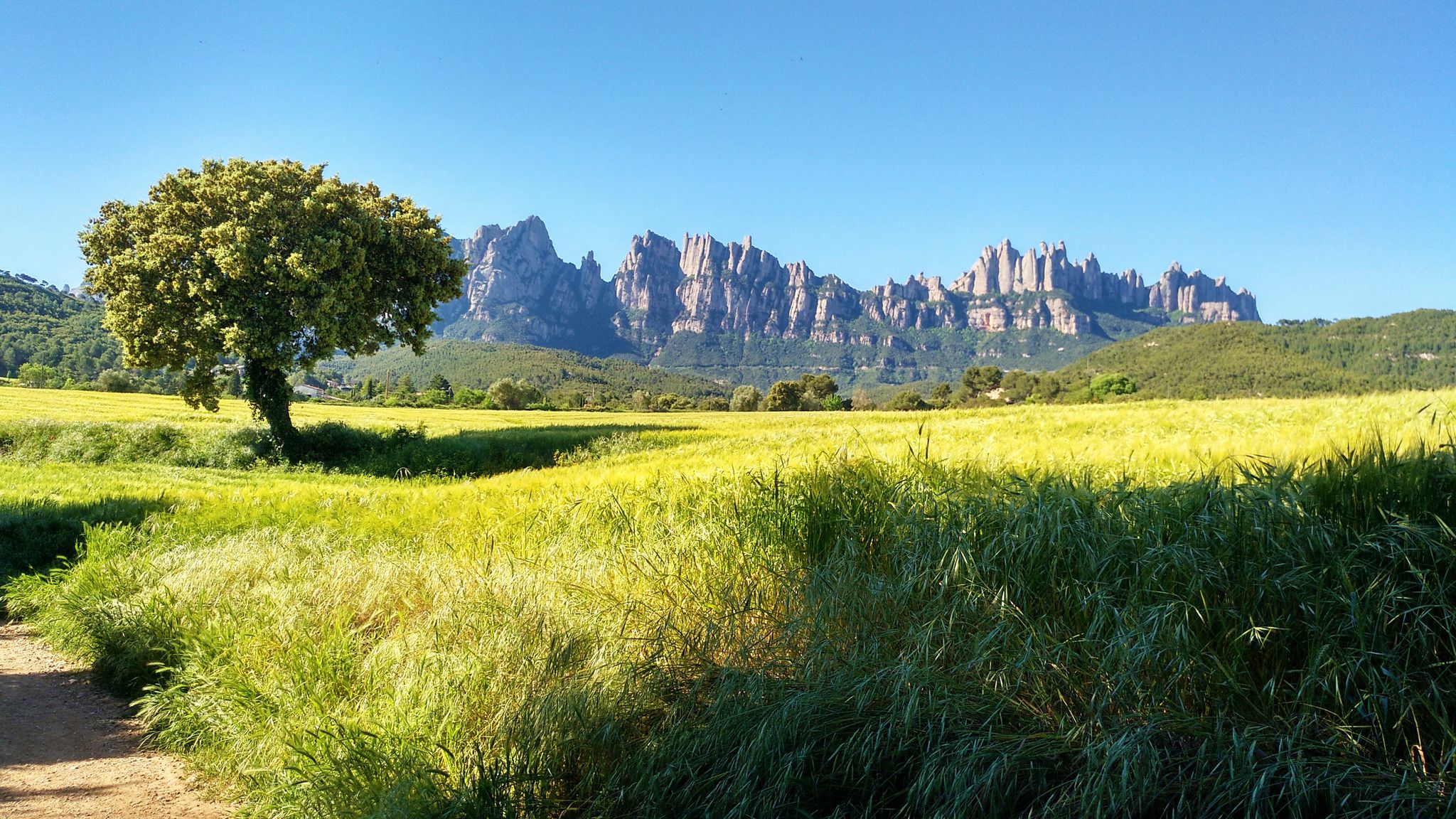
On foot from France to Montserrat – GR 4
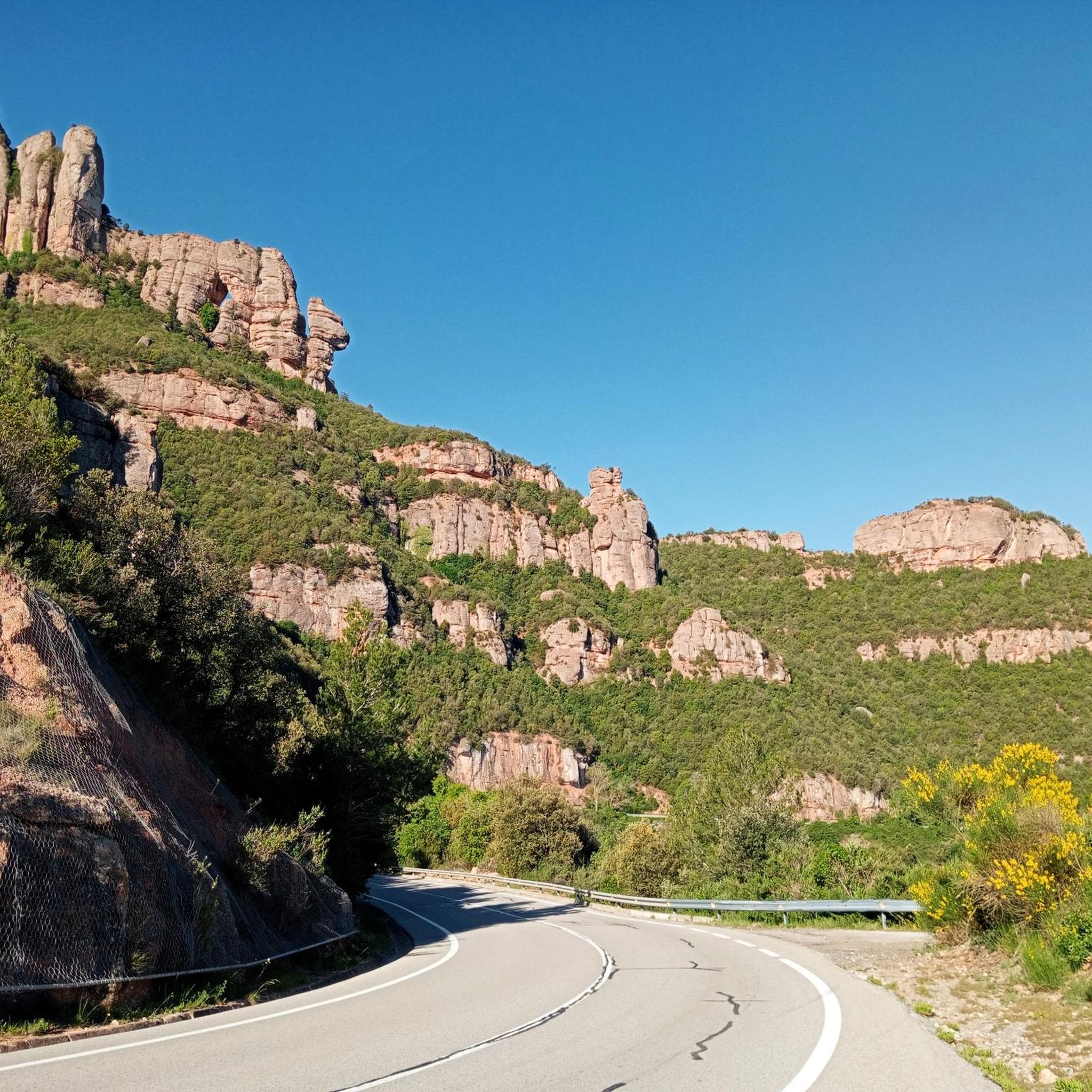
Road Cycling Routes around Sant Vicenç De Castellet

Cycling around Sant Vicenç De Castellet
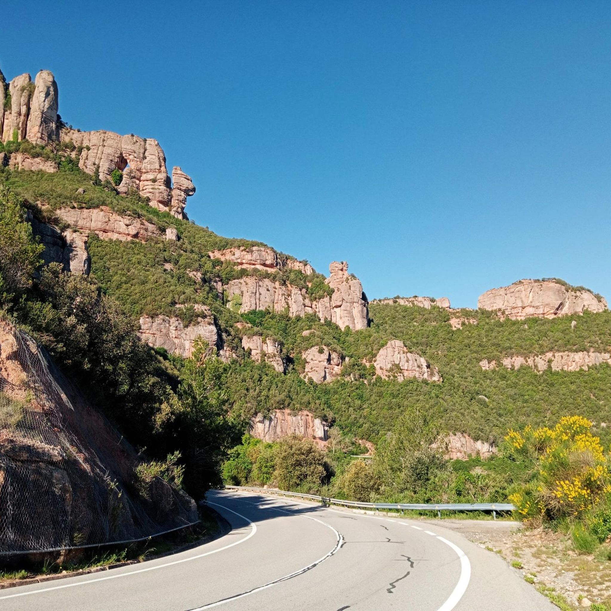
MTB Trails around Sant Vicenç De Castellet

Gravel biking around Sant Vicenç De Castellet
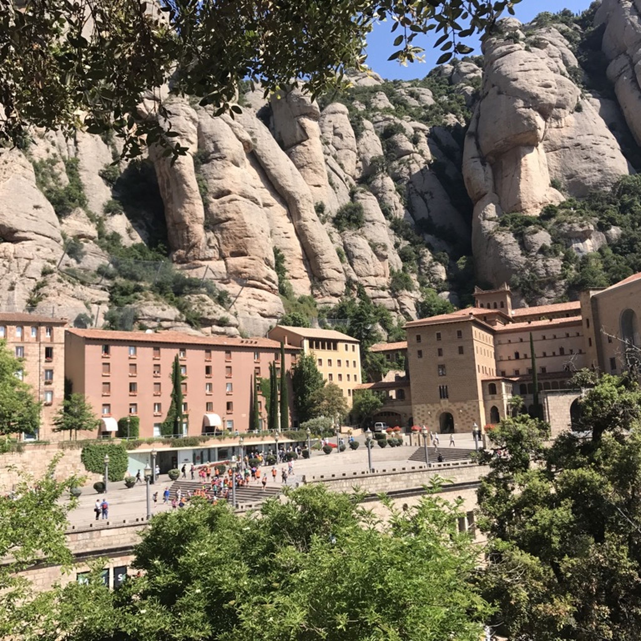
Hiking around Sant Vicenç De Castellet
Mountain Hikes around Sant Vicenç De Castellet
Other adventures around Sant Vicenç De Castellet

Tips from the Community

Wear appropriate footwear that has good grip.
0
0


Impressive rock that is located close to the summit of Morella and that leaves us with a curious image of a rock in a curious but beautiful shape.
0
0

Located next to the hermitage of Sant Pere de Vallhonesta, the Sant Bernat viewpoint offers beautiful views of the extensive pine forests and undulating mountains of the area. In the viewpoint there is also an explanatory panel on the geology and mountains of the region.
1
0
The hermitage of Sant Pere de Vallhonesta is a Romanesque construction from the 12th century. Located in a beautiful natural environment, the interior of this hermitage still preserves old paintings with geometric and floral motifs.
0
0

Popularly known as Torre dels Dimonis (Tower of the Demons), it is a Roman funerary construction built in the 3rd century. It is considered one of the most important mausoleums that remain standing in Roman Hispania. During the 19th century part of the stones of the structure were used for the construction of a nearby lock, leaving the rectangular base. Thanks to the description made in 1805 by the French historian Alexandre de Laborde, we know that in the upper part there was a frieze representing a naked woman, accompanied by two lions and plant motifs.
0
0
Confluence of the Cardener and Llobregat rivers, at the height of the municipality of Castellgalí. There is a lock, past this point, which slows down the flow of water and thus widens the confluence. The lock was built in 1870 to divert water towards the canal of the Can Soler factory.
0
0

Important crossroads: Sant Vicenç de Castellet SW, Puigsoler S, Sant Pere de Vallhonesta SE and Torrent de Rubió N. Interesting informative panel on geology and paleogeography belonging to the GEO PARC of Central Catalonia.
0
0
Frequently Asked Questions
How many running routes are available in Sant Vicenç de Castellet?
There are over 19 running routes around Sant Vicenç de Castellet, offering a diverse range of experiences from moderate riverside jogs to more challenging trails with significant elevation gain.
What kind of terrain and difficulty can I expect on the running trails in Sant Vicenç de Castellet?
The area offers a mix of terrain, from flatter paths along the Llobregat and Cardener rivers to more challenging routes with ascents into the Montserrat and Sant Llorenç del Munt i l'Obac Natural Parks. You'll find 9 moderate routes and 10 difficult routes, catering to various fitness levels.
Are there any running routes that offer historical sights or landmarks?
Yes, several routes incorporate historical interest. For example, the Torre del Breny loop from Sant Vicenç de Castellet is a moderate 5.2-mile (8.4 km) path that includes views of the Roman tomb ruins of La Torre del Breny. The Castellet castle ruins also offer commanding views over the Llobregat and Cardener rivers.
Which running routes offer the best viewpoints in the region?
For stunning vistas, consider routes that lead to higher elevations. The Sant Bernat Viewpoint loop from Sant Vicenç de Castellet is a difficult 6.7-mile (10.8 km) trail known for its panoramic views. Another option is the Puig Solei Summit – Sant Bernat Viewpoint loop from Sant Vicenç de Castellet, which takes you to both Puig Solei Summit and Sant Bernat Viewpoint.
Are there any family-friendly jogging routes in Sant Vicenç de Castellet?
While many routes involve some elevation, the flatter paths along the Llobregat and Cardener rivers, or within areas like Joncadell Park, can be suitable for gentler jogs with family. Always check the route details for distance and elevation to ensure it matches your family's capabilities.
What natural features can I expect to see while running in Sant Vicenç de Castellet?
The region is rich in natural beauty. You'll encounter the picturesque confluence of the Llobregat and Cardener rivers, and many trails offer access to the majestic Montserrat Natural Park and the Sant Llorenç del Munt i l'Obac Natural Park. The Marganell stream path is another lovely natural feature connecting to Montserrat.
Is it possible to find circular running routes in the area?
Yes, many of the running trails around Sant Vicenç de Castellet are designed as loops. Examples include the Sant Bernat Viewpoint loop from Sant Vicenç i Castellgalí and the Puig Solei Summit – Sant Bernat Viewpoint loop from Sant Vicenç i Castellgalí, providing convenient starting and ending points.
What do other runners say about the trails in Sant Vicenç de Castellet?
The running routes in Sant Vicenç de Castellet are highly rated by the komoot community, with an average score of 3.7 stars from 19 reviews. Over 3600 runners have explored the varied terrain, often praising the diverse landscapes, from river paths to challenging climbs with rewarding views.
Are there any specific attractions or points of interest near the running trails?
Absolutely. Beyond the trails themselves, you can find interesting spots like the Simanya Cave, the Tina de Roviralta, or the Old Stone Hut on Estrada Trail. For those interested in peaks, the Sant Jeroni Summit and La Mola and the Monastery of Sant Llorenç del Munt are also nearby.
What is the best time of year for jogging in Sant Vicenç de Castellet?
Sant Vicenç de Castellet experiences a Mediterranean interior climate. While cool winters and warm, dry summers are typical, spring and autumn generally offer the most pleasant temperatures for jogging. Early mornings or late afternoons are ideal during the warmer months.
Is there public transport access to the running trails in Sant Vicenç de Castellet?
Sant Vicenç de Castellet is a well-connected town, and local public transport options can provide access to various starting points for routes. It's advisable to check local bus or train schedules to plan your journey to specific trailheads.
Are there any long-distance running trails for experienced runners?
Yes, for those seeking a longer challenge, the Puig Solei Summit – Sant Bernat Viewpoint loop from Sant Vicenç i Castellgalí covers 13.3 miles (21.5 km) with significant elevation gain, making it suitable for experienced runners looking for a substantial workout.
Most popular routes around Sant Vicenç De Castellet
Most popular attractions around Sant Vicenç De Castellet

Get inspired with the komoot mobile app


Explore more
Browse the best Running Trails & Routes in other regions.
