The best walks and hikes around Santa Olalla
4.6
(10)
14
hikers
11
hikes
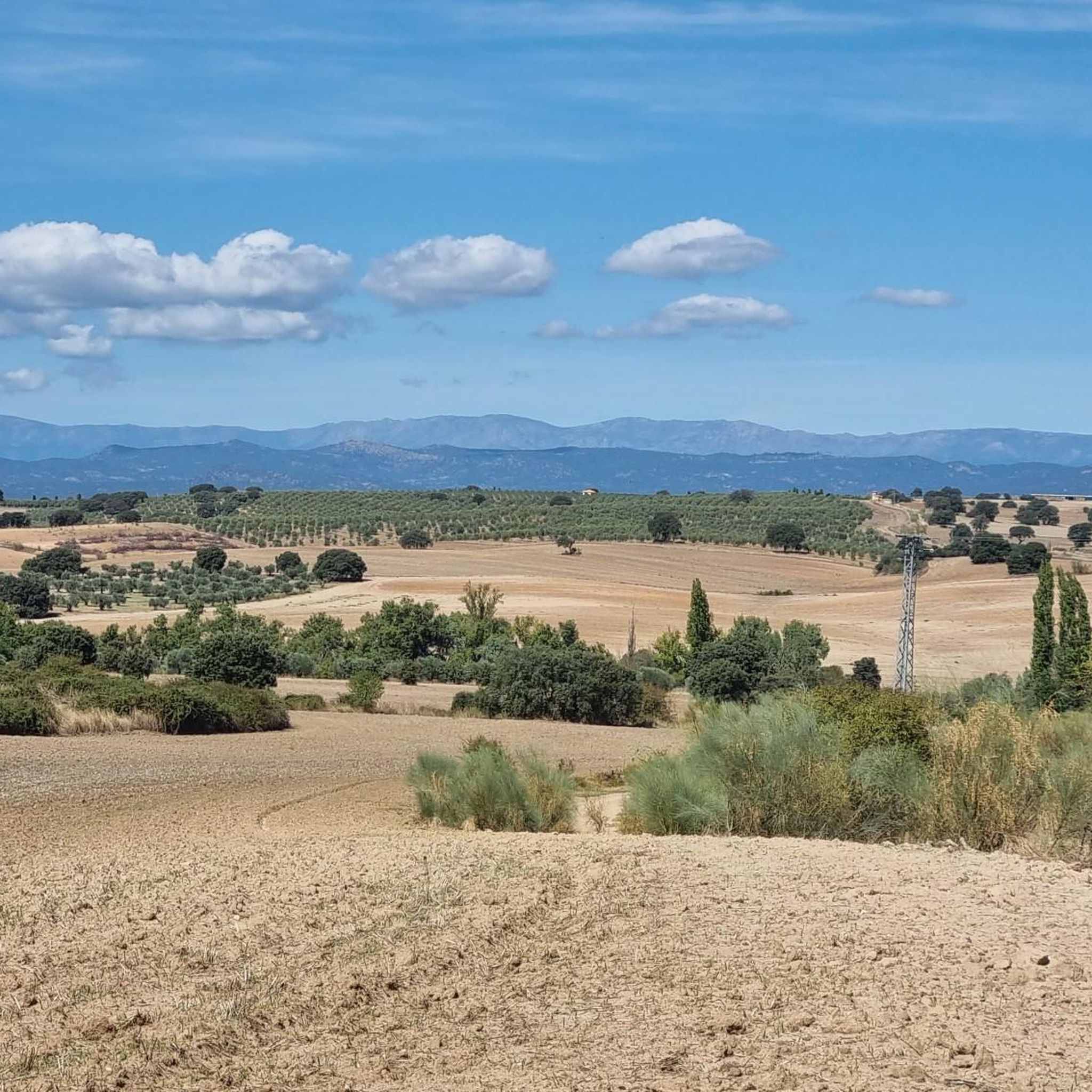
Hiking around Santa Olalla offers diverse landscapes and attractions for various skill levels. The region features historic sites, including the castles of Barcience and Caudilla, which are often integrated into longer routes. The Embalse del Carpio (Carpio Reservoir) is a prominent natural feature, providing scenic paths. Terrain varies, accommodating both casual walkers and experienced trekkers.
Best hiking trails around Santa Olalla
- The most popular hiking route is Castillos de Barcience y Caudilla — circular desde Torrijos, a 13.5 miles (21.7 km) trail that takes 5 hours 38 minutes to complete. This difficult route explores historic castles and varied rural landscapes.
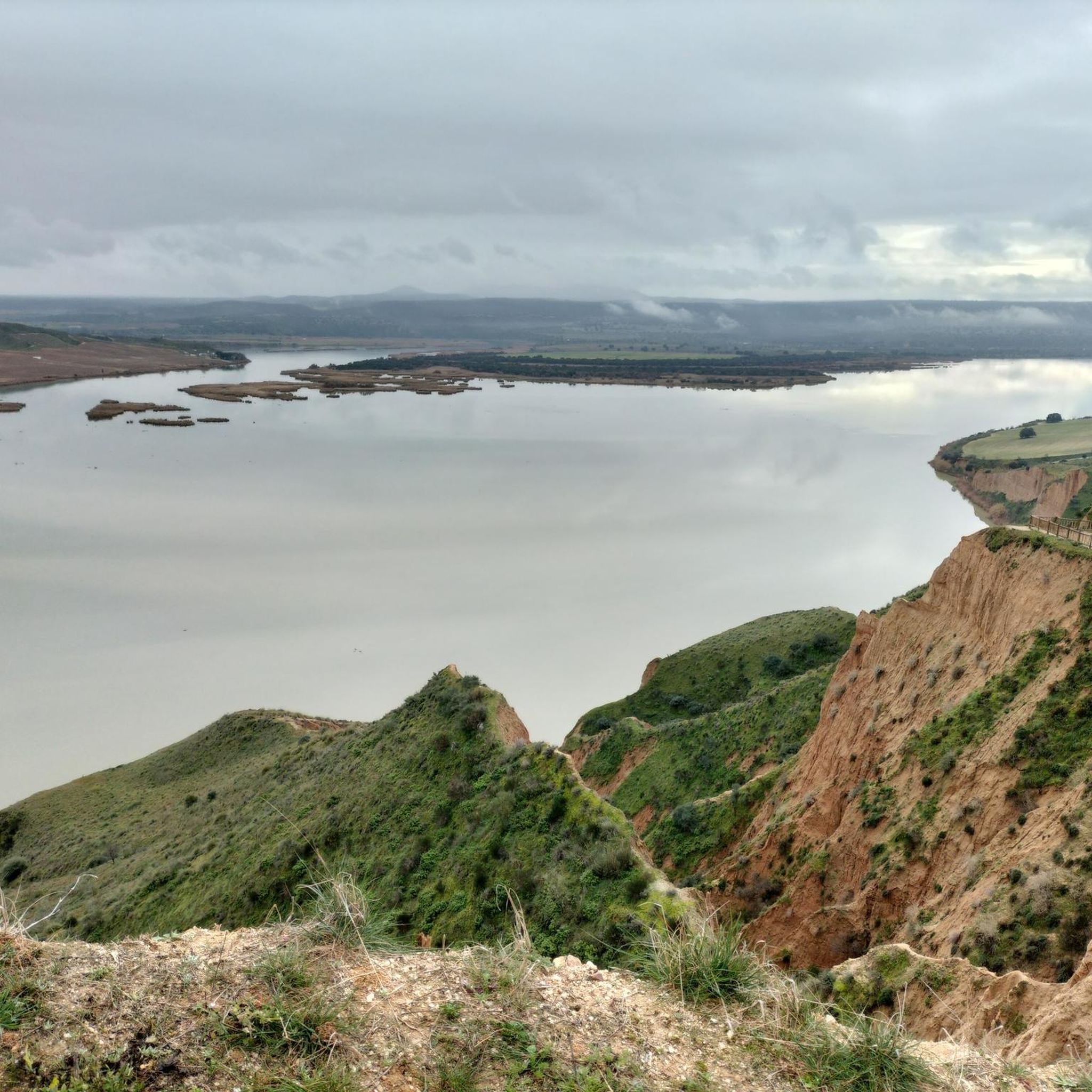
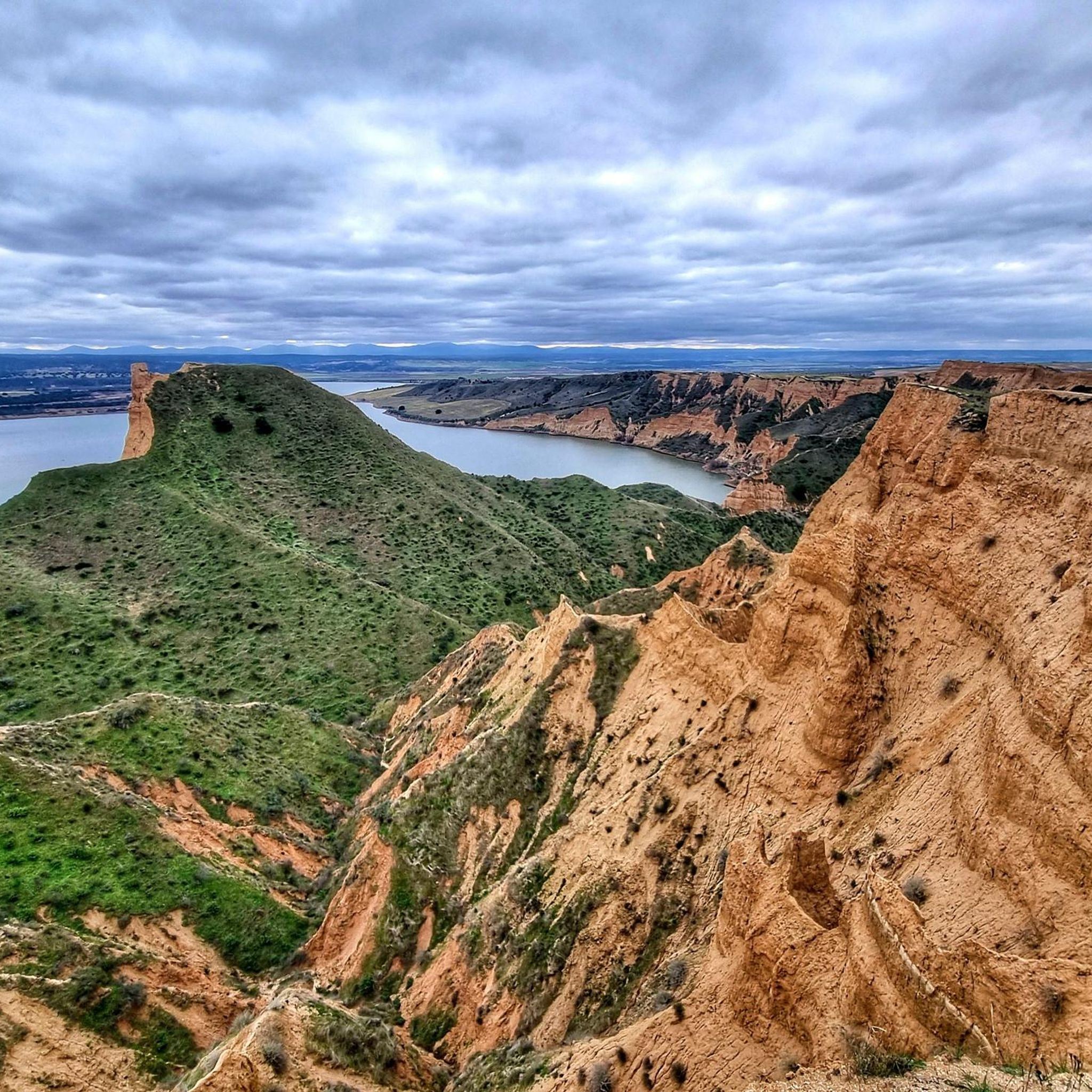
- Another top favourite among local hikers is Embalse del Carpio y la Casa del barquero — circular desde El Carpio de Tajo, a moderate 7.8 miles (12.5 km) path. This trail offers views of the Embalse del Carpio reservoir and surrounding natural areas.
- Local hikers also love the Torrijos Town Center loop from Torrijos, a 7.1 miles (11.4 km) trail leading through local paths and the town center, often completed in about 2 hours 55 minutes.
- Hiking around Santa Olalla is defined by historic sites, reservoirs, and varied terrain. The network offers options for different ability levels, from easy walks to more challenging treks.
- The routes in Santa Olalla are highly rated by the komoot community with an average score of 4.6 stars from more than 10 reviews. More than 10 hikers have used komoot to explore Santa Olalla's varied terrain.
Last updated: May 14, 2026
5.0
(1)
1
hikers
21.7km
05:38
130m
130m
Hard hike. Very good fitness required. Easily-accessible paths. Suitable for all skill levels.
Moderate hike. Good fitness required. Easily-accessible paths. Suitable for all skill levels.

Sign up for free
2
hikers
11.4km
02:55
40m
40m
Moderate hike. Good fitness required. Easily-accessible paths. Suitable for all skill levels.
3.0
(2)
3
hikers
9.20km
02:22
40m
40m
Moderate hike. Good fitness required. Easily-accessible paths. Suitable for all skill levels.
2
hikers
8.31km
02:12
80m
80m
Moderate hike. Good fitness required. Easily-accessible paths. Suitable for all skill levels.
Get access to more routes and recommendations from other explorers.
Sign up for free
Already have an account?
Our route recommendations are based on thousands of hikes, rides, and runs completed by other people on komoot.
Start today with a free account
Your next adventure awaits.
Login or Signup
Tips from the Community

Barcience Castle is a medieval fortress located in the municipality of Barcience, in the province of Toledo. It stands on a hill that dominates the surroundings, offering a strategic view of the surrounding landscape.
5
0

The old boatman's house, from the times when the boatman was an important person, since he allowed farmers and horses, vehicles, etc. to cross the river, before the construction of the bridge. Today it has become a recreational area in the beautiful surroundings of the Tagus River.
0
0
Views of the small Carpio de Tajo reservoir, connected to the Castrejon Canal. It is a popular fishing area.
0
1

Torrijos gives its name to its region in the plain between the Tajo and Alberche rivers. It is the natural center of trade in goods and services in this area of Toledo. With its population of almost 13,000 inhabitants, it has all the services of a small city and has direct communications by train and bus with the main cities of Toledo and Extremadura. Its monuments, such as the palace of Peter I or its collegiate church, testify to its historical importance since the Middle Ages.
1
0

Although the town of Caudilla is uninhabited, the ruins of the church remain there and even more striking are those of the Rivadeneyra castle, which was built in the 15th century and which curiously, after centuries of wars and attacks of the climate, is still standing. the figure of Christ at the top of its tower that makes it a very curious and striking place for many, especially for photography lovers looking for their best shot at night under a starry sky.
1
0
We can tour its large courtyard, and the almost square plan that it presents, indicating by its size and the time in which it was erected, that it served as a residence rather than a defensive fort. Two interesting cubes are indications of the barrier and the moat that protected the entrance door to the enclosure, and of which there are no remains. Three towers, two circular, another square, and the homage, make up the rest of the enclosure. Juan de Silva, the first Count of Cifuentes, began the construction of the fortress in the 14th century, which would be completed by his grandson, with the same name. It was endowed with artillery and garrison in the 16th century.
7
0

Torrijos has an enormous architectural heritage, among which it is worth highlighting the train station, the parish church (with a very old organ and elements brought from Medina Azahara), the palace of Pedro I or even its more contemporary Center for the Elderly.
4
0
Frequently Asked Questions
How many hiking trails are available around Santa Olalla?
There are 11 hiking trails around Santa Olalla, offering a variety of experiences for different skill levels. These include 2 easy routes, 7 moderate routes, and 2 difficult routes.
Are there any easy hiking trails suitable for beginners or families?
Yes, Santa Olalla offers 2 easy routes, typically under two hours with less than 300 meters of elevation gain, making them suitable for all fitness levels and families. While specific family-friendly routes aren't detailed, the easy trails provide accessible paths for a pleasant outing.
Can I find circular hiking routes in Santa Olalla?
Yes, many of the trails around Santa Olalla are circular. For example, the moderate route Embalse del Carpio y la Casa del barquero — circular desde El Carpio de Tajo offers scenic views of the reservoir, and the Torrijos Town Center loop from Torrijos provides a pleasant walk through the town and surrounding paths.
What kind of terrain can I expect on the hiking trails?
The terrain around Santa Olalla is quite varied. You can expect a mix of rural landscapes, paths around reservoirs, and routes that incorporate historic sites. Trails range from easily accessible paths for casual walkers to more challenging terrain requiring firm footing for experienced hikers.
Are there any historical landmarks or castles to see while hiking?
Absolutely. The region is rich in historic sites. The difficult route Castillos de Barcience y Caudilla — circular desde Torrijos specifically explores historic castles. Other notable landmarks in the area include the Cebolla Castle Ruins and San Silvestre Castle, which can be points of interest on various routes.
Are there any hikes that feature water bodies or reservoirs?
Yes, the Embalse del Carpio (Carpio Reservoir) is a prominent natural feature in the area, providing scenic routes. The moderate trail Embalse del Carpio loop from El Carpio de Tajo is a great option for enjoying views of the reservoir and its surroundings.
What do other hikers say about the trails in Santa Olalla?
The trails in Santa Olalla are highly rated by the komoot community, with an average score of 4.6 stars from more than 10 reviews. Hikers often praise the diverse landscapes, the blend of natural beauty with cultural exploration, and the variety of options for different ability levels.
Are there any challenging hikes for experienced trekkers?
Yes, for experienced hikers, there are 2 difficult routes available. These trails often exceed five hours or 900 meters of elevation, demanding very good physical fitness, firm footing, and appropriate footwear. An example is the Castillos de Barcience y Caudilla — circular desde Torrijos, which is 21.7 km long.
What are some other points of interest near the hiking trails?
Beyond the castles and reservoir, you can explore other points of interest such as the Plaza de España and Monument to the Cross in Torrijos, or the Parish Church of Our Lady of the Assumption. The Torrijos Town Center itself is also a pleasant area to visit.
Is Santa Olalla a good destination for moderate hikes?
Santa Olalla is an excellent destination for moderate hikes, with 7 routes falling into this category. These trails can extend up to five hours with up to 900 meters of elevation gain, requiring good physical condition. An example is the Hiking loop from La Pelejera, which is 9.2 km long.
What is the best time of year to go hiking in Santa Olalla?
While specific seasonal data isn't provided, generally, spring and autumn offer the most pleasant hiking conditions in this region of Spain, with milder temperatures. Summer can be very hot, making early mornings or late afternoons preferable for hiking, while winter can be cooler but often still suitable for outdoor activities.
Most popular attractions around Santa Olalla

Get inspired with the komoot mobile app


Explore more
Browse the best Hikes in other regions.
