The best road cycling routes around Estercuel
5.0
(3)
190
riders
12
rides
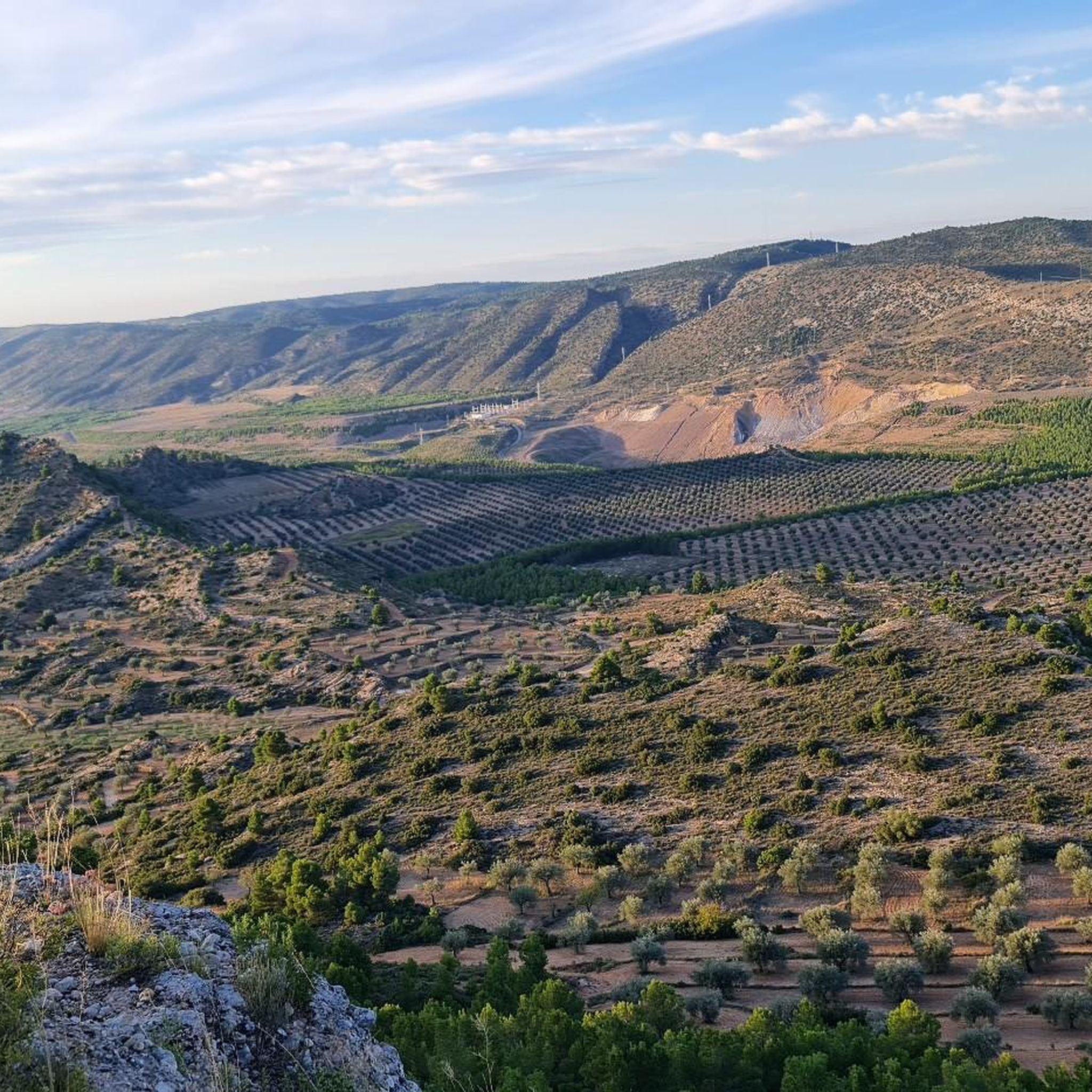
Road cycling around Estercuel, located in the Andorra-Sierra de Arcos region of Teruel province, Spain, offers diverse landscapes for cyclists. The area features the mountainous terrain of the Serranía de Montalbán, providing significant elevation changes. River valleys, such as those formed by the Guadalopillo and Escuriza rivers, offer contrasting flatter sections. The region also encompasses parts of the Maestrazgo Cultural Park, known for its varied geological formations and natural beauty.
Best road cycling routes around Estercuel
- The most popular road…
Last updated: May 11, 2026
125km
06:33
2,310m
2,310m
Hard road ride. Very good fitness required. Mostly well-paved surfaces and easy to ride.
122km
06:26
2,230m
2,240m
Hard road ride. Very good fitness required. Mostly well-paved surfaces and easy to ride.

Sign up for free
5.0
(1)
46
riders
117km
06:22
2,420m
2,420m
Hard road ride. Very good fitness required. Mostly well-paved surfaces and easy to ride.
5.0
(1)
46
riders
85.5km
04:59
1,940m
1,940m
Hard road ride. Very good fitness required. Some segments of this route may be unpaved and difficult to ride.
5.0
(1)
28
riders
109km
06:09
2,310m
2,310m
Hard road ride. Very good fitness required. Some segments of this route may be unpaved and difficult to ride.
Get access to more routes and recommendations from other explorers.
Sign up for free
Already have an account?
Our route recommendations are based on thousands of hikes, rides, and runs completed by other people on komoot.
Start today with a free account
Your next adventure awaits.
Login or Signup
Popular around Estercuel
Tips from the Community

Tough climb but with beautiful hairpin bends
0
0

The first time we see the town of Villarluengo, it will leave us speechless due to its location, as it is located on top of a rocky hill next to a deep ravine. If we go through Villarluengo it is worth visiting the Balcony of the Forasteros, the Town Hall building, the parish church or the Hermitages of San Bartolomé and San Cristóbal. If we feel like enjoying nature, we can visit the natural monument of Los Órganos de Montoro or the port of Cuarto Pelado.
2
0
The port of Villarroya separates the Sierra de Gúdar. From the Villarroya viewpoint we will have magnificent views of the town of Villarroya de los Pinares.
1
0

Throughout the year the village receives visitors to see the Marco Canyon and the cave paintings in the Martín River Natural Park (UNESCO). Alcaine has had mines for a long time, but in the Franco era, and due to a lack of energy, the Gil family's mine was buried and a swamp was created to use the water to make electricity (hydroelectric).
0
0
Mountain pass that starts in the town of Eljuve, with a length of 7 kilometers and an average slope of 5%. With a height difference of 350 meters, it is a port that rises in the middle of the Iberian System, in the heart of the Sierra de Eljuve
0
0

Very hard climb but worth it. Because on the other side you can enjoy the descent from the port of San Cristobal!
0
0
Mountain port that circles the Sierra de Rocha between the towns of Fortanete and Cantavieja. This port is reached from four roads that come from different towns: two from Cantaviejo, one from Fortanete and the other from Cañada de Benatanduz.
0
0
This port separates the areas of the Sierra de Gúdar, where the mountains at the end of the Iberian System rise. From this pass you can see the views of the town of Villarroya de los Pinares.
0
0
Frequently Asked Questions
What kind of terrain can I expect when road cycling around Estercuel?
Estercuel offers a diverse landscape for road cyclists. You'll find challenging climbs and descents in the mountainous terrain of the Serranía de Montalbán. In contrast, the river valleys of the Guadalopillo and Escuriza rivers provide flatter, scenic sections. The region also encompasses parts of the Maestrazgo Cultural Park, known for its varied geological formations and natural beauty, including areas like the 'Barrancondo' with its pine forests and diverse birdlife. You might even encounter unique landscapes near former mining areas.
Are there road cycling routes suitable for beginners in Estercuel?
The road cycling routes around Estercuel are primarily challenging, with 10 out of 12 routes rated as difficult and 2 as moderate. There are currently no easy routes listed, indicating the area is best suited for experienced road cyclists looking for significant elevation changes and demanding rides.
What are some notable natural features I can explore by road bike in the Estercuel area?
The region boasts several natural features ideal for road cycling. You can ride through the Serranía de Montalbán mountain range, offering rewarding views and challenging ascents. The valleys of the Guadalopillo and Escuriza rivers provide scenic routes, often following winding paths. The Maestrazgo Cultural Park is rich in geological formations, and areas like the 'Barrancondo' offer tranquil natural environments with Aleppo and resin pines, holm oaks, and diverse birdlife.
What kind of cultural or historical attractions can I visit along the road cycling routes?
You can incorporate several cultural and historical stops into your road cycling trips. The 16th-century Sanctuary of Santa María del Olivar, located just 4 km from Estercuel, offers impressive views from its hilltop position. The town of Estercuel itself, with its medieval origins and the Santo Toribio parish church, is a pleasant place to visit. Additionally, the Ejulve area is a common starting point for many routes and offers local charm.
Are there any scenic viewpoints or natural landmarks accessible by road bike?
Yes, the region offers several scenic spots. The Sanctuary of Santa María del Olivar provides impressive vistas of the Escuriza River valley and surrounding mountains. Mountain passes like Puerto de Majalinos are significant landmarks and offer panoramic views. The Cueva Foradada Reservoir also presents a tranquil destination for a scenic break.
What do other road cyclists say about the routes in Estercuel?
The road cycling routes in Estercuel are highly regarded by the komoot community, holding an average rating of 5.0 stars from over 3 reviews. Cyclists often praise the varied terrain, the challenging nature of the rides, and the beautiful landscapes encountered, particularly within the Maestrazgo Cultural Park and near the former mining areas.
Are there any circular road cycling routes around Estercuel?
Yes, many of the routes around Estercuel are designed as loops. For example, the Ejulve - Aliaga Maestrazgo Loop and the Cuencas Mineras and Puerto de Majalinos Loop are popular circular options, allowing you to start and finish in the same location after exploring the diverse regional landscapes.
What is the best time of year to go road cycling in Estercuel?
While specific seasonal data isn't provided, the Teruel province, where Estercuel is located, actively promotes cycling tourism. Generally, spring and autumn offer the most pleasant temperatures for road cycling in this region of Spain, avoiding the intense heat of summer and the colder conditions of winter. Checking local weather forecasts before your trip is always recommended.
Are there any routes that pass through unique geological areas?
Absolutely. The Maestrazgo Cultural Park, which Estercuel is part of, is renowned for its breathtaking landscapes shaped by millions of years of geological history. Routes like the Ejulve - Aliaga Maestrazgo Loop traverse this varied terrain. Additionally, the 'desmontes mineros' to the west of Estercuel, former open-pit lignite mines, offer a unique, almost 'science fiction' landscape of geological interest, providing a distinctive backdrop for a road cycling route.
How long do road cycling routes in Estercuel typically take to complete?
The road cycling routes around Estercuel are generally long and challenging. For instance, the Puerto de Villarluengo – Mountain Pass loop from Ejulve typically takes around 6 hours and 21 minutes, while the Ejulve - Aliaga Maestrazgo Loop can take about 6 hours and 33 minutes. These durations reflect the significant distances and elevation gains involved.
Are there any routes that include significant mountain passes?
Yes, the region is known for its mountainous terrain and includes significant mountain passes. The Cuencas Mineras and Puerto de Majalinos Loop specifically explores areas near former mining landscapes and includes notable mountain passes. Another example is the San Cristóbal Pass – Puerto de Majalinos loop from Gargallo, which features two prominent passes.
Most popular routes around Estercuel
Most popular attractions around Estercuel

Get inspired with the komoot mobile app


Explore more
Browse the best Road cycling routes in other regions.
