Top 13 Mountain Passes around Hiriberri/Villanueva De Aezkoa
Best mountain passes around Hiriberri/Villanueva De Aezkoa are found within the Navarrese Pyrenees, offering access to the Sierra de Abodi and the Irati Forest. This region is characterized by its dramatic geological formations, dense beech forests, and expansive views of the Pyrenean landscape. Hiriberri/Villanueva De Aezkoa serves as a gateway to these high points, which include significant sections of the GR11 long-distance path. The area provides opportunities for exploring diverse terrain, from rocky walls to forested trails.
Best mountain passes…
Last updated: July 10, 2026
Ibañeta Pass and the Roland Monument
Highlight • Mountain Pass
Translated by Google •
Tip by

Ibañeta Pass
Highlight • Mountain Pass
Tip by

Sign up now to discover places like this
Get recommendations on the best single tracks, peaks, & plenty of other exciting outdoor places.
Sign up for free
Tapla Pass
Highlight • Mountain Pass
Translated by Google •
Tip by

First climbs in the Camino Francés (Navarra)
Highlight (Segment) • Mountain Pass
Descending quickly and pleasantly down from the Ibañeta Pass towards Auritz-Burguete on the N-135 (beware of possible traffic), you have the illusion that …
Tip by
Col d'Arnosteguy
Highlight • Mountain Pass
The landscape is wild and wonderful. You can breathe …
Translated by Google •
Tip by

Sign up for free to discover even more mountain passes around Hiriberri/Villanueva De Aezkoa.
Sign up for free
Already have an account?
Start today with a free account
Your next adventure awaits.
Login or Signup
Popular around Hiriberri/Villanueva De Aezkoa
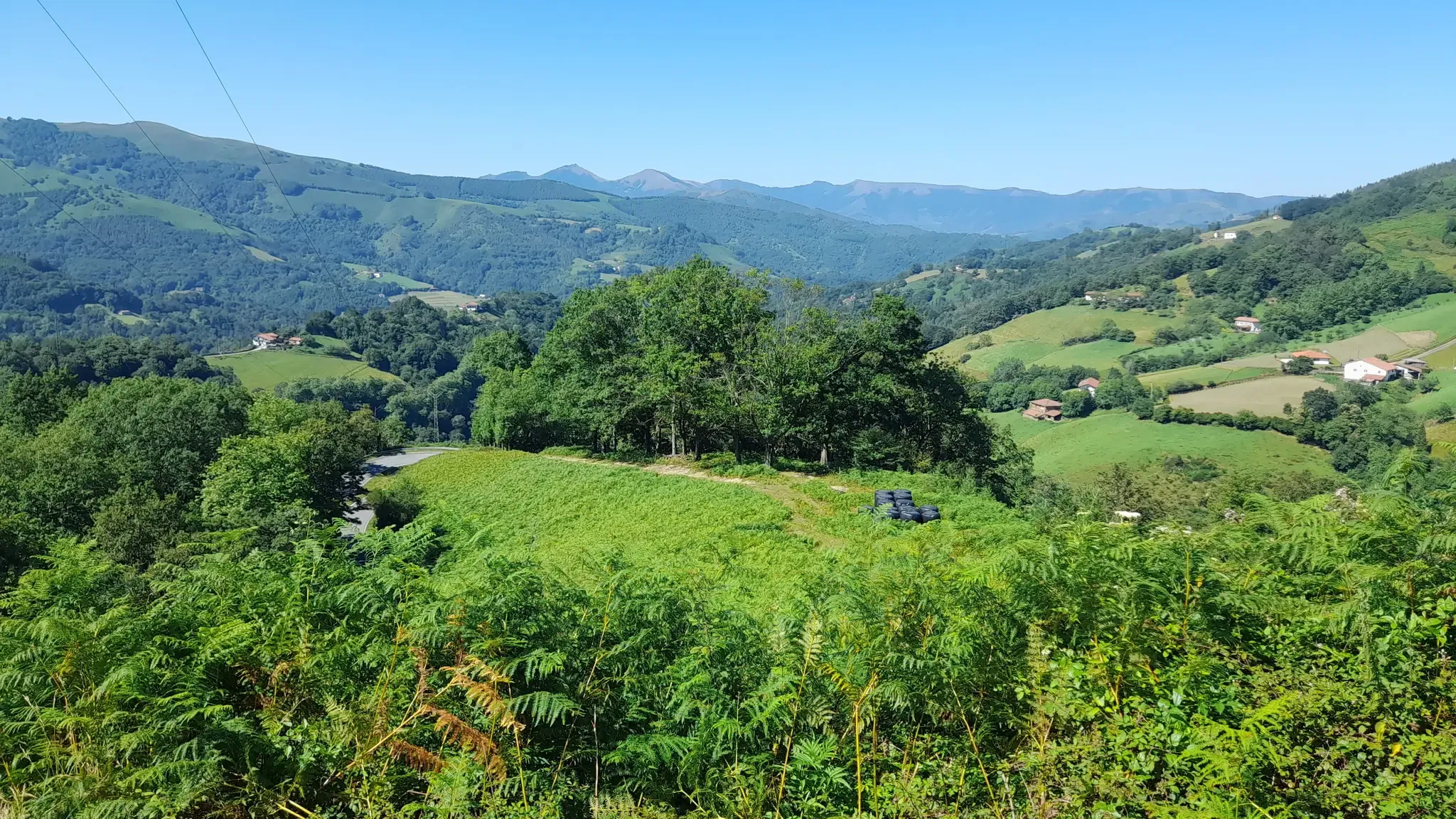
Discover the Basque Country and Navarre on the Pyrenean Path – GR 11
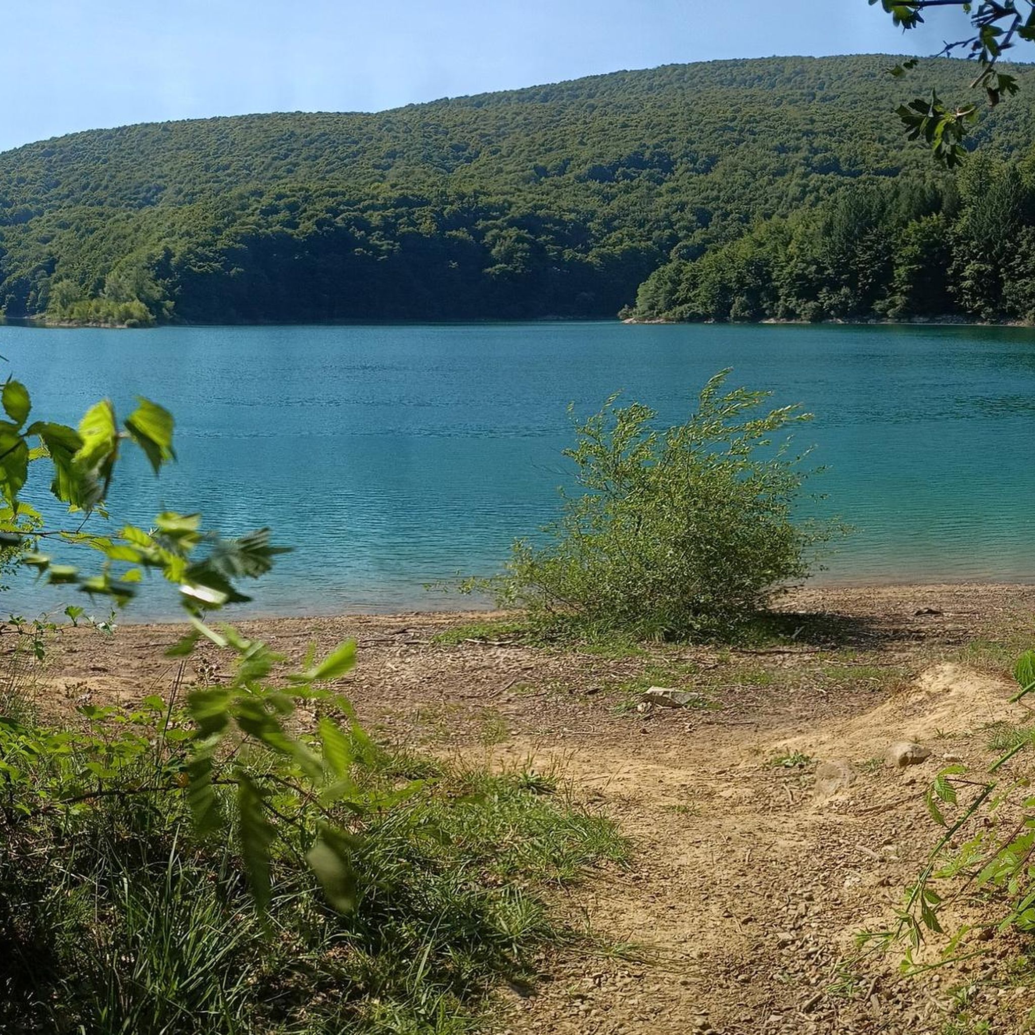
Road Cycling Routes around Hiriberri/Villanueva De Aezkoa
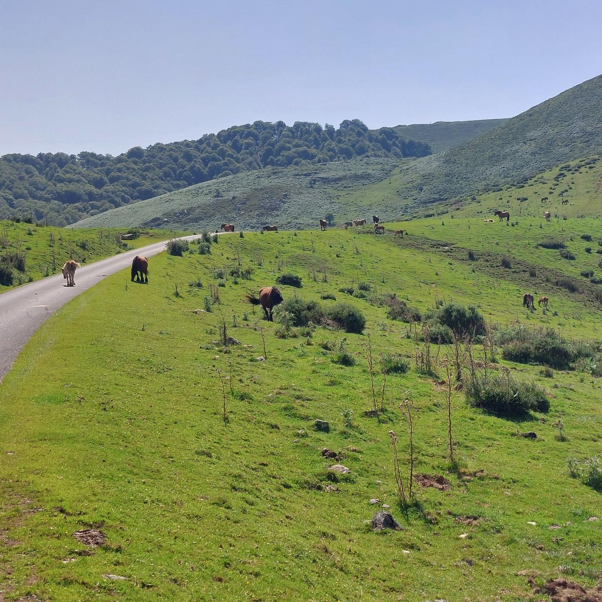
Running Trails around Hiriberri/Villanueva De Aezkoa
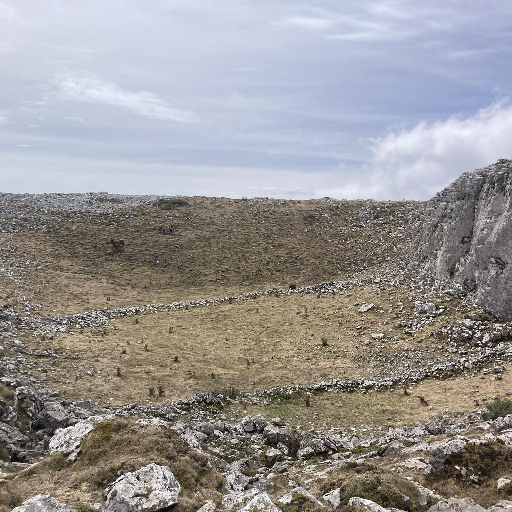
MTB Trails around Hiriberri/Villanueva De Aezkoa
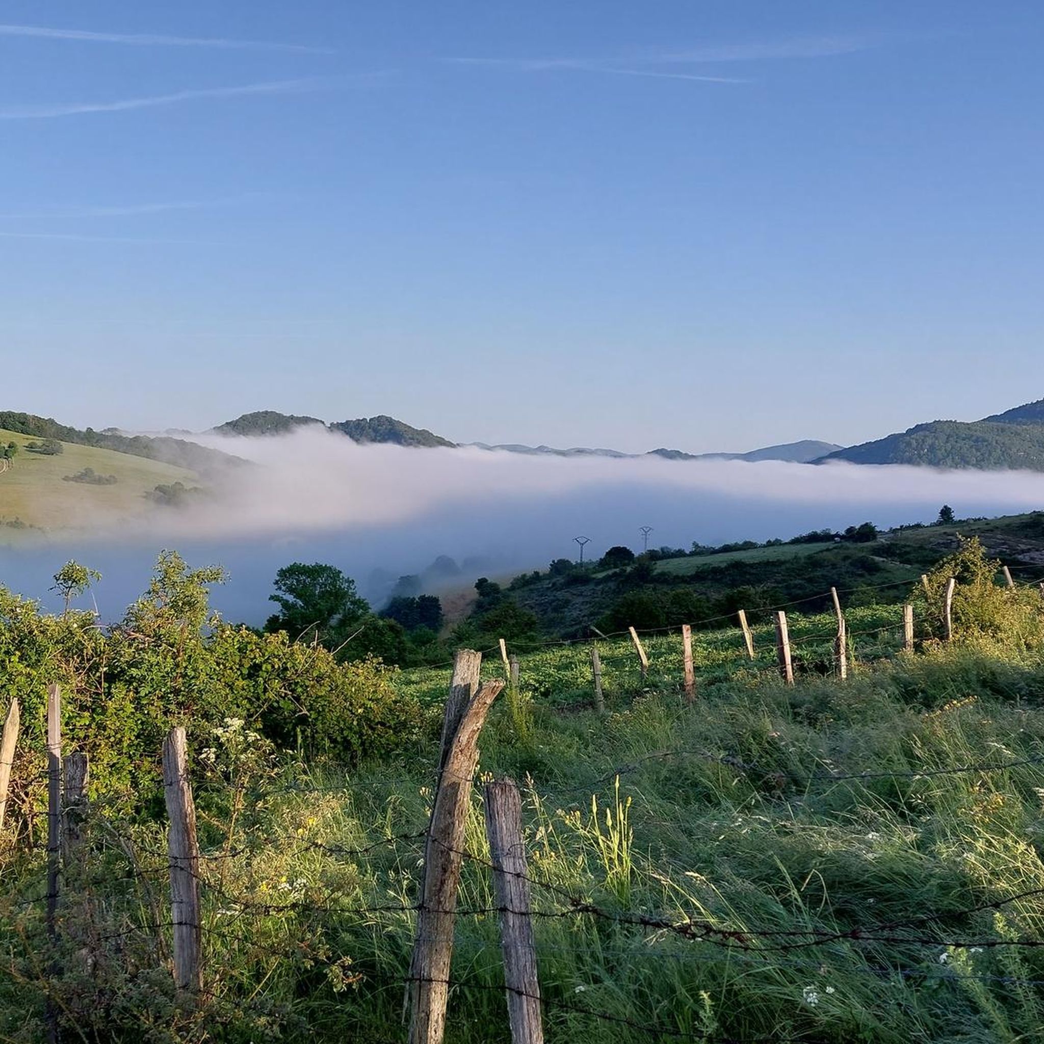
Hiking around Hiriberri/Villanueva De Aezkoa
Cycling around Hiriberri/Villanueva De Aezkoa

Gravel biking around Hiriberri/Villanueva De Aezkoa
Other adventures around Hiriberri/Villanueva De Aezkoa

Tips from the Community

One of the most inhospitable and spectacular mountain passes in the eastern Pyrenees, with several slopes, all of them very difficult. The landscape is wild and wonderful. You can breathe absolute tranquility and you can dedicate yourself exclusively to enjoying the views, the horses, the sheep, the cows and the suffering on the bike. The summit is on the border with Spain, although there is no road that crosses the border, so the pass runs entirely in France. I have climbed it on 2 of its slopes. The first time I climbed it on the slope that crosses the Col d'Orgambide, on the D428 road, which starts from Estérençuby. The first 3 km are very easy, until you cross the detour to go up to Artaburu, where the road begins to have slopes of more than 10%. From there, to the summit, the climb is very hard, around 9%, on a very rough and bumpy road, with a lot of humidity and crossing a wonderful beech forest. Once you reach the top of the Col d'Orgambide, you turn right and continue climbing for another half kilometre with a gradient of 11%. There comes a small descent, to face the last 3 kms, the first 2 very hard with several 13% gradients. The last kilometre is very easy and has panoramic views that are simply wonderful. The second time I climbed it on the side that starts from Arneguy and Ondarolle. This side is harder than the previous one, with a central section that is hellish, being 6 kms at an average of 10%, and a very hard km at 12% and 18% gradients!!! The final part is more gentle. You cross the Croix de Thibault in the penultimate kilometre of the climb. The final kilometre is very gentle and with beautiful and exciting panoramic views.
1
0
It is a beautiful border pass between Spain and France, well known for being part of the most traditional route of the Camino de Santiago. Sportingly, the climb on both sides is easy, although on the French side it is much longer as it starts at a lower altitude. The Spanish side is just 6 km from Burguete, the last being the most difficult with an average gradient of 7%. On this side you pass the famous and well-known monastery of Roncesvalles. The French side is 18 km from Arnegui and an average gradient of 4%. The hardest part is 5 km from the summit, with one kilometre at 7%. The landscape on this side is of lush vegetation going up a very closed valley that hardly leaves room for views of the surrounding mountains. The road is very twisty. It is a port with very good asphalt and a lot of traffic in general... so, be careful!
1
0

The Ibañeta Pass, also known as the Roncesvalles Pass, is a scenic mountain pass in the Pyrenees, near the border between France and Spain. At an altitude of 1,057 metres, it offers breathtaking views and a rich historical background. The pass is best known for the Battle of Roncevaux in 778, a legendary event sung about in the epic poem “The Song of Roland”. A menhir marks the traditional site of this battle, emphasising the historical significance of the location.
2
0

A great climb up to the pass. Once you reach the top you get a great view. There is a small church at the top and also a monument. There has always been a hospital up here. However, only the foundations of it remain
2
0

Roland, who is commemorated here, died in 778 as part of the rear guard of Charlemagne's Frankish army. He himself was Margrave of Brittany and was the victim of a Basque revenge campaign against the Frankish conquerors who were retreating from a failed Saracen campaign. Those were complicated times, but things were not to become any less complicated in the Basque Country in the centuries that followed. An epic/song was later sung about Roland, which is part of world literature. The monument itself is simple and rough, exposed up here in the wind of the weather, and can therefore have an immediate effect, without pomp and splendor. Great! https://de.wikipedia.org/wiki/Schlacht_von_Roncesvalles
2
0
The views from the top are wonderful. You have to stand quietly to enjoy the beauty, especially on sunny spring and summer days.
0
0
It is a beautiful port of about 8 - 9 km for each of its slopes that connects Ochagavía with the sanctuary of Nuestra Señora de las Nieves in the Irati Jungle, one of the entrances to the forest. It is highly recommended to try both slopes because, although similar in length and hardness, they are very different in terms of landscape. The southern slope of Ochagavía is very open, with views of the valley and the surrounding mountains at all times, crossing mountain meadows. On the other hand, on its northern slope, the climb runs through the Irati Forest surrounded by beech trees. The final part of this slope is clear, although you are inside a very charming gorge. The views from the top are simply wonderful. It is worth stopping carefully, observing the views and taking some photos. It is usually windy, so a windbreaker is essential.
0
0

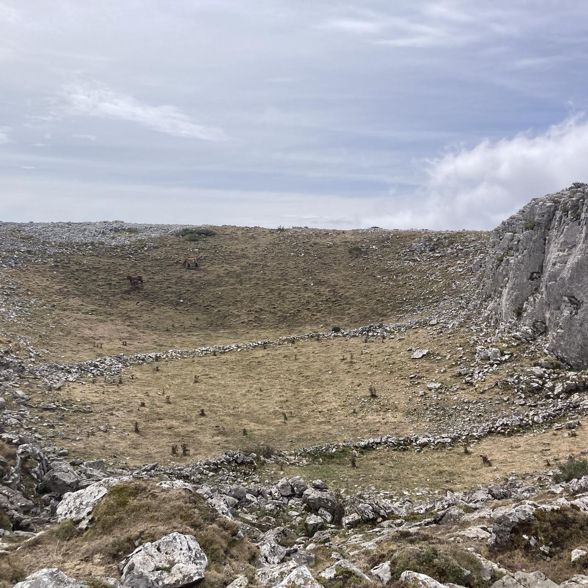
Before reaching Irati there is this hill with a magnificent viewpoint. If you're lucky you'll see the area's semi-wild horses up close. It is a port with a constant slope, it is long and it is beautiful
1
0
Frequently Asked Questions
What are some notable mountain passes and high points in the Hiriberri/Villanueva De Aezkoa region?
The region offers a variety of significant mountain passes and high points. Beyond the well-known Tapla Pass, which provides access to the Irati Forest, you can explore the dramatic rocky walls of the Sierra de Berrendi, with its peak offering expansive views. The Paso de Ollokiate is a key point along the GR11 long-distance path, known for its dense beech forests. Further up, Abodi Occidental (Harrizabala) is a high point in the Sierra de Abodi, offering 360-degree panoramic views of the Pyrenees.
What kind of views can I expect from the mountain passes in this area?
Many passes and high points in the Hiriberri/Villanueva De Aezkoa region offer breathtaking panoramic views. From the peak of Berrendi, you can see the Irati River valley, nearby villages, the majestic Pyrenees, and even parts of Gipuzkoa and France on clear days. Abodi Occidental provides extensive 360-degree views across the Pyrenean landscape. Passes like Ibañeta Pass and the Roland Monument and Tapla Pass are also noted for their spectacular vistas.
Are there any historical or cultural sites associated with the mountain passes?
Yes, the region has historical significance. At Ibañeta Pass and the Roland Monument, you'll find a small chapel built on the foundations of an 11th-century monastery and the Roland Monument, commemorating the Battle of Roncesvalles. Additionally, near Abodi Occidental, there are remains of megalithic structures, including a fallen menhir called Arrizabala and other tumuli, adding a rich historical dimension to the natural beauty.
What hiking opportunities are available around the mountain passes?
The area around Hiriberri/Villanueva De Aezkoa is excellent for hiking. Many passes, like Paso de Ollokiate and Paso Tapla, are part of the GR11 long-distance path. You can find various trails, from moderate to difficult, such as the 'Zamariain Viewpoint Trail' or 'Cliffs of Martxate via the Pyrenean Path (GR 11)'. For more options, explore the Hiking around Hiriberri/Villanueva De Aezkoa guide.
Can I go road cycling or gravel biking near these mountain passes?
Absolutely! The region offers challenging and scenic routes for both road cycling and gravel biking. Road cyclists can tackle climbs like the 'Irati Forest and Tapla Pass Loop' or the 'Port de Larrau Climb'. For gravel biking, routes like 'Ochagavía – Tapla Pass loop' provide adventurous terrain. Discover more routes in the Road Cycling Routes around Hiriberri/Villanueva De Aezkoa and Gravel biking around Hiriberri/Villanueva De Aezkoa guides.
What is the best time of year to visit the mountain passes in Hiriberri/Villanueva De Aezkoa?
The best time to visit largely depends on your preferred activity. Spring and autumn offer pleasant temperatures and vibrant natural colors, especially in the beech forests of Irati. Summer is ideal for hiking and cycling, though some areas can be busy. In winter, the Sierra de Abodi hosts a Nordic ski center, making it suitable for cross-country skiing and snowshoeing, but be prepared for snow and colder conditions on the passes.
Are there family-friendly options for exploring the mountain passes?
While many passes involve challenging climbs, there are areas suitable for families. The Irati Forest, accessible via passes like Tapla, offers numerous trails that can be adapted for different fitness levels. Look for shorter, less steep sections of trails or explore the lower elevations for a more relaxed experience. Always check specific route details for difficulty and suitability before heading out with children.
What are the typical terrain and difficulty levels of the mountain passes?
The terrain varies significantly. You'll encounter dramatic rocky walls in areas like Sierra de Berrendi, dense beech forests around Paso de Ollokiate, and green hills and pastures in the Sierra de Abodi. Difficulty levels range from intermediate trails to challenging climbs, especially for cyclists. Passes like Col d'Arnosteguy are known for their very difficult slopes. Always check the specific route or pass details for elevation gain and terrain conditions.
Can I spot wildlife around the mountain passes?
Yes, the natural environment of the Navarrese Pyrenees is rich in wildlife. The Sierra de Berrendi is particularly known for its vultures, which can often be seen soaring near the rock faces. The extensive forests and remote areas also provide habitats for various other bird species and mammals, offering opportunities for wildlife spotting, especially during quieter times of the day.
Are there any hidden gems or less-known trails to explore?
While specific 'hidden gems' are often discovered through local knowledge, the vastness of the Irati Forest and the Sierra de Abodi means there are countless trails beyond the most popular ones. Exploring the less-traveled paths off the main GR11 sections can lead to serene spots and unique viewpoints. The megalithic structures near Abodi Occidental are also a less-publicized historical feature worth seeking out.
What amenities are available near the mountain passes?
Hiriberri/Villanueva De Aezkoa serves as a gateway to the passes, offering basic amenities. Nearby villages like Orbara and Orbaizeta may have small shops or eateries. For more comprehensive services, including accommodation, cafes, and pubs, you would typically find them in larger towns in the Aezkoa valley or along the Camino Francés route, such as Roncesvalles, which is close to Ibañeta Pass.
What makes the Irati Forest a significant attraction near these passes?
The Irati Forest, accessible via passes like Tapla Pass, is one of Europe's largest and most important beech forests. It offers an immersive experience in nature with dense vegetation, rich biodiversity, and a network of trails. Its stunning autumnal colors are particularly famous, making it a prime destination for hikers and nature lovers seeking tranquility and natural beauty.
Most popular routes around Hiriberri/Villanueva De Aezkoa
Most popular attractions around Hiriberri/Villanueva De Aezkoa

Get inspired with the komoot mobile app


Explore more
See even more epic mountain passes by checking out these guides around Hiriberri/Villanueva De Aezkoa:
