The best running trails around Garralda
5.0
(6)
116
runners
26
runs
Jogging around Garralda offers diverse routes within the Aézcoa valley in Navarra, Spain. The region is characterized by its mountainous terrain, dense beech and fir forests, and river valleys. Runners can explore paths through the expansive Irati Forest, which features winding trails and significant elevation changes. The landscape provides varied conditions, from riverside paths to challenging ascents, catering to different fitness levels.
Best jogging routes around Garralda
- The most popular jogging route is Zamariain Viewpoint Trail, a difficult 4.2…
Last updated: October 2, 2026
19
runners
6.73km
00:58
310m
310m
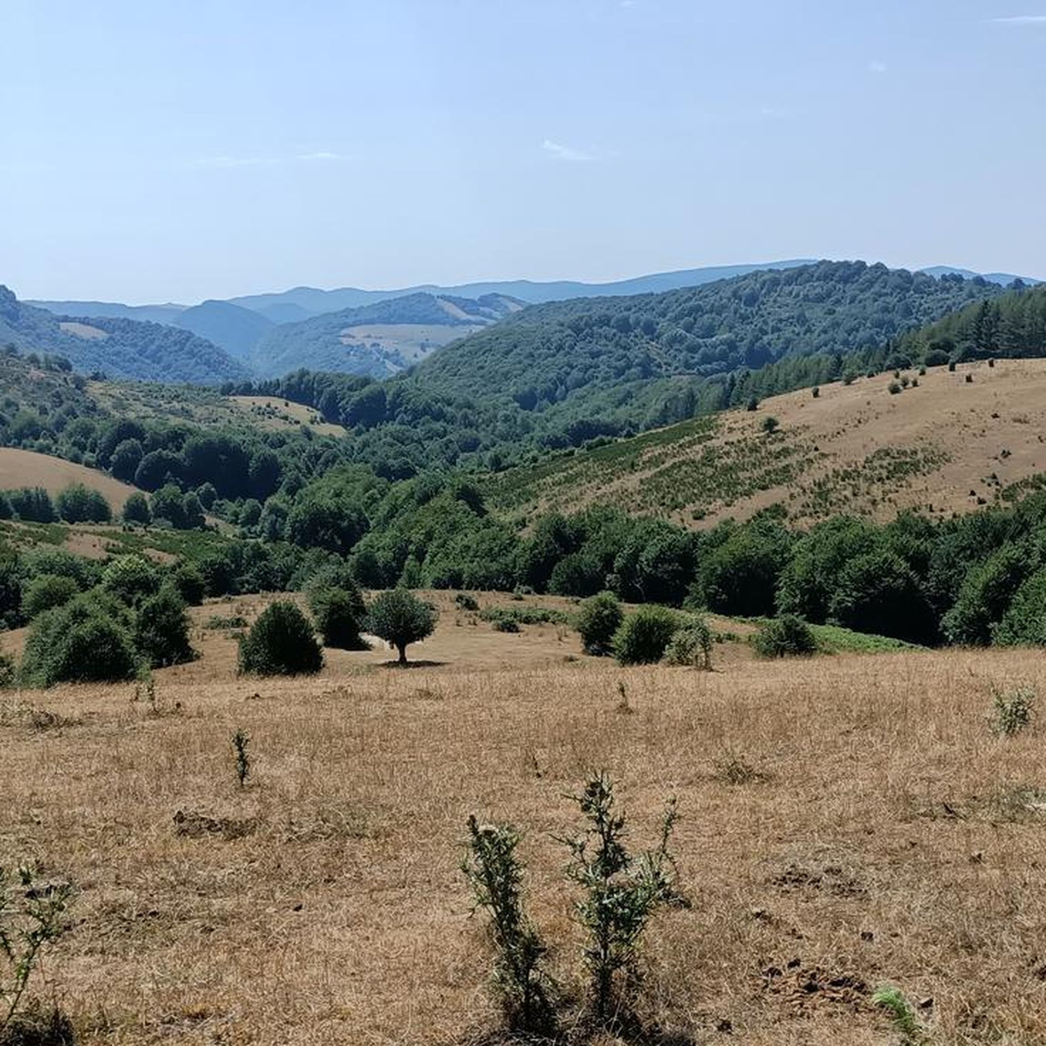
This difficult 4.2-mile trail run from Garaioa leads to the Mirador de Zamariain, offering panoramic views of the Irati Valley.
6
runners
8.19km
01:18
470m
470m
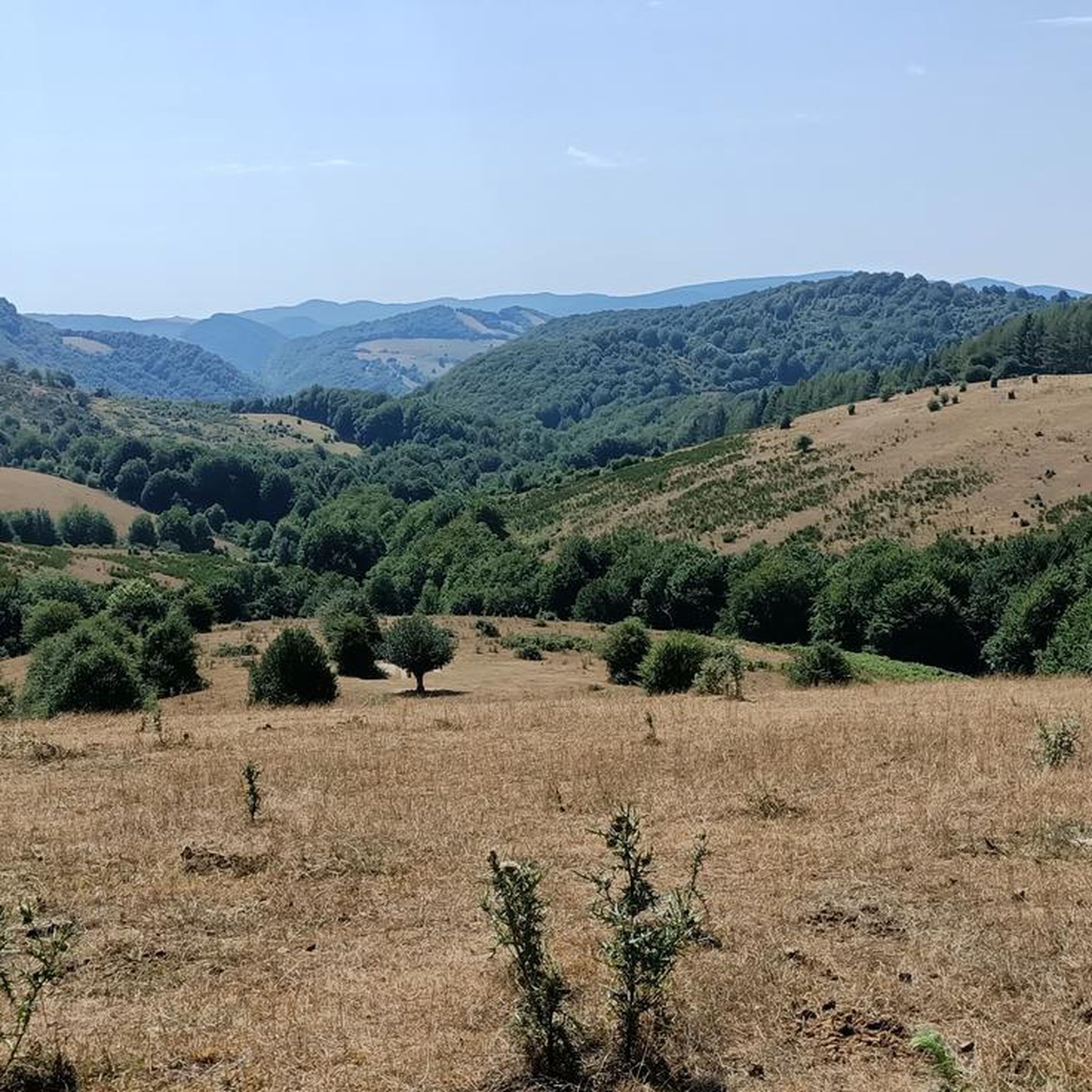
Jog the difficult 5.1-mile Txangoa - Roncesvalles Trail, gaining 1549 feet through Pyrenean forests and past Ibañeta Pass.

6
runners
8.62km
01:19
490m
490m
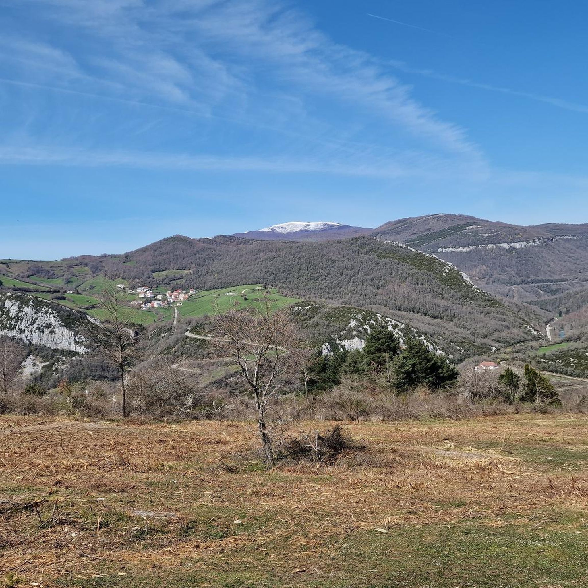
Hard run. Very good fitness required. Sure-footedness, sturdy shoes and alpine experience required.
5.0
(1)
6
runners
8.87km
01:00
110m
110m
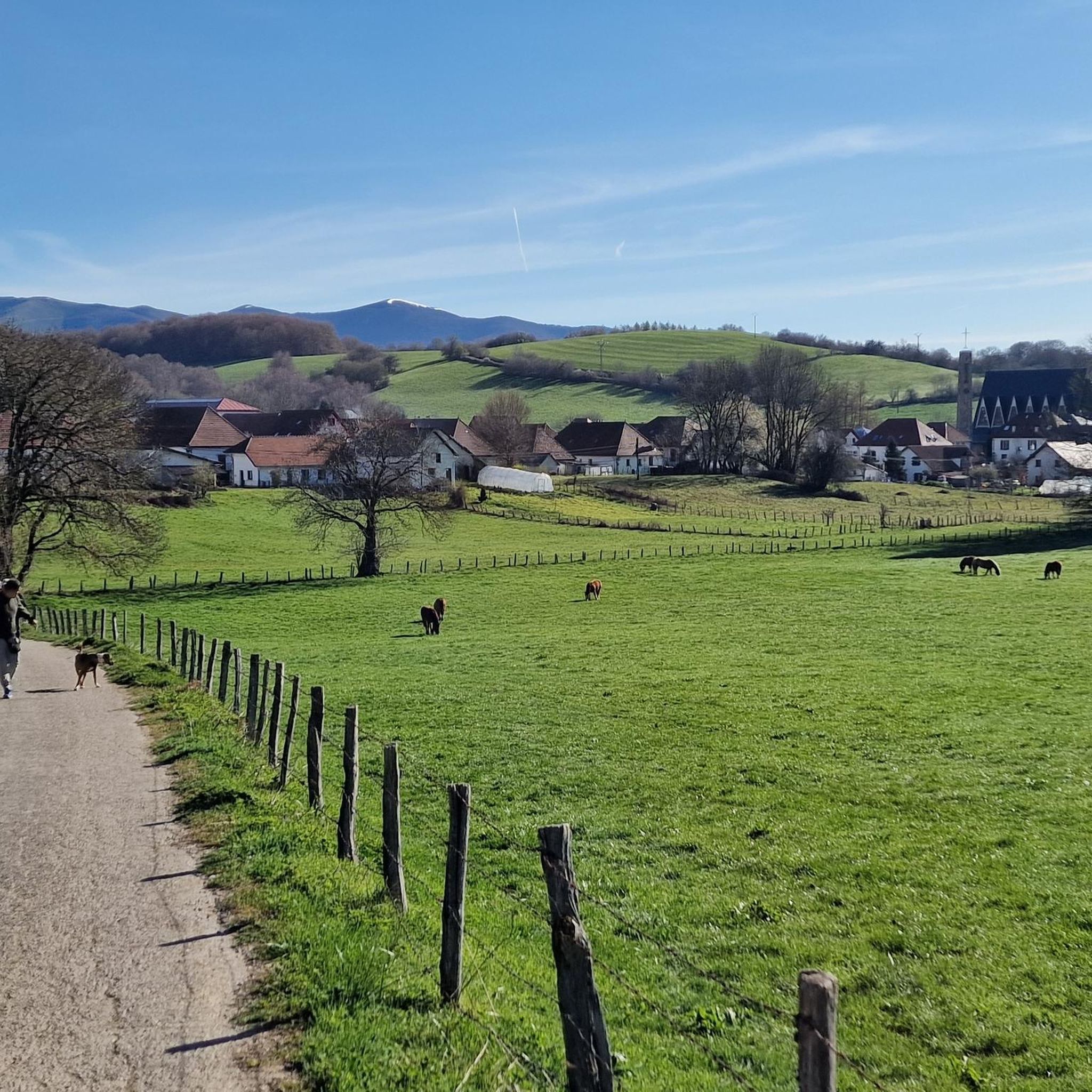
Moderate run. Good fitness required. Mostly paved surfaces. Suitable for all skill levels.
5
runners
5.36km
00:47
260m
260m
Moderate run. Good fitness required. Mostly paved surfaces. Suitable for all skill levels.
Get access to more routes and recommendations from other explorers.
Already have an account?
Our route recommendations are based on thousands of hikes, rides, and runs completed by other people on komoot.
Start today with a free account
Your next adventure awaits.

Tips from the Community

The Ibañeta Chapel is a moving and highly anticipated milestone for anyone walking the Camino de Santiago. After the grueling, steep ascent from the French side of the Pyrenees, crossing the border into Spain, and finally beginning your descent, this small chapel and the large stone cross beside it are a spectacular sight. The First Spanish Waypoint: It serves as the very first visible intermediate destination on the Spanish side of the mountains, signaling that the hardest part of the climb is officially behind you. Once you reach this point, you are almost done! Just a short walk further down the trail lies the day's final stage destination: the mighty and magnificent monastery complex of Roncesvalles.
1
0

Hemmingway loved this place.
0
0

It is a beautiful border pass between Spain and France, well known for being part of the most traditional route of the Camino de Santiago. Sportingly, the climb on both sides is easy, although on the French side it is much longer as it starts at a lower altitude. The Spanish side is just 6 km from Burguete, the last being the most difficult with an average gradient of 7%. On this side you pass the famous and well-known monastery of Roncesvalles. The French side is 18 km from Arnegui and an average gradient of 4%. The hardest part is 5 km from the summit, with one kilometre at 7%. The landscape on this side is of lush vegetation going up a very closed valley that hardly leaves room for views of the surrounding mountains. The road is very twisty. It is a port with very good asphalt and a lot of traffic in general... so, be careful!
1
0

After a long climb, you finally make it to the Ibeneta Pass and can enjoy the view as a reward. Up here, there is a small chapel and a memorial stone to the knight Roland, who is said to have fallen here.
2
0

Col Burriegeta, also known as Puerto de Ibañeta, is a historic mountain pass in the Pyrenees, located between France and Spain. The pass is best known for its role in the Camino de Santiago, where pilgrims cross the border on their way to Santiago de Compostela1. The pass offers breathtaking views and is home to the modern chapel of San Salvador, which replaced an older chapel, and a monument to Roland, which commemorates the Battle of Roncesvalles in 778. Col Burriegeta is an important passage for both pilgrims and cyclists, who enjoy the challenging climb and the beautiful surroundings.
2
0
A great climb up to the pass. Once you reach the top you get a great view. There is a small church at the top and also a monument. There has always been a hospital up here. However, only the foundations of it remain
3
0

Roland, who is commemorated here, died in 778 as part of the rear guard of Charlemagne's Frankish army. He himself was Margrave of Brittany and was the victim of a Basque revenge campaign against the Frankish conquerors who were retreating from a failed Saracen campaign. Those were complicated times, but things were not to become any less complicated in the Basque Country in the centuries that followed. An epic/song was later sung about Roland, which is part of world literature. The monument itself is simple and rough, exposed up here in the wind of the weather, and can therefore have an immediate effect, without pomp and splendor. Great! https://de.wikipedia.org/wiki/Schlacht_von_Roncesvalles
3
0

The pass is an important crossing of the Pyrenees, and a monastery with a hostel was set up in Roncesvalles for pilgrims on pilgrimage to St. James. The monks of the monastery also manned the chapel on the pass and rang the bells in the fog to show pilgrims the way.
5
0
Frequently Asked Questions
What kind of terrain can I expect on running routes around Garralda?
The running routes around Garralda are characterized by diverse terrain, including dense beech and fir forests, river valleys, and mountainous sections. You'll find winding paths, some with significant elevation changes, offering a mix of challenging ascents and more moderate forest loops. The region's proximity to the expansive Irati Forest means many trails are shaded and offer a natural, varied running surface.
Are there challenging running routes in Garralda for experienced runners?
Yes, Garralda offers several challenging running routes. For instance, the Zamariain Viewpoint Trail is a difficult 6.7 km (4.2 miles) route with an elevation gain of over 300 meters, leading to panoramic views of the Irati Valley. Another demanding option is the Txangoa - Roncesvalles Trail, an 8.2 km (5.1 miles) path through Pyrenean forests with a substantial 470-meter elevation gain.
What natural landmarks or viewpoints can I see while running in Garralda?
Many running routes in Garralda offer stunning natural landmarks and viewpoints. The Zamariain Viewpoint Trail provides panoramic views of the Irati Valley. You can also experience the vast Irati Forest, the second-largest beech and fir forest in Europe, with its lush greenery and seasonal colors. The Ibañeta Pass, often encountered on longer routes, offers breathtaking views and historical significance.
Are there family-friendly running routes in Garralda?
While many routes in Garralda involve significant elevation, there are options suitable for families or those seeking a more leisurely run. The Irati Forest offers numerous forest tracks and trails, some as short as 5 km, which are ideal for relaxed jogs. Routes around the Irabia reservoir also provide quieter, circular options through beech trees, though specific family-friendly routes are best explored on komoot for detailed information.
Can I bring my dog on the running trails in Garralda?
The natural areas around Garralda, including the Irati Forest, are generally welcoming to dogs. However, it's always recommended to keep your dog on a leash, especially in areas with wildlife or near livestock, and to follow local regulations regarding waste disposal. Always check specific trail guidelines before heading out to ensure a pleasant experience for everyone.
What is the best time of year for running in Garralda?
Garralda offers unique running experiences throughout the year. Spring brings fresh greenery, and summer provides cool shade in the forests. Autumn is particularly spectacular with vibrant red, yellow, and orange foliage, making it a popular time for scenic runs. Even winter offers a unique experience with snowy landscapes, though some higher elevation trails might require appropriate gear or be less accessible.
Are there circular running routes available in Garralda?
Yes, there are several circular running routes in the Garralda area. The Running loop from Aurizberri is a moderate 5.4 km (3.3 miles) trail that takes about 47 minutes to complete. Another option is the Burguete – Basajaunberro Forest loop from Orreaga / Roncesvalles, a longer moderate route of 11.3 km (7 miles).
Is parking available near the running trailheads in Garralda?
Yes, parking is generally available near many of the trailheads in the Garralda area, especially for popular access points to the Irati Forest and other routes. Specific parking details can often be found on individual route pages on komoot or by checking local tourism information for the Aézcoa valley.
What do other runners enjoy the most about jogging in Garralda?
The running routes around Garralda are highly rated by the komoot community, with an average score of 4.3 stars from 7 reviews. Runners often praise the stunning natural landscapes, particularly the immersive experience of the Irati Forest, the varied terrain that caters to different fitness levels, and the breathtaking panoramic views from viewpoints like Mirador de Zamariain.
How many running routes are available around Garralda?
There are over 20 running routes available around Garralda on komoot, offering a wide range of options for different preferences and fitness levels. These include 12 moderate and 12 difficult routes, ensuring there's something for everyone from casual joggers to experienced trail runners.
Are there any historical sites or cultural attractions near the running routes?
Yes, the region around Garralda is rich in history. The Txangoa - Roncesvalles Trail passes by the historic Ibañeta Pass, which has a small chapel on the foundations of an 11th-century monastery. The nearby Roncesvalles Collegiate Church is also an important pilgrimage station on the Way of St. James, offering a glimpse into the area's cultural heritage.
What are some moderate running routes in the Garralda area?
For those looking for a moderate challenge, the Burguete – Basajaunberro Forest loop from Auritz is a great option. This 11.1 km (6.9 miles) route takes you through varied terrain with an elevation gain of around 198 meters, typically completed in about 1 hour and 18 minutes. It offers a good balance of distance and elevation without being overly strenuous.
Most popular attractions around Garralda

Get inspired with the komoot mobile app


Explore more
Browse the best Running Trails & Routes in other regions.
