The best walks and hikes around Villanueva De Perales
4.4
(143)
848
hikers
82
hikes
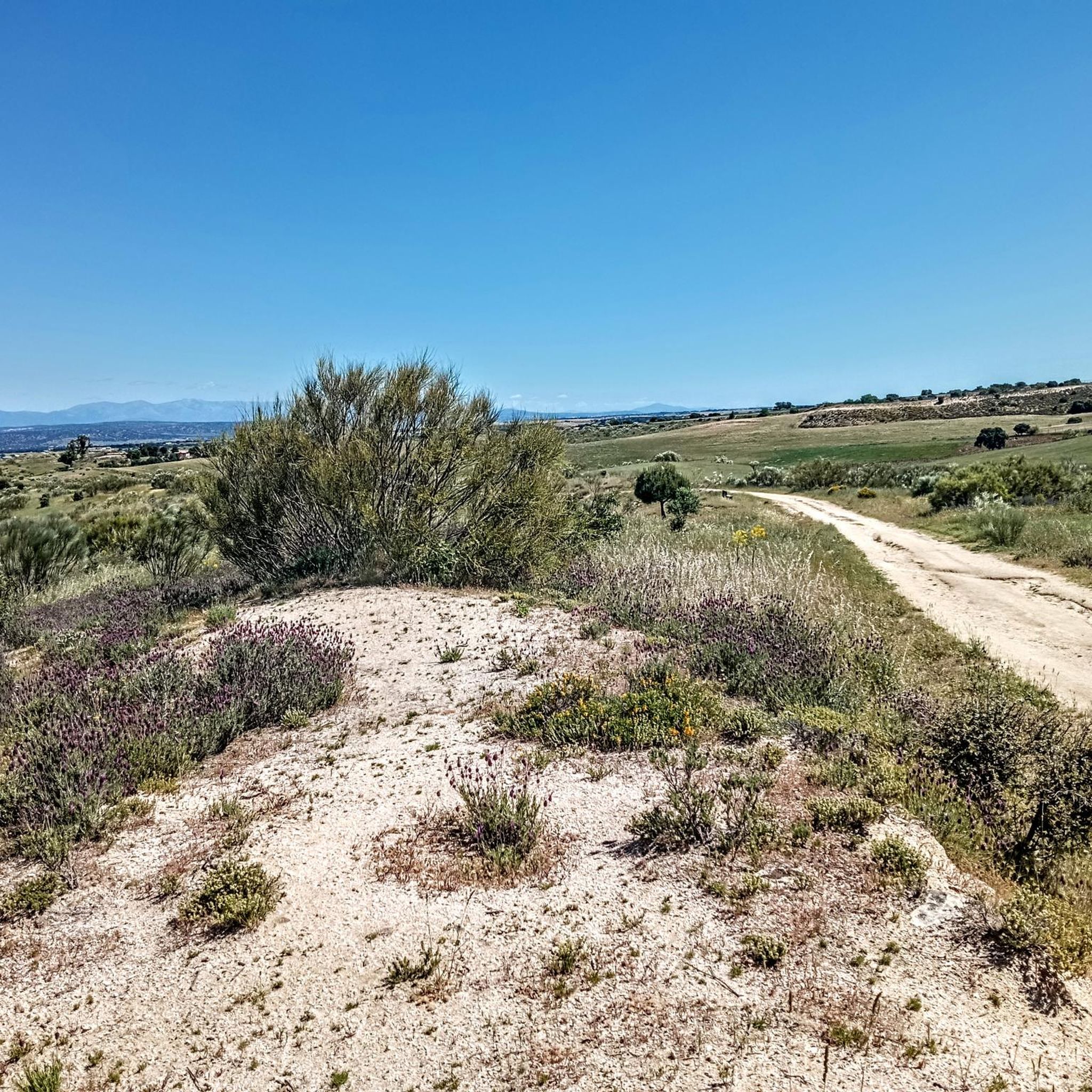
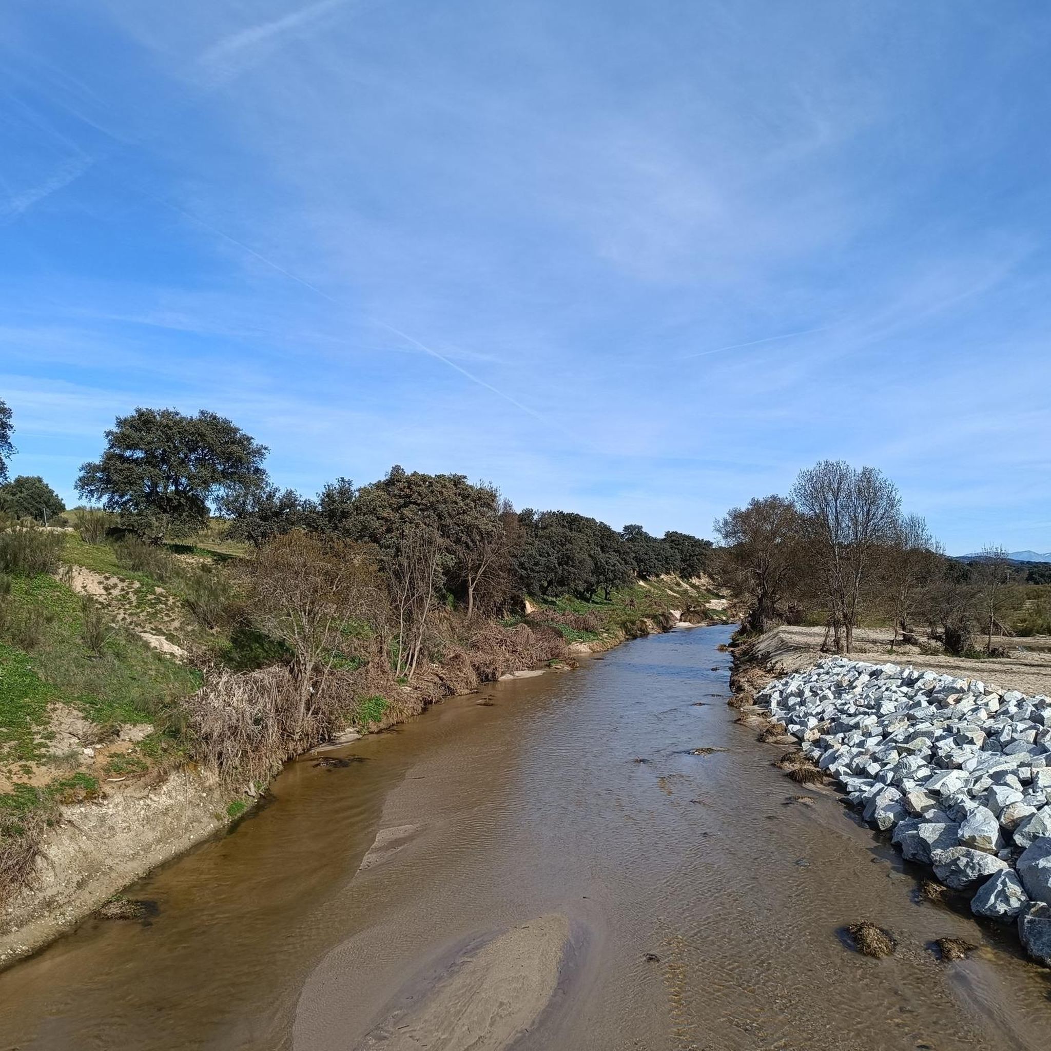
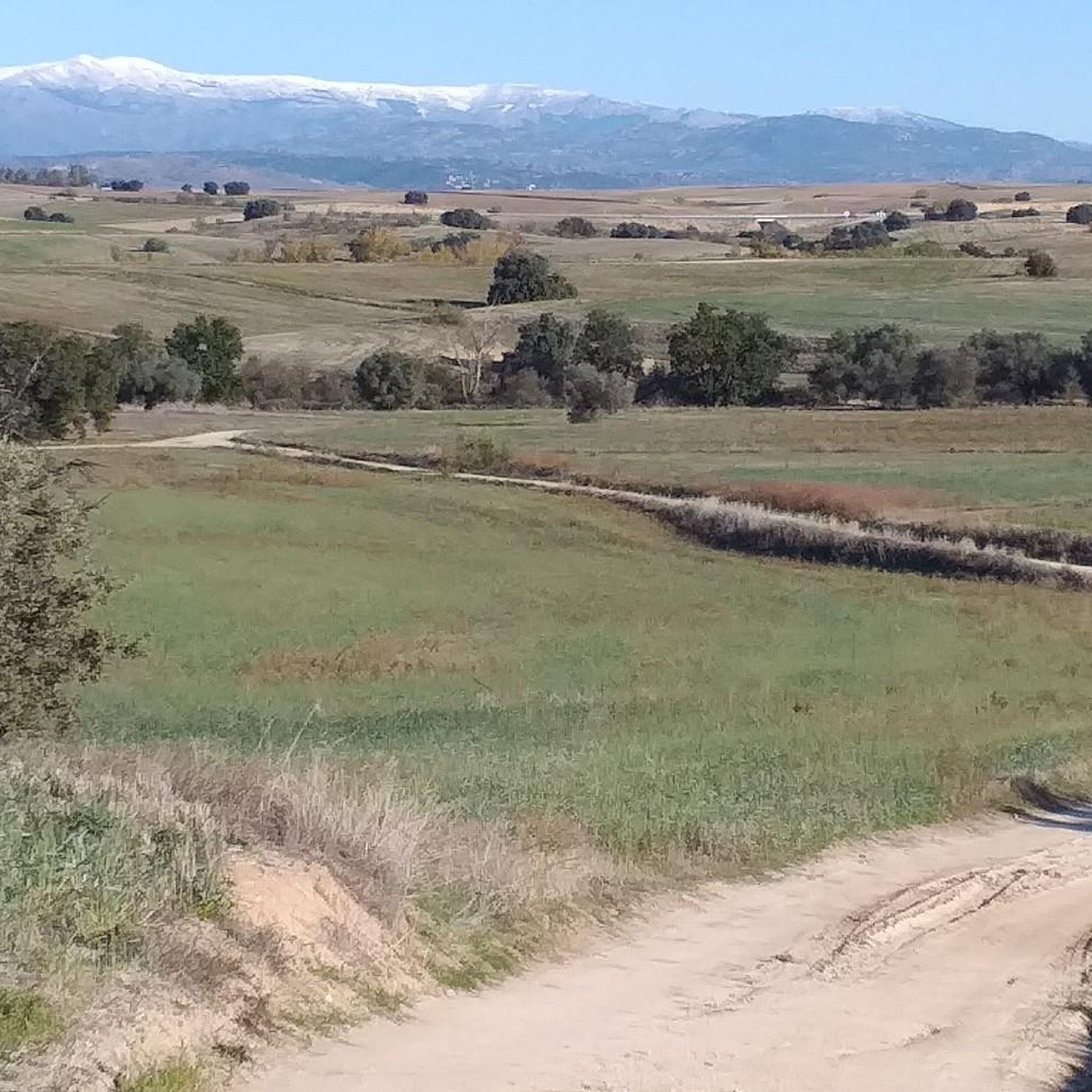
Hiking around Villanueva De Perales offers diverse natural landscapes within the Community of Madrid. The region is characterized by the Cuenca del Alberche, featuring numerous streams, rivers, and extensive oak forests. A significant dehesa ecosystem with holm oaks and ash trees contributes to the varied terrain, which includes paths suitable for different fitness levels.
Best hiking trails around Villanueva De Perales
- The most popular hiking route is For the remains of the Civil War and the lime kilns — circular…
Last updated: July 8, 2026
5.0
(12)
68
hikers
Moderate hike. Good fitness required. Easily-accessible paths. Suitable for all skill levels.
4.4
(7)
20
hikers
6.53km
01:50
130m
130m
Hike a moderate 4.1-mile loop near Cerro Alarcón, featuring the historic Puente del Pasadero and scenic reservoir views.

Sign up for free
5.0
(8)
47
hikers
10.7km
03:01
230m
230m
Moderate hike. Good fitness required. Easily-accessible paths. Suitable for all skill levels.
5.0
(2)
12
hikers
9.80km
02:39
140m
140m
Moderate hike. Good fitness required. Easily-accessible paths. Suitable for all skill levels.
4.5
(4)
13
hikers
10.8km
02:47
50m
50m
Moderate hike. Good fitness required. Easily-accessible paths. Suitable for all skill levels.
Get access to more routes and recommendations from other explorers.
Sign up for free
Already have an account?
Our route recommendations are based on thousands of hikes, rides, and runs completed by other people on komoot.
Start today with a free account
Your next adventure awaits.
Login or Signup

Tips from the Community


I provide a photo of this place, where you can see several bullet holes in one of the walls of one of the buildings. The holes are quite grouped and at the height of a normal-sized person's head. The impact wall is on the east side. This position was defended by a tabor of marksmen from Ifni and by a century of phalanx from Valladolid. Some historians say that the first shots of the Battle of Brunete probably took place in this place on July 5, 1937. This position fell on the 7th. The attackers of the Red Army came after climbing the valley located to the west, the Valdeyerno valley, and from the north along the livestock route that crosses this plateau, leading to Valdemorillo. The impacts that can be seen on the facades of the east side of both buildings, I believe, are not the product of combat, but rather of shootings on those walls, of captured national soldiers.
0
1

This bronze sculpture, which represents the image of a beautiful princess who is missing a leg, has become the symbol of the municipality. According to legend, during the hunt a young princess suffered a fall from a horse, fracturing her leg, which is why she was immobilized in this place for some time, thus giving rise to the construction of houses that later took the name of “The Despernada” in memory of the event. The statue – the work of the sculptor and resident of the municipality, Mercedes Durán – is located in the Plaza de España, between the Santiago Apóstol Church and the old Town Hall. It is customary to give a reproduction of the statue to illustrious people who visit the town.
33
0
It was known as the Hermitage of Our Lady of the Conception, then of the Ascension and then of the Miraculous, before receiving its current name. After the Civil War it was rebuilt.
33
0

This is one of the many bunkers that were on the Brunete front, in very good condition. If you go around it, you will be able to see its access, which is located at the back.
1
0
This lime kiln will perhaps be the best preserved in the area. The cylindrical shape of the base draws a lot of attention, on which a conical shape rises with its gas outlet. Because of this shape they are known as bottle ovens. This refractory ceramic kiln uses kaolin to produce refractory bricks.
0
0
Next to Alto de los Llanos are these ruins which, it is said, were the headquarters of the Republican command. Very close we can also find the geodesic vertex of the place, which is located at 746 meters of altitude.
0
1
The function of this type of chimneys is to act as pressure relief valves in hydraulic systems. In this case, it is located in the canal that carries water from the Picadas reservoir to the station that treats drinking water in Majadahonda.
1
0
Frequently Asked Questions
How many hiking trails are available around Villanueva De Perales?
Villanueva De Perales offers a wide selection of hiking opportunities, with over 80 trails documented on komoot. These routes cater to various fitness levels, including 32 easy, 48 moderate, and 3 more challenging options.
What kind of terrain and natural features can I expect on hikes in Villanueva De Perales?
The region is characterized by its diverse natural landscapes, including the lush riverine environments of the Cuenca del Alberche, extensive oak forests, and significant dehesa ecosystems with ancient holm oaks and ash trees. You'll find varied topography, from accessible paths to routes with moderate elevation gains, often alongside streams and rivers like the Guadarrama.
Are there any family-friendly hiking trails in Villanueva De Perales?
Yes, Villanueva De Perales offers accessible paths suitable for families. While specific 'easy' routes are available, many of the moderate trails can also be enjoyed by families looking for a pleasant walk through the dehesa or along the riverbanks. Consider routes that explore the natural features without significant elevation changes.
Can I bring my dog on the hiking trails in Villanueva De Perales?
Many trails in Villanueva De Perales are dog-friendly, allowing you to explore the natural beauty with your canine companion. However, it's always recommended to keep dogs on a leash, especially in areas with livestock or protected wildlife, and to respect local regulations regarding pet access.
What historical landmarks or points of interest can I see while hiking?
The area blends natural beauty with historical sites. You can encounter landmarks such as the private Aulencia Castle (also known as Castillo de Villafranca) and the Old Lime Kiln of Quijorna, which offers a glimpse into the region's industrial past. Some routes, like the For the remains of the Civil War and the lime kilns — circular from Quijorna, specifically pass by historical remnants.
Are there any circular hiking routes available?
Yes, many of the trails around Villanueva De Perales are circular, offering convenient starting and ending points. A popular example is the Cerro Alarcón Reservoir and Puente del Pasadero Loop, which provides scenic views and includes a reconstructed wooden bridge.
What do other hikers say about the trails in Villanueva De Perales?
The hiking trails in Villanueva De Perales are highly regarded by the komoot community, holding an average rating of 4.5 stars from over 130 reviews. Hikers frequently praise the lush riverine environments, the ancient dehesa landscapes, and the well-maintained paths that offer a peaceful escape into nature.
Is there public transport access to the hiking areas?
While Villanueva De Perales is accessible by road, public transport options to specific trailheads might be limited. It's advisable to check local bus schedules to the municipality itself and plan your hike from there, or consider driving to reach the starting points of many routes.
Are there any routes that feature water bodies or river views?
Absolutely. The region is defined by its waterways, including the Guadarrama River and various arroyos. Routes often follow these water features, providing lush scenery and opportunities to see aquatic life. The Cerro Alarcón Reservoir and Puente del Pasadero Loop, for instance, offers beautiful reservoir views and crosses a wooden bridge over the Guadarrama.
What is the best time of year to go hiking in Villanueva De Perales?
The diverse landscapes of Villanueva De Perales can be enjoyed throughout much of the year. Spring and autumn offer pleasant temperatures and vibrant scenery, with flowing streams and lush vegetation. Even in winter, the dehesa and oak forests provide beautiful, crisp walking conditions, though some smaller streams may dry up in the summer months.
Are there any trails that explore the dehesa ecosystem?
Yes, the dehesa ecosystem is a prominent feature of the area, rich with holm oaks, poplars, and ash trees. Many trails will lead you through this unique wooded pastureland, allowing you to experience its natural heritage and spot some of the ancient, cataloged trees. These routes offer a distinct natural experience unique to the region.
Are there any trails with historical Civil War remnants?
Yes, the area has historical significance from the Civil War. Trails like the Hunting Area Warning Sign – Bunker Remains at Peñas Pardas loop from Quijorna and the For the remains of the Civil War and the lime kilns — circular from Quijorna specifically guide you through areas featuring bunker remains and other historical sites from that period.
Most popular routes around Villanueva De Perales
Most popular attractions around Villanueva De Perales

Get inspired with the komoot mobile app


Explore more
Browse the best Hikes in other regions.
