The best walks and hikes around Valle de Arana/Harana
4.6
(302)
1,816
hikers
178
hikes
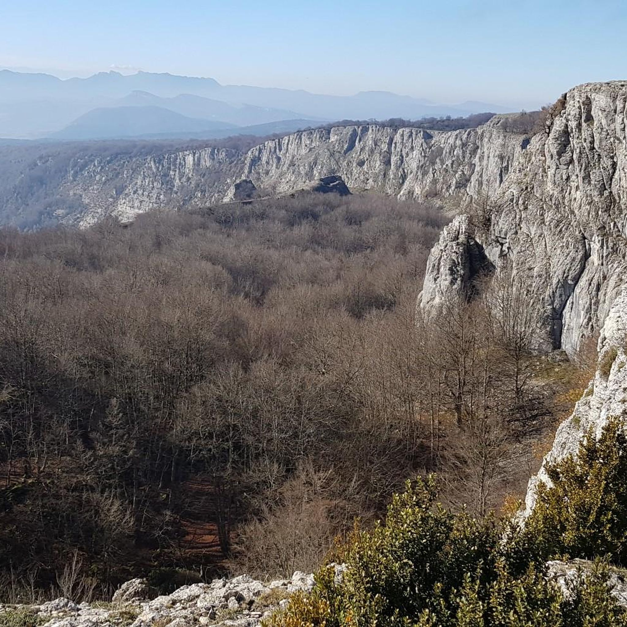
Hiking around Valle de Arana/Harana offers diverse terrain within the Montaña Alavesa region of the Basque Country. The area is characterized by two mountain ranges exceeding 1,000 meters, providing both challenging ascents and gentler paths. Hikers can explore dense beech forests, open mountain pastures, and lush valleys shaped by rivers like the Istora and Uiarra. Traditional villages such as Alda and San Vicente de Arana are integrated into the landscape, offering cultural points of interest.
Best hiking trails around Valle…
Last updated: July 7, 2026
5.0
(2)
8
hikers
6.35km
02:01
250m
250m
Moderate hike. Good fitness required. Easily-accessible paths. Suitable for all skill levels.
5.0
(2)
8
hikers
10.2km
03:06
340m
340m
Hike 6.3 miles (10.2 km) through the moderate terrain of Entzia's Special Area of Conservation, exploring peaks and unique karstic landscape

Sign up for free
2
hikers
14.7km
04:20
410m
400m
Hike a moderate 9.1-mile (14.7 km) loop through Entzia Special Conservation Area, summiting Txandi, San Cristobal, and Kapitate for panorami
5.0
(1)
13
hikers
9.55km
03:00
370m
360m
Moderate hike. Good fitness required. Easily-accessible paths. Suitable for all skill levels.
4.7
(3)
10
hikers
15.3km
05:01
690m
680m
Hard hike. Very good fitness required. Easily-accessible paths. Suitable for all skill levels.
Get access to more routes and recommendations from other explorers.
Sign up for free
Already have an account?
Our route recommendations are based on thousands of hikes, rides, and runs completed by other people on komoot.
Start today with a free account
Your next adventure awaits.
Login or Signup
Popular around Valle de Arana/Harana
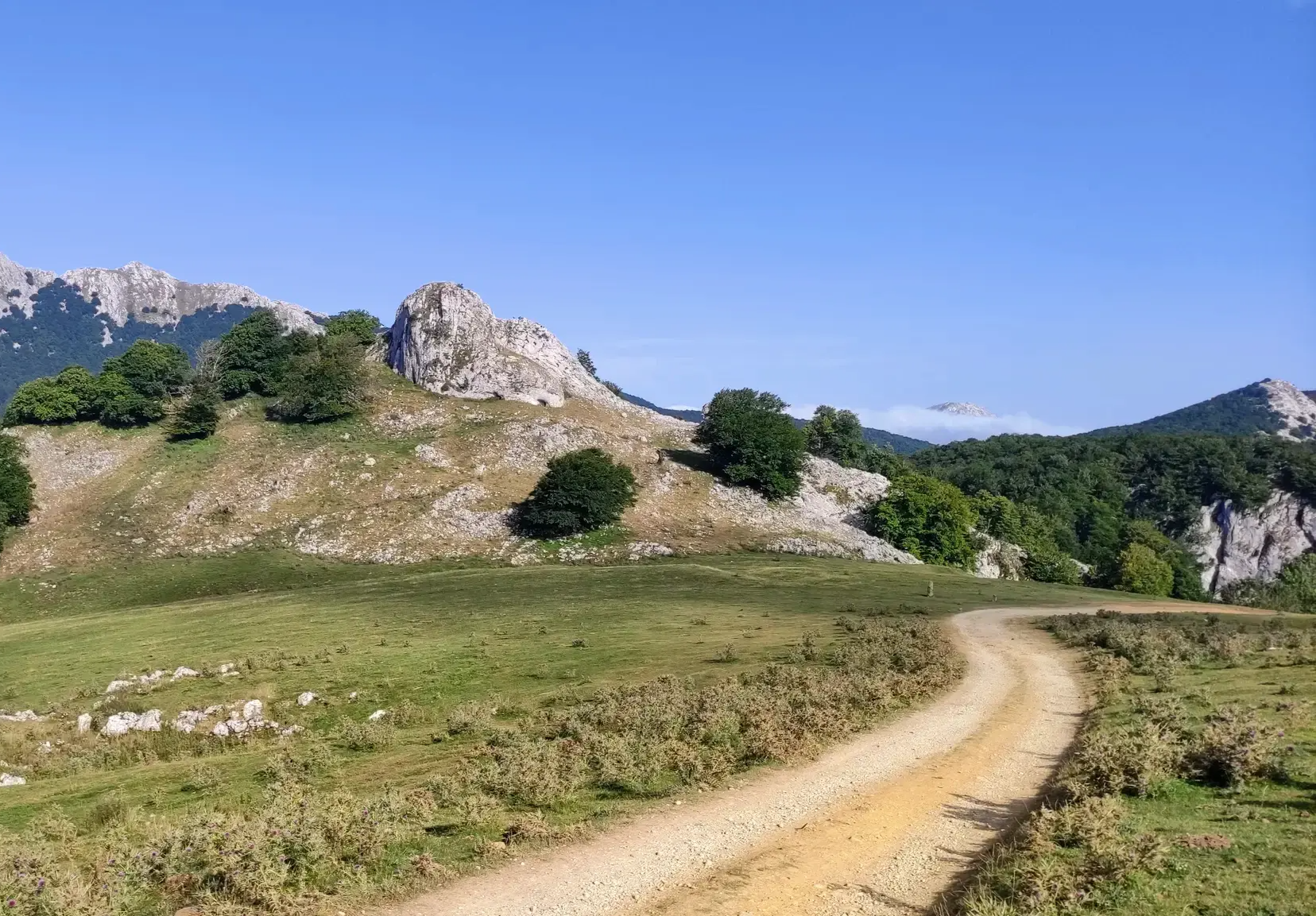
The Ignatian Way - In the footsteps of Ignatius of Loyola
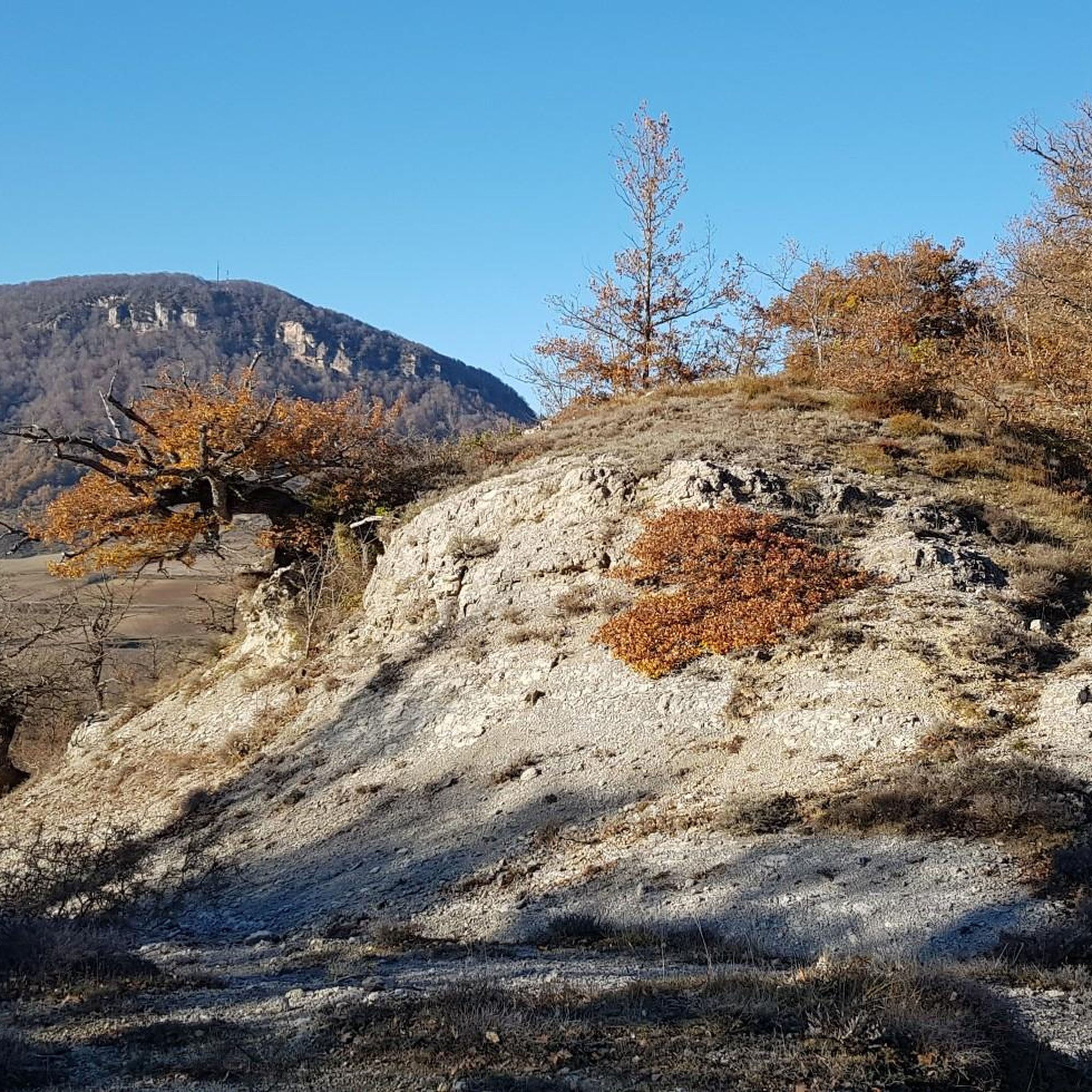
MTB Trails around Valle de Arana/Harana
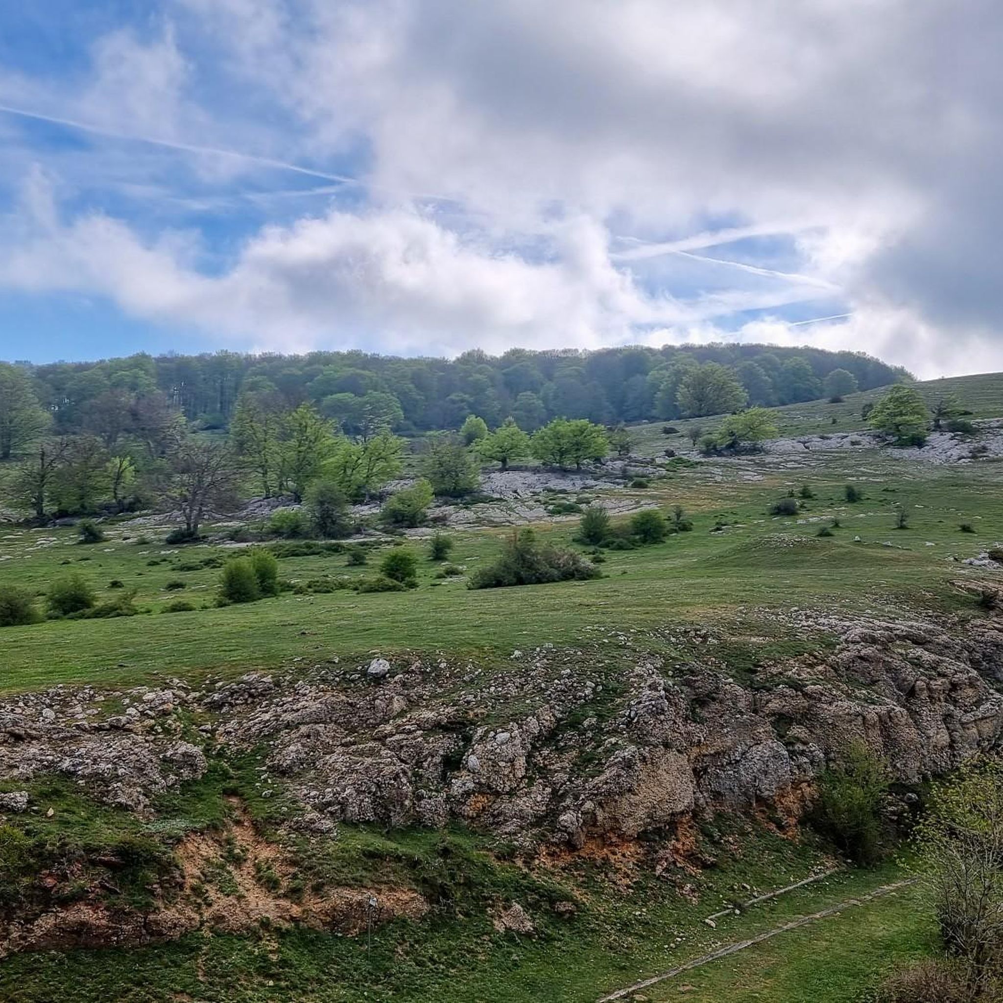
Cycling around Valle de Arana/Harana
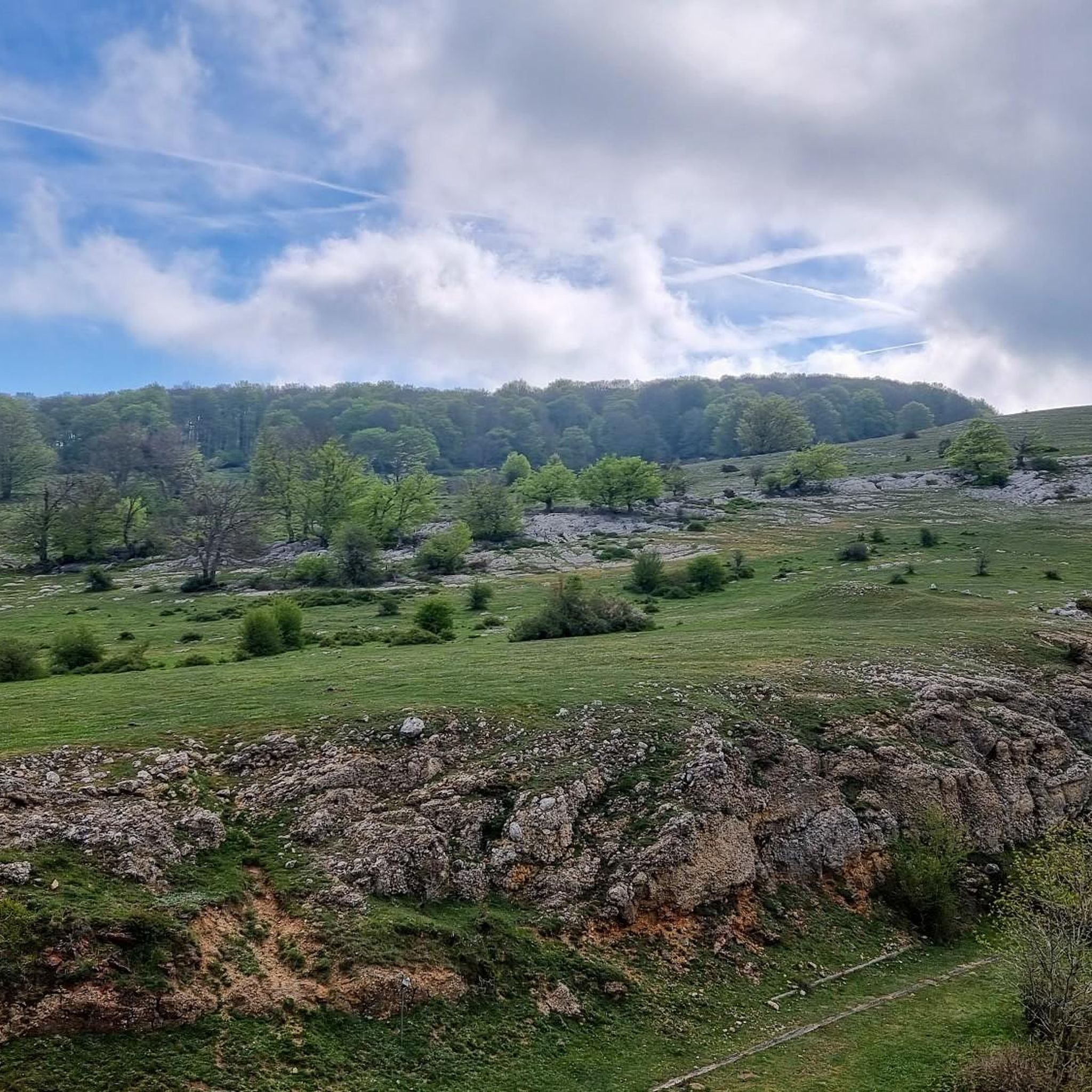
Road Cycling Routes around Valle de Arana/Harana
Running Trails around Valle de Arana/Harana

Gravel biking around Valle de Arana/Harana

Mountain Hikes around Valle de Arana/Harana
Other adventures around Valle de Arana/Harana

Tips from the Community

Small but very pretty hermitage, on the road that crosses the town.
1
0
In the middle of the climb to the Larraona pass.
1
0

I went in July 2023. This cave is completely closed. There are signs from the Basque government saying DO NOT ENTER (and explaining the consequences and the work they're doing) and plastic tape blocking the entrance. There are lots of constructions tools around too. Don't expect to get in unless you're willing to destroy the small stone wall and all the tape blocking the entrance.
0
0
Charming church in the southern part of the town of Gastiain.
1
0
I completely reaffirm what I said in my previous upload.
1
0
If you are going to do the circle from Gastiain, I recommend going up the SE, through the hanging valley, and down the SW. Otherwise you will get lots of pebbles for the descent.
1
0
Frequently Asked Questions
How many hiking trails are available in Valle de Arana/Harana?
Valle de Arana/Harana offers a comprehensive network of over 180 hiking trails. This includes 42 easy routes, 109 moderate paths, and 35 more challenging treks, ensuring options for all skill levels.
What kind of terrain can I expect on the trails in Valle de Arana/Harana?
The region features diverse terrain, from dense beech forests and open mountain pastures to lush valleys shaped by rivers like the Istora and Uiarra. You'll find paths winding through agricultural land, alongside rivers, and ascending into two mountain ranges exceeding 1,000 meters.
Are there easy hiking trails suitable for beginners or families in Valle de Arana/Harana?
Yes, Valle de Arana/Harana has over 40 easy routes perfect for beginners or families. These often include gentle village-to-village walks, such as the scenic path connecting Ullibarri-Arana to Contrasta, allowing you to experience the local culture and history.
What are some notable natural features or landmarks to look out for while hiking?
Hikers can explore a variety of natural features and landmarks. The region is known for its two mountain ranges over 1,000 meters, offering expansive views. You might also encounter archaeological elements, charming traditional villages like Alda and San Vicente de Arana, and the bucolic Santa Teodosia pass with its hermitage. For specific natural highlights, consider visiting Arnaba Hanging Valley or the Igoroin Gorge Waterfalls.
Are there any circular walks available in Valle de Arana/Harana?
Yes, the area offers several circular routes. For a moderate option, consider the Somorredondo, Txintxularri, and Perriain Loop, which covers 6.3 miles (10.2 km) through varied terrain. A more demanding circular trail, like 'Perriain / Cruz de Alda', ascends to higher altitudes parallel to the Sierra de Lokiz.
What is the best time of year to hike in Valle de Arana/Harana?
Valle de Arana/Harana offers picturesque scenery throughout the year. Spring and autumn are particularly pleasant for hiking, with mild temperatures and vibrant foliage in the beech forests. Summer provides warm weather for higher altitude trails, while winter can offer unique snowy landscapes, though some paths may require more preparation.
Are there any facilities or picnic spots along the trails?
Yes, the Santa Teodosia Recreational Area is a significant attraction, providing amenities like tables, barbecues, and a fountain. It's an ideal spot for a break or picnic during a hike, especially if your route passes through the Santa Teodosia pass.
What do other hikers enjoy most about hiking in Valle de Arana/Harana?
The area is highly rated by the komoot community, with an average score of 4.6 stars from over 270 reviews. Reviewers often praise the diverse terrain, from quiet woodlands to open mountain pastures, and the well-maintained network of trails that cater to all abilities.
Are there any historical sites or cultural points of interest on the hiking routes?
Absolutely. The region is rich in cultural heritage. Many routes pass through charming traditional villages like Alda, San Vicente de Arana, Ullibarri de Arana, and Contrasta, where you can see historical churches, old wash houses, and mills. The Cave of the Cristinos - Hermitage of San Benito – circular from Larraona trail, for instance, explores historical sites.
Are there any challenging hikes for experienced trekkers?
Yes, for experienced trekkers seeking a challenge, Valle de Arana/Harana offers 35 difficult routes. An example is the Arnaba – Otzamendi loop from 40. fazeria, a demanding 9.5 miles (15.3 km) trail with significant elevation gain, often taking over 5 hours to complete.
What are the options for longer distance hikes in the region?
For those interested in longer distances, the region is equipped with an extensive network of marked trails, including sections of the long-distance GR Camino Ignaciano. Additionally, routes like the Txandi, San Cristobal, and Kapitate Loop Trail offer a substantial 9.1 miles (14.7 km) journey through rolling hills and panoramic views.
Most popular routes around Valle de Arana/Harana
Most popular attractions around Valle de Arana/Harana

Get inspired with the komoot mobile app


Explore more
Browse the best Hikes in other regions.
