The 14 Most Amazing Peaks around Rafelbunyol
Best mountain peaks around Rafelbunyol are found in the surrounding Valencian Community, as the town itself is located in the north of Valencia province. This region offers various accessible mountain experiences and elevated points. The area is characterized by diverse landscapes, from accessible summits to significant mountain ranges. These natural features provide opportunities for hiking and exploring the region's geography.
Best mountain peaks around Rafelbunyol
- The most popular mountain peaks is Cruz del Monte Picaio Viewpoint, a viewpoint that…
Last updated: June 22, 2026
Mola de Segart
Highlight • Summit
Translated by Google •
Tip by

Alt del Pi
Highlight • Summit
Beautiful views over Valencia and the coast.
Translated by Google •
Tip by

Sign up now to discover places like this
Get recommendations on the best single tracks, peaks, & plenty of other exciting outdoor places.
Sign up for free
Cross of Picayo Summit
Highlight • Summit
To go up, you need experience and bicycle as the slopes are steep and somewhat expensive.
Translated by Google •
Tip by

Muntanya Redona
Highlight • Summit
Translated by Google •
Tip by

Cruz del Monte Picaio Viewpoint
Highlight • Viewpoint
Double-check the road you are planning to use to get in, security doesn't let everyone in.
Tip by

Sign up for free to discover even more peaks around Rafelbunyol.
Sign up for free
Already have an account?
Start today with a free account
Your next adventure awaits.
Login or Signup
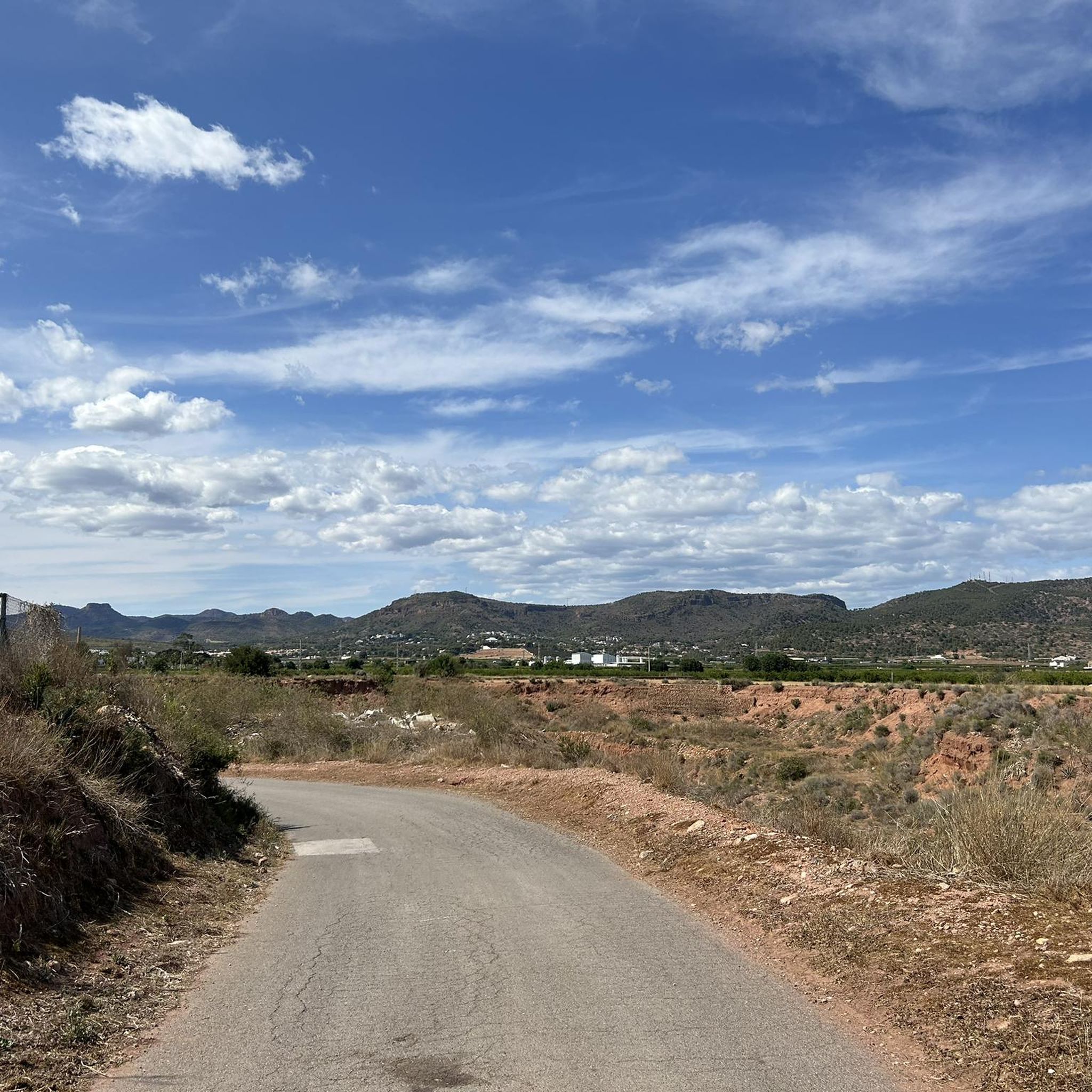
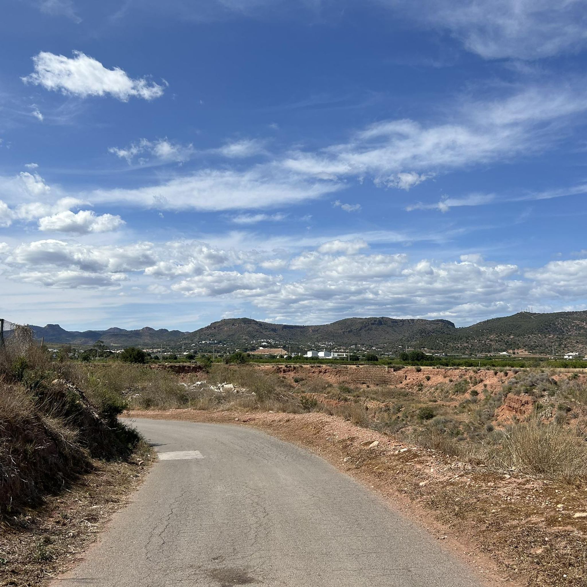
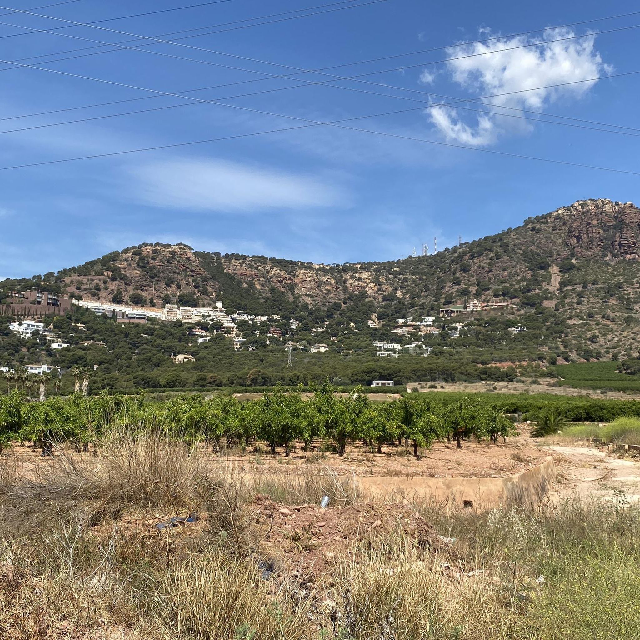

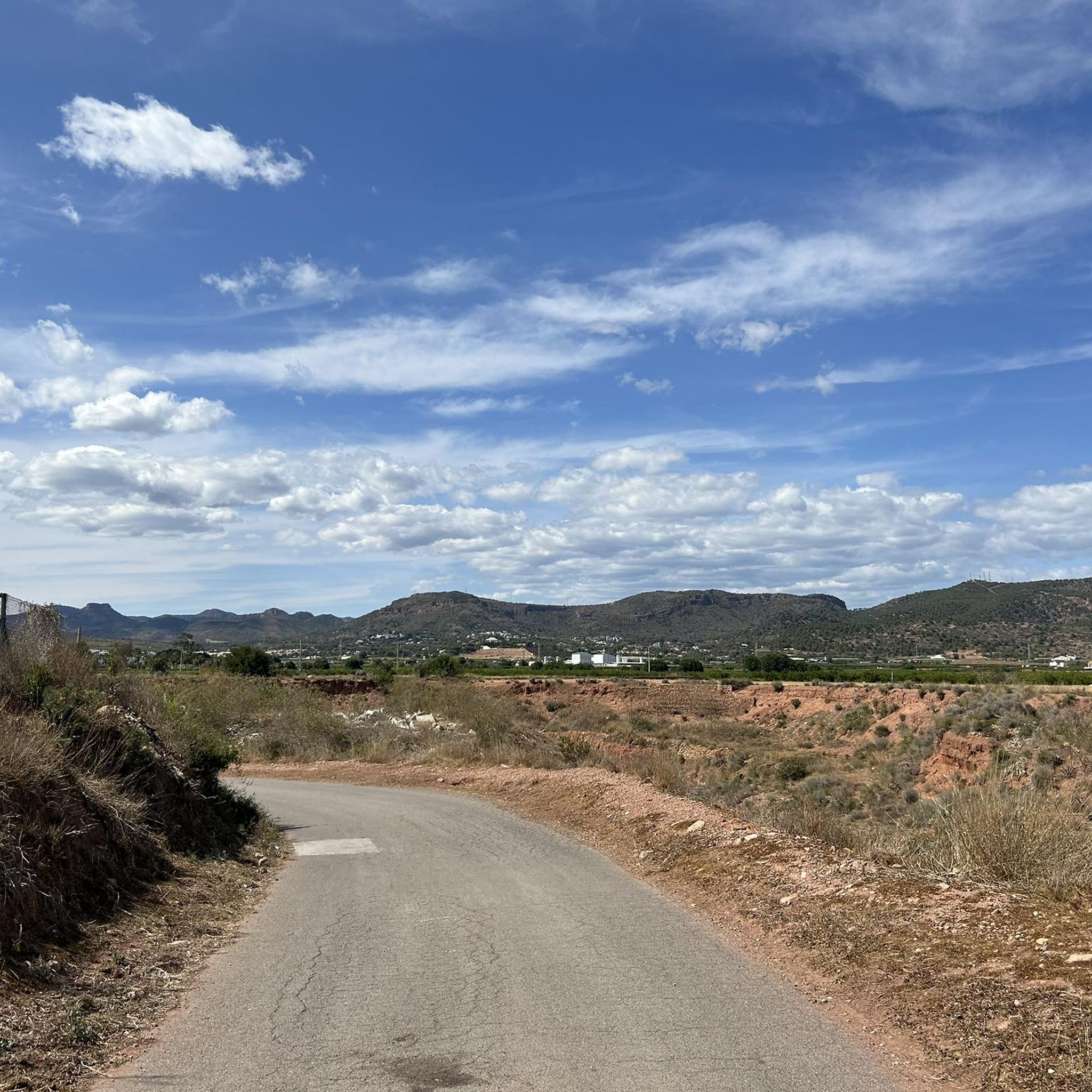

Tips from the Community

The Mirador de la Cruz del Monte Picaio viewpoint is located in the Sierra Calderona Natural Park, near Puçol (Valencia), and is one of the most spectacular natural viewpoints in the area. Altitude: 359-373 m above sea level. How to get there: Usually starting from the Los Monasterios residential area (Puçol) or from the Sanctuary of the Miraculous Virgin. Circular route of approximately 7.5 km, with a positive elevation gain of 300 m and a moderate difficulty level.
1
0

Great route - relaxed even for beginners :)
0
1

Physically demanding climb but not technically demanding since it is paved. The views will more than reward the effort of getting here!
1
0

At the Tender hill appears the Camí de la Mola dirt track that goes up to the left from Segart and continues to the right surrounding the mountain. The route continues straight along a path that begins on the slope of the forest track and ascends directly up the side of the mountain to the summit of Mola de Segart (565 m). The geodesic vertex is on the eastern summit, on the western summit there is a stone marker and both have extraordinary views. The descent continues along a fairly vertical channel between the two summits. The first ten meters are aerial and dangerous, you have to get the steps right, then continue down the side of the mountain without complications, the path is very clear and frequented. The trail ends at the Mola hill and the route continues along the forest track of the Camí de Segart a Sant Espirit.
2
0
The last 200 meters of the path can be somewhat difficult, with an unmaintained path, loose stones and unmarked steps. It is not necessary that you reach the top, the views do not change and are already very beautiful from several meters below where the path is better maintained
2
0
Do not hesitate to get here, it is worth doing because you will have the best views towards the coast and beyond. Up to the antennas, the section is mostly concreted and with a demanding sector of slope, but it can be navigated without problems. The path from the antennas to the Cross is quite broken with many stones but it is a good technical challenge, especially the last 20 meters or a little more that is very steep.
1
0

Cyclists go up the road to Garbí. If you go on foot or running, you can do it on the west slope, in the shade of the trees, or along the firebreak on the south face (which allows you to train unevenly).
1
0
End of the access road to L'Alt del Pi. To the east, good views of La Mola de Segart; to the west (this photo), views from all the peaks of the heart of La Calderona.
1
0
Frequently Asked Questions
What are some notable mountain peaks accessible from Rafelbunyol?
While Rafelbunyol itself is not mountainous, the surrounding Valencian Community offers several accessible peaks. Close by, you can find Mola de Segart, known for its extraordinary views. In the wider region, significant peaks include Monte Picayo, the emblematic Penyagolosa, and Mount Calderón, the highest peak in the Valencian Community.
Which mountain peaks offer the best panoramic views around Rafelbunyol?
For impressive vistas, consider visiting Cruz del Monte Picaio Viewpoint, which is highly recommended for scenic rides. Cross of Picayo Summit also provides excellent views towards the coast. Additionally, Alt del Pi offers wonderful views of the entire Sierra Calderona.
Are there any challenging mountain climbs near Rafelbunyol?
Yes, for those seeking a challenge, the final meters to the Cross of Picayo Summit offer a good technical challenge, especially due to its steepness. The ascent of Mola de Segart also includes a 'fairly vertical channel' during the descent that can be challenging initially.
What is the highest mountain peak in the wider Valencian Community?
The highest peak in the entire Valencian Community is Mount Calderón, standing at 1,838 meters. It is located in the Rincón de Ademuz and is known for its easily accessible summit and spectacular views, including the Barranco de la Hoz.
Are there family-friendly mountain walks around Rafelbunyol?
Yes, the Cruz del Monte Picaio Viewpoint is categorized as family-friendly and offers impressive views. While some climbs like Mola de Segart can be challenging for very young children, the views from the top are spectacular and the route is generally considered beautiful.
What kind of hiking trails can I find in the Sierra Calderona Natural Park?
The Sierra Calderona Natural Park, visible from nearby areas, is known for its diverse landscapes and numerous hiking trails suitable for various fitness levels. You can find everything from accessible paths to more challenging routes within its beautiful natural environment.
What outdoor activities can I do near the mountain peaks around Rafelbunyol?
Beyond hiking, the region offers a variety of outdoor activities. You can explore gravel biking routes like the 'Morería Pass – Llentiscle Spring loop' or 'Cartuja de Porta Coeli – Porta Coeli Charterhouse loop' from Bétera. For cycling, there are routes such as 'Port Saplaya – Hermitage of the Little Fish loop' from El Puig. Mountain biking enthusiasts can enjoy trails like the 'Pic del Águila Trail' or 'Ascent to La Mola (Back Route) loop' from Rafelbunyol. For more details, check out the Gravel biking around Rafelbunyol, Cycling around Rafelbunyol, and MTB Trails around Rafelbunyol guides.
Are there any historically significant sites associated with the mountains near Rafelbunyol?
Yes, the Sierra Calderona Natural Park features the 11th-century Arab fortress of Castell de Serra, which offers a grandiose view and was part of Valencia's northern defense system. Further afield, at the base of Penyagolosa, you'll find the Sanctuary of Sant Joan de Penyagolosa, an important pilgrimage destination.
What natural features can I expect to see when visiting these mountain areas?
The mountain areas around Rafelbunyol boast diverse natural features. You'll encounter striking limestone landscapes, especially around Penyagolosa, and preserved natural environments rich in flora and fauna, such as in the Caroche Massif. Many peaks offer expansive views of the Gulf of Valencia, the coast, and the surrounding mountain ranges like the Sierra Calderona.
What do visitors enjoy most about the mountain peaks around Rafelbunyol?
Visitors consistently praise the spectacular and impressive views from various summits and viewpoints, such as Cruz del Monte Picaio Viewpoint and Cross of Picayo Summit. The challenging yet rewarding climbs, like the final meters to the Cross of Picayo, are also a highlight for many. The sense of accomplishment and the beautiful natural surroundings are frequently mentioned.
Is there a mountain peak that is considered the most emblematic in the Valencian Community?
Yes, Penyagolosa (1,813 m) is widely considered the most emblematic mountain in the Valencian Community. Located in the Alcalatén area, it is known for its striking limestone landscapes and often features snow-capped peaks in winter.
Can I find trails that are part of long-distance routes near Rafelbunyol?
Yes, trails on Monte Picayo, situated near Puzol, often coincide with sections of the GR-10, which is a long-distance European trail. This offers opportunities for longer hikes and connecting with broader trail networks.
Most popular routes around Rafelbunyol
Most popular attractions around Rafelbunyol

Get inspired with the komoot mobile app


Explore more
See even more amazing summits around Rafelbunyol with these guides:
