The best walks and hikes around Maello
4.0
(2)
5
hikers
5
hikes
Hiking around Maello offers diverse landscapes characterized by the Adaja River, which carves through granite formations and fertile pastures. The region is situated between the Sierras de Ojos-Albos and the Sierra de Malagón, providing varied terrain. Expansive holm oak groves are also a prominent feature, contributing to the area's natural environment.
Best hiking trails around Maello
- The most popular hiking route is La Atalaya y Cueva Mingubela — circular desde Ojos-Albos, a 7.3 miles (11.7 km) trail that takes…
Last updated: July 9, 2026
4.0
(2)
2
hikers
11.7km
03:33
420m
410m
Moderate hike. Good fitness required. Easily-accessible paths. Suitable for all skill levels.
5.29km
01:32
130m
130m
Easy hike. Great for any fitness level. Easily-accessible paths. Suitable for all skill levels.

Sign up for free
1
hikers
5.76km
01:36
110m
110m
Explore the easy 3.6-mile Route of the Mills from Mingorría, a hike along the Adaja River past historic flour mills and granite formations.
20.9km
06:31
810m
810m
Hard hike. Very good fitness required. Easily-accessible paths. Suitable for all skill levels.
15.3km
04:34
460m
450m
Hike the 9.5-mile Cueva Mingubela from Ojos-Albos circular by the Río Voltoya, a moderate route with ancient rock art and river views.
Our route recommendations are based on thousands of hikes, rides, and runs completed by other people on komoot.
Start today with a free account
Your next adventure awaits.
Login or Signup
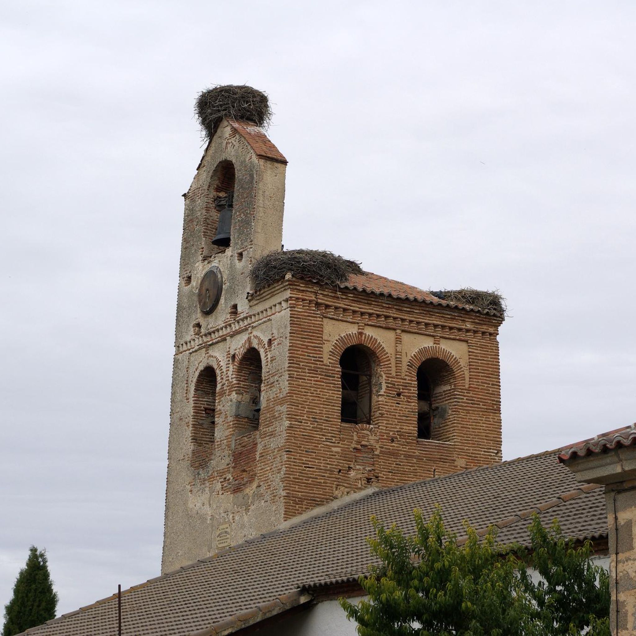

Tips from the Community

The Castro de las Cogotas reservoir dam, located in the province of Ávila, offers spectacular views that combine engineering, nature, and archaeology.
1
0
The Castro de Las Cogotas, located in the municipality of Cardeñosa (Ávila), is one of the most emblematic Iron Age archaeological sites on the Iberian Peninsula, especially linked to the Vetton people. It is situated on a hill next to the Adaja River, surrounded by holm oak groves, pastures, and fertile land. This location offered defensive advantages and abundant natural resources. The fort is open to the public and has an Interpretation Center that explains its history and characteristics. Periodic archaeological conferences are also held on the site.
2
0
Mingubela Cave, also known as Peña Mingubela, is a fascinating rock shelter located near the small village of Ojos Albos in Ávila, Spain. This site is known for its ancient cave paintings, which depict various figures, including warriors, some of whom are shown holding shields or in prayer positions. The cave is divided by a stone column, which adds to its unique structure. If you are interested in visiting, it is important to note that the cave is only accessible on foot and the path can be quite steep, so it is advisable to bring a flashlight and seek precise directions from locals. Additionally, there are several hiking trails in the area, such as the circular trail from Ojos Albos that includes La Atalaya and Mingubela Cave.
5
0
The place name Mingorría retains Basque reminiscences, deriving from “mendi gorria,” which means “red mountain” or “red land.” This is observed in other cases in the province of Ávila, such as the town of Mendigorría in Navarra. In historical documents, Mingorría already appears as Ningorría, and it is believed that there was an assimilation due to the change of the liquid initials “M” to “N.” Another legend attributes the name of Mingorría to the notice that José Chinchurreta gave to monarch Felipe II, justifying the delay in the supply of granite during the works of the Monastery of El Escorial.
4
0

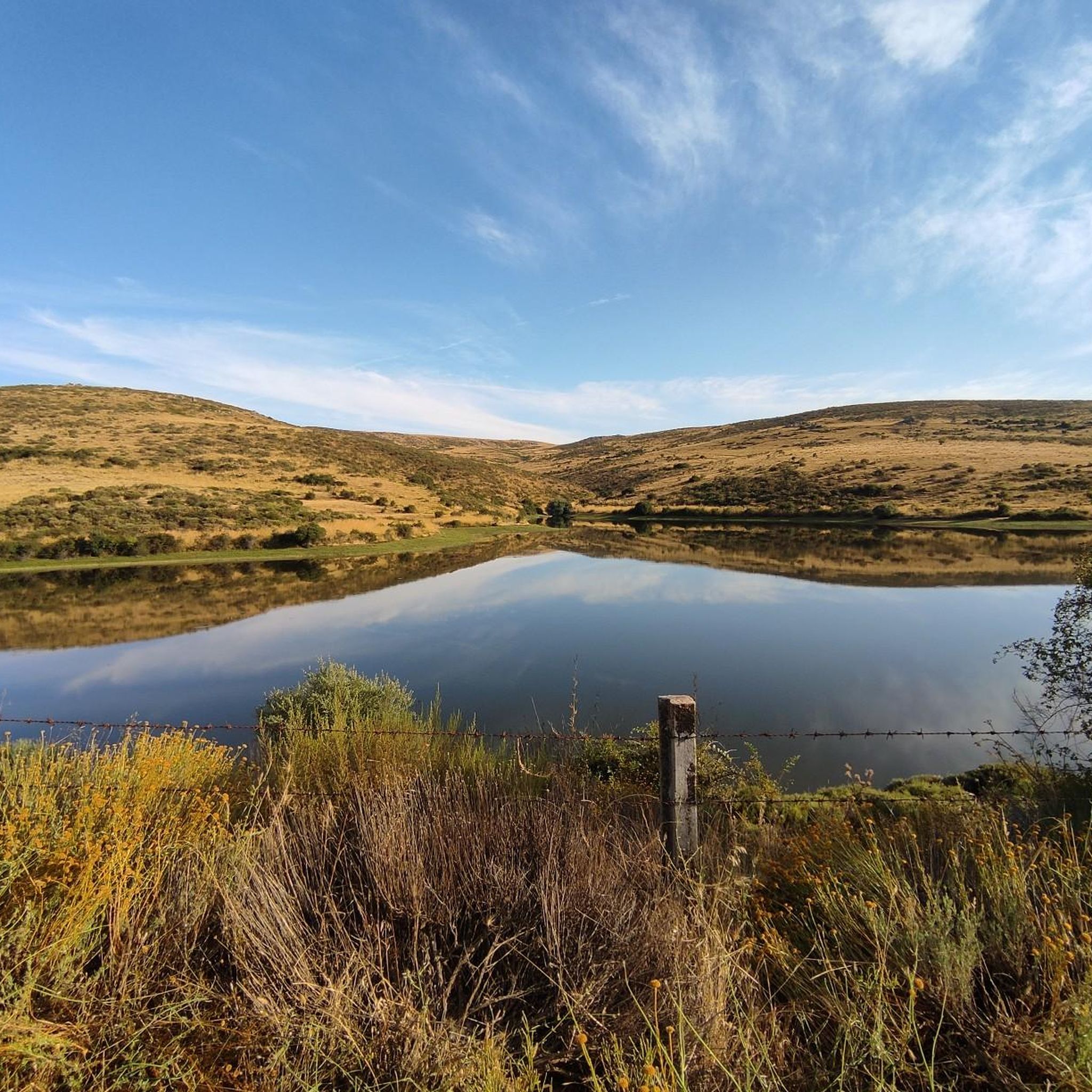
Going up from the Serones reservoir, do not forget to look back and see the fertile and green meadows of the Voltoya River valley.
2
0
The Castro de las Cogotas reservoir dam, which retains the waters of the Adaja River, is an impressive structure. You can walk down to the river at the foot of the dam for a spectacular view of this powerful dam.
0
1

On the other side of the Arroyo del Corral is this well-known cave where cave paintings are found. Just above it, we can find Peña de la Mora.
0
1
Las Cogotas is an ancient walled enclosure that is currently an important archaeological site located north of the city of Ávila and right next to the Embalse del Castro de Las Cogotas.
0
1
Frequently Asked Questions
What types of landscapes can I expect to see while hiking around Maello?
Hiking around Maello offers a diverse range of landscapes. You'll encounter the Adaja River, which carves through granite formations and fertile pastures, especially along routes like the Route of the Mills from Mingorría. The region is also characterized by expansive holm oak groves and open pastures, particularly around historical sites such as Castro de Las Cogotas. Additionally, you'll find scenic views between the Sierras de Ojos-Albos and the Sierra de Malagón.
Are there any easy hiking trails suitable for beginners or families in Maello?
Yes, Maello offers several easy trails perfect for beginners or families. A great option is La Presa del Embalse to Castro de las Cogotas — circular, an easy 5.3 km path that provides a gentle walk through local scenery, including the historic Iron Age site. Another accessible choice is the Route of the Mills from Mingorría, an easy 5.8 km trail following the Adaja River.
What are some notable historical or natural landmarks to explore on a hike in Maello?
Maello is rich in both historical and natural landmarks. You can visit the significant Iron Age archaeological site of Castro de Las Cogotas, which has an Interpretation Center. For natural wonders, explore Cueva Mingubela, known for its ancient cave paintings and unique rock formations, though the path to it can be steep. The peaceful Hermitage of the Virgin of Cubillo also offers a picturesque spot for a break.
Are there any circular hiking routes available in the Maello area?
Yes, Maello features several circular hiking routes. For a moderate challenge, consider La Atalaya y Cueva Mingubela — circular desde Ojos-Albos, which is 11.7 km long. An easier circular option suitable for all fitness levels is La Presa del Embalse to Castro de las Cogotas — circular, covering 5.3 km. There's also the more challenging The Embalse de Serones from Ojos-Albos — circular by the río Voltoya for experienced hikers.
What is the difficulty level of hiking trails in Maello?
Hiking trails in Maello cater to various fitness levels. You'll find a good selection of easy routes, such as the 5.3 km La Presa del Embalse to Castro de las Cogotas — circular. There are also moderate trails like La Atalaya y Cueva Mingubela — circular desde Ojos-Albos, which requires good fitness. For experienced hikers seeking a challenge, the region offers difficult routes like The Embalse de Serones from Ojos-Albos — circular by the río Voltoya.
Are there any trails that follow rivers or feature water elements?
Yes, the Adaja River is a prominent feature in the Maello landscape, and some trails follow its course. The Route of the Mills from Mingorría is an excellent example, leading hikers past historic flour mills and striking granite formations along the river. The region's fertile land and pastures are also influenced by this river system.
What do other hikers say about the trails in Maello?
The hiking trails in Maello are well-regarded by the komoot community, with an average rating of 4.0 stars. Hikers often praise the diverse terrain, from river valleys and granite formations to holm oak groves, and appreciate the options available for various ability levels.
How many hiking trails are there to explore in Maello?
There are at least 5 distinct hiking trails available for exploration around Maello, offering a variety of distances and difficulty levels to suit different preferences and fitness levels.
Are there any longer, more challenging hikes for experienced trekkers?
For experienced trekkers seeking a longer and more challenging adventure, Maello offers routes like The Embalse de Serones from Ojos-Albos — circular by the río Voltoya. This difficult 20.8 km trail involves significant elevation changes and takes approximately 6 hours and 31 minutes to complete. Another moderate, longer option is the Sierra de Ojos-Albos Trail, at 15.3 km.
What kind of natural features define the Maello hiking experience?
The Maello hiking experience is defined by its rich natural features. Key elements include the Adaja River with its granite formations, extensive holm oak groves, and open pastures. The region is also situated between the Sierras de Ojos-Albos and the Sierra de Malagón, providing varied mountainous terrain and scenic vistas. Unique geological formations like Cueva Mingubela, with its ancient cave paintings, add to the natural appeal.
Can I find trails that offer views of mountain ranges?
Yes, the Maello region is situated between the Sierras de Ojos-Albos and the Sierra de Malagón, providing opportunities for scenic views of these mountain ranges. The Sierra de Ojos-Albos Trail, for instance, offers direct engagement with this mountainous landscape.
Most popular attractions around Maello

Get inspired with the komoot mobile app


Explore more
Browse the best Hikes in other regions.
