The best walks and hikes around Quintana Y Congosto
3.0
(1)
9
hikers
19
hikes
Hiking around Quintana Y Congosto offers diverse landscapes within the province of León, Castilla y León. The region features a mix of agricultural lands, holm oak groves, pine forests, and scrubland. Trails often traverse ancient Roman roads and follow river valleys, providing varied terrain for outdoor activities. The area's topography includes gentle elevations and open spaces, suitable for different hiking preferences.
Best hiking trails around Quintana Y Congosto
- The most popular hiking route is Vía de la Plata and Bazán…
Last updated: June 28, 2026
3.0
(1)
2
hikers
13.6km
03:26
30m
30m
Hike the Vía de la Plata and Bazán Castle Loop, a moderate 8.4-mile route combining ancient Roman roads with a medieval castle near La Bañez
10.1km
02:34
20m
20m
Moderate hike. Good fitness required. Easily-accessible paths. Suitable for all skill levels.

Sign up for free
Hard hike. Very good fitness required. Easily-accessible paths. Suitable for all skill levels.
1
hikers
Moderate hike. Good fitness required. Easily-accessible paths. Suitable for all skill levels.
15.9km
04:13
160m
160m
Moderate hike. Good fitness required. Easily-accessible paths. Suitable for all skill levels.
Get access to more routes and recommendations from other explorers.
Sign up for free
Already have an account?
Our route recommendations are based on thousands of hikes, rides, and runs completed by other people on komoot.
Start today with a free account
Your next adventure awaits.
Login or Signup
Tips from the Community

The Castle is from Castrocontrigo, a private property, property of the Neighborhood Council. Nogarejas is the forestry term. By the way, recently rehabilitated.
1
0

Santa Elena de Jamuz is a small rural town along the river. There are many walking trails along the river and irrigation system. The Plaza de Constitution is a good place to park and start your adventure.
2
0
Remains of a medieval castle in Villanueva de Jamuz. The cylindrical towers are an amazing structure.
3
0
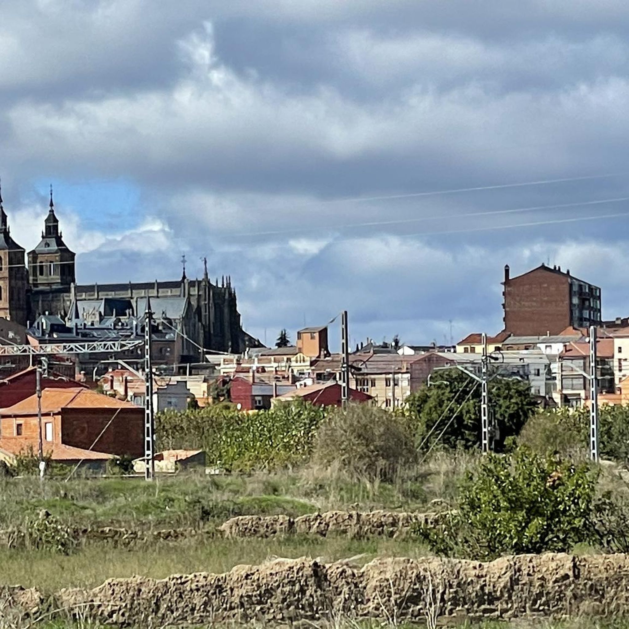
An incredible natural park next to the Órbigo river, surrounded by a lush green forest on the outskirts of the town of La Bañeza, where the Tuerto river meets the Órbigo.
2
0
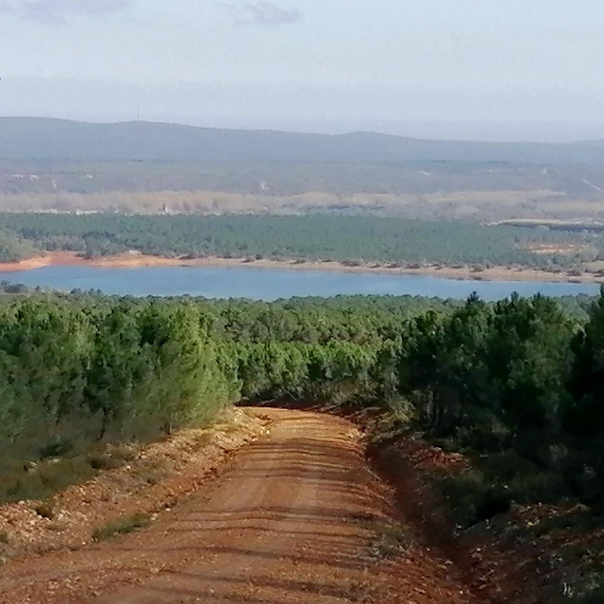
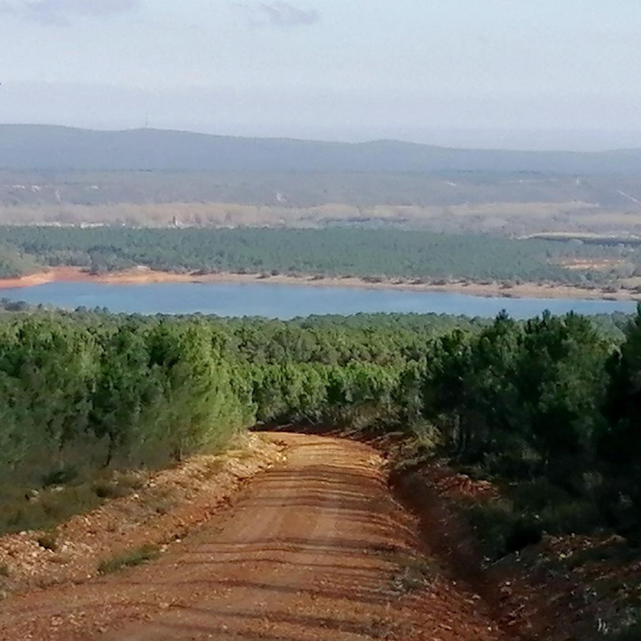
Large forest roads surrounded by leafy pine trees that grow around the Valtabuyo reservoir. Ideal trails for your outdoor adventures.
1
0
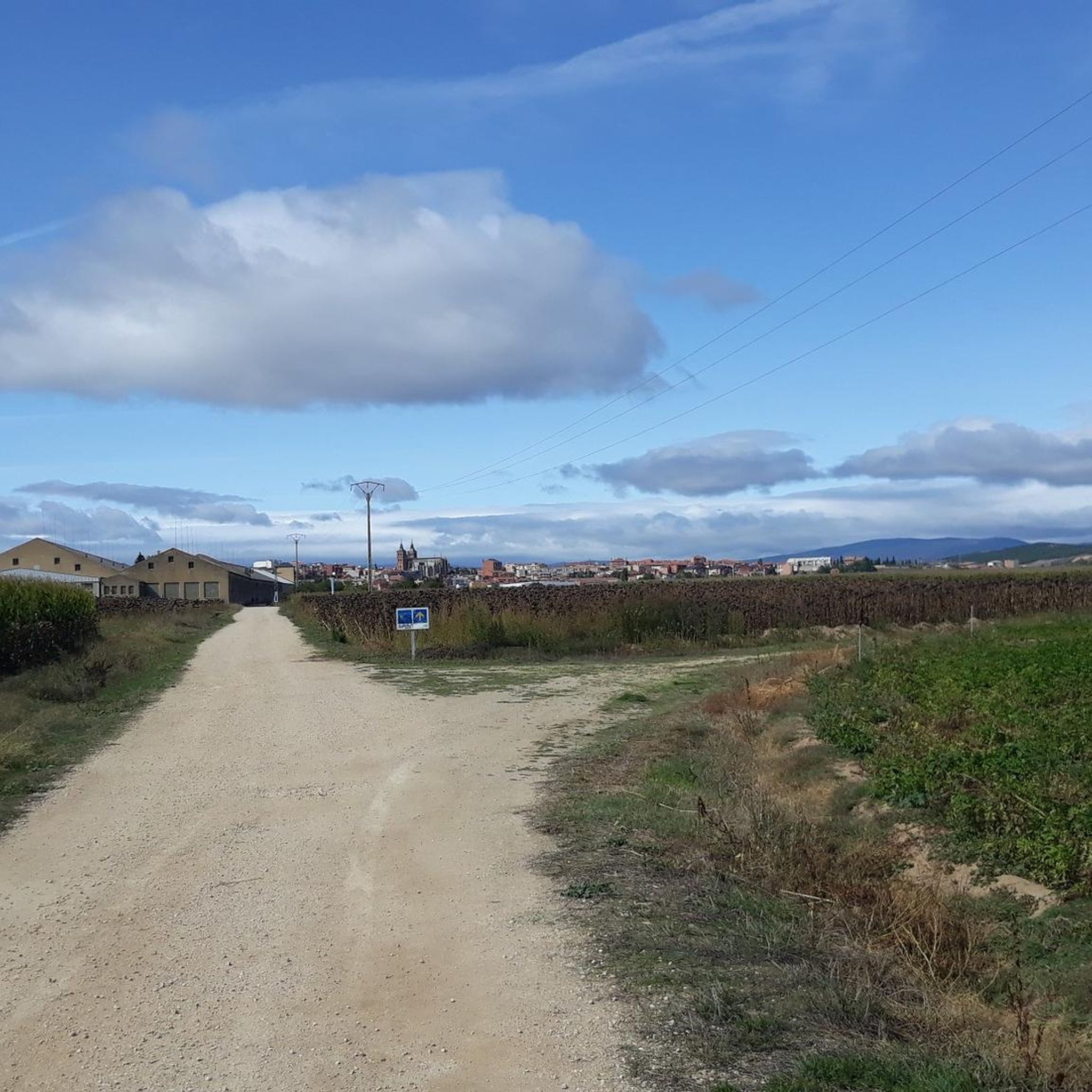
The church's stone bell tower can be seen from a distance as you approach the small town of Tabuyo del Monte, a landmark on your journey.
1
0
Ascending the route towards the medieval castle of Nogarejas watching over the Ería river valley. There isn't much left but the watchtower.
2
0
A small hermitage on the outskirts of the town of Nogarejas along the Ería river valley. The hermitage is surrounded by views of the mountains of Nogarejas.
1
0
Frequently Asked Questions
What kind of terrain can I expect on hikes around Quintana Y Congosto?
The hiking trails in Quintana Y Congosto offer a diverse landscape, featuring a mix of agricultural lands, holm oak groves, pine forests, and scrubland. Many routes traverse ancient Roman roads and follow river valleys, providing varied terrain with gentle elevations and open spaces.
How many hiking trails are available in Quintana Y Congosto?
There are over 15 hiking routes available around Quintana Y Congosto, catering to various preferences and skill levels. You'll find options ranging from easy strolls to more challenging treks.
What are the difficulty levels of the hiking trails in this region?
The trails in Quintana Y Congosto offer a range of difficulty levels. You can find 9 easy routes, 5 moderate routes, and 2 difficult routes, ensuring there's something for every hiker, from beginners to experienced trekkers.
Are there any circular hiking routes in Quintana Y Congosto?
Yes, several circular routes are available. For example, the Vía de la Plata and Bazán Castle Loop is a moderate 8.4-mile (13.6 km) trail that combines historical Roman roads with castle views. Another option is La Bañeza — circular by the río Órbigo, offering scenic river views.
What historical landmarks or natural features can I see while hiking?
The region is rich in historical and natural attractions. You can explore the ruins of a castle near La Bañeza, or discover the Gothic Arch of the Palace of Castrocalbón. The Eria River valley also holds an archaeological site with hermitage and palace ruins. For natural beauty, trails often follow river valleys like the Órbigo and Jamúz rivers.
What kind of wildlife might I encounter on the trails?
The natural environment around Quintana Y Congosto supports diverse wildlife. You might spot mammals such as the Iberian hare, roe deer, wildcat, wolf, and European otter. The area is also home to various insect species, reptiles like the Montpellier snake and ocellated lizard, and several types of fish in the local rivers.
What do other hikers say about the trails in Quintana Y Congosto?
The routes in Quintana Y Congosto are highly rated by the komoot community, with an average score of 3.0 stars. Hikers often appreciate the varied terrain, from agricultural lands to holm oak groves and pine forests, and the blend of natural beauty with historical elements.
Are there any longer, more challenging hikes available?
Yes, for those seeking a longer and more challenging experience, consider the Nogarejas from Pinilla de la Valdería — circular by the Castillo de Nogarejas. This difficult 14.4-mile (23.2 km) trail leads through varied terrain and past historical features, typically taking over 6 hours to complete.
What is the best time of year to go hiking in Quintana Y Congosto?
While specific seasonal recommendations are not detailed, the diverse landscapes of Quintana Y Congosto, with its agricultural lands, forests, and river valleys, suggest that spring and autumn would offer pleasant temperatures and vibrant scenery for hiking. Summer can also be suitable, especially for early morning or late afternoon hikes.
Are there any trails that pass by water features like rivers or reservoirs?
Yes, several trails incorporate water features. The La Bañeza — circular by the río Órbigo offers scenic views along the Órbigo River. Another option is Tabuyo del Monte — circular by the Embalse de Valtabuyo, which takes you around a reservoir.
What types of trees and plants are common in the area?
The predominant vegetation in Quintana Y Congosto includes holm oak groves, pine forests (specifically *Pinus pinaster*), and scrubland, alongside agricultural and artificial meadows. This variety contributes to the diverse natural beauty you'll encounter on the trails.
Most popular routes around Quintana Y Congosto
Most popular attractions around Quintana Y Congosto

Get inspired with the komoot mobile app


Explore more
Browse the best Hikes in other regions.
