The best walks and hikes around Loranca De Tajuña
4.8
(9)
43
hikers
5
hikes
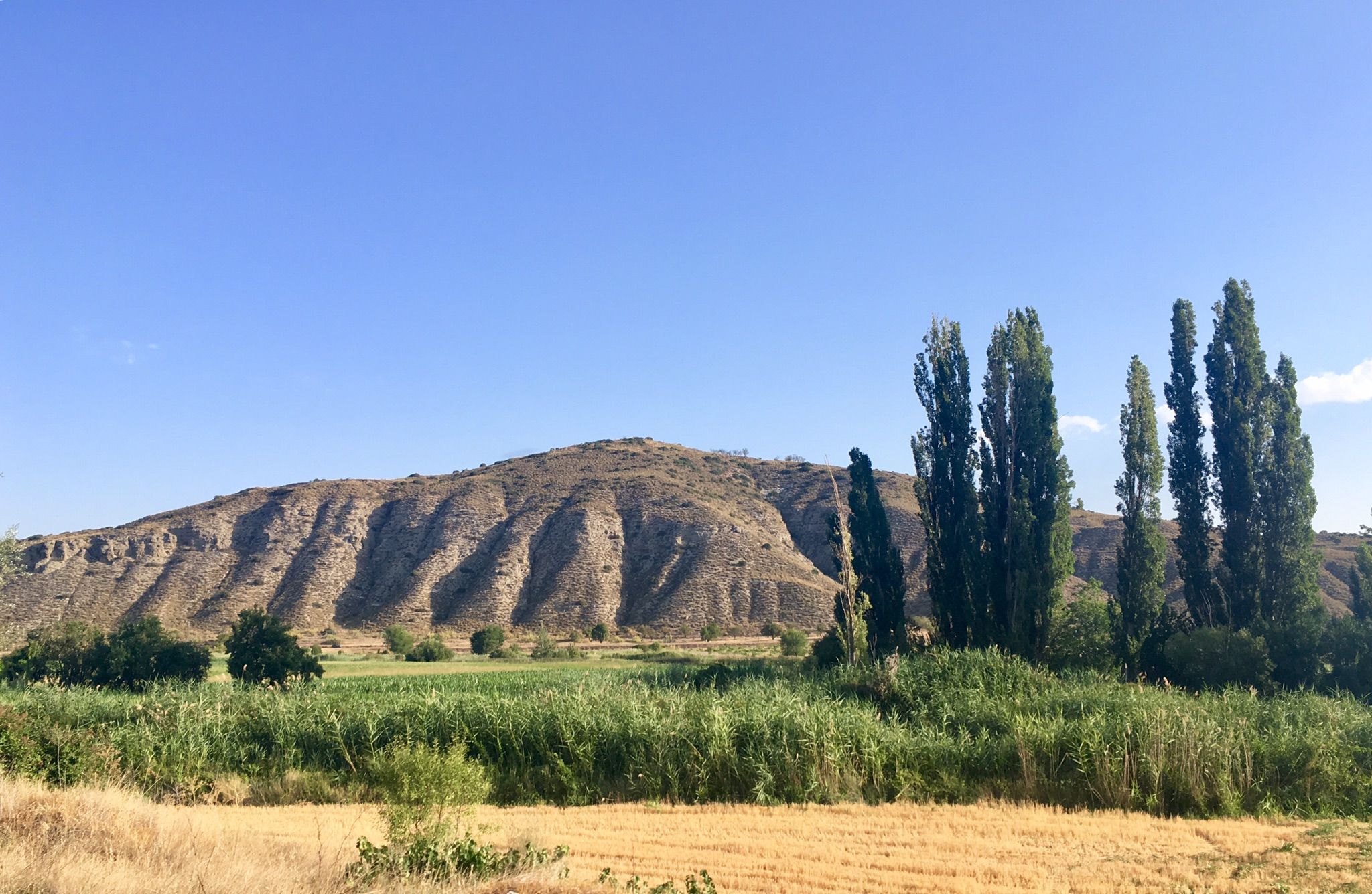
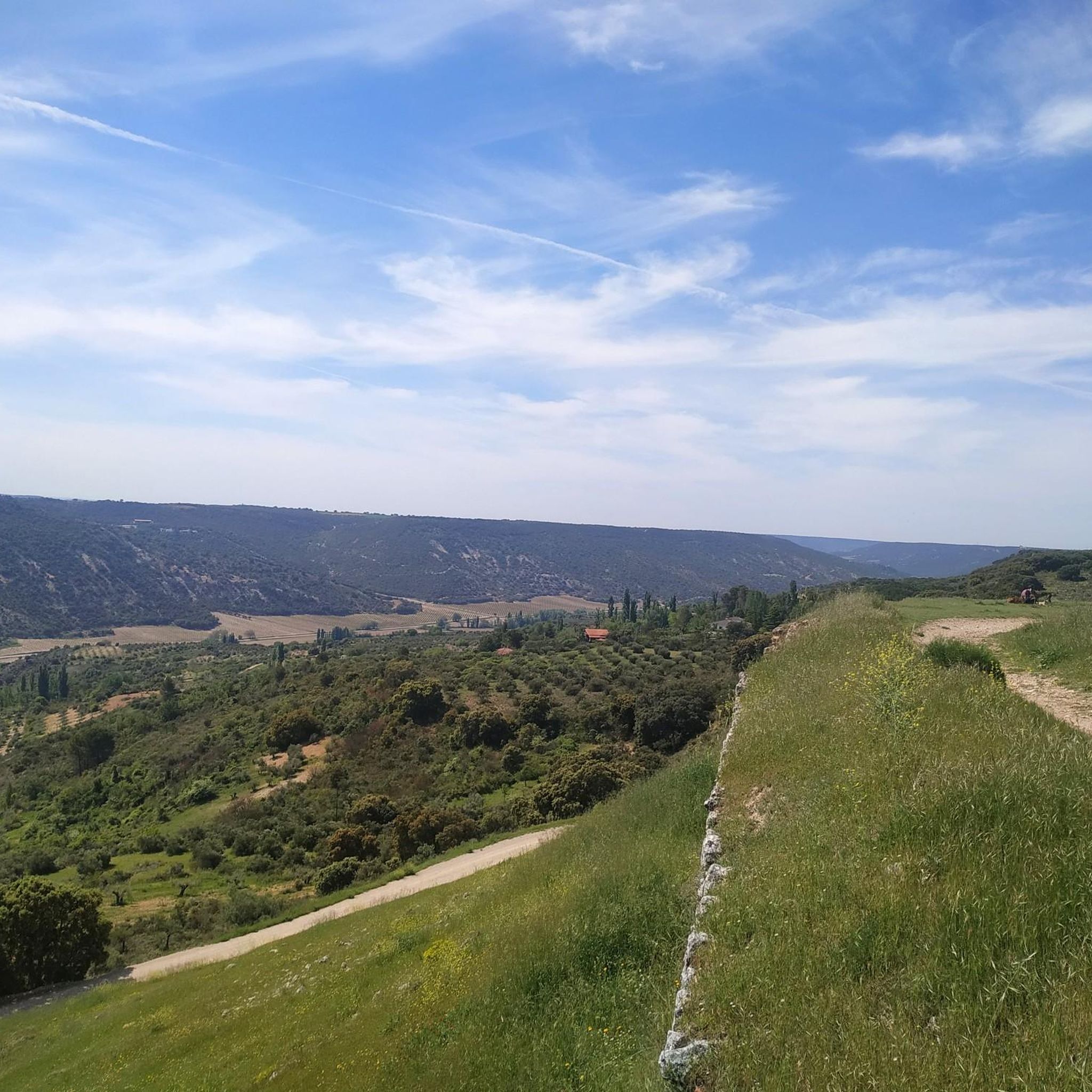
Hiking around Loranca De Tajuña offers diverse landscapes within the Tajuña River valley, characterized by significant altitudinal differences. The terrain features steep slopes descending from the Alcarria plateau, with elevations ranging from 690 meters along the riverbanks to 891 meters near local landmarks. Geological formations include prominent white gypsum areas and erosion-formed ravines, providing varied hiking experiences.
Best hiking trails around Loranca De Tajuña
- The most popular hiking route is Ruins of Hospital de Renera from Hontoba — circular via…
Last updated: July 1, 2026
5.0
(1)
1
hikers
12.1km
03:26
260m
260m
Hike a moderate 7.5-mile circular route from Hontoba to the Ruins of Hospital de Renera, exploring the path of los chaparros.
1
hikers
15.2km
04:13
240m
240m
Hike a moderate 9.5-mile (15.2 km) circular route from Loranca de Tajuña to explore the historical ruins of the Convento Jesús del Monte.

Sign up for free
4.8
(6)
16
hikers
Moderate hike. Good fitness required. Easily-accessible paths. Suitable for all skill levels.
4.5
(2)
12
hikers
16.8km
04:30
190m
190m
Moderate hike. Good fitness required. Easily-accessible paths. Suitable for all skill levels.
5
hikers
Easy hike. Great for any fitness level. Easily-accessible paths. Suitable for all skill levels.
Our route recommendations are based on thousands of hikes, rides, and runs completed by other people on komoot.
Start today with a free account
Your next adventure awaits.
Login or Signup

Other adventures around Loranca De Tajuña

Tips from the Community

The Tajuña Valley has numerous rural roads and forest tracks that run parallel to the river for much of its length, but not all are continuous or always in good condition. The Tajuña River Nature Trail, officially documented as a long hiking route from its source to its mouth, passes through Loranca de Tajuña along its course.
1
0
The hermitage is located on a hill north of Hontoba, in the La Alcarria region, overlooking the Tajuña and Hontoba stream valleys from a promontory that reaches an altitude of approximately 901 meters. Its origins are unclear, although according to legend, the Virgin Mary appeared to a shepherd and asked that a hermitage be built. There are indications of a 13th-century chapel where the Virgin was already venerated. It was also a place of retreat for nobles such as Íñigo López de Mendoza, 4th Duke of the Infantado, in the 16th century. The hermitage is listed on the Red List of Endangered Heritage due to its alarming state of general ruin.
1
0

The starting point is the Plaza de la Villa, following the main street to the outskirts of the town, where the interpretation stands are located.
0
0
La Pica may be the largest and oldest oak tree in the fields and forests of Madrid. It has been declared a Singular Tree by the Community of Madrid since 1992. It is an extraordinary forest monument, named by poets such as Antonio Machado and featured in numerous nature and environmental documentaries. Its estimated age is around three hundred years. It must have been born in the mid-eighteenth century. The trunk has a perimeter of four metres and a height of twenty metres, with a crown projection of five hundred square metres. It is a true jewel of forest nature.
0
0
The viewpoint is on the edge of the moor, above the slopes of oaks and holm oaks of the Val stream, and has beautiful views of the slopes of the valley and the white hamlet of Olmeda de las Fuentes.
0
0
The unique urban style of Nuevo Baztán maintains the original Baroque model from the beginning of the 18th century, designed by José de Churriguera by order of Juan de Goyeneche, who had permission from Charles II to build glass, paper and textile factories on Spanish territory. The Navarrese businessman was originally from Arizkun, in the Baztán Valley, but spent time in Madrid because he had other properties and professional relations with the Court. He chose the site of Madrid's Alcarria to found an industrial and rural centre in honour of his homeland and commissioned the Madrid architect to build a glass factory, a farming village of half a thousand inhabitants, a palace, a monumental church and gardens with centuries-old pines and elms. The town preserves cobbled streets, stone squares, rural buildings from the time of its foundation, between 1709 and 1713, and palace gardens, a beautiful heritage complex declared a Historic-Artistic Monument in 1941 and a Site of Cultural Interest in 2000.
0
0

Fountain in the small park in front of the church.
0
0
On the Red List of Heritage for its "state of ruin and abandonment". The building, from the 16th century, was occupied until the 17th century. Exactly until the year 1767, the year in which Carlos III expelled the Society of Jesus, the Jesuits, from Spain.
3
0
Frequently Asked Questions
What kind of terrain can I expect on hikes around Loranca de Tajuña?
The terrain around Loranca de Tajuña is quite varied, characterized by significant altitudinal differences. You'll find steep slopes descending from the Alcarria plateau into the Tajuña River valley. The area is also known for its interesting geological formations, including prominent white gypsum areas, ravines, and sinkholes, especially pronounced after heavy rains. Many paths follow the scenic Tajuña River banks.
Are there any easy hiking trails suitable for beginners or families?
Yes, Loranca de Tajuña offers easy routes perfect for beginners or families. For example, the Encina de la Pica – La Pica Holm Oak loop from Villar del Olmo is an easy 4.8 km (3 miles) trail that takes just over an hour to complete, with minimal elevation gain.
What natural attractions or landmarks can I see while hiking?
Hikers can explore a variety of natural and historical landmarks. The Road Along the Tajuña River offers scenic views, while the Encina de la Pica is a notable natural monument. You might also encounter several natural springs and fountains, and the dramatic Cuevas Blancas Rock Formations. The Peña de los Milánganos is a significant rock formation offering impressive views over the Tajuña valley.
Are there any circular hiking routes available?
Many of the routes in the area are circular, offering convenient starting and ending points. For instance, the The ruins of the convent Jesus del Monte — circular from Loranca de Tajuña is a moderate 15.2 km (9.5 miles) loop, and the Hiking loop from Mondéjar is another moderate circular option covering 16.8 km (10.4 miles).
What kind of wildlife might I encounter on the trails?
Loranca de Tajuña is rich in biodiversity, especially birdlife. The skies are frequented by various species, including imperial eagles, golden eagles, red kites, eagle owls, tawny owls, and barn owls. Griffon vultures are also commonly observed soaring overhead. The Tajuña River and its tributaries support aquatic life such as barbel, carp, and river crabs.
What is the best time of year to go hiking in Loranca de Tajuña?
The diverse landscapes of Loranca de Tajuña can be enjoyed throughout much of the year. Spring and autumn generally offer the most pleasant temperatures for hiking. During these seasons, the weather is mild, and the natural scenery is vibrant. Summer can be hot, so early morning or late afternoon hikes are recommended, while winter can bring cooler temperatures but also unique views of the geological formations.
Are there any viewpoints along the hiking trails?
Yes, the region offers several excellent viewpoints. The Peña de los Milánganos provides impressive panoramic views over the Tajuña valley and the town of Loranca. Additionally, 'La Hontanilla' is known as a scenic viewpoint and a starting point for various trails. You can also explore the Viewpoint Route – El Balconcillo Viewpoint loop from Olmeda de las Fuentes for dedicated scenic vistas.
What do other hikers say about the trails in Loranca de Tajuña?
The routes in Loranca de Tajuña are highly rated by the komoot community, with an average score of 4.8 stars from over 9 reviews. Hikers often praise the varied topography, the peaceful rural escape, and the opportunities to explore both natural features and historical ruins.
Are the hiking trails in Loranca de Tajuña dog-friendly?
While specific regulations can vary, generally, dogs are welcome on most hiking trails in rural areas like Loranca de Tajuña, especially if kept on a leash. It's always advisable to carry water for your dog, especially during warmer months, and to clean up after them to preserve the natural environment.
Is there parking available at the trailheads?
Parking is generally available near the starting points of many trails in and around Loranca de Tajuña. As it's a rural area, you'll often find designated parking spots or suitable roadside areas in villages like Loranca de Tajuña or Hontoba, where some popular routes begin.
How many hiking trails are there in the Loranca de Tajuña area?
There are at least 5 distinct hiking routes available for exploration around Loranca de Tajuña, ranging from easy to moderate difficulty, offering diverse experiences for different skill levels.
Most popular attractions around Loranca De Tajuña

Get inspired with the komoot mobile app


Explore more
Browse the best Hikes in other regions.
