The best walks and hikes around Mantiel
4.6
(15)
166
hikers
8
hikes
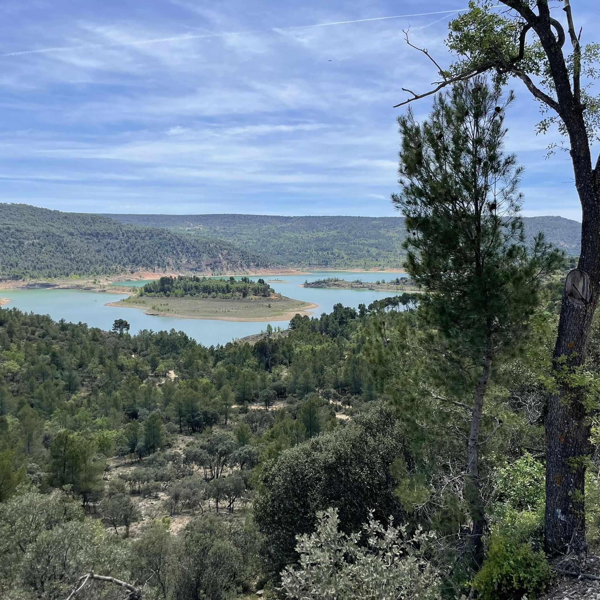
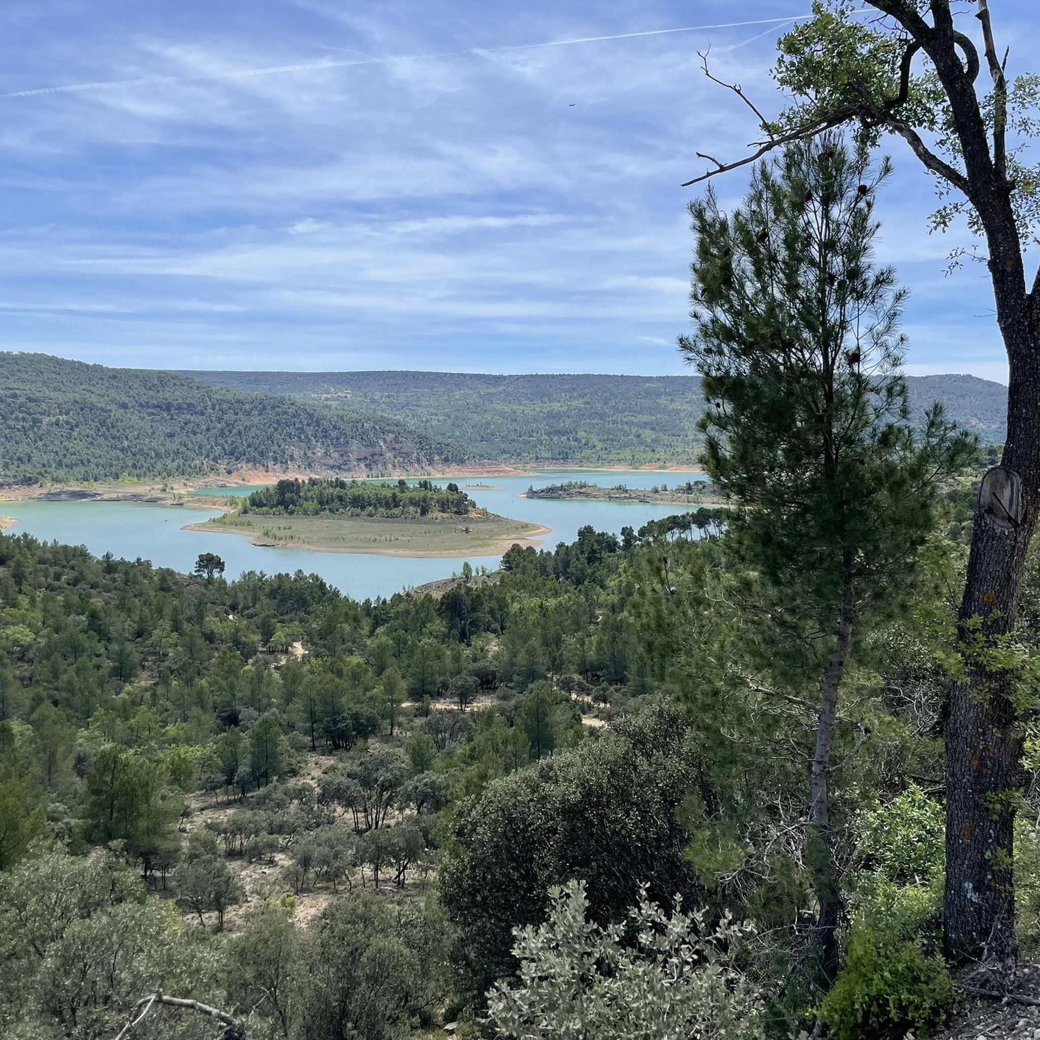
Hiking around Mantiel offers access to the distinctive "Alcarreño" landscape, characterized by olive groves, abandoned orchards, and mixed forests of pines, junipers, and holm oaks. The region's topography, hydrology, and geology contribute to a varied environmental setting. A prominent natural feature is the proximity to the Entrepeñas reservoir, providing scenic vistas along many routes. This area presents diverse recreational possibilities for outdoor enthusiasts.
Best hiking trails around Mantiel
- The most popular hiking route is El Garduño de Cela Trail,…
Last updated: June 30, 2026
4.8
(8)
24
hikers
11.7km
03:25
330m
330m
Hike the moderate 7.2 miles (11.7 km) El Garduño de Cela Trail through Alcarria's literary landscapes and charming villages.
10
hikers
6.81km
02:18
240m
240m
Hike the difficult 4.2-mile Tetas de Viana circular trail from Viana de Mondejar, gaining 790 feet for panoramic views.

Sign up for free
Hard hike. Very good fitness required. Mostly accessible paths. Sure-footedness required.
27
hikers
Hard hike. Great for any fitness level. Sure-footedness, sturdy shoes and alpine experience required.
5.0
(1)
11
hikers
2.49km
00:38
10m
10m
Easy hike. Great for any fitness level. Easily-accessible paths. Suitable for all skill levels.
Get access to more routes and recommendations from other explorers.
Sign up for free
Already have an account?
Our route recommendations are based on thousands of hikes, rides, and runs completed by other people on komoot.
Start today with a free account
Your next adventure awaits.
Login or Signup


Other adventures around Mantiel

Tips from the Community

Beautiful village between La Alcarria and the Entrepeñas Reservoir.
0
0

Autumn landscapes and sunsets
0
0
Ideal spot to watch the sunset
0
0
An elevated place with splendid landscapes throughout its surroundings. It is worth visiting.
0
0

The entrance to the summit is spectacular, it is the geographical ceiling of the Alcarria and the views are magnificent, practically the entire Alcarria Alta, the Serranía de Guadalajara, the Sierra de Ayllón, the popular Ocejón and the Sierra de Guadarrama. And the towns of Viana de Mondéjar and La Puerta from a bird's eye view. The summit plain has a circular path around the summit that may be covered in grass, although it can be seen in the terrain. A good vantage point is the north side, with views of the Elongated Tit. Around the perimeter there are some wooden sticks that can be confused with trail signs. In reality, they indicate the limit of the danger zone. To avoid approaching the cliffs, the path runs a few meters inside.
0
0
The Tetas de Viana constitute an extraordinary place from a defensive point of view, which is why they have been inhabited since ancient times. At present they constitute a spectacular viewpoint of the surrounding landscape. From them you can see the beautiful surrounding towns, Trillo, Viana de Mondejar, and La Puerta (at the entrance to Rocas Castle).
0
0

Mantiel is a small municipality in the province of Guadalajara. In its town center there is a beautiful hermitage and an old public laundry. It also has a tavern.
2
0

This small town is located near the bed of one of the most important tributaries of the Tagus River, at the gate to the Sierra de Umbría Negra. It was once famous for its baths, of which today only the old building remains, but it still preserves the flavor and freshness of the nature that surrounds it, and some landscapes to recreate the view, as well as some beautiful fountains from the s. XVIII.
3
1
Frequently Asked Questions
What types of hiking trails can I find around Mantiel?
Mantiel offers a diverse range of hiking trails, from easy walks to more challenging ascents. The landscape is characterized by its "Alcarreño" features, including olive groves, mixed forests of pines, junipers, and holm oaks, and scenic views of the Entrepeñas reservoir. There are 7 recorded tours in the area, catering to various fitness levels.
Are there any easy hiking routes suitable for beginners or casual walkers?
Yes, Mantiel has easy hiking options. For instance, the Dique de Pareja – Azud de Pareja loop from Pareja is an easy route, perfect for a relaxed stroll. Overall, there are 2 easy tours available in the region.
Can I find circular hiking routes in Mantiel?
Absolutely. Many trails around Mantiel are circular, allowing you to start and end in the same location. A notable example is the challenging Tetas de Viana Loop, which offers marvelous views from the Tetas de Viana hills.
What are some natural attractions or landmarks to see while hiking in Mantiel?
The region is rich in natural beauty. You can enjoy stunning views of the Entrepeñas Reservoir along many routes. Other highlights include the Tetas de Viana (1,145 m) summits and the Cifuentes River Waterfall. The area's characteristic Alcarreño landscape with its olive groves and mixed forests is a constant scenic backdrop.
Are there any family-friendly hiking options in Mantiel?
While specific 'family-friendly' routes aren't explicitly categorized, the easy trails, such as the Dique de Pareja – Azud de Pareja loop from Pareja, are generally suitable for families looking for a less strenuous outdoor experience. The varied terrain and scenic reservoir views offer engaging walks for all ages.
What is the best time of year to go hiking in Mantiel?
The trails around Mantiel are generally accessible throughout the year. However, if hiking during summer, it's advisable to start early in the day and carry ample water due to higher temperatures. Spring and autumn offer pleasant weather for exploring the Alcarreño landscape and reservoir views.
What do other hikers say about the trails in Mantiel?
The hiking routes in Mantiel are highly regarded by the komoot community, holding an average rating of 4.6 stars from over 10 reviews. Hikers frequently praise the scenic reservoir views, the diverse mixed forests, and the unique Alcarreño landscape that defines the region's trails.
Are there any long-distance hiking paths that pass through Mantiel?
Yes, Mantiel is located on the GR113 (Sendero de Gran Recorrido), also known as the Natural Way of the Tagus. This long-distance path stretches from Albarracín to Lisbon, offering opportunities for extended treks through the region.
What is the typical duration for hikes around Mantiel?
Hikes around Mantiel vary significantly in duration depending on the route and your pace. For example, the moderate El Garduño de Cela Trail typically takes about 3 hours and 25 minutes, while the more challenging On the shores of the Entrepeñas Reservoir — circular from Mantiel along the Tajo Natural Path can take around 6 hours and 15 minutes.
Are there any specific viewpoints or panoramic spots worth visiting?
Yes, the region offers several excellent viewpoints. The View of Mantiel and the Entrepeñas Reservoir is a popular spot, as is the Mirador de Alocén. Views from the Tetas de Viana hills, such as the Tetas de Viana (1,145 m) loop from Viana de Mondéjar, are also highly recommended for their expansive panoramas.
Is Mantiel a good place for wildlife spotting during hikes?
The mixed forests of pines, junipers, and holm oaks, along with the proximity to the Entrepeñas reservoir, create a diverse habitat. While specific wildlife sightings are not guaranteed, the natural environment suggests opportunities for observing local flora and fauna characteristic of the Alcarreño landscape.
Most popular attractions around Mantiel

Get inspired with the komoot mobile app


Explore more
Browse the best Hikes in other regions.
