The best cycling routes around Bocairent
4.8
(27)
331
riders
29
rides
Touring cycling routes around Bocairent are set within the Sierra de Mariola Natural Park, offering diverse terrain at an altitude of 800 meters. The region features dramatic rocky cliffs, deep ravines, and extensive forests, providing varied landscapes for cyclists. Well-paved roads and scenic ascents through pine and oak forests characterize many routes, often with minimal traffic. The historic old town, perched on a rocky outcrop, adds a unique cultural dimension to the natural surroundings.
Best touring cycling routes around Bocairent
…Last updated: August 18, 2026
5.0
(4)
41
riders
54.0km
04:02
630m
630m
Hard bike ride. Very good fitness required. Mostly paved surfaces. Suitable for all skill levels.
5.0
(4)
23
riders
34.1km
02:19
310m
310m
Moderate bike ride. Good fitness required. Mostly paved surfaces. Suitable for all skill levels.

Sign up for free
4.5
(2)
19
riders
40.1km
03:34
670m
670m
Hard bike ride. Very good fitness required. Mostly paved surfaces. Suitable for all skill levels.
5.0
(3)
17
riders
41.0km
02:56
350m
360m
Moderate bike ride. Good fitness required. Mostly paved surfaces. Suitable for all skill levels.
5.0
(2)
18
riders
46.4km
03:11
760m
760m
Hard bike ride. Very good fitness required. Mostly paved surfaces. Suitable for all skill levels.
Get access to more routes and recommendations from other explorers.
Sign up for free
Already have an account?
Our route recommendations are based on thousands of hikes, rides, and runs completed by other people on komoot.
Start today with a free account
Your next adventure awaits.
Login or Signup
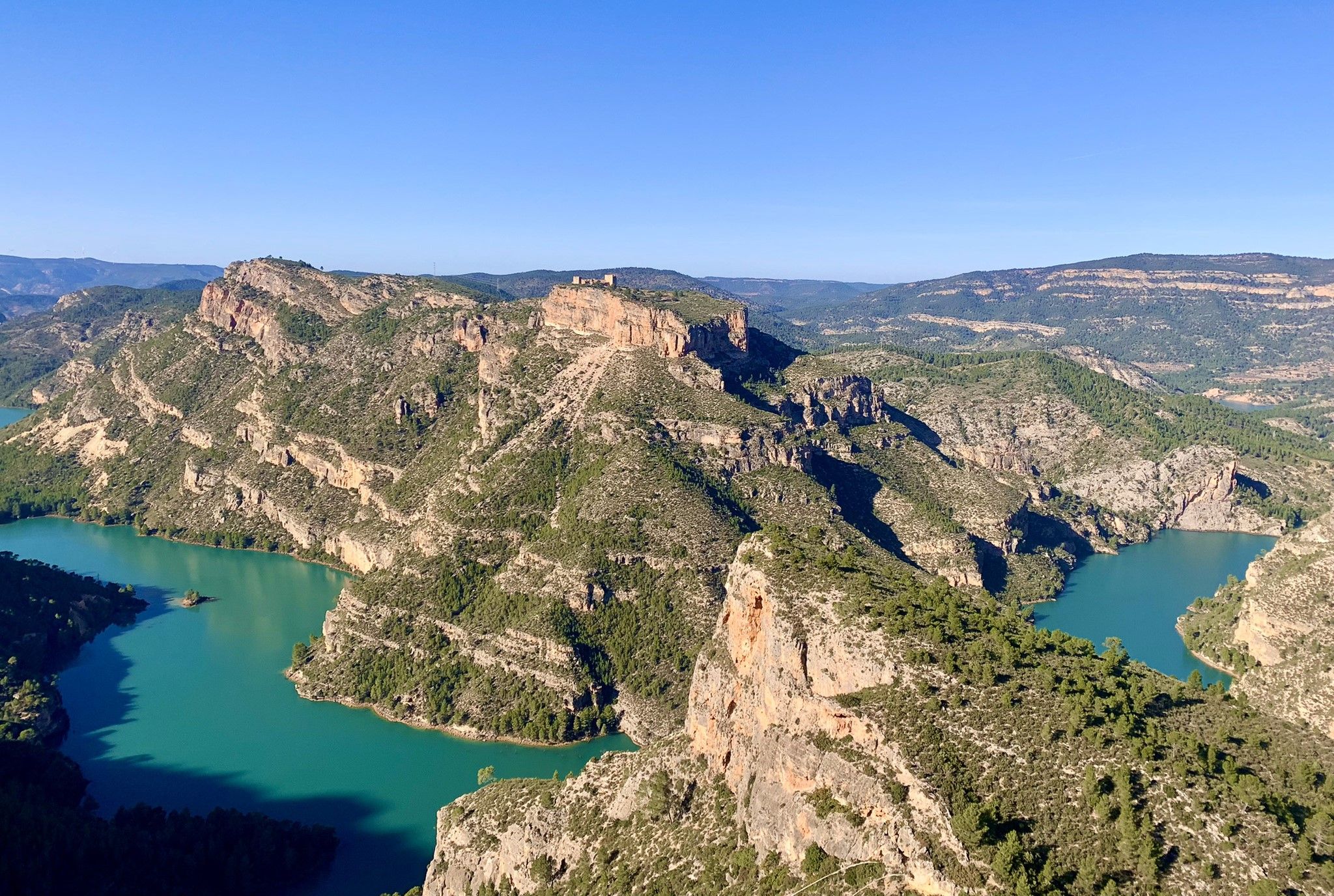
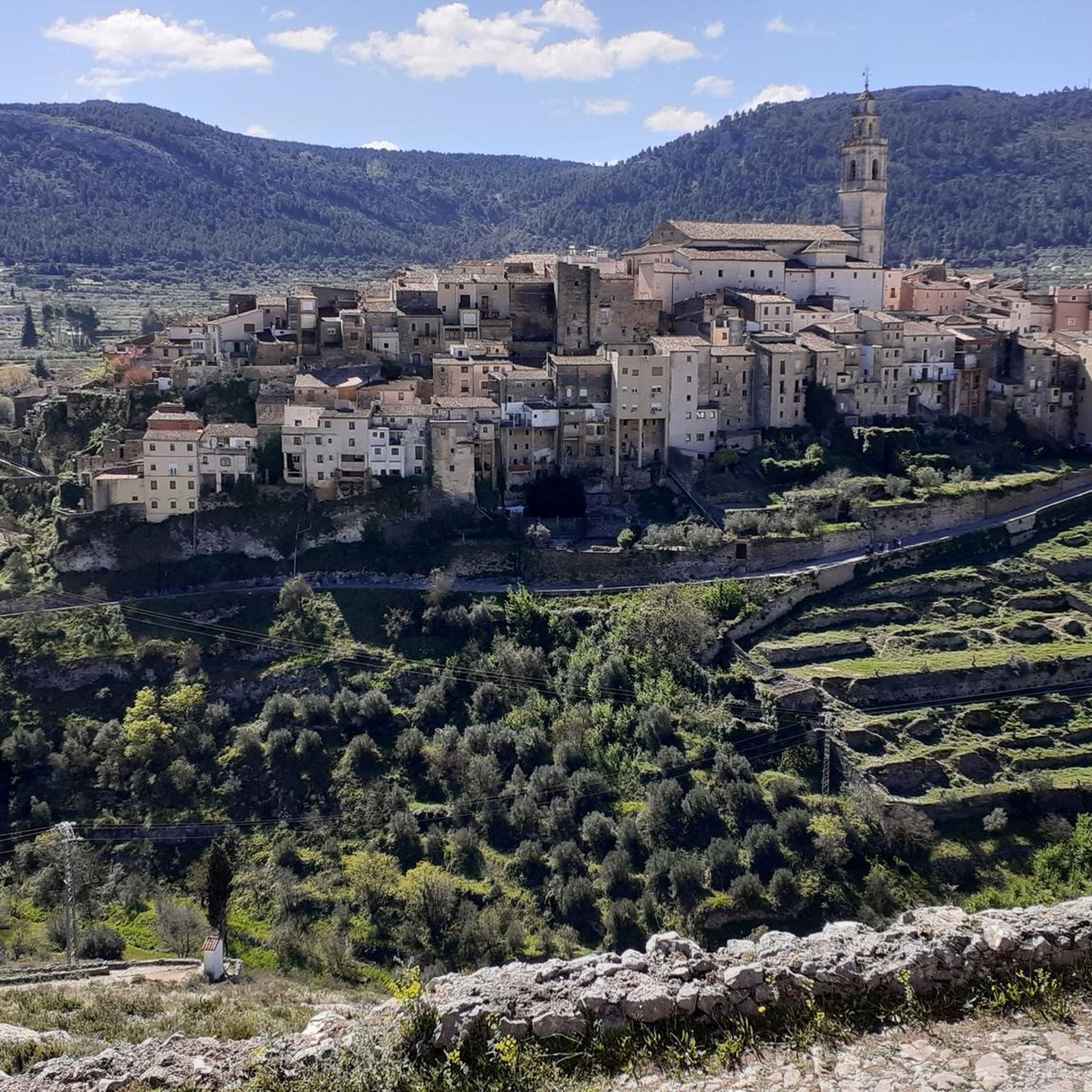
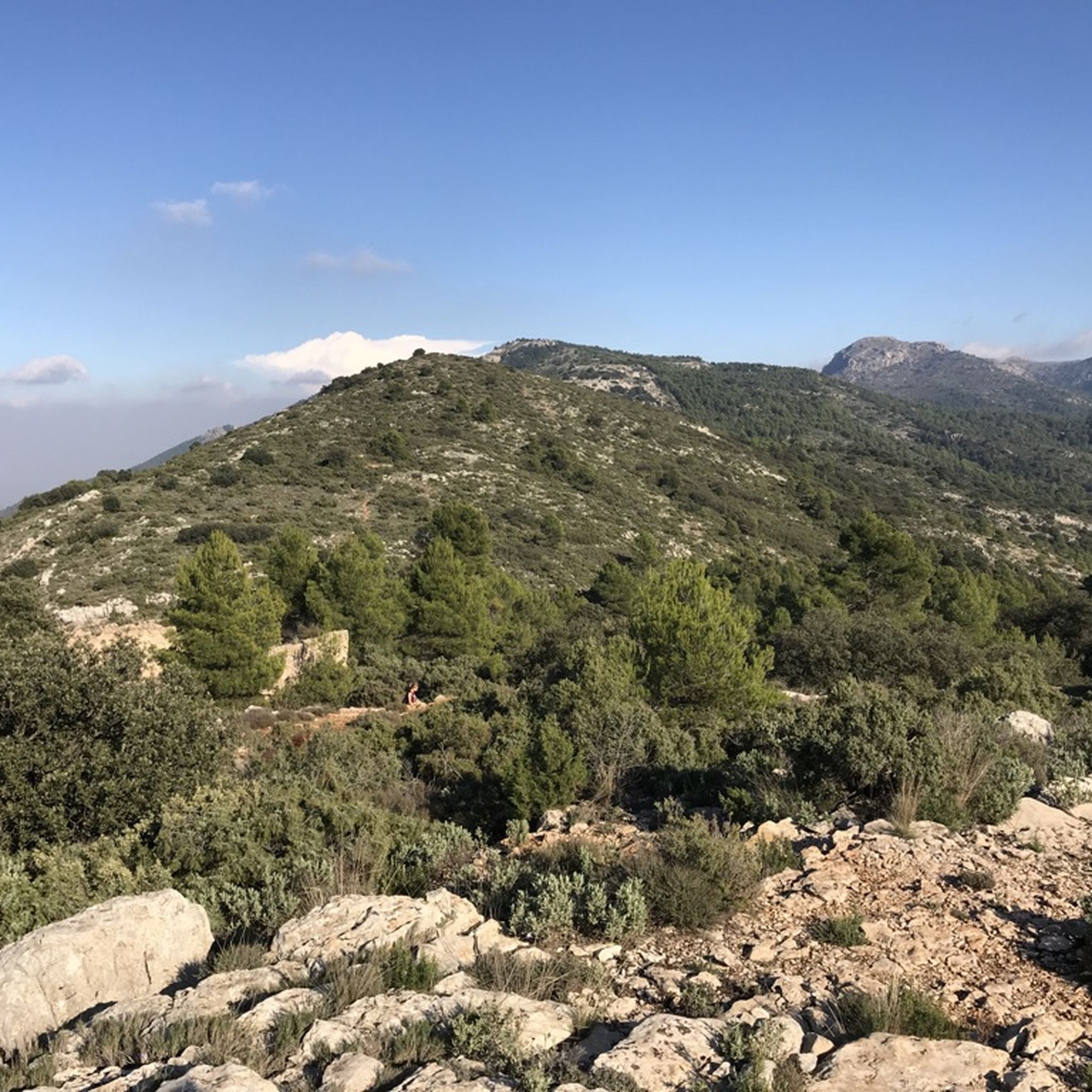

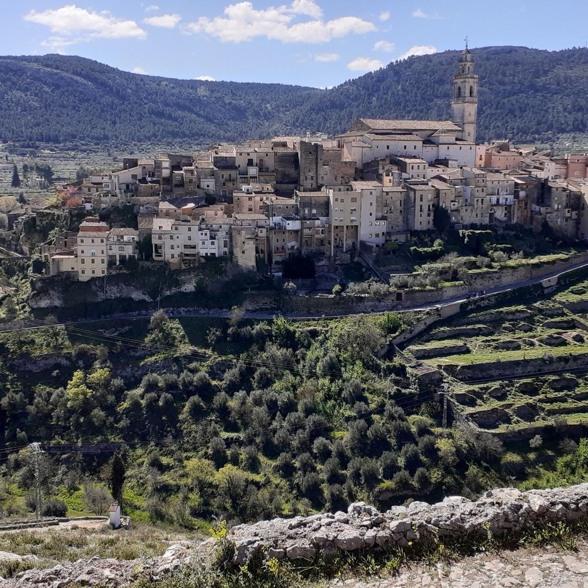
Other adventures around Bocairent

Tips from the Community

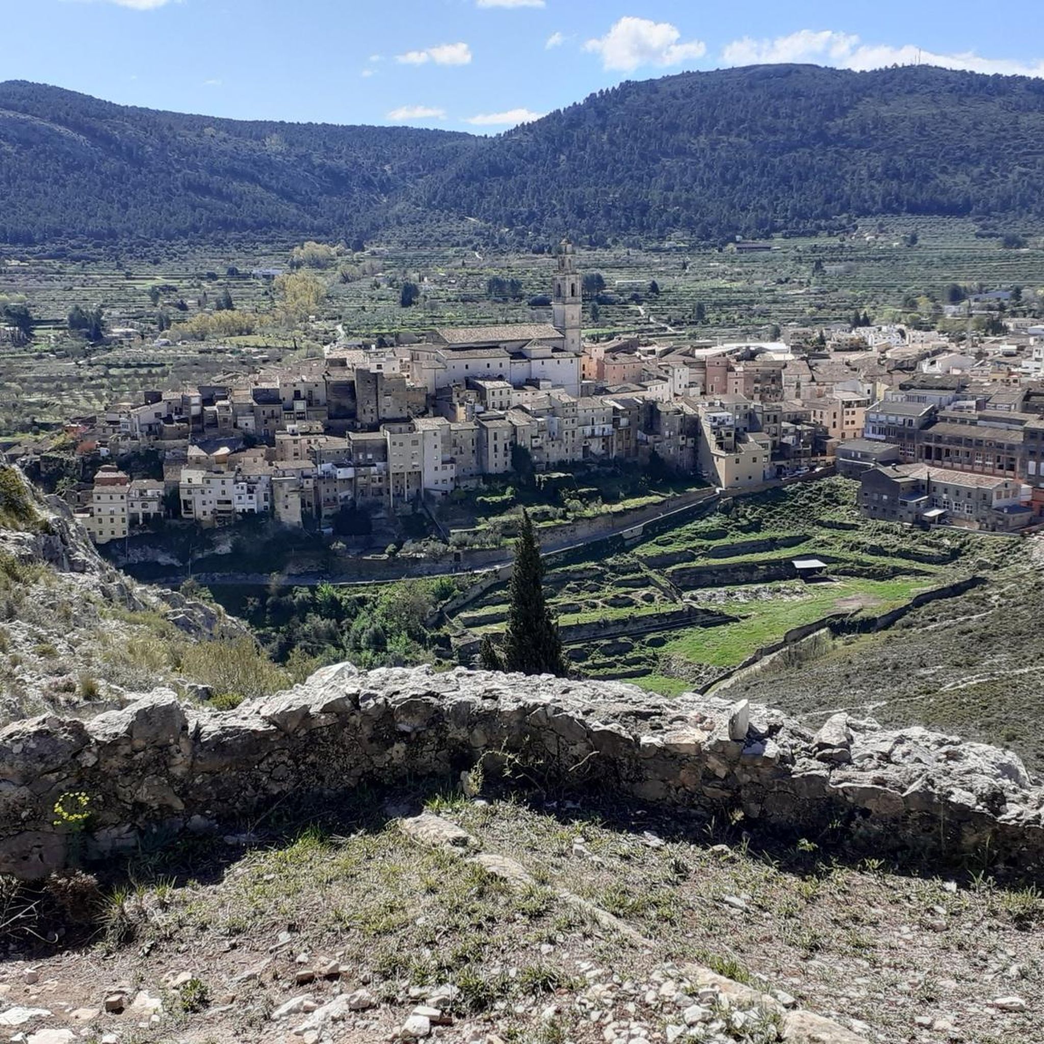
Bocairent is really a place worth seeing. When you drive down the road outside, you have a great view of the caves and then of course of the entire town.
1
0
Super nice view of the church. If you want to go up, you should eat an extra roll for breakfast.
1
0
Great view of the caves from above. If you are planning a visit, be sure to check the opening hours.
1
0
A very pretty little town. At the beginning of the week in March, it's still very much in its winter slumber. Restaurants are hard to find.
0
0
The Plaza de la Constitución should definitely be included. Church, town hall, pub: it's all there.
0
0
The church is very dark inside. There's also a small bar right on the square for refreshments.
0
0

The river originates in the north in the Serra de Mariola and flows south through towns such as Villena, Elda, and Petrer. Its water level fluctuates considerably depending on the season. Despite often low water levels, the river has historically been important for agriculture, settlement, and irrigation.
1
0
Frequently Asked Questions
How many touring cycling routes are available around Bocairent?
There are over 25 touring cycling routes around Bocairent, offering a variety of options for different skill levels and preferences. The komoot community has explored these routes over 280 times.
What are the typical difficulty levels for touring cycling routes in Bocairent?
The touring cycling routes in Bocairent primarily feature moderate to difficult terrain. There are 8 moderate routes and 17 difficult routes, often involving scenic ascents through the Sierra de Mariola Natural Park.
What natural attractions can I discover along the touring cycling routes in Bocairent?
Many routes offer access to stunning natural features. You can visit the crystal-clear Pou Clar Natural Pools, explore deep ravines like Barranco del Cint, or enjoy panoramic views from peaks such as Alto del Menejador.
Are there any historical sites or cultural landmarks to see while cycling in Bocairent?
Yes, Bocairent is rich in history. You can cycle past the unique Hermitage of Santo Cristo, or explore the historic ice caves like Cava Gran de Agres. The town itself, with its medieval architecture and Moorish Caves, is a national historical site.
What do other touring cyclists appreciate about the routes in Bocairent?
The touring cycling routes in Bocairent are highly rated by the komoot community, with an average score of 4.9 stars from over 18 reviews. Cyclists often praise the diverse terrain, the stunning natural landscapes of the Sierra de Mariola Natural Park, and the unique historical sites encountered along the way.
What is the best time of year to go touring cycling in Bocairent?
Bocairent offers good cycling conditions for much of the year. Spring and autumn generally provide the most pleasant temperatures for touring. While the region is at an altitude of 800 meters, winter cycling is possible, but it's advisable to check local weather conditions, especially for routes that ascend into the higher parts of the Sierra de Mariola.
Are there many circular touring cycling routes in Bocairent?
Yes, many of the touring cycling routes around Bocairent are designed as loops, allowing you to start and finish in the same location. Examples include the Biar – Plaza de la Constitución, Biar loop from Bocairent and the Pou Clar Natural Pools – Pou Clar loop from Bocairent.
Which touring cycling routes offer the best panoramic views in the Bocairent area?
For breathtaking panoramic views, consider routes that ascend to higher elevations within the Sierra de Mariola Natural Park. The Mariola Spring – Santa Barbara Hermitage loop from Parc Natural de la Serra de Mariola offers extensive views, and the Alto del Menejador peak (1350 meters) provides incredible vistas in all directions.
Are there any specific challenges or notable climbs for touring cyclists in Bocairent?
Yes, Bocairent's terrain includes notable climbs that offer rewarding challenges. The 'Port Bocairent' and 'El Portell' climbs are well-known, with El Portell providing a scenic ascent through pine and oak forests into the Sierra Mariola Natural Park, characterized by excellent road conditions and minimal traffic.
Are there options for other types of cycling besides touring in Bocairent?
While this guide focuses on touring cycling, Bocairent is also a hub for other cycling disciplines. The region offers diverse terrain suitable for road cycling, with routes like the 'Canalís d'Onil Pass – Banyeres loop,' and dedicated mountain biking routes, such as those found on the Vía Verde de Bocairent.
What are the typical distances and durations for touring cycling routes in Bocairent?
Touring cycling routes in Bocairent vary in length and duration. For example, the Biar – Plaza de la Constitución, Biar loop from Bocairent is about 35.5 miles (57.1 km) and takes around 4 hours 31 minutes, while the Santa Barbara Hermitage – Bocairent loop from Bocairent is 34.4 miles (34.4 km) and can be completed in about 2 hours 28 minutes.
Where can I find more information about Bocairent's attractions and services?
For additional information about Bocairent's attractions, historical sites, and local services, you can visit the official tourism website: visitbocairent.es.
Most popular routes around Bocairent
Most popular attractions around Bocairent

Get inspired with the komoot mobile app


Explore more
Browse the best Cycling routes in other regions.
