The best road cycling routes around Buñol
4.6
(41)
2,285
riders
42
rides
Road cycling around Buñol offers diverse landscapes and varied terrain in the Valencian Community of Spain. The region features rolling hills, mountainous areas with pine-tree-covered slopes, and distant peaks. Cyclists can navigate routes that include both flat sections and challenging climbs, often passing by natural water features like the Juanes River. The lush Valencian landscapes provide a scenic backdrop for road cycling routes.
Best road cycling routes around Buñol
- The most popular road cycling route is The Embalse de Forata…
Last updated: October 2, 2026
100
riders
77.4km
04:05
1,260m
1,260m
Hard road ride. Very good fitness required. Mostly well-paved surfaces and easy to ride.
4.8
(5)
61
riders
80.9km
04:03
1,080m
1,080m
Hard road ride. Very good fitness required. Mostly well-paved surfaces and easy to ride.

5.0
(2)
177
riders
108km
06:15
2,240m
2,240m
Hard road ride. Very good fitness required. Mostly well-paved surfaces and easy to ride.
5.0
(4)
100
riders
66.7km
03:00
680m
680m
Moderate road ride. Good fitness required. Mostly well-paved surfaces and easy to ride.
73
riders
62.2km
03:06
740m
740m
Moderate road ride. Good fitness required. Mostly well-paved surfaces and easy to ride.
Get access to more routes and recommendations from other explorers.
Already have an account?
Our route recommendations are based on thousands of hikes, rides, and runs completed by other people on komoot.
Start today with a free account
Your next adventure awaits.
Tips from the Community


Els Arquets de Dalt acquired the protection of a Site of Local Relevance (BRL) in the year 2000. From this moment on, public initiatives were developed for the recovery, enhancement, and dissemination of Torrent's hydraulic heritage: - The Citizen Platform "Un Barranc Viu sense Formigó": a research project in 1998, aimed, through the publication Un barranc viu. Medi natural i usos tradicionals del barranc de Torrent (2004), to offer a diagnosis of the environmental state, uses, and social perception of this natural space. - Introduction of these Assets in Torrent guia d´itineraris (2009). - Between 2009 and 2010, els Arquets de Dalt and de Baix were restored with the subsidy from the Ministry of Culture, through the General Directorate of Valencian Cultural Heritage. - In 2014, the Master Plan for Hydraulic Heritage was carried out: The publication Ruta pel patrimoni hidràulic, natural i etnogràfic del barranc de l´Horteta i la séquia de Torrent was carried out. It presents the so-called "senda del reg mi.lenari", a 14 km route to visit Torrent's hydraulic heritage, which includes Els Arquets de Dalt and de Baix. - Introduced in the Guide to Natural Spaces of Torrent. - In 2024, cleaning work and the creation of information boards were carried out at els Arquets de Dalt and the Barranc de l'Horteta path was adapted.
0
0
Long mural with two distinct parts, one with characters and the other with a message.
1
0
Rest area, just down a few steps from the road. Good shade, and running water for refreshment and drinking water from the fountain. There's a paella grill area (although, at least in summer, it's closed to public use), tables, and benches. Not to mention, the most remarkable thing is the view over the reservoir.
0
0


The Mijares River rises at an altitude of 1,600 m in the Sierra de Gúdar mountain range, part of the Iberian System. The Mijares forms a 4,028 km² valley basin. After 156 km, the river flows into the Mediterranean Sea at Valencia.
1
0
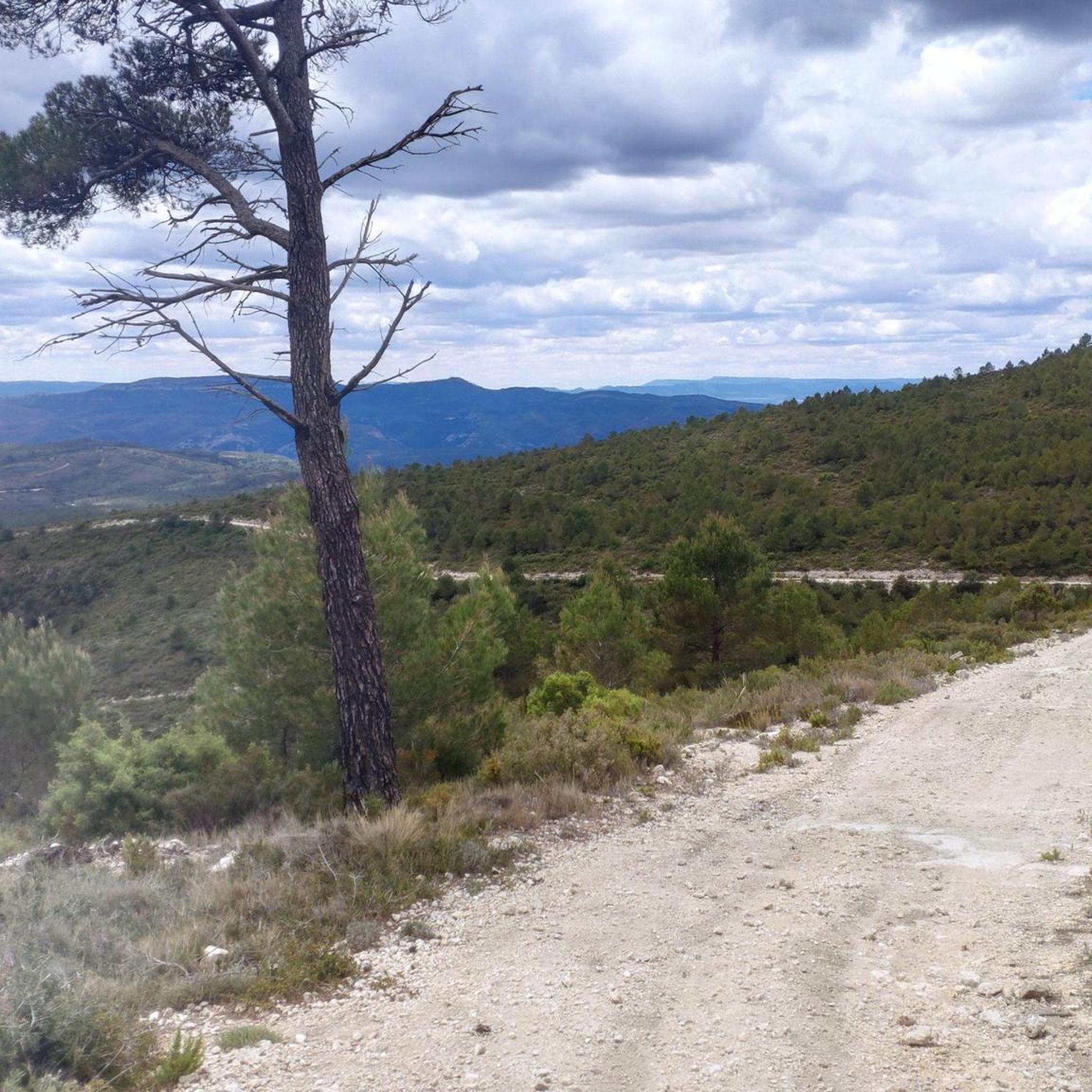
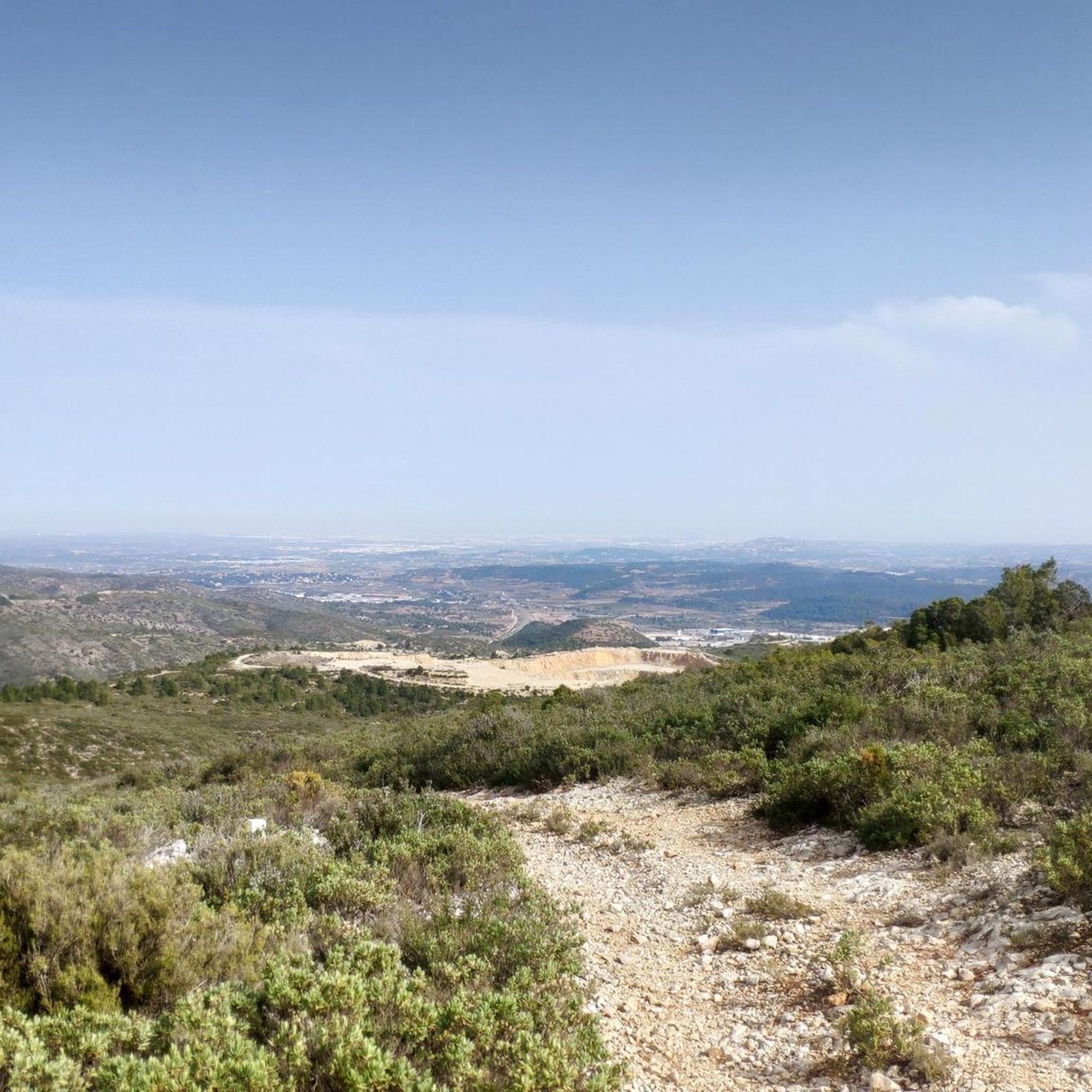
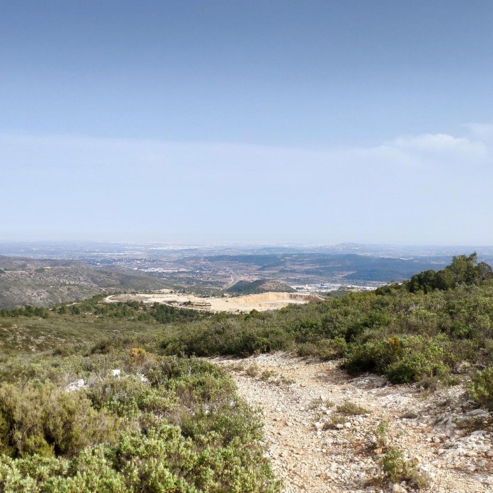
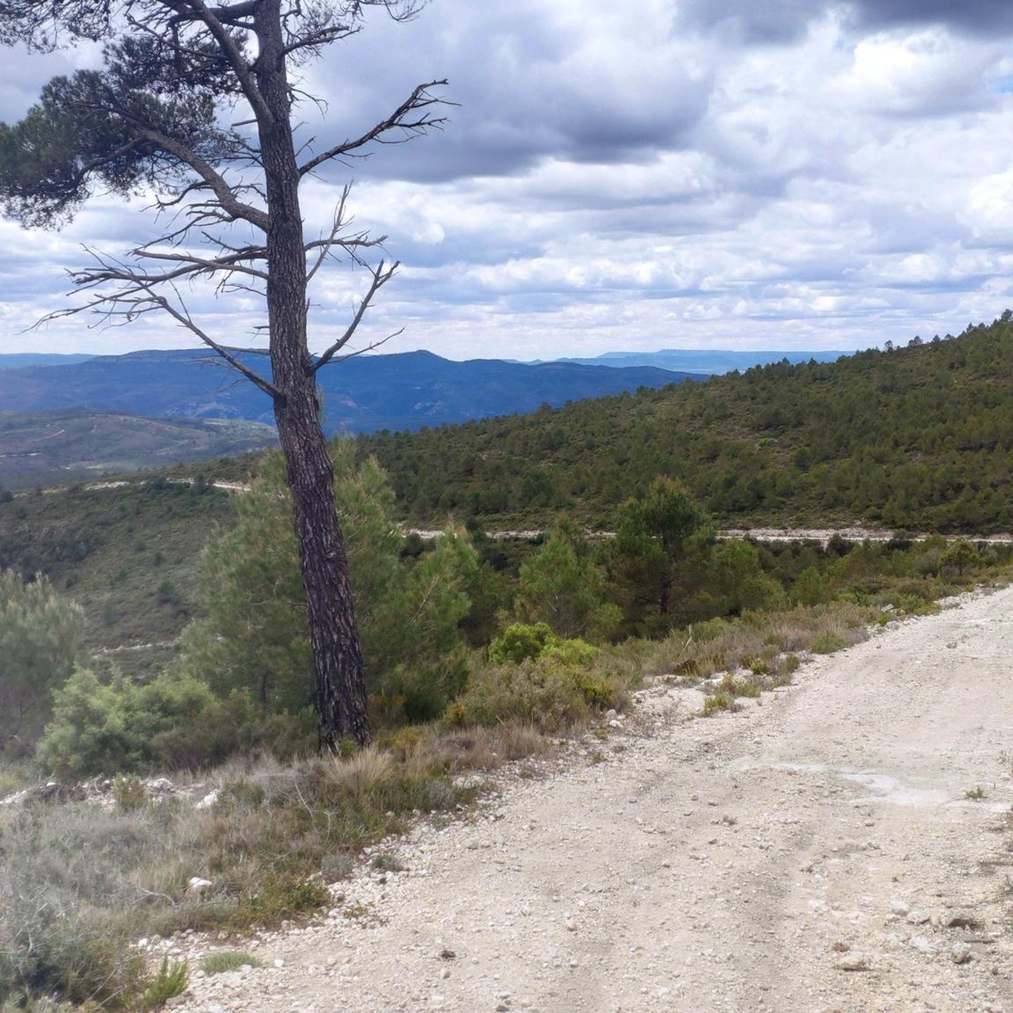
Tremendous views of the area. It's worth climbing
1
0
The Fuente Real port (adding the section of the Balcòn de Montroy port) is 10km at 4.4%, with a couple of kms in each section above 5% (reaching 7% in some areas) and the rest calmer.
1
0
Frequently Asked Questions
How many road cycling routes are available around Buñol?
There are over 40 road cycling routes around Buñol, catering to various skill levels. You'll find a good mix of moderate and difficult options to explore the region's diverse landscapes.
What kind of terrain can I expect on road cycling routes in Buñol?
Road cycling routes in Buñol feature a varied and engaging terrain. You can expect rolling hills, mountainous areas with pine-tree-covered slopes, and distant peaks. Routes often include both flat sections and challenging climbs, all set within lush Valencian landscapes.
What is the general difficulty level of road cycling routes in Buñol?
The routes around Buñol are generally suited for cyclists with some experience. Out of over 40 routes, 16 are classified as moderate and 24 as difficult, often featuring significant elevation gains. There are no easy routes listed, indicating a focus on more challenging rides.
Are there any natural attractions or landmarks to see along the road cycling routes in Buñol?
Yes, many routes pass by notable natural features. You might encounter the impressive Turche Cave Waterfall, the tranquil Mañán Pool, or the Cave of the Doves and Yátova Waterfall. The Juanes River is also integrated into the natural environment of many cycling paths.
Can I find routes that pass by waterfalls or natural pools?
Absolutely. Buñol is known for its stunning natural water features. Routes often lead past attractions like the Turche Cave Waterfall, which can be particularly impressive after heavy rains, or the Beautiful pool on the Juanes River, perfect for a scenic stop.
Are there any long-distance road cycling routes for experienced riders?
Yes, Buñol offers several challenging long-distance routes. For example, the Fuente Real Pass – View of Dos Aguas loop from Buñol covers over 105 km with significant elevation gain, typically taking around 5 hours 18 minutes to complete. Another option is the Charca / Cueva del Turche – Mijares River loop from Buñol, which is about 93.5 km.
Can I find circular road cycling routes in Buñol?
Many of the road cycling routes around Buñol are designed as loops, allowing you to start and finish in the same location. A popular choice is The Embalse de Forata - Circular from Buñol, a challenging 77.4 km route, or the Circular route from Buñol crossing the Mijares River, spanning 80.9 km.
What is the best time of year for road cycling in Buñol?
Buñol, located in the Valencian Community, generally offers favorable conditions for road cycling for much of the year. Spring and autumn provide pleasant temperatures, while summer can be hot, especially during midday. Winter is typically mild, making it possible to cycle year-round, though cooler temperatures and occasional rain should be expected.
Are there family-friendly road cycling options in Buñol?
While many routes around Buñol are classified as moderate to difficult due to elevation changes, the region's extensive network means there are likely flatter, less challenging sections or local roads suitable for families. It's advisable to check individual route profiles for specific details on distance and elevation to find the most suitable options.
What do other road cyclists enjoy the most about road cycling in Buñol?
The road cycling routes in Buñol are highly rated by the komoot community, with an average score of 4.3 stars from over 10 reviews. Cyclists often praise the diverse landscapes, the varied terrain that includes both climbs and scenic descents, and the natural beauty of the Valencian region, including its water features and pine forests.
Are there any moderate road cycling routes for those looking for a less intense ride?
Yes, while many routes are difficult, there are 16 routes classified as moderate. An example is the Weir of the Magre River – Bar El Cazador loop from Buñol, which covers about 66.6 km with a more manageable elevation gain, typically completed in around 3 hours.
Most popular attractions around Buñol

Get inspired with the komoot mobile app


Explore more
Browse the best Road cycling routes in other regions.
