The best walks and hikes around Teresa
4.5
(68)
421
hikers
59
hikes
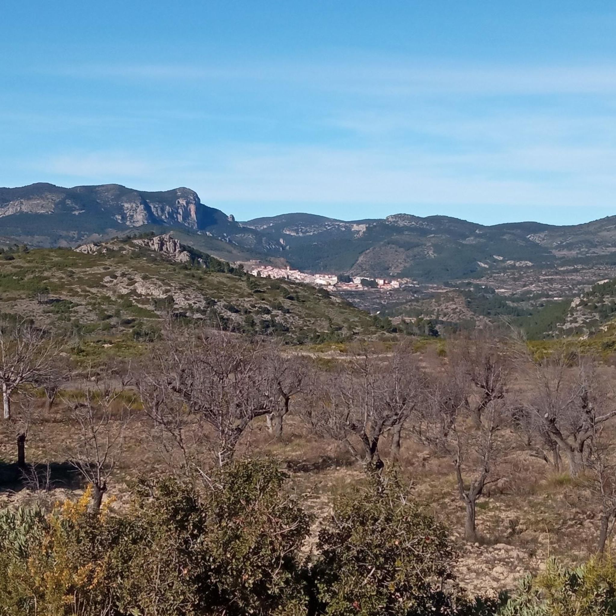
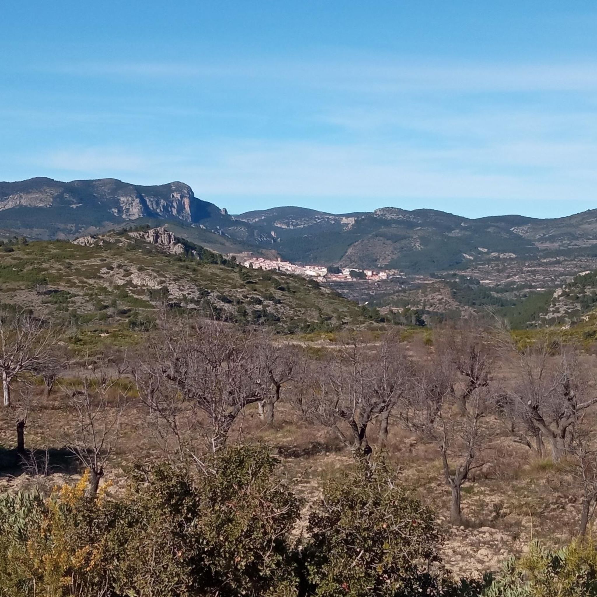
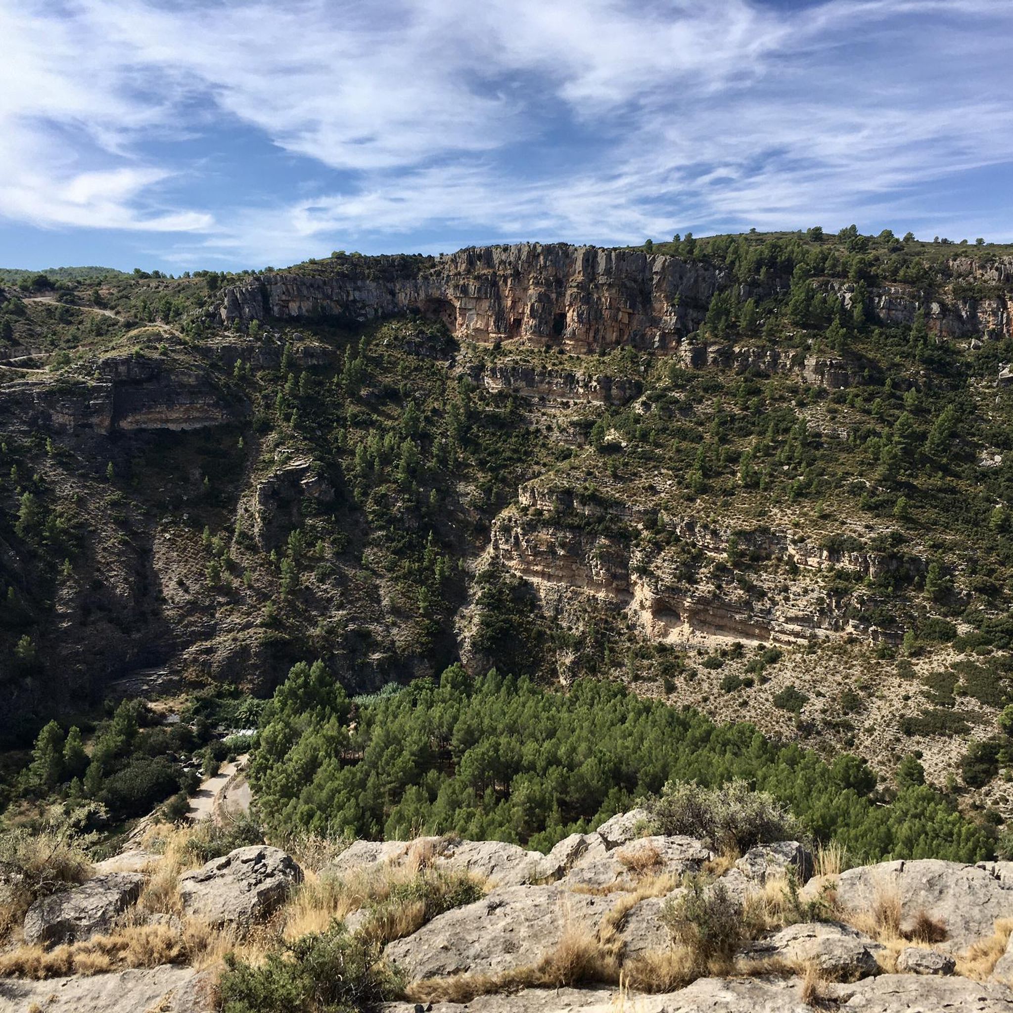
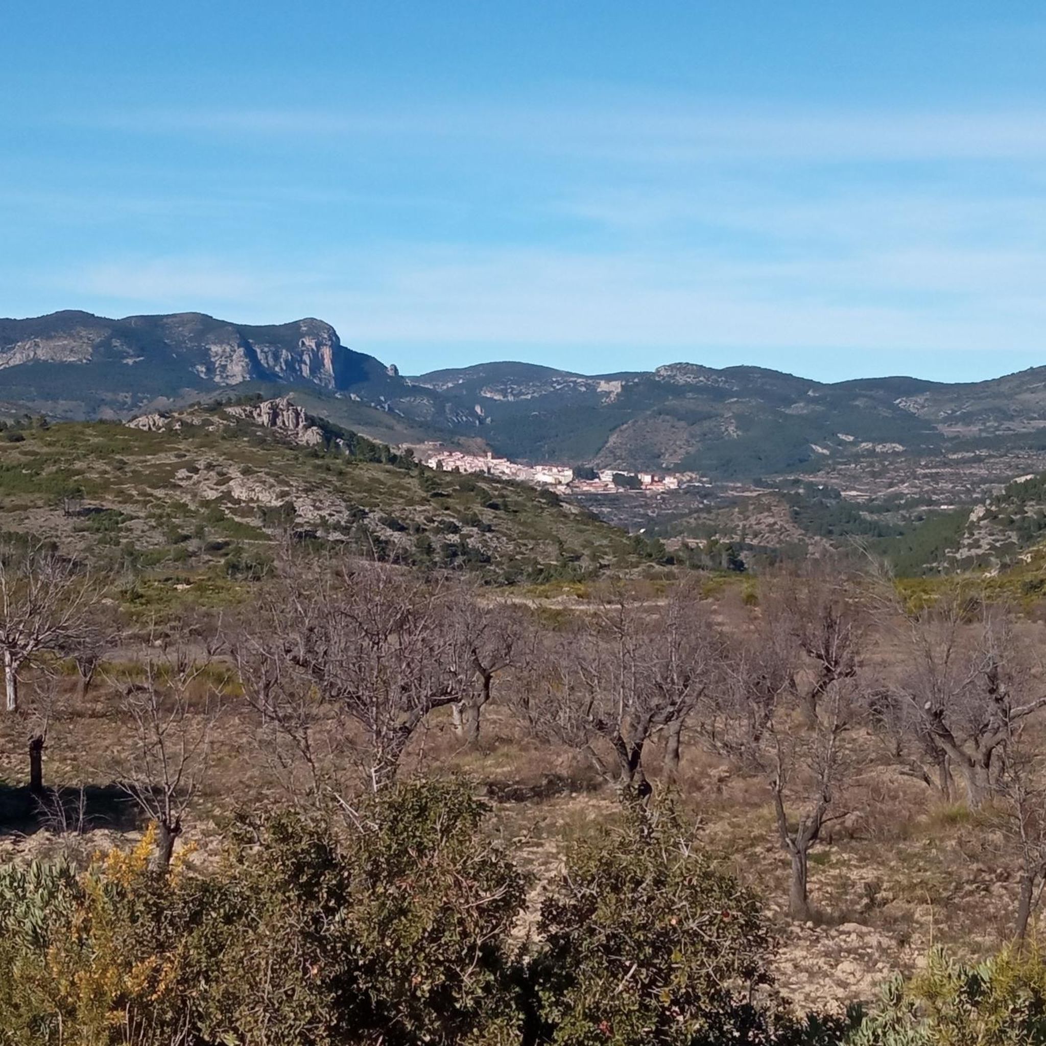
Hiking around Teresa offers a diverse landscape characterized by mountainous terrain, valleys, and natural springs. The region features a mix of established long-distance trails and local loops, providing varied elevation changes and scenic viewpoints. Hikers can expect to encounter a blend of forested areas and open landscapes, with routes often traversing historical paths.
Best hiking trails around Teresa
- The most popular hiking route is Cueva Sabuquera y ventisqueros — circular desde Sacañet, a 6.3 miles (10.2 km) trail that…
Last updated: October 11, 2026
3.5
(2)
2
hikers
10.2km
02:51
200m
200m
Moderate hike. Good fitness required. Easily-accessible paths. Suitable for all skill levels.
1
hikers
23.3km
08:14
650m
650m
Hike the difficult 14.5-mile (23.3 km) La Salada y Ermita de Santa Margarita circular route from Los Canales for panoramic views.

4.0
(2)
14
hikers
10.1km
02:52
220m
220m
Moderate hike. Good fitness required. Easily-accessible paths. Suitable for all skill levels.
4.0
(4)
13
hikers
Moderate hike. Good fitness required. Easily-accessible paths. Suitable for all skill levels.
3.0
(1)
9
hikers
6.28km
01:44
100m
100m
Easy hike. Great for any fitness level. Easily-accessible paths. Suitable for all skill levels.
Get access to more routes and recommendations from other explorers.
Already have an account?
Our route recommendations are based on thousands of hikes, rides, and runs completed by other people on komoot.
Start today with a free account
Your next adventure awaits.

Tips from the Community

👀👀Something you don't expect to find in a place like this. Nothing more and nothing less than an aqueduct 👀👀!!! It makes sense, it brings the water that springs abundantly nearby to the town.
0
0

The Acueducto de Bejís is a 16th-century Roman aqueduct in Bejís, province of Castellón (Valencia), Spain, which originally had seven arches and still shows five today; it is a national monument and lies at the foot of the castle.
0
0

Tastefully renovated convent. Permanent exhibition on the Civil War, exhibition hall, library, coworking space, etc.
0
0

A small stone hermitage dedicated to Saint Margerita. Right next to it we find a shelter, with a fireplace and a fountain.
1
0
The eastern peak of La Salada, whose height of 1,577 m allows us to enjoy the magnificent 360-degree panoramic views. The path to the top is clean and in good condition.
2
0
The most important of the snowdrifts in the area (this is what snowfields are called here) that served to store snow. It is located in the municipality of La Solana and Barranco Lucía Natural Park and is part of the Route of Trades, in which we can learn about the previous lives of people. There is an information panel where we can see where the rest of the snowdrifts are located.
1
0

It is a magnificent place to spend the day with the family, especially in summer as there is a lot of vegetation and some very nice bathing areas on the Palancia River. The recreational area has a water fountain, tables and benches, an open shelter and paella pans.
2
0
Frequently Asked Questions
How many hiking trails are available in Teresa?
Teresa offers a wide variety of hiking experiences, with over 50 distinct trails to explore. These routes cater to different skill levels, from easy strolls to challenging mountain ascents.
Are there easy hiking trails suitable for beginners in Teresa?
Yes, Teresa has several easy trails perfect for beginners or those looking for a relaxed walk. For example, the Sargal loop from Viver is an easy 3.9-mile (6.3 km) route that takes about 1 hour 43 minutes through woodlands and open areas.
What is the typical duration of hikes in Teresa?
Hike durations in Teresa vary significantly. Shorter, easy routes like the Sargal loop from Viver can be completed in under two hours. Moderate trails, such as Cueva Sabuquera y ventisqueros — circular desde Sacañet, typically take around 2 hours 51 minutes. More challenging routes, like the La Salada Peak Loop via GR 7 and GR 10, can take over 8 hours due to their length and elevation gain.
Are there circular hiking routes available in Teresa?
Yes, many of the trails in Teresa are circular, allowing you to start and end at the same point. Popular options include Cueva Sabuquera y ventisqueros — circular desde Sacañet and the La Salada Peak Loop via GR 7 and GR 10, which offer varied terrain and scenic views.
What can I see along the hiking trails in Teresa?
Hiking trails in Teresa often lead through diverse landscapes featuring mountainous terrain, valleys, and natural springs. You can also encounter historical paths and points of interest. For example, near some routes, you might find the Historic center of Jérica or sections of the Ojos Negros Greenway.
What do other hikers enjoy the most about hiking in Teresa?
The area is highly rated by the komoot community, with an average score of 4.5 stars from over 50 reviews. Hikers often praise the diverse landscape, which includes mountainous areas, natural springs, and a mix of forested and open terrain. The well-established long-distance paths, like sections of the GR 7 and GR 10, are also frequently highlighted.
Are there family-friendly hiking options in Teresa?
While specific 'family-friendly' designations aren't always explicit, many of the easy and moderate trails in Teresa are suitable for families. Routes with shorter distances and less elevation gain, such as the Sargal loop from Viver, are generally good choices for outings with children.
Can I hike with my dog on trails around Teresa?
Many trails in natural areas around Teresa are generally dog-friendly, but it's always recommended to keep dogs on a leash, especially in protected areas or near livestock. Always check local regulations for specific routes or natural parks before heading out with your pet.
What is the best time of year to go hiking in Teresa?
The mountainous and Mediterranean climate of Teresa generally makes spring and autumn ideal for hiking, offering pleasant temperatures and vibrant scenery. Summer can be hot, so early morning or late afternoon hikes are preferable. Winter hiking is possible, especially on lower elevation trails, but higher routes may require more preparation due to cooler temperatures.
Which hikes offer the best viewpoints in Teresa?
Given Teresa's mountainous terrain, many routes provide expansive vistas. Trails with significant elevation gain, such as the difficult La Salada Peak Loop, are known for offering impressive mountain views. Even moderate routes often feature scenic overlooks of valleys and natural formations.
Are there places to eat or drink near the hiking routes?
While specific cafes directly on every trailhead are not guaranteed, many hiking routes in Teresa start or pass through small villages and towns like Viver or Sacañet. These settlements typically offer local establishments where you can find refreshments or a meal after your hike.
Is parking available near the trailheads in Teresa?
Parking availability varies by trailhead. In smaller villages or popular starting points for trails, you can often find designated parking areas. For more remote routes, roadside parking might be an option. It's advisable to check specific route details or local maps for parking information before your trip.
Most popular attractions around Teresa

Get inspired with the komoot mobile app


Explore more
Browse the best Hikes in other regions.
