The best walks and hikes around Manzanera
3.8
(13)
118
hikers
16
hikes
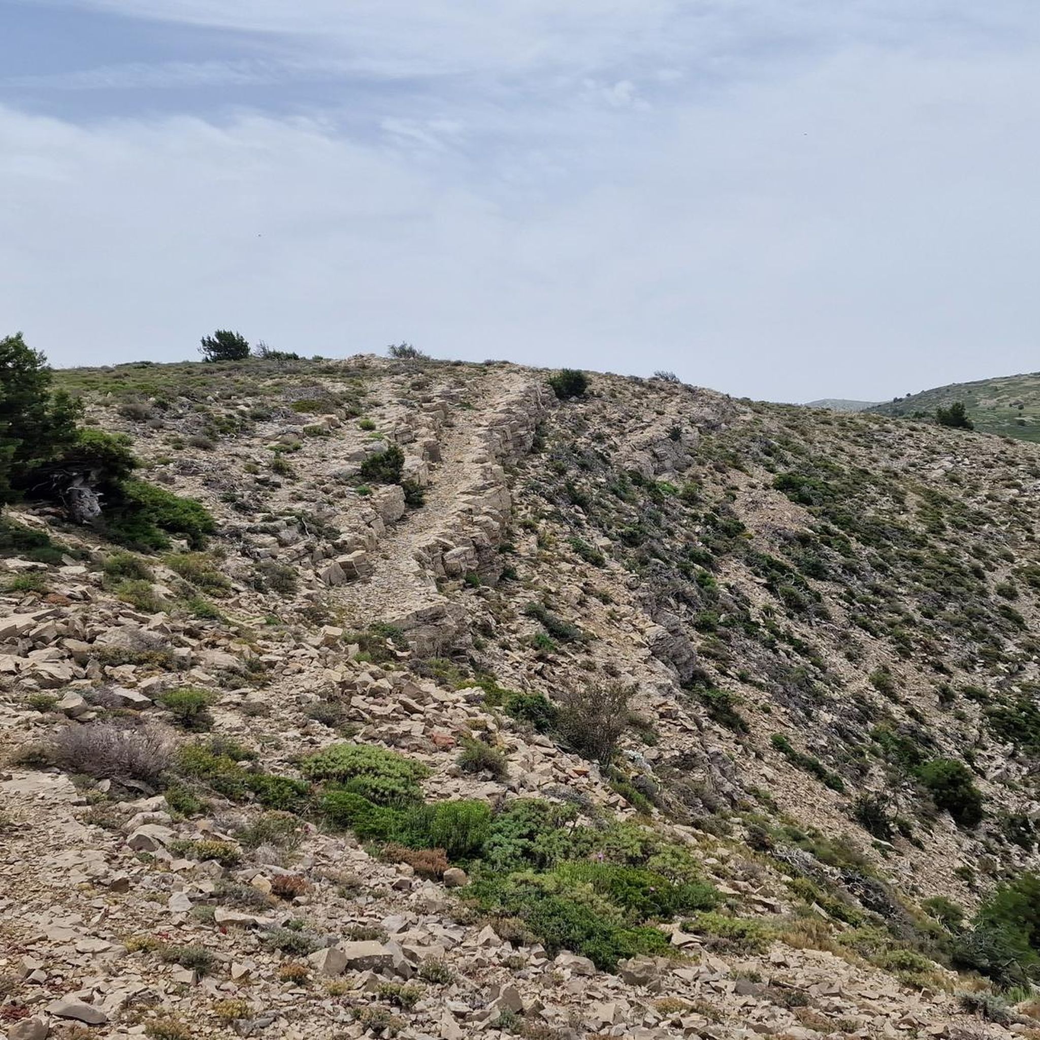
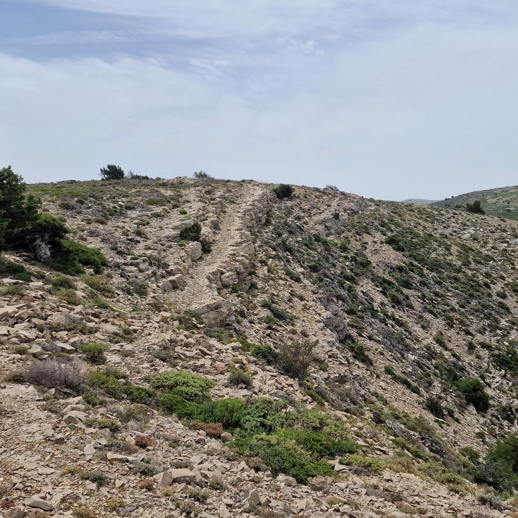
Hiking around Manzanera, located in Teruel, Aragon, offers diverse trails within the foothills of the Sierra de Javalambre mountains. The region is characterized by wooded landscapes, featuring pines, junipers, and poplar trees, providing extensive forest paths. Elevations vary, with challenging summits like Pico Javalambre reaching over 2000 meters, offering panoramic views.
Best hiking trails around Manzanera
- The most popular hiking route is Natural Spot Peñaescabia — Circular from El Molinar, a 2.4 miles (3.8 km) trail that takes 1…
Last updated: June 28, 2026
2.0
(1)
2
hikers
3.80km
01:04
70m
70m
Easy hike. Great for any fitness level. Easily-accessible paths. Suitable for all skill levels.
3
hikers
9.18km
03:14
510m
510m
Moderate hike. Good fitness required. Easily-accessible paths. Suitable for all skill levels.

Sign up for free
4
hikers
20.1km
06:47
970m
970m
Hard hike. Very good fitness required. Easily-accessible paths. Suitable for all skill levels.
5.0
(2)
2
hikers
6.23km
01:43
100m
100m
Easy hike. Great for any fitness level. Easily-accessible paths. Suitable for all skill levels.
11
hikers
15.0km
04:46
580m
580m
Moderate hike. Good fitness required. Easily-accessible paths. Suitable for all skill levels.
Get access to more routes and recommendations from other explorers.
Sign up for free
Already have an account?
Our route recommendations are based on thousands of hikes, rides, and runs completed by other people on komoot.
Start today with a free account
Your next adventure awaits.
Login or Signup

Tips from the Community

The Rabadá and Navarro refuge is located in the heights of the Javalambre mountain range, very close to the ski resort. It has a capacity of 74 beds and offers blankets, heating, hot showers, food service and a bar.
1
0

The summit is 2019 meters high. The path is demanding, but it is worth the effort. The panoramic views of the surrounding mountains are like something out of a movie.
2
0


We are at Pico Javalambre at an altitude of 2,019 meters, considered a sacred mountain by many nature lovers and/or Turolenses. It is the highest peak of the mountain range that bears his name, it is considered by the majority of Teruel residents to be the roof of their province, although the true roof of Teruel is the top of Peñarroya. If we have the opportunity to climb here when there is no snow, we will be able to appreciate the so-called "leopard skin" caused by the vegetation on the entire surface of the massif, a work of art of nature!
2
0

The Javalambre Peak at 2,019 m is the highest in the mountain range that bears its name. It is considered by the majority of Teruel residents to be the roof of their province, although the true roof of Teruel is Peñarroya. At the top of Pico Javalambre, in addition to the enormous antenna that helps you orient yourself but destroys the landscape, there are other smaller antennas, apart from a track that reaches the same summit, some ski slopes next to it. All this spoils the beautiful surrounding landscape quite a bit.
1
0

A very privileged site with amazing views on all sides, chosen by many athletes to challenge the demanding climb. The peak of Picón del Buitre is located at 1956 meters above sea level and was chosen to build the Astronomical Observatory given its remote location, altitude and low light pollution.
2
0
For many a sacred mountain and undoubtedly a reference of the province of Teruel. The top of Javalambre at 2019 masl offers very nice views in all directions. A few km away is the Javalmabre ski station, a very popular place in the winter season and from where you can start the ascent to the summit. If you go up here when there is no snow, you will be able to appreciate the curious "leopard skin" caused by the vegetation over the entire large area of the massif, a work of art of nature!
3
0
In the middle of the Sierra de Javalambre at 1360 meters above sea level is this picturesque town typical of the interior of Teruel. It has a valuable historical, cultural and gastronomic heritage that you have to discover in addition to offering several hiking tours in the area.
3
0
Frequently Asked Questions
How many hiking trails are available around Manzanera?
Manzanera offers a good selection of hiking opportunities, with over 15 routes available. These trails cater to various skill levels, from easy forest walks to more challenging mountain ascents.
What kind of terrain can I expect on hikes in Manzanera?
The terrain around Manzanera is primarily characterized by wooded landscapes, featuring abundant pines, junipers, and poplar trees. You'll find extensive forest paths, but also mountain foothills and varied elevations, especially as you approach the Sierra de Javalambre.
Are there any easy hikes suitable for beginners or families in Manzanera?
Yes, Manzanera has several easy hikes perfect for beginners or families. For example, the Natural Spot Peñaescabia — Circular from El Molinar is a gentle 2.4-mile route that explores a natural spot with varied flora. Another accessible option is the Torrijas - circular route on the Cholesterol Route, which is just over 6 km with minimal elevation gain.
Can I find challenging hikes with significant elevation gain in Manzanera?
Absolutely. For those seeking a challenge, the region offers routes with substantial elevation gain, particularly towards the Sierra de Javalambre. The Pico del Buitre Circular Trail is a demanding 12.5-mile route through mountainous terrain, involving nearly 1000 meters of ascent. The area also features challenging summits like Pico Javalambre, reaching over 2000 meters.
Are there any circular hiking routes in Manzanera?
Yes, many of the trails in Manzanera are circular, allowing you to start and end at the same point. Examples include the easy Natural Spot Peñaescabia — Circular from El Molinar and the more strenuous Javalambre – circular from Javalambre Station via Rabadá y Navarro Refuge.
What notable natural features or landmarks can I see while hiking in Manzanera?
Hikers in Manzanera can explore several interesting natural features and landmarks. You can reach the summit of Pico Javalambre for panoramic views, or discover the unique Red earth formations. The Ojos Negros Greenway, a former railway line, also passes through the area, offering a different kind of scenic route.
Is Manzanera a dog-friendly hiking destination?
While specific regulations for dogs on trails can vary, the natural, wooded landscapes and extensive forest paths around Manzanera generally make it a welcoming area for dog owners. It's always recommended to keep dogs on a leash, especially in areas with wildlife or livestock, and to check local signage for any specific restrictions.
What is the best time of year to go hiking in Manzanera?
The best time to hike in Manzanera largely depends on your preference. Spring and autumn offer pleasant temperatures and vibrant scenery, with wildflowers in spring and colorful foliage in autumn. Summer can be warm, but the wooded trails provide shade, and higher elevations offer cooler air. Winter hiking is possible, especially on lower trails, but higher mountain routes may require appropriate gear for snow and ice.
Are there options for public transport to reach hiking trails in Manzanera?
Manzanera is a smaller municipality in a rural area, so public transport options directly to trailheads might be limited. It's generally advisable to travel by car to access the various hiking routes. However, some local bus services might connect Manzanera with larger towns, from which you could potentially arrange further transport.
Where can I find parking near the hiking trails in Manzanera?
Parking availability varies by trailhead. For popular routes or those starting from villages like El Molinar, you can often find designated parking areas or roadside parking. When planning your hike, it's a good idea to check the starting point of your chosen route on komoot for specific parking information or suggestions from other hikers.
What do other hikers say about the trails in Manzanera?
The trails in Manzanera are highly rated by the komoot community, with an average score of 3.7 stars from over 10 reviews. Hikers often praise the diverse wooded landscapes, the peaceful atmosphere, and the variety of routes available for different fitness levels.
Can I find facilities like picnic areas or campsites near the trails?
Yes, there are facilities available for hikers in the Manzanera area. For instance, the Albentosa Picnic Area offers a scenic spot to rest and enjoy views of an impressive ravine and viaduct. There's also the Palancar Station Campsite for those looking to extend their stay in nature.
Are there any specific peaks or viewpoints worth hiking to in Manzanera?
Definitely. The region is known for its mountain scenery. You can hike to Pico Javalambre, one of the highest points in the Sierra de Javalambre, for expansive views. Another notable viewpoint is the View from Cerro del Enebral, offering great perspectives of the surrounding landscape.
Most popular routes around Manzanera
Most popular attractions around Manzanera

Get inspired with the komoot mobile app


Explore more
Browse the best Hikes in other regions.
