The best cycling routes around Pina De Montalgrao
4.5
(89)
931
riders
52
rides
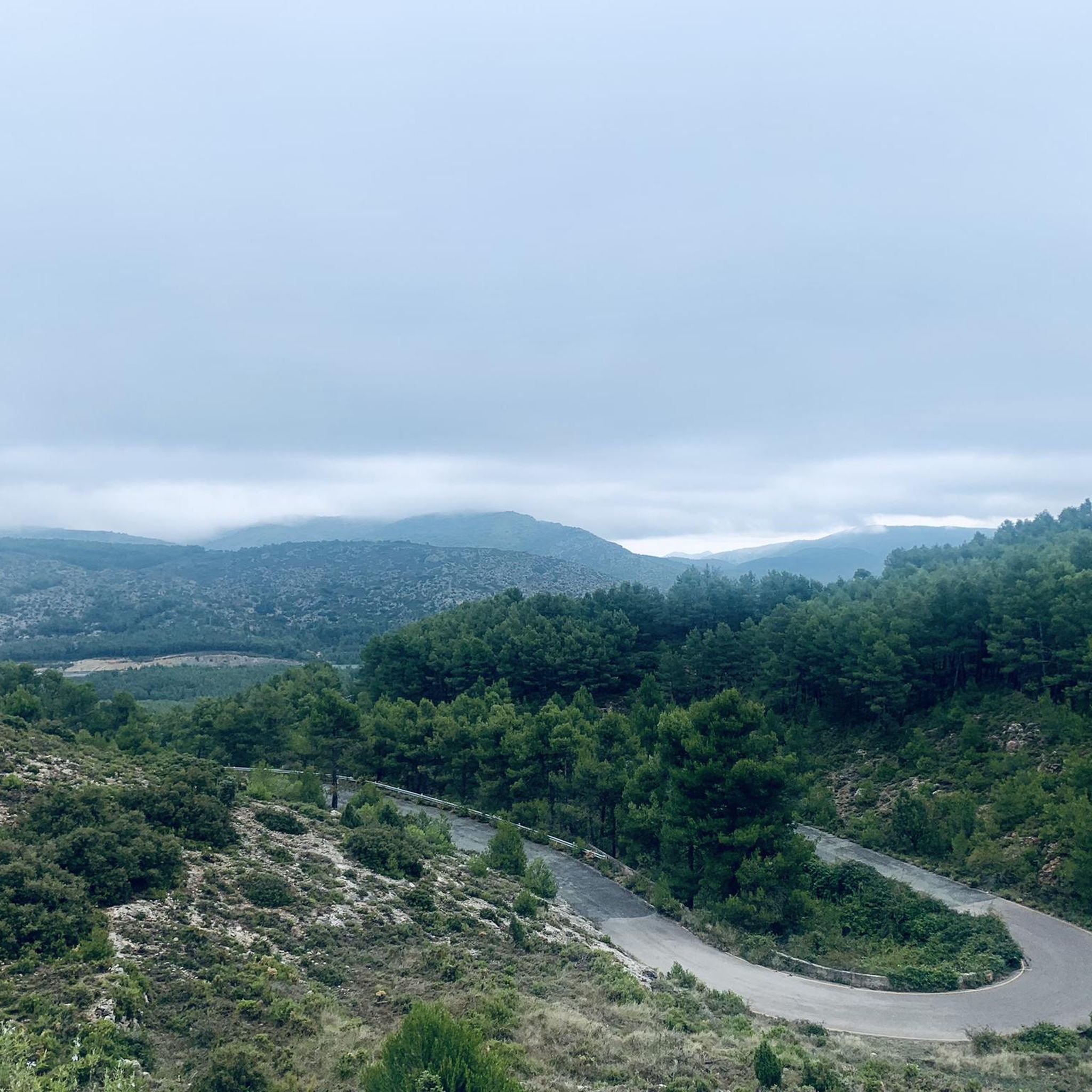
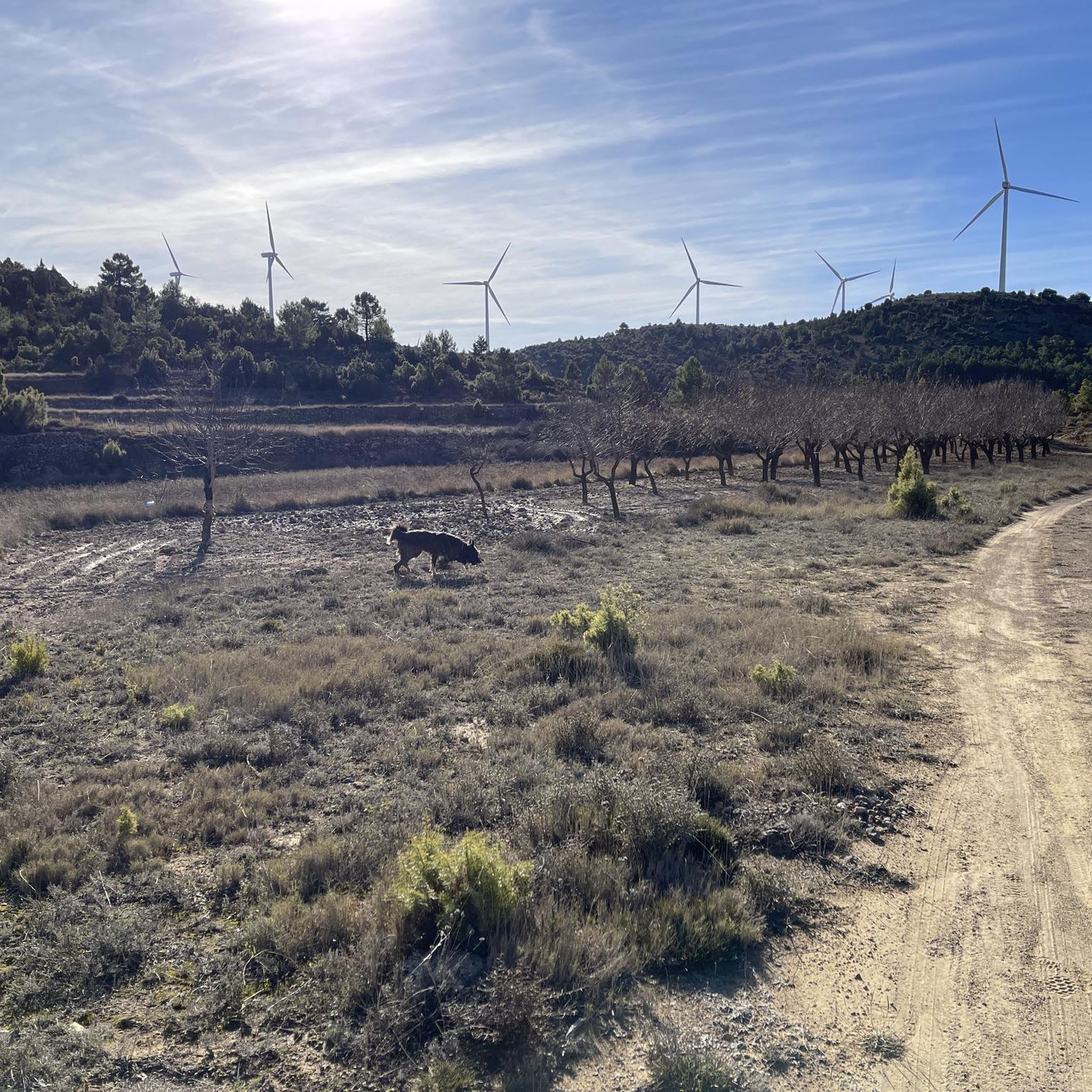
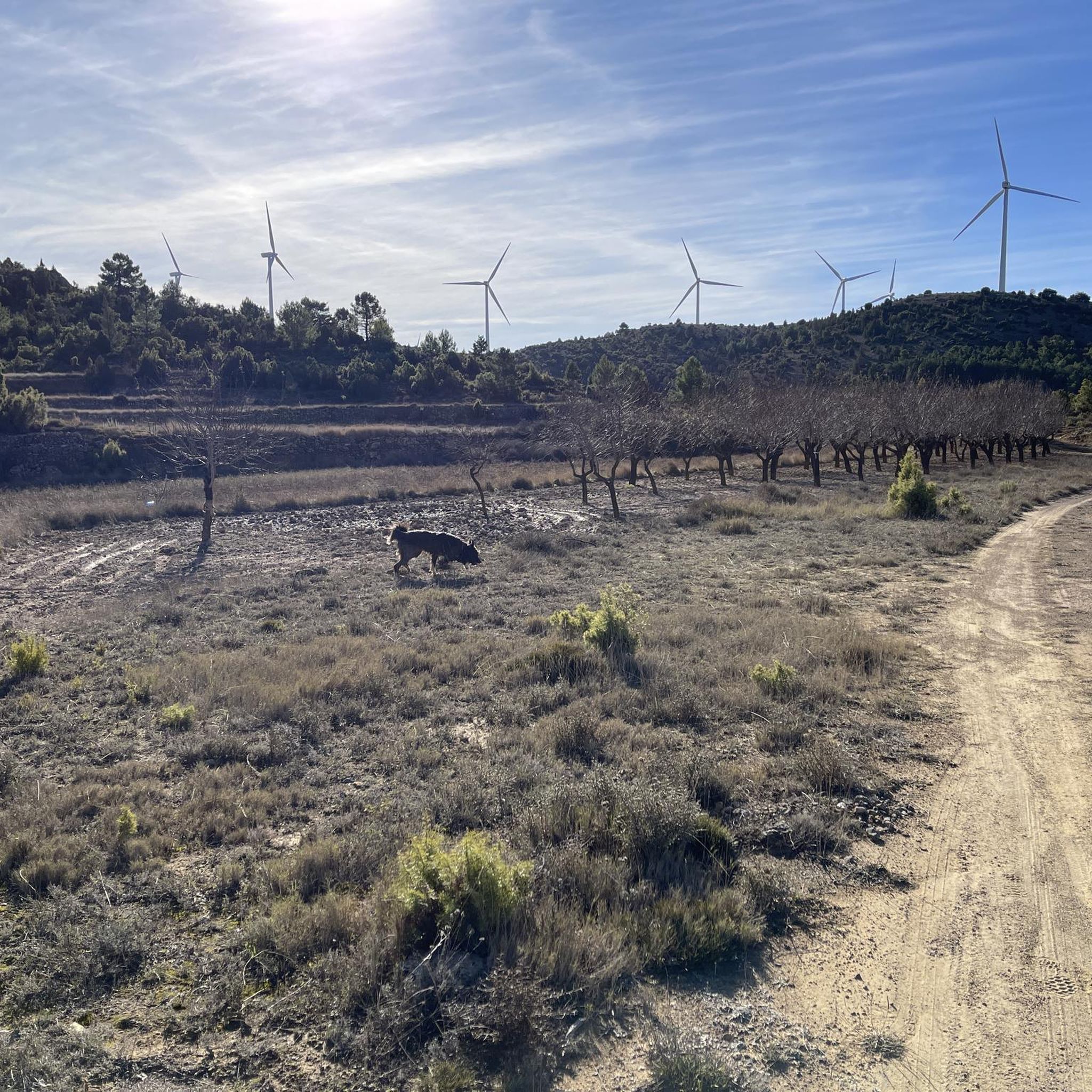
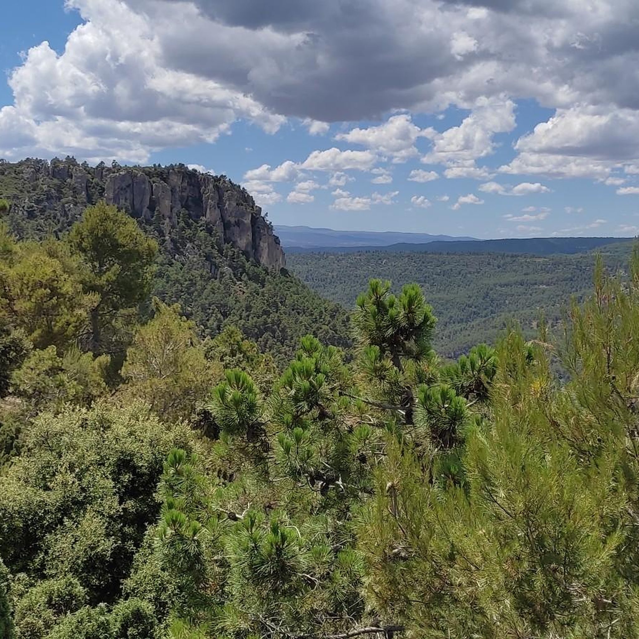
Touring cycling routes around Pina de Montalgrao traverse a diverse landscape within the Sistema Ibérico mountains, specifically at the foot of the Sierra de Espina. Situated at over 1,000 meters above sea level, the region features challenging climbs, rewarding descents, and extensive pine forests. Cyclists encounter varied topography, including ravines and areas of dry crops, providing a dynamic riding experience.
Best touring cycling routes around Pina De Montalgrao
- The most popular touring cycling route is Albentosa Picnic Area – Red…
Last updated: June 28, 2026
4.5
(25)
171
riders
114km
07:06
890m
890m
Hard bike ride. Very good fitness required. Mostly paved surfaces. Suitable for all skill levels.
27
riders
121km
08:36
2,170m
2,170m
Hard bike ride. Very good fitness required. Mostly paved surfaces. Suitable for all skill levels.

Sign up for free
5.0
(2)
18
riders
30.9km
03:36
1,320m
1,330m
Hard bike ride. Very good fitness required. Mostly paved surfaces. Suitable for all skill levels.
5.0
(1)
11
riders
63.5km
04:13
910m
910m
Hard bike ride. Very good fitness required. Mostly paved surfaces. Suitable for all skill levels.
4.0
(2)
12
riders
27.8km
01:53
460m
460m
Hard bike ride. Very good fitness required. Mostly paved surfaces. Suitable for all skill levels.
Get access to more routes and recommendations from other explorers.
Sign up for free
Already have an account?
Our route recommendations are based on thousands of hikes, rides, and runs completed by other people on komoot.
Start today with a free account
Your next adventure awaits.
Login or Signup

Tips from the Community

There are several points from which you can access the water. The most recommended is just past Puebla de Arenoso, the town that gives its name to the reservoir, not Montanejos.
0
0
More than a campsite, I'd say it's a recreational area for picnicking. It has children's games, a water fountain, and tables.
1
0
There is a charge for admission during peak months (summer), and there is also a charge for parking. Check the municipal website for rates.
1
0

Pools in the river, crowded
0
0

It is worth climbing Santa Barbara Peak for its impressive views.
0
0

There are several rural houses and accommodations. It is not just a village next to a national highway, it has a peculiar charm of a moorland village. A street runs through the whole town, if you look carefully you will guess many of its people and its history. It grew and now it is retreating.
1
0

Beautiful village with wonderful bathing spots
1
0

Frequently Asked Questions
How many touring cycling routes are available around Pina De Montalgrao?
There are over 50 touring cycling routes in the Pina De Montalgrao area, offering a wide range of options for exploring the diverse landscape. These routes traverse the Sistema Ibérico mountains and the Sierra de Espina, providing varied topography and extensive pine forests.
What are the difficulty levels of touring cycling routes in Pina De Montalgrao?
The routes around Pina De Montalgrao cater to various skill levels. You'll find 5 easy routes, 15 moderate routes, and 32 difficult routes, ensuring options for beginners looking for a gentle ride and experienced cyclists seeking a challenge through the mountainous terrain.
Are there any circular touring cycling routes in the region?
Yes, many routes in Pina De Montalgrao are designed as loops, allowing you to start and finish in the same location. For example, the challenging Albentosa Picnic Area – Red Plain loop from Barracas covers 70.7 miles (113.8 km) and offers expansive views, while the Villanueva de Viver loop from Villanueva de Viver is a shorter 19.2 miles (30.9 km) option through rural landscapes.
What natural features can I expect to see along the cycling routes?
Pina de Montalgrao is rich in natural beauty. Cyclists will encounter extensive pine forests, ravines, and dry crops. The region is also known for its numerous natural springs, such as Fuentevieja and La Marrionda Fountain, which can provide refreshing stops. The mountainous terrain, including the Sierra de Espina, offers rewarding descents and panoramic views.
Are there any historical or cultural landmarks to explore while cycling?
Yes, the area offers several historical and cultural points of interest. You might pass by the 17th-century porticoed Town Hall, the Ethnological Museum, or the ancient Moorish oven. The 15th-century Church of El Salvador and the Torre del Prospinal, a Site of Cultural Interest dating back to the 3rd century BC, also add cultural depth to your tour. For a glimpse into the region's past, consider visiting the remnants of the Arab castle.
What are some notable attractions near the touring cycling routes?
Beyond the routes themselves, you can explore several nearby attractions. The Estrechos de Chillapájaros and Mijares River Narrows offer stunning gorge scenery. You could also visit the charming settlement of Montanejos or the Fuente de los Baños - Montanejos Lake for a refreshing stop.
What is the best time of year for touring cycling in Pina De Montalgrao?
Pina de Montalgrao, situated at over 1,000 meters above sea level, offers a serene environment. While specific seasonal advice isn't provided, the varied topography and extensive pine forests suggest pleasant conditions during spring and autumn, avoiding the peak heat of summer or potential winter snow at higher elevations. The changing landscapes through the seasons make it a recommendable visit for nature lovers.
What do other touring cyclists enjoy most about cycling in Pina De Montalgrao?
The touring cycling routes in Pina De Montalgrao are highly rated by the komoot community, with an average score of 4.5 stars from over 70 reviews. Cyclists often praise the challenging ascents, rewarding descents, and the expansive views across the mountainous terrain. The diverse landscape, including extensive pine forests and natural springs, also contributes to a dynamic and engaging riding experience.
Are there any routes that pass by water features or springs?
Yes, the municipality is home to many natural springs. While specific routes aren't named for passing them, you can look for routes that traverse areas known for Fuentevieja, El Ballestero Fountain, and La Marrionda Fountain, which is situated at 1,200 meters with spectacular views. These springs offer refreshing stops along your journey.
Can I find routes that offer a mix of natural beauty and historical sites?
Absolutely. Many routes in Pina de Montalgrao weave through both the natural landscape and historical areas. You can plan your ride to include sections through pine forests and ravines, and also pass by sites like the 17th-century Town Hall or the remnants of the Arab castle, offering a rich blend of outdoor activity and cultural exploration.
Is there a route that explores the Montanejos Hot Springs area?
Yes, the Montanejos Hot Springs – Arenos Reservoir loop from Montán is a 27.8 km (17.3 miles) route that takes you through this scenic area, allowing you to experience the natural beauty around the hot springs and reservoir.
What kind of terrain should I expect on the more difficult routes?
The more difficult routes, such as the 75.2 miles (121.1 km) Red earth – Albentosa Picnic Area loop from Barracas, involve significant elevation changes. You should expect challenging climbs and rewarding descents through varied topography, including extensive pine forests and mountainous sections, requiring good physical condition and cycling experience.
Most popular routes around Pina De Montalgrao
Most popular attractions around Pina De Montalgrao

Get inspired with the komoot mobile app


Explore more
Browse the best Cycling routes in other regions.
