The best road cycling routes around Segura De Toro
4.4
(17)
1,503
riders
41
rides
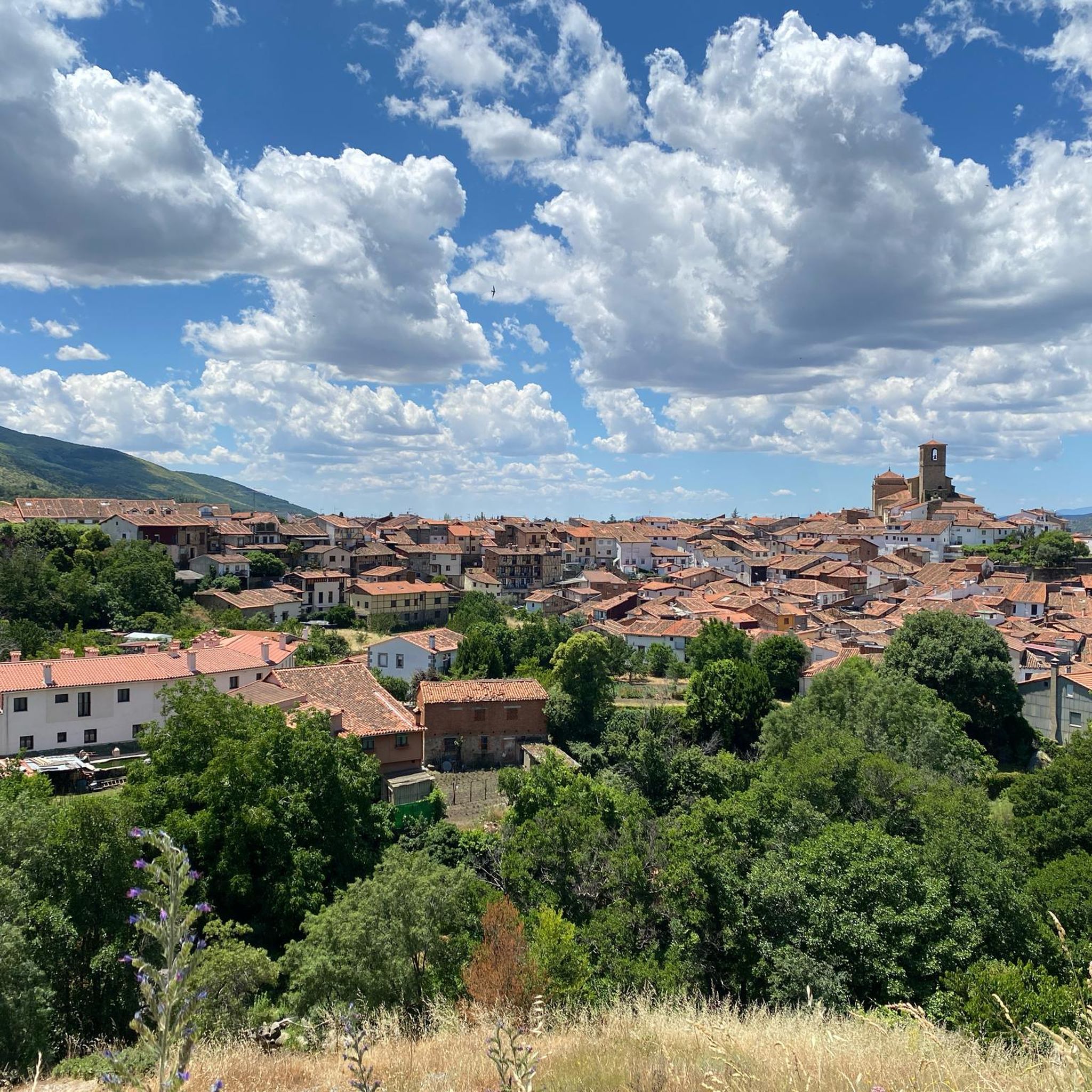
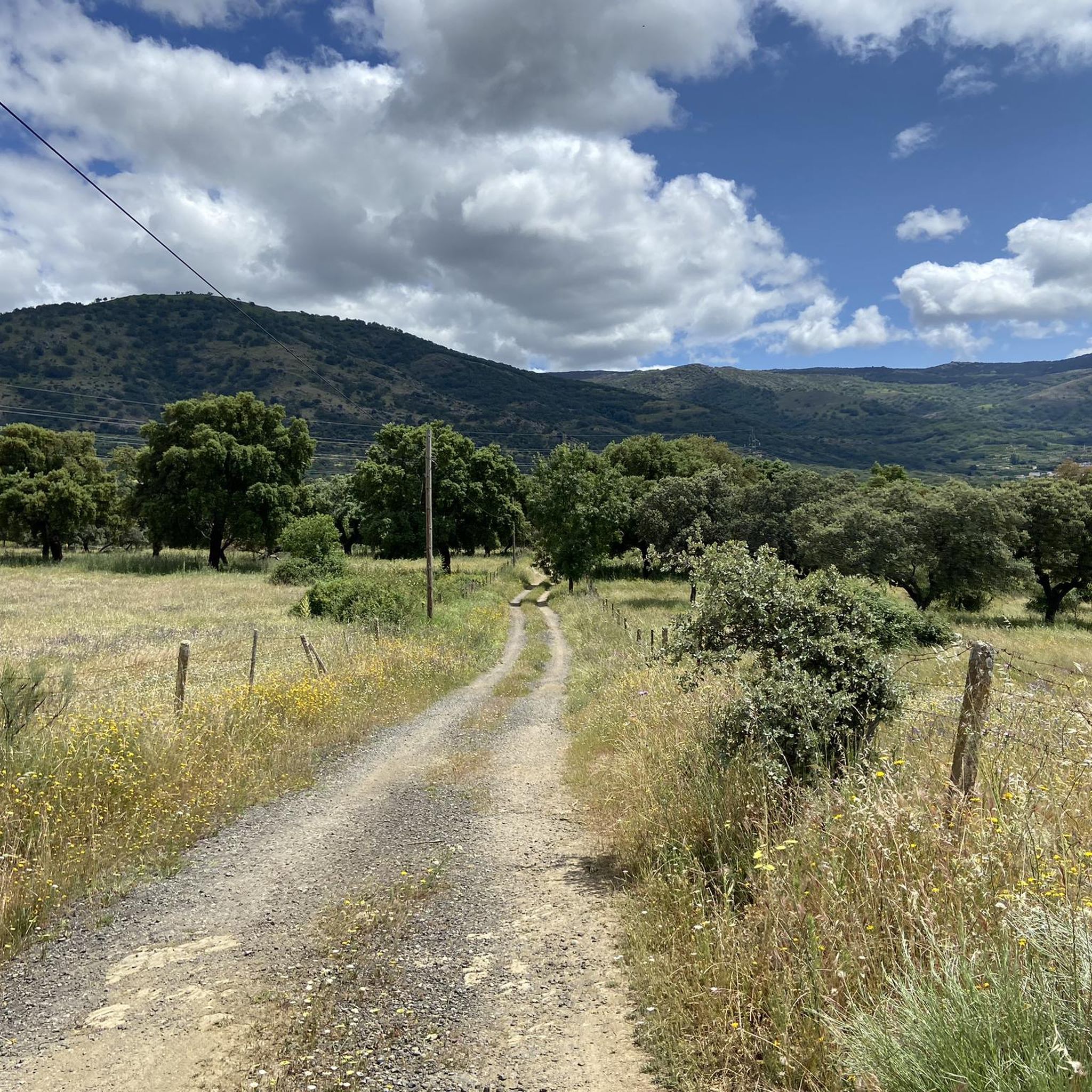
Road cycling routes around Segura De Toro are situated in the mountainous terrain of the Tras la Sierra range, within the Ambroz Valley. The region features significant elevation changes, with the village itself at 715 meters and surrounding peaks reaching up to 1,820 meters. The landscape is characterized by extensive chestnut and oak forests, interspersed with streams and natural pools. This environment provides varied road cycling opportunities across diverse natural features.
Best road cycling routes around Segura De Toro
- The…
Last updated: July 11, 2026
4.3
(3)
89
riders
43.2km
02:33
1,050m
1,050m
Hard road ride. Very good fitness required. Mostly well-paved surfaces and easy to ride.
3.5
(2)
90
riders
78.5km
03:52
970m
970m
Hard road ride. Very good fitness required. Some segments of this route may be unpaved and difficult to ride.

Sign up for free
70
riders
59.2km
03:12
980m
980m
Hard road ride. Very good fitness required. Some segments of this route may be unpaved and difficult to ride.
5.0
(1)
47
riders
77.0km
04:23
1,600m
1,600m
Hard road ride. Very good fitness required. Some segments of this route may be unpaved and difficult to ride.
5.0
(1)
31
riders
59.0km
03:13
1,090m
1,090m
Hard road ride. Very good fitness required. Some segments of this route may be unpaved and difficult to ride.
Get access to more routes and recommendations from other explorers.
Sign up for free
Already have an account?
Our route recommendations are based on thousands of hikes, rides, and runs completed by other people on komoot.
Start today with a free account
Your next adventure awaits.
Login or Signup

Tips from the Community

Hervás is one of the founders of the Network of Jewish Quarters of the Sephardic Route and is also part of the Cooperation Network of the Silver Route.
17
0
Hervás has beautiful architectural heritage such as the Davila palace, a parish church, the convent of the Trinitarian fathers etc. The largest collection of classic motorcycles in Europe!
14
0
Usually cozy here, but today deserted.
9
0

Very close to the Béjar Greenway, ideal for cyclists and hikers who follow the old railway line. Cuisine: Mediterranean and Spanish, with grilled meats, tapas, and traditional dishes. Specialties: Grilled meats (T-bone steak, Iberian pork shoulder). Burgers (including Wagyu). A variety of tapas, croquettes, and salads. Fresh fish and homemade stews.
7
0

17 kilometers of mountain pass (on both sides, Ambroz Valley from Hervás or Jerte Valley from Cabezuela del Valle). From Cabezuela del Valle, the first 12 kilometers average an average gradient of 7%, with some 10% gradients, and from the 12th kilometer onward, there are some rest stops with wonderful views. This side has a gradient of approximately 900 meters, up to 1,430 meters.
0
0

Easy bike ride. Beautiful nature and views. Hervas is a nice and beautiful city. Bike path on old railway line easily passable. Tunnel was lit (but slippery clay soil with hard grooves, so be careful).
2
0

The Plasencia Aqueduct or the Arches of San Antón is not of Roman origin as many Placentines believe, but rather dates back to the 16th century and was built by the great architect Juan de Flandes. 55 arches are preserved from it and with it the Muslim clay pipe that carried water from the Cabezabellosa and El Torno mountains was replaced. in https://plasenciaturismo.es/acueducto
1
0

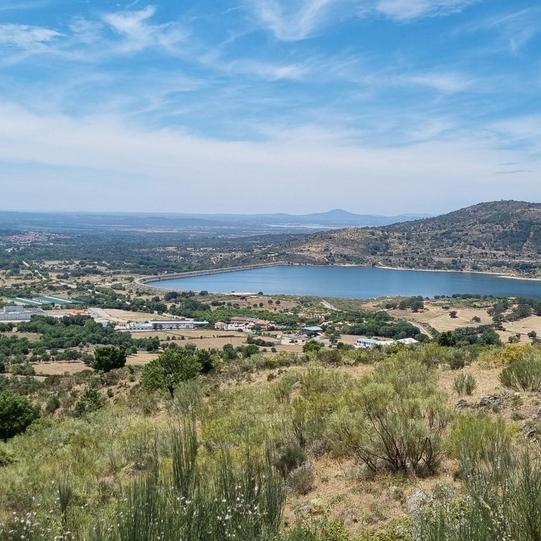
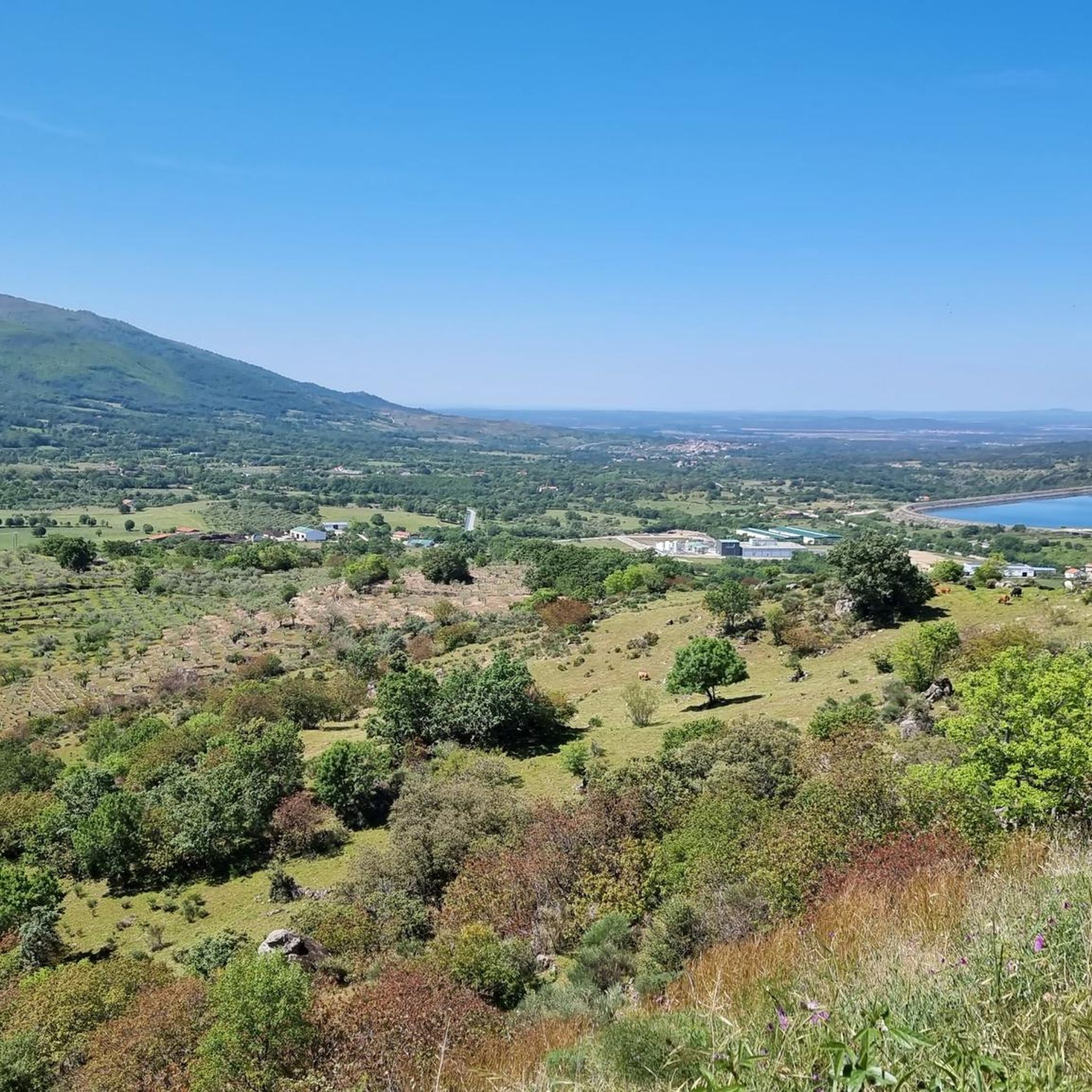
Located in the north of the province of Cáceres, the port of Honduras provides spectacular views of the two large valleys it connects: the Ambroz valley and the Jerte valley. From both Gargantilla and Cabezuela del Valle, hikers can avoid the road and crown this pass along trails and dirt tracks that are part of the GR 10.
0
0
Frequently Asked Questions
What is the typical terrain and difficulty level for road cycling routes around Segura de Toro?
The region around Segura de Toro, nestled in the Tras la Sierra mountains within the Ambroz Valley, features a steep and mountainous relief. You can expect significant elevation changes, with the village itself at 715 meters and surrounding peaks reaching up to 1,820 meters. Routes range from easy to difficult, with 24 out of 42 routes classified as difficult, offering challenging ascents and descents through varied landscapes.
Are there road cycling routes suitable for beginners or those seeking easier rides?
Yes, while the area is known for its mountainous terrain, there are options for all skill levels. Out of the 42 road cycling routes available, 5 are classified as easy and 13 as moderate, providing less strenuous options for beginners or those looking for a more relaxed ride through the scenic Ambroz Valley.
What natural features or landmarks can I expect to see while road cycling in the Segura de Toro area?
Road cycling routes in this region often pass through extensive chestnut and oak forests. You might also encounter refreshing streams and natural pools, such as those along Garganta Ancha. Notable natural attractions include the ancient 'Castaños Centenarios del Temblar' – a group of 500-800 year old chestnut trees. For specific natural highlights, consider exploring areas near the Nogaleas Waterfalls or the Caozo Waterfall.
Can I combine my road cycling trip with visits to historical sites?
Absolutely. Segura de Toro boasts a rich historical heritage. You can explore the Vettone 'verraco' in the Plaza Mayor, remnants of a 13th-century Templar Castle, and traditional architecture including 'chozos de piedra'. The 15th-century San Juan Parish Church is also a notable historical landmark within the village.
What is the best time of year for road cycling in Segura de Toro?
The Ambroz Valley's lush forests and pastures provide refreshing air, making it pleasant for cycling. While specific seasonal advice isn't detailed, the presence of natural pools suggests warmer months could be enjoyable for combining cycling with a refreshing dip. However, the mountainous terrain means conditions can vary, so checking local weather before your ride is always recommended.
Are there many circular road cycling routes available in Segura de Toro?
Yes, many of the road cycling routes in the area are designed as loops. For example, the Puerto de Honduras – Honduras Pass loop from Gargantilla and the Honduras Pass – Puerto de Honduras loop from Aldeanueva del Camino are popular circular options, allowing you to start and finish in the same location.
Where can I park my car when starting a road cycling route in Segura de Toro?
While specific parking locations for each trailhead are not detailed, Segura de Toro is a village that actively promotes cycle tourism. It's generally advisable to look for designated parking areas within the village or at the starting points of popular routes. Nearby towns like Gargantilla and Aldeanueva del Camino, which serve as starting points for several routes, also typically offer parking facilities.
Are there places to eat or stay that cater to cyclists in Segura de Toro or nearby towns?
The Ambroz Valley actively promotes cycle tourism, and Segura de Toro is a picturesque village. It's likely that local establishments in Segura de Toro and nearby towns such as Hervás and Aldeanueva del Camino offer services and amenities suitable for cyclists, including cafes and accommodation. The region also offers bike rental services.
What do other road cyclists enjoy the most about road cycling in Segura de Toro?
The road cycling routes around Segura de Toro are highly rated by the komoot community, with an average score of 4.5 stars from over 10 reviews. More than 1,500 road cyclists have used komoot to explore the varied terrain. Reviewers often praise the mountainous landscapes, dense chestnut and oak forests, and the diverse natural features that define the cycling experience here.
Are there any specific viewpoints offering impressive scenery along the road cycling routes?
Segura de Toro itself, situated at an altitude of 715 meters on the slopes of the Tras la Sierra mountains, acts as a natural viewpoint, offering impressive views of the valley. Many routes will naturally provide panoramic vistas as you navigate the mountainous terrain and ascend to higher elevations, particularly around passes like Puerto de Honduras.
How many road cycling routes are available in the Segura de Toro area?
There are over 40 road cycling routes available around Segura de Toro on komoot, offering a wide range of options for different skill levels and preferences. This includes 5 easy, 13 moderate, and 24 difficult routes.
Can I find long-distance road cycling routes in Segura de Toro?
Yes, the region offers several longer routes for endurance cyclists. For instance, the Plasencia Aqueduct – Aldeanueva del Camino loop from Gargantilla is a difficult 48.9 miles (78.7 km) path, and the Puerto de Béjar – Honduras Pass loop from Abadía covers 80.1 km, providing significant distances and elevation gains.
Most popular routes around Segura De Toro
Most popular attractions around Segura De Toro

Get inspired with the komoot mobile app


Explore more
Browse the best Road cycling routes in other regions.
