The best walks and hikes around Cuevas De San Clemente
4.4
(18)
88
hikers
35
hikes
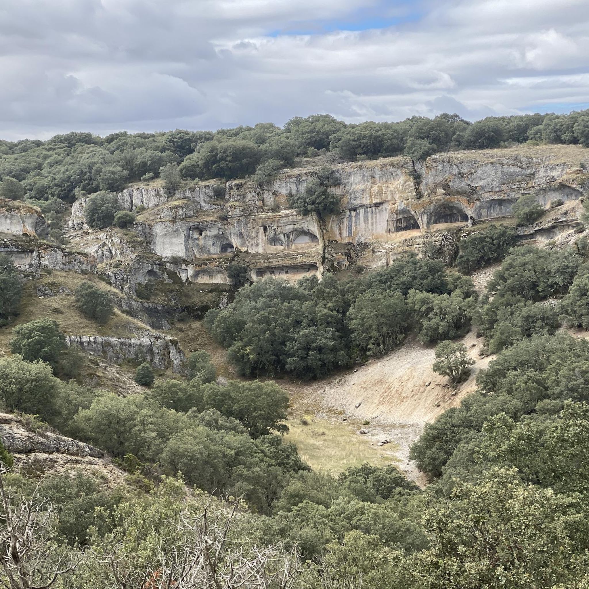
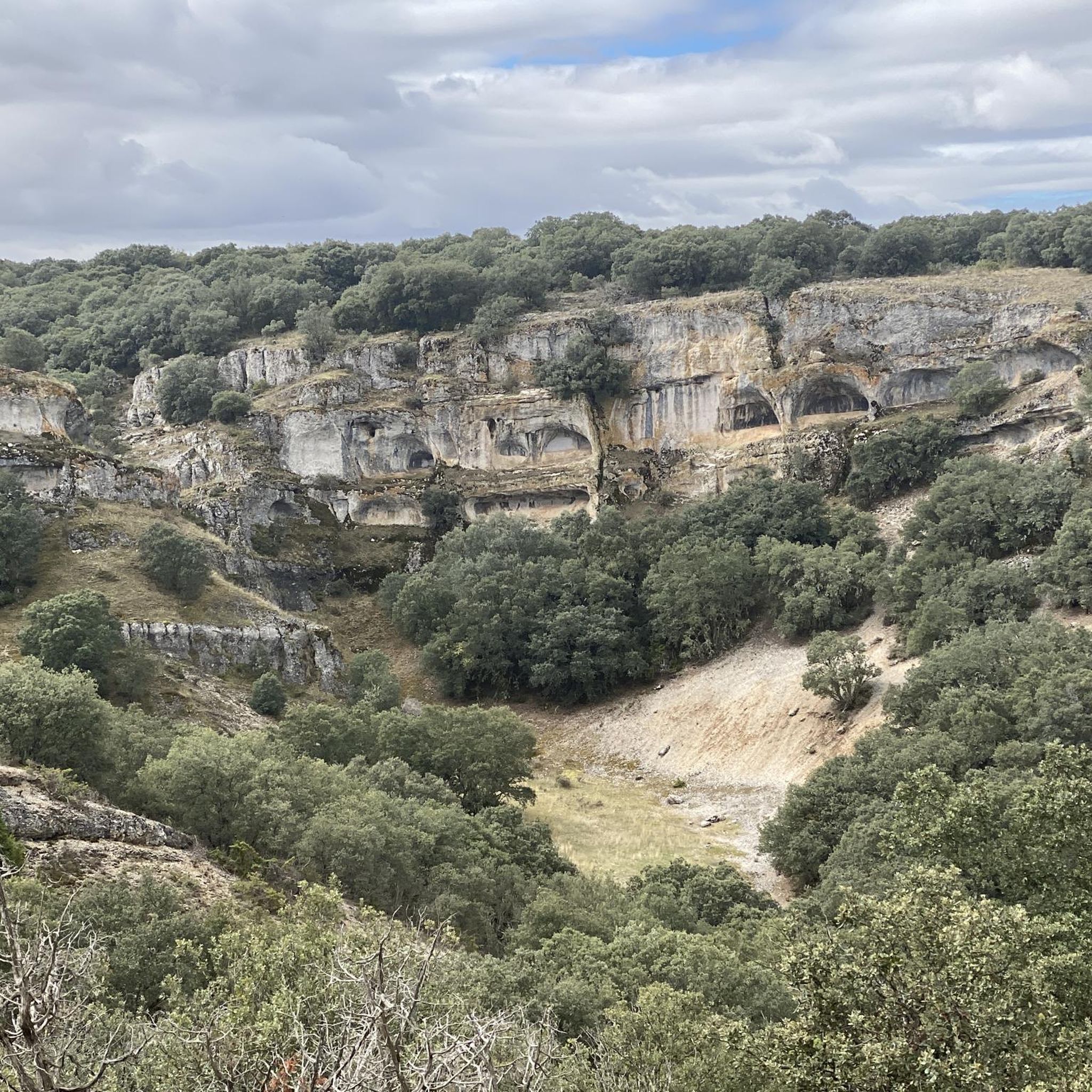
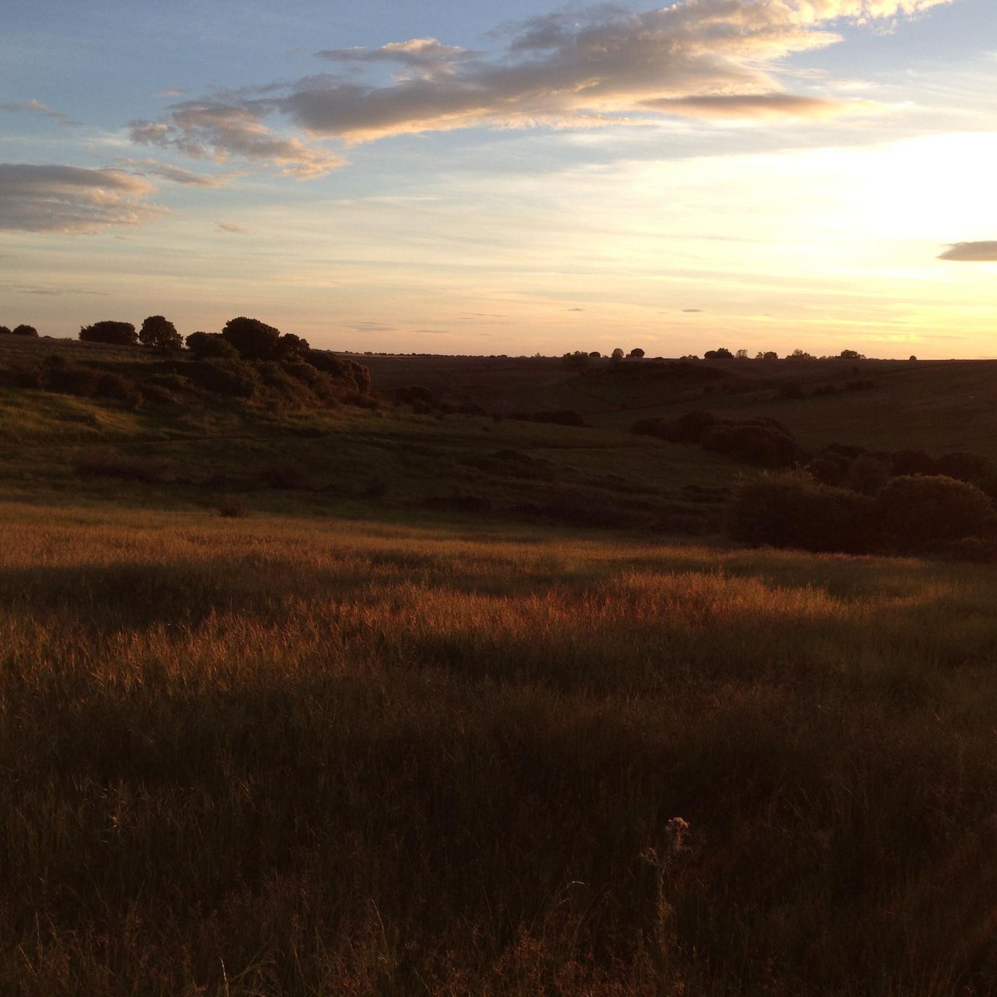
Hiking around Cuevas De San Clemente offers exploration of a diverse landscape situated between the Sierra de la Demanda and the Sabinares del Arlanza. The region is characterized by extensive juniper forests, ancient oak and pine woodlands, and dramatic geological formations including crests and gorges. Mountainous terrain, such as the Sierra de las Mamblas, provides varied elevations and panoramic views, while river valleys feature ash, alder, and willow forests.
Best hiking trails in Cuevas De San Clemente
- The most popular…
Last updated: May 27, 2026
5.0
(1)
12
hikers
14.3km
04:38
640m
640m
Moderate hike. Good fitness required. Mostly accessible paths. Sure-footedness required.
3.0
(1)
8
hikers
17.7km
04:55
330m
330m
Hike 11.0 miles (17.7 km) to explore the Peñalara massif and the ancient Dolmen of Cubillejo de Lara from Quintanilla de las Viñas.

Sign up for free
4.3
(3)
6
hikers
6.56km
01:48
110m
110m
Hike the 4.1-mile Route Museo del Carbón circular from Mecerreyes, a moderate trail featuring forests, the Charcoal Museum, and views of Mue
4.0
(1)
2
hikers
20.0km
05:42
450m
450m
Hard hike. Very good fitness required. Mostly accessible paths. Sure-footedness required.
5.0
(1)
2
hikers
9.87km
02:42
150m
150m
Hike the moderate 6.1-mile San Clemente Trail near Cuevas de San Clemente, gaining 496 feet in about 2 hours and 41 minutes.
Get access to more routes and recommendations from other explorers.
Sign up for free
Already have an account?
Our route recommendations are based on thousands of hikes, rides, and runs completed by other people on komoot.
Start today with a free account
Your next adventure awaits.
Login or Signup

Tips from the Community


The Cubillejo/Mazariegos dolmen is considered the prototype of the megalithic passage tomb and preserves, on one of the large stone blocks that form its structure, a series of interesting rock carvings.
0
0
Ideal places for mountain biking and hiking routes
0
0
Ideal places for mountain biking and hiking routes
0
0
Impressive 7th century hermitage, if you pass near Quintanilla de las Viñas or the Lara area, don't miss it.
0
0

This beautiful town is a tourist destination where we find shops, accommodation and fountains.
0
0
Frequently Asked Questions
How many hiking trails are available around Cuevas De San Clemente?
There are over 30 hiking routes in the Cuevas De San Clemente area, offering a diverse range of experiences. These include 6 easy routes, 25 moderate routes, and 2 more challenging options.
What kind of terrain can I expect on hikes in Cuevas De San Clemente?
The terrain around Cuevas De San Clemente is varied, situated between the Sierra de la Demanda and the Sabinares del Arlanza. You'll find extensive juniper forests, ancient oak and pine woodlands, and dramatic geological formations like crests and gorges. Mountainous areas such as the Sierra de las Mamblas offer varied elevations and panoramic views, while river valleys feature ash, alder, and willow forests.
Are there any easy circular routes suitable for beginners?
Yes, for an easy circular route, consider the Sendero de San Clemente (PRC-BU 216). This well-signposted 9.4 km trail starts and ends in the village, winding through the natural landscapes of the Sabinares del Arlanza, perfect for birdwatching. Another option is the Trail of the Cradle of the Good Count, a 6.6 km route through woodlands and open areas.
What are some notable natural features or landmarks to see while hiking?
The region is rich in natural beauty. You can explore the ancient juniper forests of the Sabinares del Arlanza, some with specimens over two thousand years old. Don't miss the dramatic La Yecla Gorge, a deep limestone gorge with suspended walkways. For panoramic views, hike towards Castillejo in the Sierra de las Mamblas.
Are there any historical sites or attractions near the hiking trails?
Absolutely. The area features several points of interest. You can visit the Dolmen of Cubillejo de Lara, an ancient megalithic monument. The Quintanilla de las Viñas, Peñalara, and Cubillejo Dolmen Loop route passes by historical sites. The village of Cuevas de San Clemente itself has the Parish Church of San Miguel Arcángel with a 12th-century Romanesque baptismal font. Nearby, you can also find the Historic Center of Covarrubias.
What do other hikers enjoy most about hiking in Cuevas De San Clemente?
The area is highly rated by the komoot community, with an average score of 4.4 stars. Hikers often praise the diverse landscapes, from ancient juniper forests to mountainous views, and the variety of trails suitable for different abilities. The opportunity for birdwatching and exploring unique geological formations is also frequently highlighted.
Are there any challenging hikes for experienced trekkers?
Yes, for those seeking a more challenging experience, the region offers routes with significant elevation gains. One such option is the Mirador de las Penas del Tuero por Retuerta — circular desde Covarrubias, a difficult 20 km route that takes around 5 hours and 41 minutes to complete.
Can I find routes that are part of longer-distance trails?
Yes, portions of the famous Camino del Cid, a long-distance route, coincide with trails in the area. These sections, while often used for cycling, can also be enjoyed on foot, offering views of cultivation fields, holm oak groves, and historical points of interest.
What is the best time of year to go hiking in Cuevas De San Clemente?
The region offers hiking opportunities throughout much of the year. Spring and autumn are particularly pleasant, with mild temperatures and vibrant natural colors. Summer can be warm, but higher elevation trails in the Sierra de la Demanda may offer cooler conditions. Winter hiking is possible, especially on lower elevation trails, but requires appropriate gear for potentially colder weather.
Are there any specific trails for birdwatching?
The Sabinares del Arlanza natural park, which many trails traverse, is a Special Protection Area for Birds (ZEPA). It's particularly notable for griffon vultures and Egyptian vultures. The Sendero de San Clemente (PRC-BU 216) is an excellent choice for birdwatching as it meanders through these rich natural landscapes.
Are there any trails that offer views of the Arlanzón River?
Yes, the upper valley of the Arlanzón River, with its riverside forests of ash, alder, poplar, and willow, falls within the Sierra de la Demanda region. Trails in this area will provide opportunities to experience these riparian environments and views of the river.
Most popular routes around Cuevas De San Clemente
Most popular attractions around Cuevas De San Clemente

Get inspired with the komoot mobile app


Explore more
Browse the best Hikes in other regions.
