The best walks and hikes around Villangómez
4.0
(3)
4
hikers
4
hikes
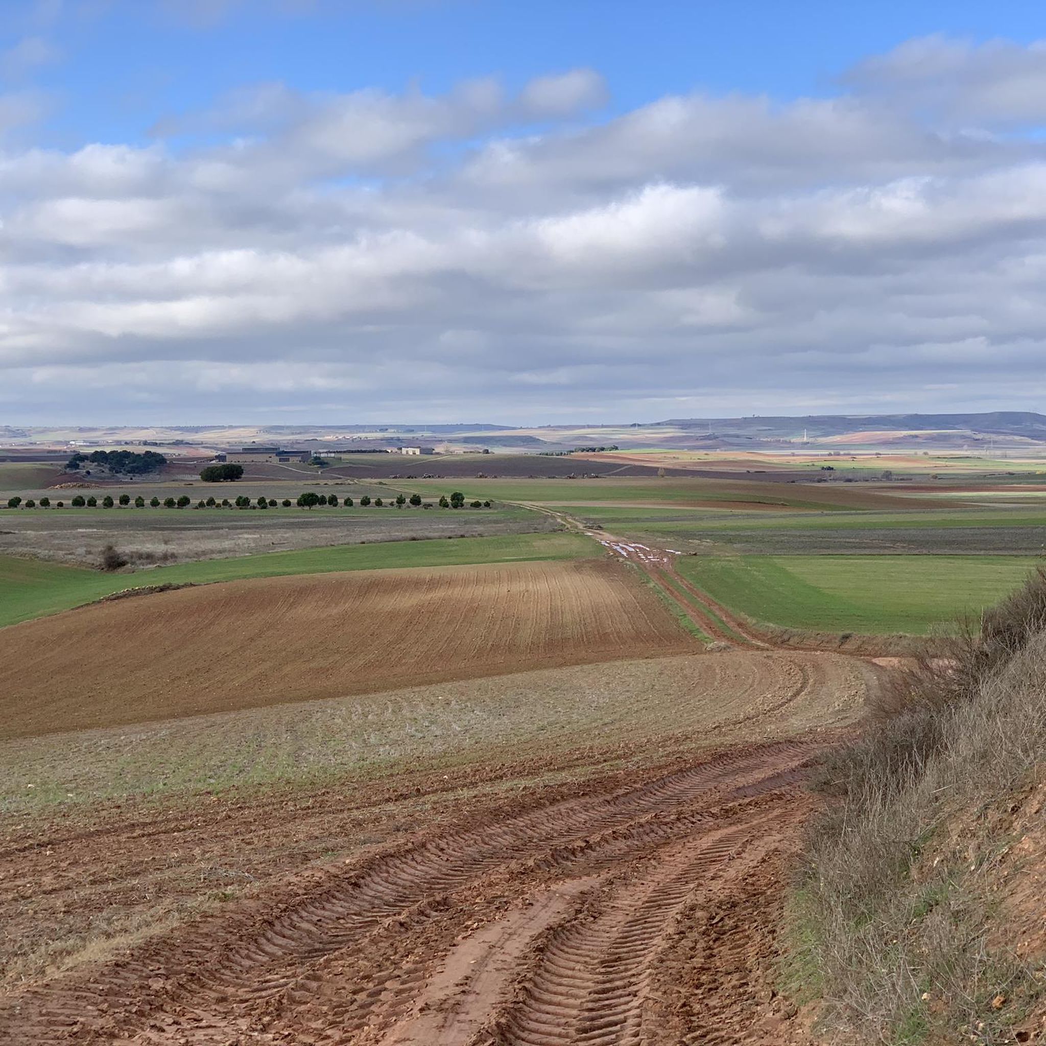
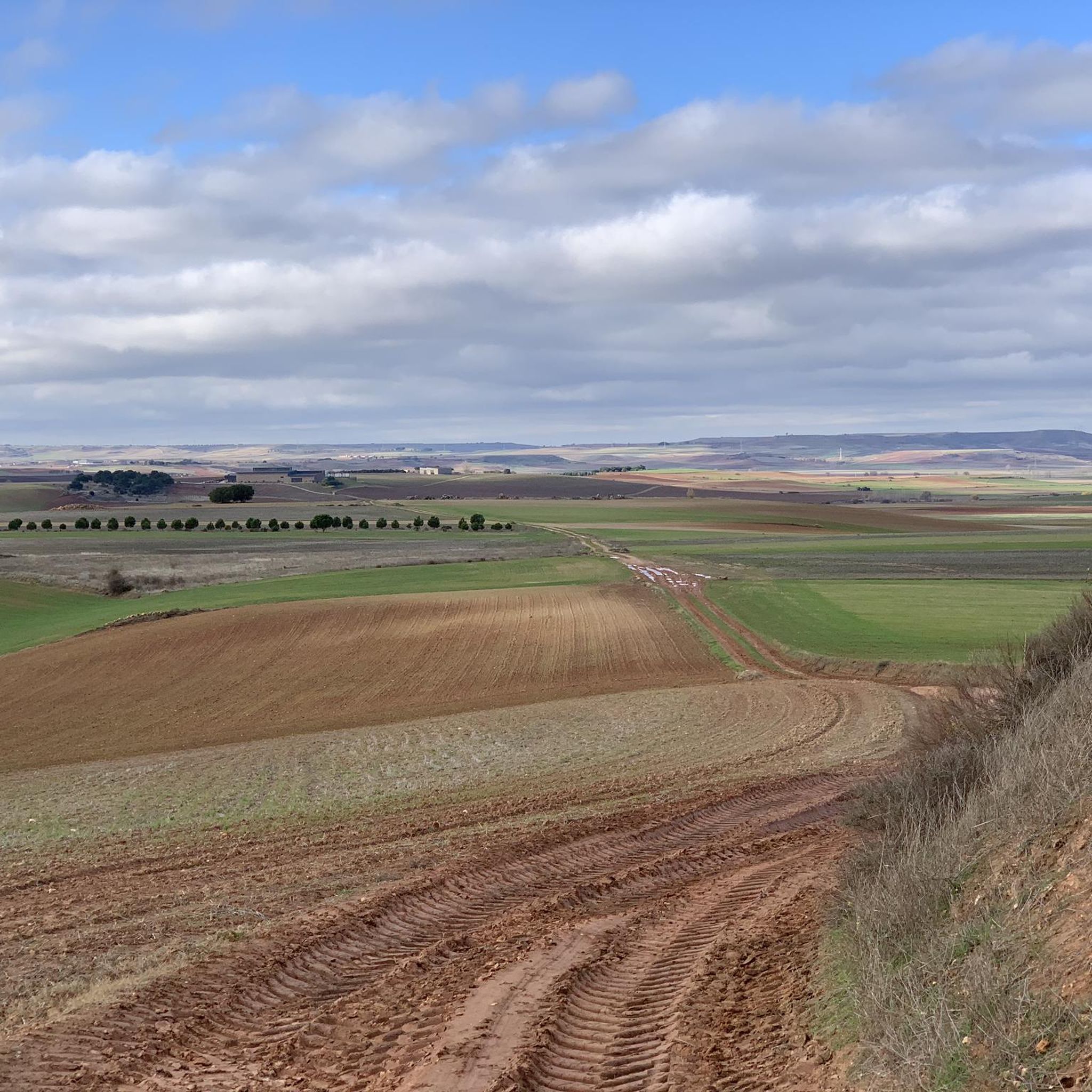
Hiking around Villangómez offers a network of trails through the rural landscape of Burgos, Spain. The region is characterized by open countryside, agricultural fields, and historical points of interest such as ancient towers and quarries. Elevation changes are generally moderate, making the area accessible for various fitness levels. The trails often connect small villages and provide views of the surrounding plains.
Best hiking trails around Villangómez
- The most popular hiking route is The two towers: Torre de Mazuelo and de…
Last updated: July 4, 2026
3.0
(1)
1
hikers
Moderate hike. Great for any fitness level. Mostly accessible paths. Sure-footedness required.
4.0
(1)
1
hikers
13.0km
03:35
210m
210m
Explore ancient stone quarries on this 8.1-mile moderate hike near Cubillo del Campo, revealing the source of Burgos Cathedral's stone.

Sign up for free
7.88km
02:07
90m
90m
Hike the moderate 4.9-mile (7.9 km) Route of Valzalamio (PRC-BU 128) from Torrecilla del Monte, exploring historic oak forests and riverside
5.0
(1)
2
hikers
Easy hike. Great for any fitness level. Easily-accessible paths. Suitable for all skill levels.
Our route recommendations are based on thousands of hikes, rides, and runs completed by other people on komoot.
Start today with a free account
Your next adventure awaits.
Login or Signup
Tips from the Community

Hontoria quarries, currently closed and operated by a tourism company.
0
0
Part of the Alfoz de Burgos region, it is located 20 kilometers from the capital of Burgos. The municipality's relief is defined by a plateau through which the Hontoria River and several streams flow. Also notable are the limestone mines that give the town its name. The altitude ranges from 1,040 meters (Gandral Hill) to 900 meters to the north, on the banks of a stream. The town itself rises to 1,003 meters above sea level.
0
0


Small town in the province of Burgos. The name, on the one hand, comes from its military past, on the other, it refers to the famous Valzalamio mountain (hence the name of the path that begins in the town), which the mother of Count Fernán González donated to the monastery of San Pedro. of Cardeña in the year 935, which was a large forest of holm oaks and oaks, where the abbey once had several thousand sheep.
1
0
At the entrance to the town of Torrecilla del Monte, the Valzalamio Route (PRC-BU 128) begins. Here we find an information panel with details of the route, about flora and fauna that we can see during the tour.
1
0
The oak grove that we can see (and other species of trees) is part of the famous Valzalamio forest, which Muniadona (mother of Count Fernán González) donated to the monastery of San Pedro de Cardeña in the year 935. At that time it was an extensive holm-oak grove. , but today we can also enjoy the best remnants of this forest in the surroundings of Torrecilla del Monte.
1
0

Under the surface of the town of Hontoria de la Cantera, there is a vast network of underground galleries belonging to the old mine. Currently, the quarry has become a tourist and educational resource thanks to the 'Heritage of Light' project. Monumental complex' that aims to underline the importance and quality of the limestone extracted.
2
0
Small town in the region of Alfoz de Burgos. The town was traditionally a mining town, specifically it was a quarry and a stone mine, which is why it was named after the profession.
2
0
Frequently Asked Questions
What is the general difficulty level of hiking trails around Villangómez?
Hiking around Villangómez offers trails with generally moderate elevation changes, making the area accessible for various fitness levels. The komoot guide features 8 routes, with 4 classified as easy and 4 as moderate, ensuring options for both casual walkers and those seeking a bit more challenge.
Are there any easy hiking routes suitable for beginners or families in Villangómez?
Yes, Villangómez has 4 easy routes perfect for beginners or families. One popular option is the Alto Redondo loop from Villariezo, which is 6.3 km long with minimal elevation gain, offering a pleasant walk through the countryside.
What kind of landscapes can I expect to see while hiking in Villangómez?
The trails in Villangómez wind through a rural landscape characterized by open countryside and agricultural fields. You'll experience gentle rolling terrain and often connect small villages, providing views of the surrounding plains of Burgos.
What historical landmarks or points of interest can I see while hiking near Villangómez?
Hiking in Villangómez often includes historical points of interest. For example, the popular route The two towers: Torre de Mazuelo and de Arenillas de Muñó connects two historic towers. You can also explore old quarries, such as those featured in Las Canteras de Hantoria — circular by Cubillo del Campo. Additionally, nearby attractions include the settlement of Hontoria de la Cantera and the Humienta Holm Oak Forest.
Are there any circular hiking routes available in Villangómez?
Yes, many of the trails around Villangómez are circular, offering convenient starting and ending points. Examples include The two towers: Torre de Mazuelo and de Arenillas de Muñó, Las Canteras de Hantoria, and the Route of Valzalamio (PRC-BU 128).
What is the typical duration for hikes in Villangómez?
The duration of hikes in Villangómez varies depending on the route. For instance, the Two Towers route typically takes about 1 hour 53 minutes, while the Las Canteras de Hantoria trail can take around 3 hours 34 minutes. There are options for shorter and longer excursions.
What do other hikers enjoy the most about hiking in Villangómez?
The komoot community highly rates the hiking experience in Villangómez, with an average score of 4.0 stars from over 4 reviews. Hikers often praise the quiet rural atmosphere, the historical landmarks like towers and quarries, and the gentle rolling terrain that makes the trails accessible.
Are there any specific trails that explore the old quarries near Villangómez?
Yes, the area is known for its historical quarries. A notable route that explores these is Las Canteras de Hantoria — circular by Cubillo del Campo, which is a moderate 13 km path that takes you through these interesting historical sites and rural tracks.
What is the best time of year to go hiking in Villangómez?
Given the open countryside and agricultural fields, spring and autumn are generally ideal for hiking in Villangómez. The temperatures are milder, and the landscape is vibrant. Summer can be warm, while winter might bring colder conditions, though trails remain accessible.
Are there any less crowded hiking options around Villangómez?
While the area is not heavily trafficked, for a quieter experience, consider trails that venture further from the main villages. Routes like the Hontoria Quarries – Hontoria de la Cantera loop offer a peaceful exploration of the rural landscape and historical sites, away from more popular spots.
What should I pack for a hike in Villangómez?
For hiking in Villangómez, it's advisable to pack essentials like water, snacks, appropriate footwear for varied terrain, and sun protection, especially given the open countryside. Layers of clothing are also recommended to adapt to changing weather conditions, particularly in spring and autumn.
Most popular attractions around Villangómez

Get inspired with the komoot mobile app


Explore more
Browse the best Hikes in other regions.
